Park Hill
Hill, Mountain in Gloucestershire Forest of Dean
England
Park Hill
Park Hill is a prominent hill located in the county of Gloucestershire, England. It is situated within the picturesque Cotswolds region, renowned for its rolling hills and stunning landscapes. Standing at an elevation of approximately 312 meters (1,024 feet), Park Hill offers breathtaking panoramic views of the surrounding countryside.
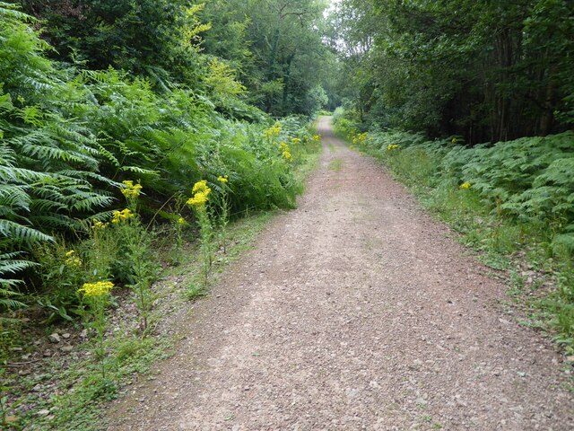
The hill is a popular destination for outdoor enthusiasts, nature lovers, and hikers alike. Its extensive network of trails and footpaths provides ample opportunities for exploration and adventure. The terrain is a mix of grassy slopes, rocky outcrops, and wooded areas, adding to the diversity of the landscape.
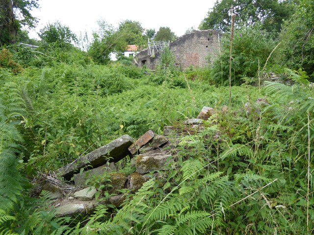
The summit of Park Hill is home to an ancient Iron Age hillfort, which dates back to around 500 BC. The remains of the fortifications can still be seen today, offering visitors a glimpse into the area's rich history. Archaeological discoveries within the hillfort have included pottery fragments and other artifacts, shedding light on the lives of its ancient inhabitants.
Aside from its historical significance, Park Hill is also known for its abundant wildlife. The hill is a habitat for various species of birds, mammals, and plants, making it an ideal spot for birdwatching and nature photography.
Accessible by car or foot, Park Hill is a popular destination for day trips and weekend getaways. The nearby village of Painswick offers amenities such as accommodations, cafes, and pubs, ensuring visitors have everything they need for a memorable experience. Whether it's for a leisurely stroll, an invigorating hike, or simply enjoying the stunning vistas, Park Hill is a must-visit destination for nature enthusiasts and history buffs alike.
If you have any feedback on the listing, please let us know in the comments section below.
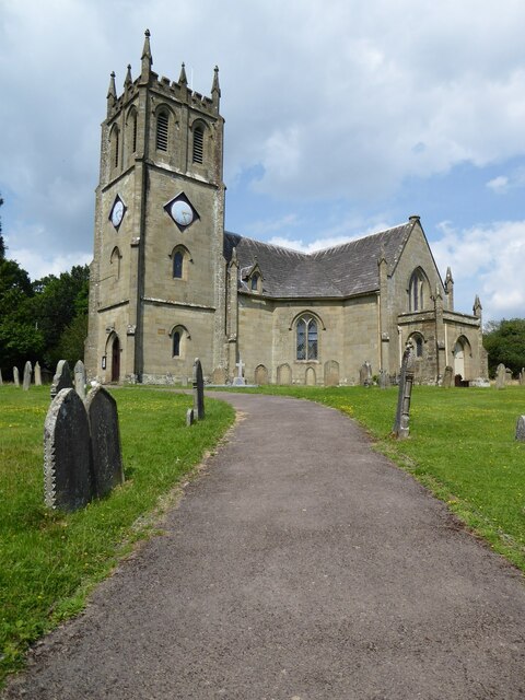
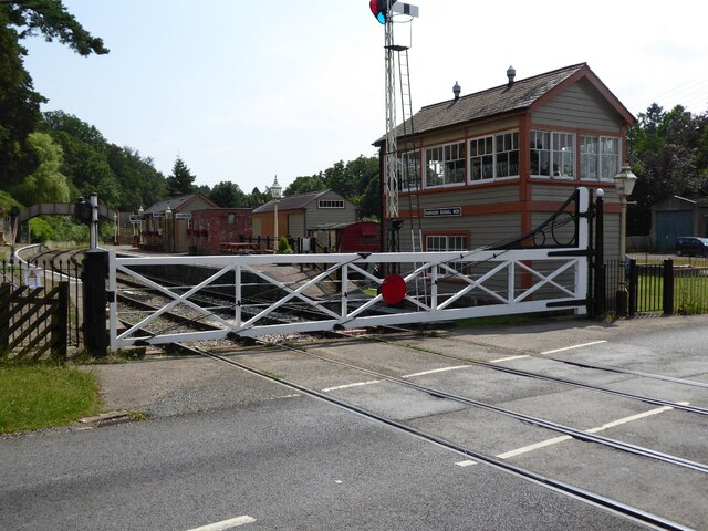
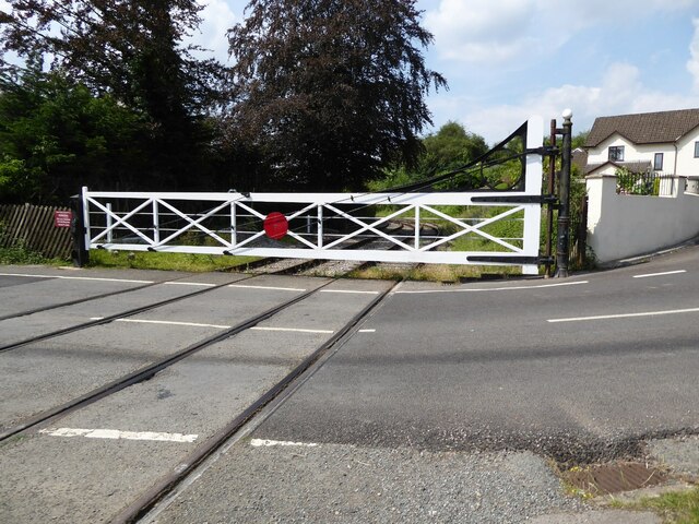
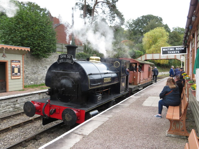
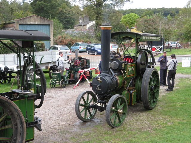
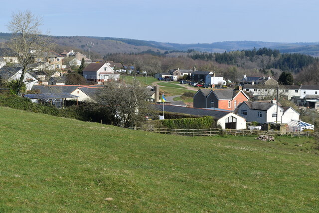
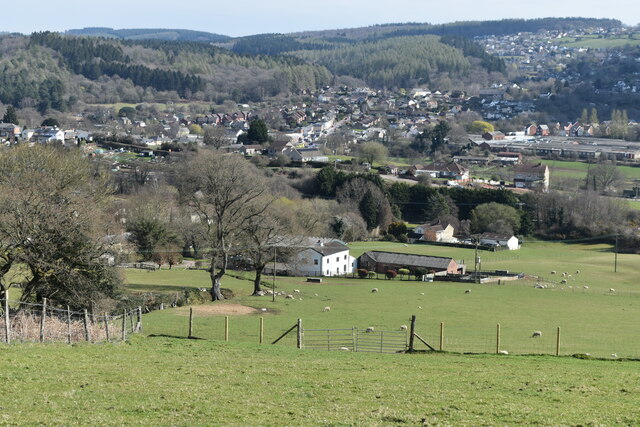
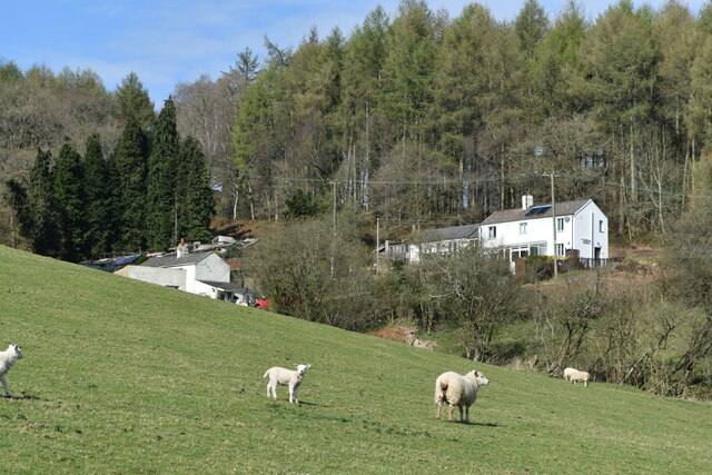
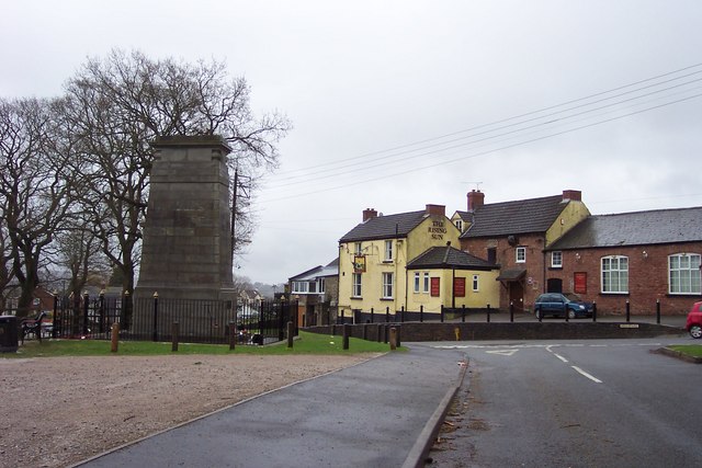
Park Hill Images
Images are sourced within 2km of 51.765103/-2.5715279 or Grid Reference SO6007. Thanks to Geograph Open Source API. All images are credited.

Park Hill is located at Grid Ref: SO6007 (Lat: 51.765103, Lng: -2.5715279)
Administrative County: Gloucestershire
District: Forest of Dean
Police Authority: Gloucestershire
What 3 Words
///affirming.safe.causes. Near Bream, Gloucestershire
Nearby Locations
Related Wikis

Mary Rose Young
Mary Rose Young is a ceramic artist who lives and works in the Forest of Dean, Gloucestershire, in the UK. == Early life == Mary Rose Young was born near...

Nagshead
Nagshead is a woodland reserve, located on the western edge of Parkend, in the Forest of Dean, Gloucestershire, and is home to RSPB Nagshead. The site...

Parkend Ironworks
Parkend Ironworks, also known as Parkend Furnace, in the village of Parkend, in the Forest of Dean, Gloucestershire, England, was a coke-fired furnace...

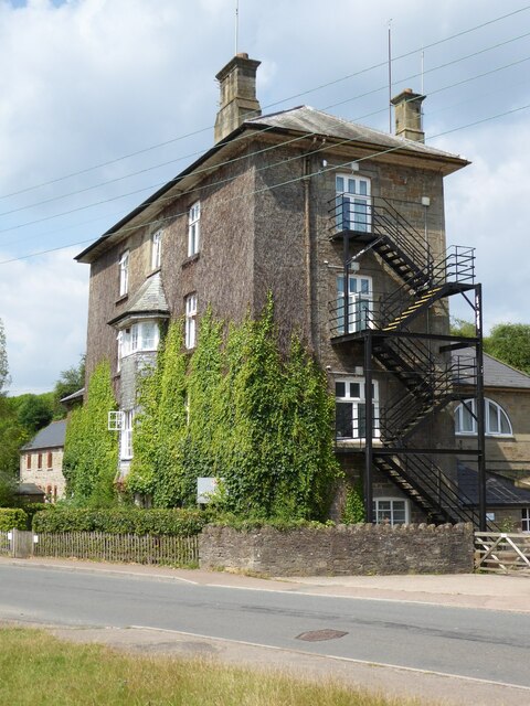
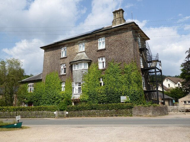
Parkend
Parkend is a village, located at the foot of the Cannop Valley, in the Royal Forest of Dean, West Gloucestershire, England, and has a history dating back...

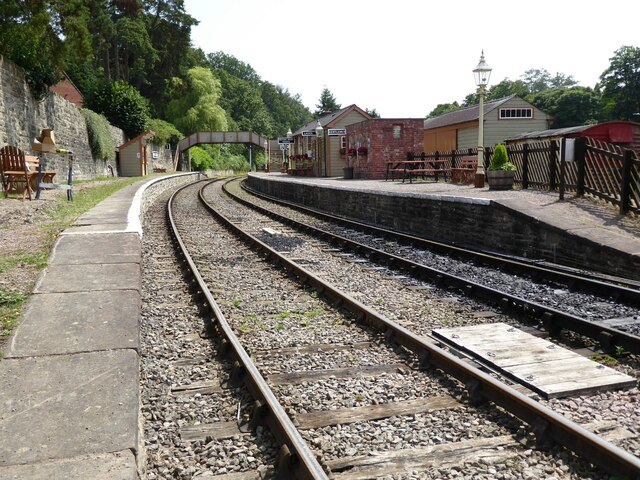
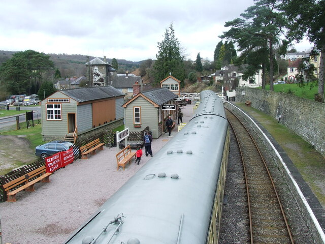
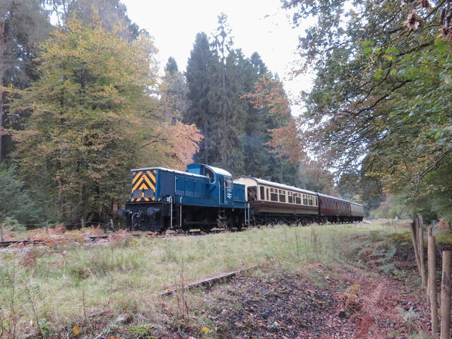
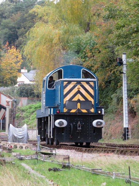
Parkend railway station
Parkend railway station is located in the village of Parkend, in the Forest of Dean, Gloucestershire. It is currently the northern terminus of the Dean...

Nagshead SSSI
Nagshead SSSI is a 297 acres (120 ha) biological Site of Special Scientific Interest located within RSPB Nagshead, near Parkend, in the Forest of Dean...

Ellwood, Gloucestershire
Ellwood is a hamlet in the Forest of Dean district in Gloucestershire, England. It lies around 3 kilometres (1.9 mi) south-east of Coleford. The hamlet...
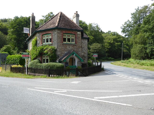
Bream, Gloucestershire
Bream (historically known as Breem) is a village in the Forest of Dean, west Gloucestershire, England. The population was around 3,170 in the 2011 census...
Nearby Amenities
Located within 500m of 51.765103,-2.5715279Have you been to Park Hill?
Leave your review of Park Hill below (or comments, questions and feedback).