Benaquhallie

Hill, Mountain in Aberdeenshire

Scotland

Benaquhallie

Moorland of Red Hill with fence, boundary stone and woodland The fence crosses the north end of Red Hill on Corrennie Moor. The boundary stone is unmarked - others seen in the area are cut with letters. Beyond the trees can be seen Green Hill.
Moorland of Red Hill with fence, boundary stone and woodland Credit: Trevor Littlewood

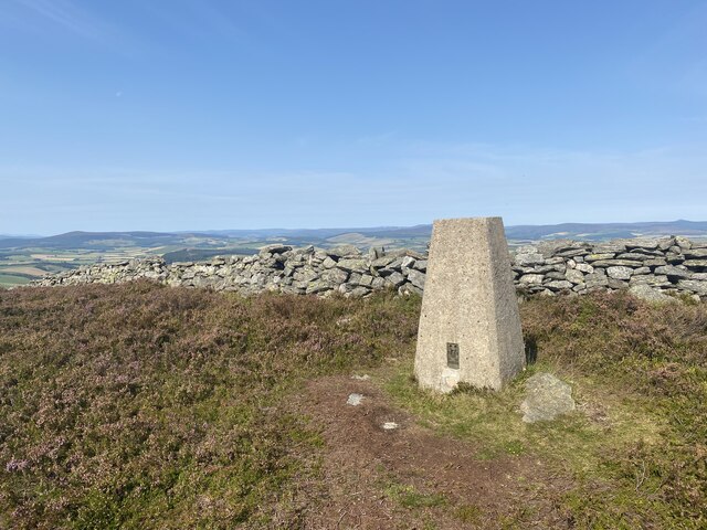
Benaquhallie is a prominent hill located in Aberdeenshire, Scotland. It lies approximately 7 miles west of the town of Inverurie and stands at an elevation of around 464 meters (1,522 feet). The hill is part of the larger Bennachie range, which is a popular destination for hikers, nature enthusiasts, and outdoor adventurers.

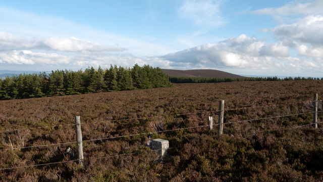
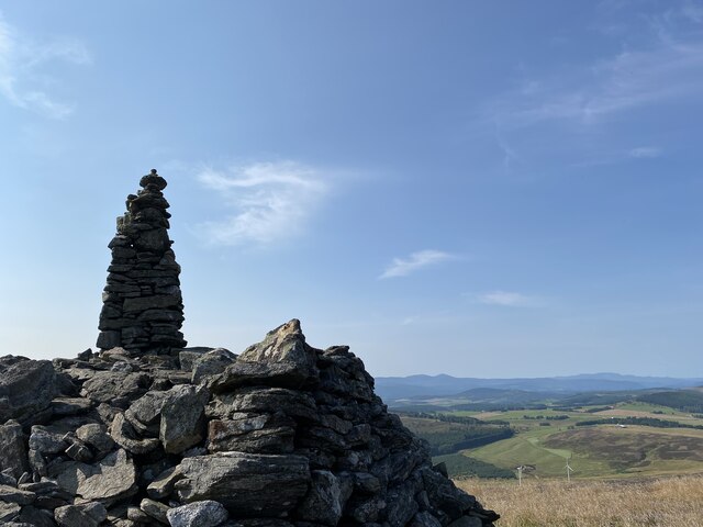
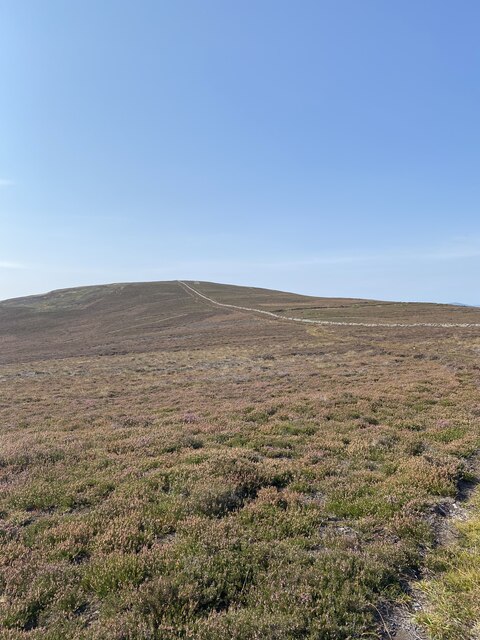
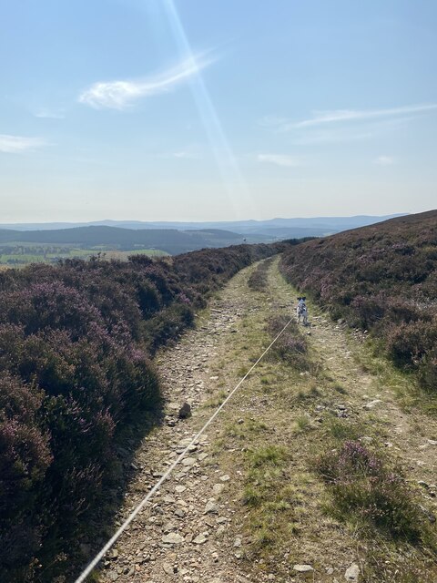
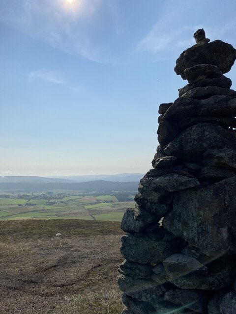
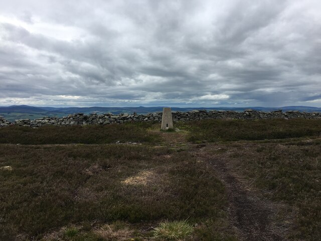
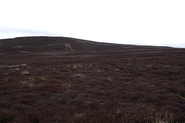
Benaquhallie offers breathtaking panoramic views of the surrounding countryside, including the fertile agricultural lands of Aberdeenshire and the distant peaks of the Cairngorms National Park. The hill is covered with heather, grasses, and scattered trees, providing a diverse habitat for various wildlife species such as red deer, rabbits, and a variety of bird species.

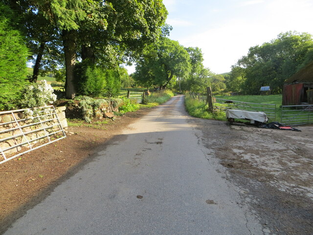
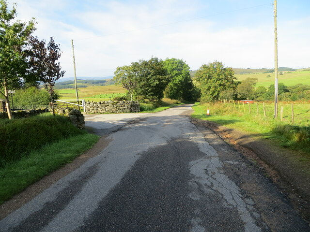
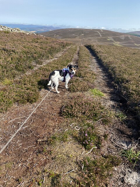
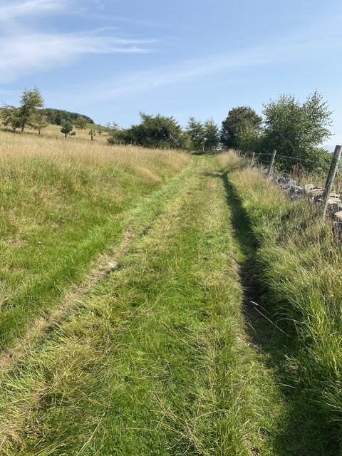
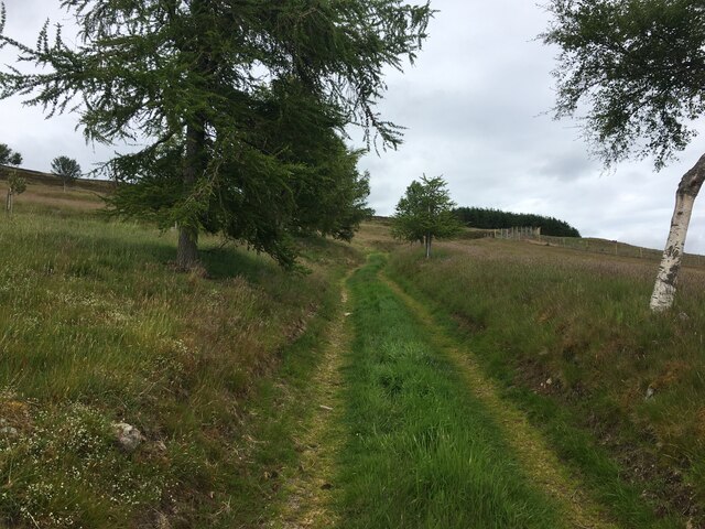
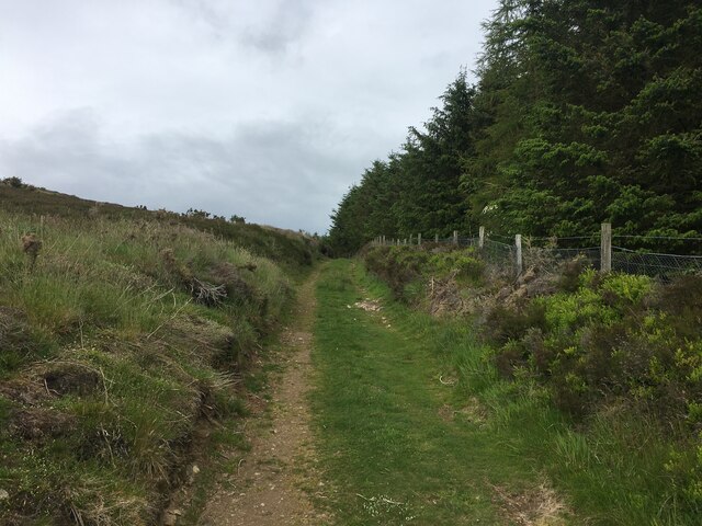
The summit of Benaquhallie can be reached by following well-maintained trails that wind their way up the hillside. The hike to the top is of moderate difficulty, offering a rewarding challenge for both experienced hikers and beginners. Along the way, visitors can appreciate the natural beauty of the area, including small streams, rocky outcrops, and the occasional glimpse of wildlife.

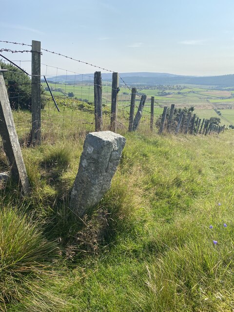
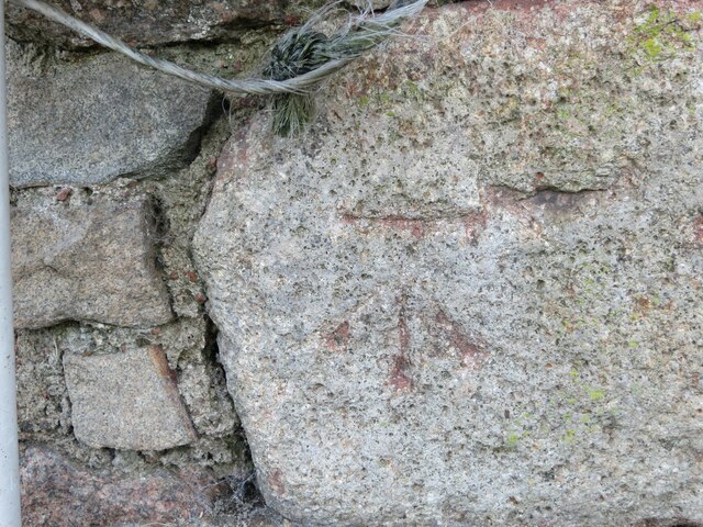
Benaquhallie is also steeped in history, with evidence of prehistoric settlements and ancient stone circles found in the surrounding area. The hill has been a significant landmark for centuries, providing a vantage point for communication and defense.

Overall, Benaquhallie is a cherished natural feature of Aberdeenshire, offering a captivating blend of natural beauty, wildlife, and historical significance to all who visit.

If you have any feedback on the listing, please let us know in the comments section below.

Benaquhallie Images

Images are sourced within 2km of 57.167448/-2.6524398 or Grid Reference NJ6008. Thanks to Geograph Open Source API. All images are credited.

Moorland of Red Hill with fence, boundary stone and woodland The fence crosses the north end of Red Hill on Corrennie Moor. The boundary stone is unmarked - others seen in the area are cut with letters. Beyond the trees can be seen Green Hill.
Moorland of Red Hill with fence, boundary stone and woodland
The fence crosses the north end of Red Hill on Corrennie Moor. The boundary stone is unmarked - others seen in the area are cut with letters. Beyond the trees can be seen Green Hill.
Minor road at Milton of Tolmauds Looking north-eastward.
Minor road at Milton of Tolmauds
Looking north-eastward.
Minor road at the entrance to Easter Tolmauds Looking south-westward.
Minor road at the entrance to Easter Tolmauds
Looking south-westward.
Cairn near Benaquhallie
Benaquhallie Trig Point Flush Bracket S5259
Path that doesn't exist on the map!
View to Benaquhallie
Track on descent from Benaquhallie
Boundary Stone
Boundary Stone
Track to Upper Broomhill
View from Cairn near Benaquhallie
Ordnance Survey Cut Mark This somewhat weathered mark can be found on the wall of a barn at Milton of Tolmauds.
The recorded details give a height of 235.0877 metres above sea level.
For more details see : <span class="nowrap"><a title="https://www.bench-marks.org.uk/bm163474" rel="nofollow ugc noopener" href="https://www.bench-marks.org.uk/bm163474">Link</a><img style="margin-left:2px;" alt="External link" title="External link - shift click to open in new window" src="https://s1.geograph.org.uk/img/external.png" width="10" height="10"/></span>
Ordnance Survey Cut Mark
This somewhat weathered mark can be found on the wall of a barn at Milton of Tolmauds. The recorded details give a height of 235.0877 metres above sea level. For more details see : LinkExternal link
No through road near Tornaveen
Farm track above Upper Broomhill
Hill track above Upper Broomhill
Trig point on Benaquhallie
Corrennie Moor Looking towards Benaquhallie.
Corrennie Moor
Looking towards Benaquhallie.
Tank, Corrennie Moor A rusting water tank at the head of the Newbigging Burn.
Tank, Corrennie Moor
A rusting water tank at the head of the Newbigging Burn.
Show me another place!

Benaquhallie is located at Grid Ref: NJ6008 (Lat: 57.167448, Lng: -2.6524398)

Unitary Authority: Aberdeenshire

Police Authority: North East

What 3 Words

///quote.nipping.clutches. Near Torphins, Aberdeenshire

Nearby Locations

Benaquhallie

Related Wikis

Aberdeenshire (historic)

Aberdeenshire or the County of Aberdeen (Scots: Coontie o Aiberdeen, Scottish Gaelic: Siorrachd Obar Dheathain) is a historic county and registration county...

Tornaveen

Tornaveen (Scottish Gaelic: Tòrr nam Fiann) is a district to the north of the small village of Lumphanan, Aberdeenshire, Scotland. It is on the Tarland...
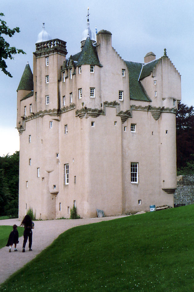
Craigievar Castle

Craigievar Castle is a pinkish harled castle or fortified country house 6 miles (9.7 km) south of Alford, Aberdeenshire, Scotland. It was the seat of Clan...

Kirkton of Tough

Kirkton of Tough, usually shortened to Tough ( TUUKH), is a settlement in the Marr area of Aberdeenshire, Scotland at grid reference NJ615129. It is about...

Nearby Amenities

Located within 500m of 57.167448,-2.6524398
Benaquhallie
Corbett: no
Ele: 494
Graham: no
Marilyn: yes
Munro: no
Natural: peak
Prominence: 206
Lat/Long: 57.1677123/-2.6520766
The data included in this document is from www.openstreetmap.org. The data is made available under ODbL.

Have you been to Benaquhallie?

Leave your review of Benaquhallie below (or comments, questions and feedback).