Collar Law

Hill, Mountain in East Lothian

Scotland

Collar Law

Track Junction, Lammermuirs On the northern slopes of Little Says Law is this track junction. Both tracks lead up from Faseny Cottage and beyond this point the track is much poorer.
Track Junction, Lammermuirs Credit: Adam Ward

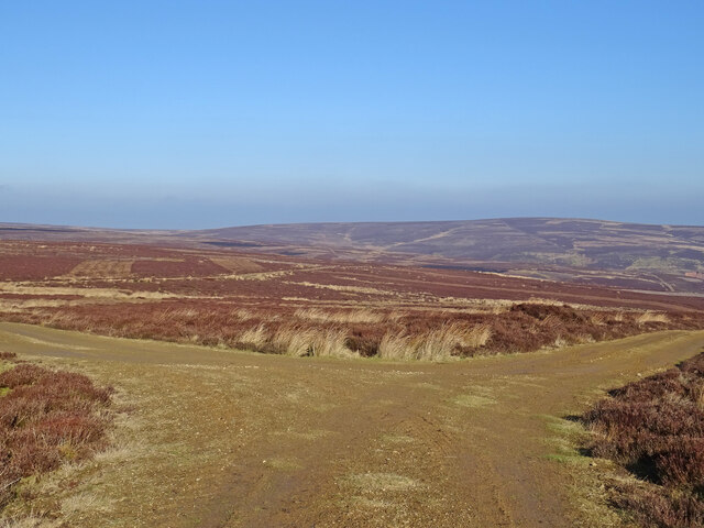
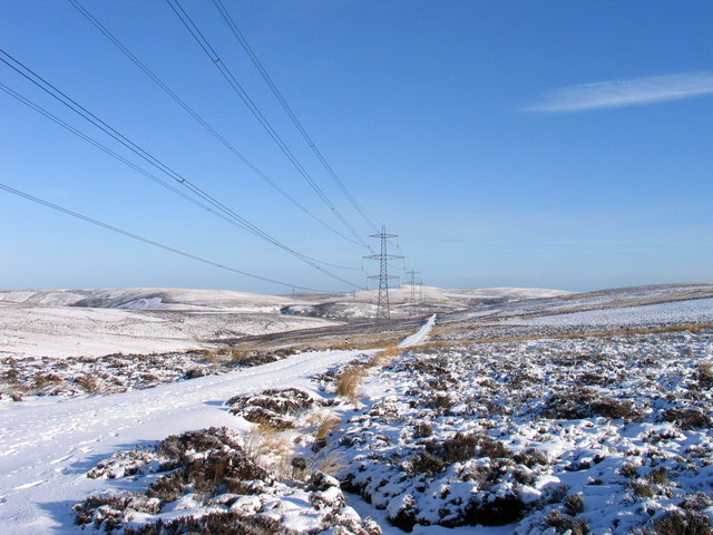
Collar Law is a prominent hill situated in East Lothian, a council area in southeastern Scotland. It is part of the Lammermuir Hills range, known for its picturesque landscapes and rich history. Rising to an elevation of approximately 399 meters (1,309 feet), Collar Law offers breathtaking panoramic views of the surrounding countryside.

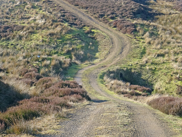
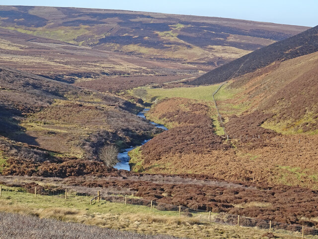
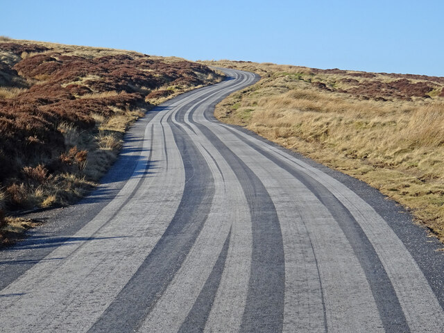
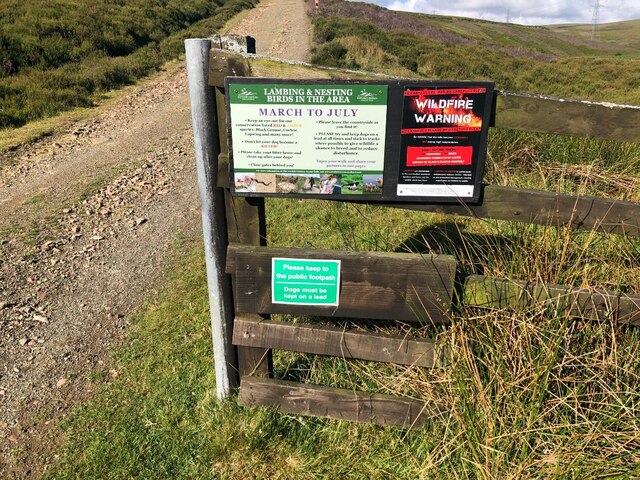
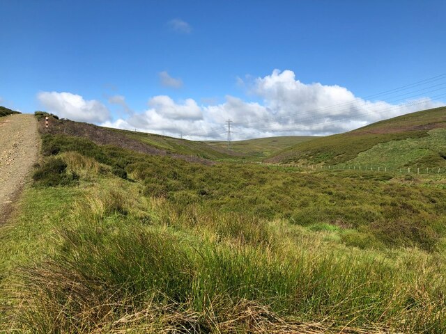
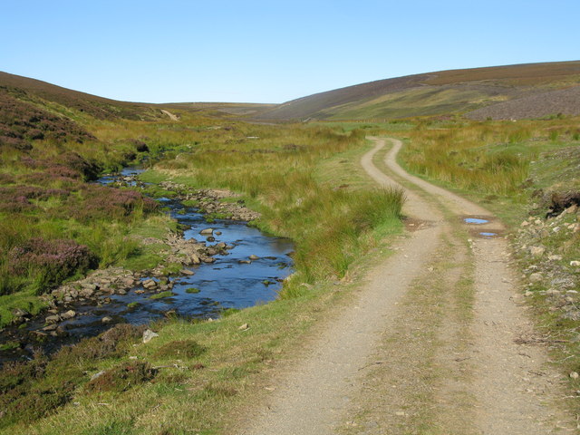
The hill is a popular destination for hikers, nature enthusiasts, and outdoor adventurers due to its accessible location and well-maintained trails. The ascent to the summit is relatively moderate, making it suitable for individuals of various fitness levels. On a clear day, visitors can marvel at the stunning vistas that encompass rolling green hills, charming farmland, and distant coastal views.

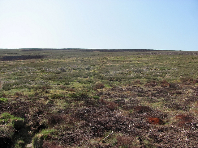
Collar Law is also known for its diverse flora and fauna, with an abundance of heather, grasses, and wildflowers adorning its slopes. The hill provides a habitat for numerous bird species, including buzzards, kestrels, and pheasants, making it an ideal location for birdwatching enthusiasts.

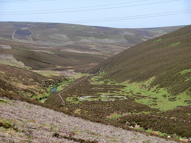
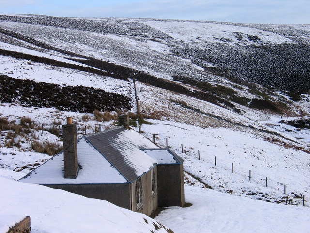
The area surrounding Collar Law is steeped in history, with evidence of ancient settlements and prehistoric remains found in the vicinity. Visitors can explore the nearby archaeological sites or simply enjoy the tranquil ambiance of the hill, away from the hustle and bustle of city life.

Overall, Collar Law offers a perfect blend of natural beauty, recreational opportunities, and historical significance, making it a must-visit destination for those seeking a peaceful retreat or an adventurous outdoor experience in East Lothian.

If you have any feedback on the listing, please let us know in the comments section below.
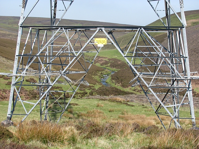
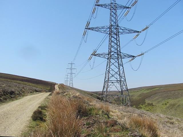
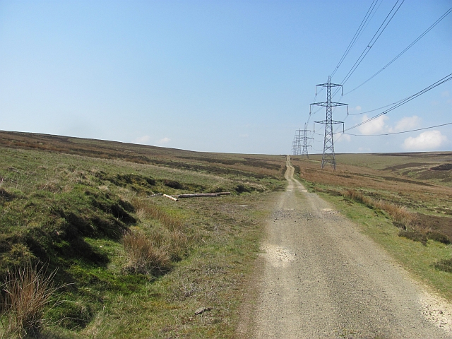
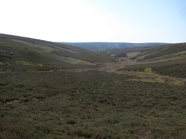
Collar Law Images

Images are sourced within 2km of 55.85056/-2.6332477 or Grid Reference NT6062. Thanks to Geograph Open Source API. All images are credited.

Track Junction, Lammermuirs On the northern slopes of Little Says Law is this track junction. Both tracks lead up from Faseny Cottage and beyond this point the track is much poorer.
Track Junction, Lammermuirs
On the northern slopes of Little Says Law is this track junction. Both tracks lead up from Faseny Cottage and beyond this point the track is much poorer.
Ford No More Looks like the track here has been upgraded and a culvert built on this track heading up towards Little Says Law since this picture in 2006:-
<a title="https://www.geograph.org.uk/photo/121032" href="https://www.geograph.org.uk/photo/121032">Link</a>
The track is going over the Easter Lamb Burn on the north side of Collar Law.
Unlike Chris back in February 2006 I had a 'lovely balmy early spring like day'
according to my diary.
Ford No More
Looks like the track here has been upgraded and a culvert built on this track heading up towards Little Says Law since this picture in 2006:- Link The track is going over the Easter Lamb Burn on the north side of Collar Law. Unlike Chris back in February 2006 I had a 'lovely balmy early spring like day' according to my diary.
Faseny Water Looking upstream of the Faseny Water on a balmy early spring day. Recent muirburn can be seen on the slopes of Herd's Hill.
Faseny Water
Looking upstream of the Faseny Water on a balmy early spring day. Recent muirburn can be seen on the slopes of Herd's Hill.
Stripy Road Recent resurfacing has resulted in car tyres making these striking patterns on the minor road between Longformacus and Gifford.
Stripy Road
Recent resurfacing has resulted in car tyres making these striking patterns on the minor road between Longformacus and Gifford.
Keep out sign, Faseny Bridge Dubious signage, there are no "footpaths" in the Lammermuir Hills, so this is a straight up goml sign. One for the East Lothian Council Access Officer.    There were other examples nearby.

The irony of the fire warnings was not lost on me either. Fortunately the dry spell is now a memory.
Keep out sign, Faseny Bridge
Dubious signage, there are no "footpaths" in the Lammermuir Hills, so this is a straight up goml sign. One for the East Lothian Council Access Officer. There were other examples nearby. The irony of the fire warnings was not lost on me either. Fortunately the dry spell is now a memory.
Faseny Water Upstream of Faseny Bridge.
Faseny Water
Upstream of Faseny Bridge.
Faseny Water View upstream from under the pylons.
Faseny Water
View upstream from under the pylons.
Lammermuir moorland An as yet unthreatened corner of the Lammermuir Hills on Hare Cleugh Rig.
Lammermuir moorland
An as yet unthreatened corner of the Lammermuir Hills on Hare Cleugh Rig.
Faseny Water The burn, seen through one of the Torness power line pylons.
Faseny Water
The burn, seen through one of the Torness power line pylons.
Torness power line and road 400kV power line exporting electricity from Torness power station and will also be receiving a trickle from the disgusting Fallago Rig wind farm in the near future. Construction could be heard in the distance.
Torness power line and road
400kV power line exporting electricity from Torness power station and will also be receiving a trickle from the disgusting Fallago Rig wind farm in the near future. Construction could be heard in the distance.
Torness power line and road Crossing Killpallet Heights on a hot (mid twenties) day.
Torness power line and road
Crossing Killpallet Heights on a hot (mid twenties) day.
Kerson's Cleugh A tongue of East Lothian between two burns.
Kerson's Cleugh
A tongue of East Lothian between two burns.
Estate road and electricity transmission lines passing Killpallet Heights A light snow covering over the Lammermuir Hills transforms the heather moorland. The view is towards the hills of Spartleton Edge, the highest of which is Spartleton itself.
Estate road and electricity transmission lines passing Killpallet Heights
A light snow covering over the Lammermuir Hills transforms the heather moorland. The view is towards the hills of Spartleton Edge, the highest of which is Spartleton itself.
Faseny Cottage in snow Faseny Cottage and the valley of Faseny Water. Oddly, OS mapping at the 1:50 000 scale marks a building on the eastern side of north/south grid line '61' and none on its west side, suggesting that Faseny Cottage could be in another grid square but all larger scale maps have it recorded here.
Faseny Cottage in snow
Faseny Cottage and the valley of Faseny Water. Oddly, OS mapping at the 1:50 000 scale marks a building on the eastern side of north/south grid line '61' and none on its west side, suggesting that Faseny Cottage could be in another grid square but all larger scale maps have it recorded here.
Track to Meikle Says Law Rather disconcertingly, the track to the highest point of the Lammermuir Hills starts by heading steadily downwards.
Track to Meikle Says Law
Rather disconcertingly, the track to the highest point of the Lammermuir Hills starts by heading steadily downwards.
Footbridge over Faseny Water and Faseny Cottage By all accounts Faseny Cottage is uninhabited and was probably a former shepherd's cottage. However on the day of my visit there was a car parked outside the cottage.
Footbridge over Faseny Water and Faseny Cottage
By all accounts Faseny Cottage is uninhabited and was probably a former shepherd's cottage. However on the day of my visit there was a car parked outside the cottage.
Track to Meikle Says Law and Faseny Water Care has to be taken to select the correct track at Faseny if climbing to Meikle Says Law. This is now the only one which will reach Meikle Says Law without having to cross thick heather and boggy ground. However 5 slightly awkward fords of Faseny Water have to be negotiated.
Track to Meikle Says Law and Faseny Water
Care has to be taken to select the correct track at Faseny if climbing to Meikle Says Law. This is now the only one which will reach Meikle Says Law without having to cross thick heather and boggy ground. However 5 slightly awkward fords of Faseny Water have to be negotiated.
Lammermuir sunset The sun sets behind the now trashed Meikle Says Law.
Lammermuir sunset
The sun sets behind the now trashed Meikle Says Law.
Show me another place!

Collar Law is located at Grid Ref: NT6062 (Lat: 55.85056, Lng: -2.6332477)

Unitary Authority: East Lothian

Police Authority: The Lothians and Scottish Borders

What 3 Words

///cliff.firelight.taxed. Near Haddington, East Lothian

Related Wikis

Mutiny Stones

The Mutiny Stones are a megalithic monument in the Lammermuir Hills, Scotland.Situated on Byrecleugh Rig, the nearest centre of habitation is at Longformacus...

Black Castle, East Lothian

Black Castle, East Lothian is an Iron Age hillfort with a number of defensive banks, located 5 kilometres (3.1 mi) south-east of Gifford, East Lothian...

Whiteadder Reservoir

Whiteadder Reservoir is a reservoir in East Lothian, Scotland, UK, in the Lammermuir Hills, 11 miles (18 km) north west of Duns in the Scottish Borders...

Hopes Reservoir

Hopes Reservoir is a small reservoir in East Lothian, Scotland, in the Lammermuir Hills. It is located in the parish of Yester, 6 km (3.7 mi) south of...

Nearby Amenities

Located within 500m of 55.85056,-2.6332477
Collar Law
Natural: peak
Lat/Long: 55.8497263/-2.6332326
The data included in this document is from www.openstreetmap.org. The data is made available under ODbL.

Have you been to Collar Law?

Leave your review of Collar Law below (or comments, questions and feedback).