Birk Knott

Hill, Mountain in Westmorland South Lakeland

England

Birk Knott

ATV tracks, Roundthwaite Common The ridge north of Borrowdale.
ATV tracks, Roundthwaite Common Credit: Richard Webb

Birk Knott is a prominent hill located in Westmorland, a county in the North West of England. With an elevation of approximately 312 meters (1,024 feet), it stands as one of the many stunning peaks in the region. Birk Knott is situated within the stunning landscape of the Lake District National Park, known for its breathtaking scenery and outdoor recreational opportunities.

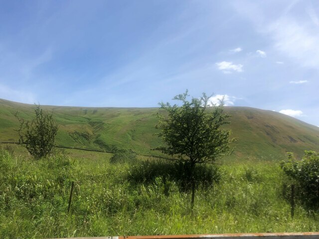
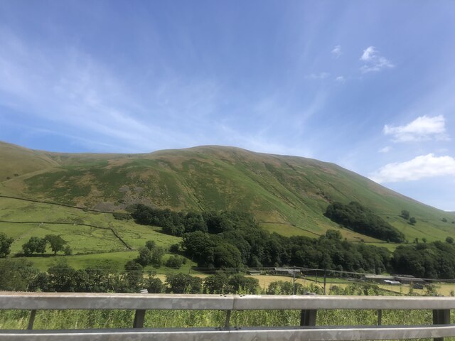
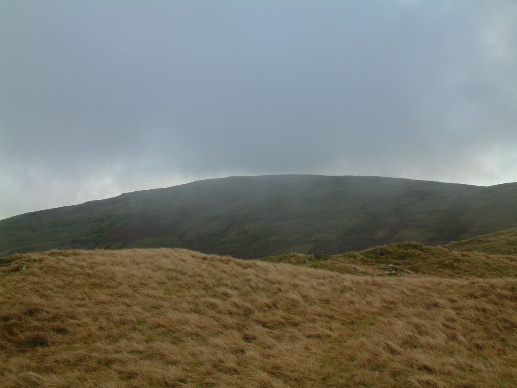
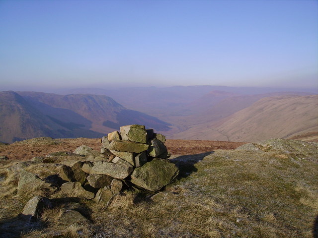
This hill offers visitors and hikers the chance to experience the natural beauty of the area. Its slopes are covered with verdant grass, and the summit provides panoramic views of the surrounding countryside. On clear days, it is possible to see the vast expanse of the Lake District, including the stunning lakes and rolling hills.

Birk Knott is a popular spot for outdoor enthusiasts, attracting both locals and tourists alike. The hill provides an ideal location for hiking, with various routes and trails to suit different levels of experience. As visitors ascend the hill, they will be treated to stunning vistas, including picturesque villages, lush valleys, and the majestic peaks of the Lake District.

Nature enthusiasts will also appreciate the diverse wildlife that inhabits the area surrounding Birk Knott. The hill is home to a variety of bird species, including the skylark and meadow pipit. It is not uncommon to spot other wildlife such as rabbits, hares, and even deer.

Birk Knott offers a peaceful retreat from the hustle and bustle of daily life, providing an opportunity for visitors to connect with nature and enjoy the natural wonders of the Lake District.

If you have any feedback on the listing, please let us know in the comments section below.

Birk Knott Images

Images are sourced within 2km of 54.399487/-2.6152598 or Grid Reference NY6000. Thanks to Geograph Open Source API. All images are credited.

ATV tracks, Roundthwaite Common The ridge north of Borrowdale.
ATV tracks, Roundthwaite Common
The ridge north of Borrowdale.
Casterfell Hill
Casterfell Hill
Frost, Roundthwaite A track to or from Borrowdale.
Frost, Roundthwaite
A track to or from Borrowdale.
Dripping hawthorn Drizzly days when the water runs off the track and drips from the trees are also ideal for greying out the background and showing the silhouette of a bare tree. Of several Hawthorns and Ash trees along the way, this one was the most aesthetically pleasing in its context, which is the bottom end of Barrowdale, a valley I've visited twice to look at the Beck, but haven't yet managed to paddle it. At this point it is some way below the path (which is a public bridleway at this point) and barely visible, but a lack of noise suggests nothing too serious in the way of rapids lie hidden down there.
Dripping hawthorn
Drizzly days when the water runs off the track and drips from the trees are also ideal for greying out the background and showing the silhouette of a bare tree. Of several Hawthorns and Ash trees along the way, this one was the most aesthetically pleasing in its context, which is the bottom end of Barrowdale, a valley I've visited twice to look at the Beck, but haven't yet managed to paddle it. At this point it is some way below the path (which is a public bridleway at this point) and barely visible, but a lack of noise suggests nothing too serious in the way of rapids lie hidden down there.
The start of the fun, Borrow Beck Down to about the limit of this view, Borrow Beck rarely rises above grade 2, but here the valley starts to entrench a little and beck becomes steeper and more sporting at grade 3 with perhaps the odd bit of 4. To paddle the full trip from High Borrow Bridge (by the A6 - involving a very long road shuttle compared with the length of the paddle) would need quite a bit more water than this as the channel is wider and shallower, but from here, for 2½ kilometres down to a take-out close to the confluence with the River Lune, you could just about bounce down at this level. With some proper rain rather than today's half-hearted drizzle, it looks like being a worthwhile trip and the first kilometre of the track is public road, making a carry-in with the boat over your shoulder for the kilometre or so to the bridge here not entirely unreasonable. The course from here is somewhat tree-lined, however, so the usual caveats about running blind round bends apply, especially after the sort of stormy winter we've just had.
The start of the fun, Borrow Beck
Down to about the limit of this view, Borrow Beck rarely rises above grade 2, but here the valley starts to entrench a little and beck becomes steeper and more sporting at grade 3 with perhaps the odd bit of 4. To paddle the full trip from High Borrow Bridge (by the A6 - involving a very long road shuttle compared with the length of the paddle) would need quite a bit more water than this as the channel is wider and shallower, but from here, for 2½ kilometres down to a take-out close to the confluence with the River Lune, you could just about bounce down at this level. With some proper rain rather than today's half-hearted drizzle, it looks like being a worthwhile trip and the first kilometre of the track is public road, making a carry-in with the boat over your shoulder for the kilometre or so to the bridge here not entirely unreasonable. The course from here is somewhat tree-lined, however, so the usual caveats about running blind round bends apply, especially after the sort of stormy winter we've just had.
Tree guards in position across Borrow Beck
 M6 northbound
M6 northbound
Tracks on Jeffrey's Mount View along the ridge towards Casterfell Hill.
Tracks on Jeffrey's Mount
View along the ridge towards Casterfell Hill.
South side of Jeffrey's Mount Looking into Borrowdale.
South side of Jeffrey's Mount
Looking into Borrowdale.
South side of Jeffrey's Mount View towards Casterfell Hill on the ridge north of Borrowdale.
South side of Jeffrey's Mount
View towards Casterfell Hill on the ridge north of Borrowdale.
Temperature inversion in Lunedale The fog has almost evaporated at this point but was still thick over Morecambe Bay and well to the south. The West Coast Main Line and M6 squeeze through the westernmost of the Yorkshire Dales, a narrow corridor between the Lake District National Park (foreground) and the Yorkshire Dales National Park over the river.
Temperature inversion in Lunedale
The fog has almost evaporated at this point but was still thick over Morecambe Bay and well to the south. The West Coast Main Line and M6 squeeze through the westernmost of the Yorkshire Dales, a narrow corridor between the Lake District National Park (foreground) and the Yorkshire Dales National Park over the river.
View west to Borrowdale As seen from the M6
View west to Borrowdale
As seen from the M6
The final reach of Borrow Beck The A685 bridge (from which this shot was taken) is the landmark for taking out of Borrow Beck, whether you've paddled from High Borrow Bridge by the A6 (involving a remarkably long shuttle by car for the length of the trip) or you've driven a kilometre up the valley and carried in to do just the final and most interesting 2½ kilometres (for which there is probably just about enough water seen here, unlike the upper section which definitely needs more rain). The (topographical) right bank is the right bank to egress, whether just here, or at Low Borrow Bridge just before the confluence with the River Lune. As always with a wooded valley, and especially after a stormy winter such as we have just had, watch out for fallen trees.
The final reach of Borrow Beck
The A685 bridge (from which this shot was taken) is the landmark for taking out of Borrow Beck, whether you've paddled from High Borrow Bridge by the A6 (involving a remarkably long shuttle by car for the length of the trip) or you've driven a kilometre up the valley and carried in to do just the final and most interesting 2½ kilometres (for which there is probably just about enough water seen here, unlike the upper section which definitely needs more rain). The (topographical) right bank is the right bank to egress, whether just here, or at Low Borrow Bridge just before the confluence with the River Lune. As always with a wooded valley, and especially after a stormy winter such as we have just had, watch out for fallen trees.
Langdale Fells from the M6
Blease Fell
Blease Fell
M6 Bridge, West Coast Mainline bridge
River Lune
River Lune
Enigmatic ridges — 'Curiouser and curiouser!” Cried Alice
Show me another place!

Birk Knott is located at Grid Ref: NY6000 (Lat: 54.399487, Lng: -2.6152598)

Administrative County: Cumbria

District: South Lakeland

Police Authority: Cumbria

What 3 Words

///earth.rubble.nightcap. Near Sedbergh, Cumbria

Nearby Locations

Birk Knott

Related Wikis

Grayrigg Forest

Grayrigg Forest is a hill in Cumbria, England, located on the eastern edge of what might be considered the Lake District. In August 2016 it became part...

Tebay rail accident

The Tebay rail accident occurred when four railway workers working on the West Coast Main Line were killed by a runaway wagon near Tebay, Cumbria, England...

Roundthwaite

Roundthwaite is a small village in Cumbria, England. It is located about a mile south west of Tebay, is part of the Tebay parish, and the majority of its...

Whinfell Beacon

Whinfell Beacon is a hill of 472 metres (1,549 ft) in South Lakeland, Cumbria, England, to the east of the Lake District. It is in the far east of the...

Tebay railway station

Tebay railway station was situated on the Lancaster and Carlisle Railway (L&CR) (part of the West Coast Main Line) between Lancaster and Penrith. It served...

Winterscleugh

Winterscleugh is a hill of 464 metres (1,522 ft) in Cumbria, England, to the east of the Lake District. It is in the far east of the Lake District National...

Birk Beck

Birk Beck is a minor river in Cumbria.Rising on the fells near Shap, Birk Beck runs south-by-south east, picking up Wasdale Beck (running east and draining...

Borrowdale, Westmorland

Borrowdale is a valley in the English Lake District. It is located in the county of Westmorland, and is sometimes referred to as Westmorland Borrowdale...

Nearby Amenities

Located within 500m of 54.399487,-2.6152598
Birk Knott
Ele: 404
Natural: peak
Lat/Long: 54.3998013/-2.6148113
The data included in this document is from www.openstreetmap.org. The data is made available under ODbL.

Have you been to Birk Knott?

Leave your review of Birk Knott below (or comments, questions and feedback).