Redpath Hill
Hill, Mountain in Berwickshire
Scotland
Redpath Hill
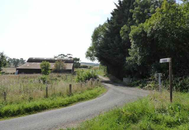
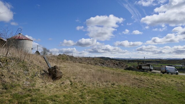
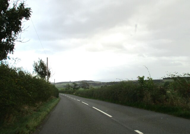
Redpath Hill is a prominent hill located in the county of Berwickshire, in the southeastern part of Scotland. Situated near the village of Redpath, the hill is part of the Southern Uplands, a range of rolling hills and moorland that stretches across the Scottish Borders region. Redpath Hill stands at an elevation of approximately 336 meters (1,102 feet) above sea level, making it a notable landmark in the area.
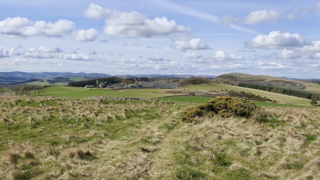
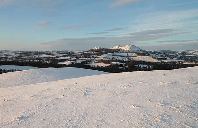
The hill is characterized by its gently sloping terrain, covered in heather and grasses, with scattered areas of rocky outcrops. It offers panoramic views of the surrounding countryside, with vistas that extend towards the Cheviot Hills to the south and the Lammermuir Hills to the north. On clear days, it is possible to see as far as the Northumberland coast.
Redpath Hill is a popular destination for outdoor enthusiasts and hikers, who are drawn to its scenic beauty and tranquil atmosphere. Several walking trails traverse the hill, providing opportunities for leisurely strolls or more challenging hikes. The hill is also known for its diverse wildlife, including various bird species, such as curlews and lapwings, as well as rabbits and hares.
Access to Redpath Hill is relatively straightforward, with a designated car park located nearby, and the hill itself is easily reached by foot. Its location in the picturesque Berwickshire countryside, combined with its natural beauty and recreational opportunities, make Redpath Hill a popular destination for nature lovers and those seeking a peaceful escape in the Scottish Borders.
If you have any feedback on the listing, please let us know in the comments section below.
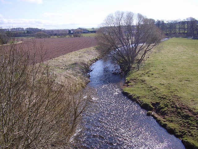
Redpath Hill Images
Images are sourced within 2km of 55.617626/-2.6349641 or Grid Reference NT6036. Thanks to Geograph Open Source API. All images are credited.


Redpath Hill is located at Grid Ref: NT6036 (Lat: 55.617626, Lng: -2.6349641)
Unitary Authority: The Scottish Borders
Police Authority: The Lothians and Scottish Borders
What 3 Words
///mango.sweated.study. Near Earlston, Scottish Borders
Nearby Locations
Related Wikis
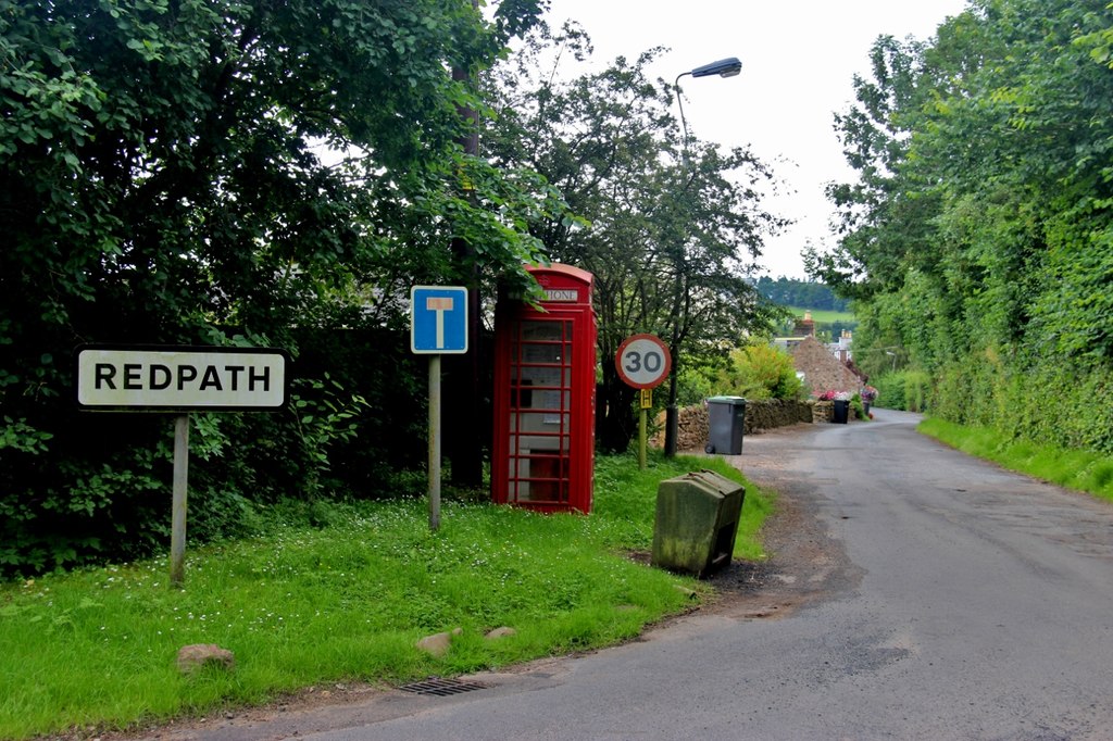
Redpath, Scottish Borders
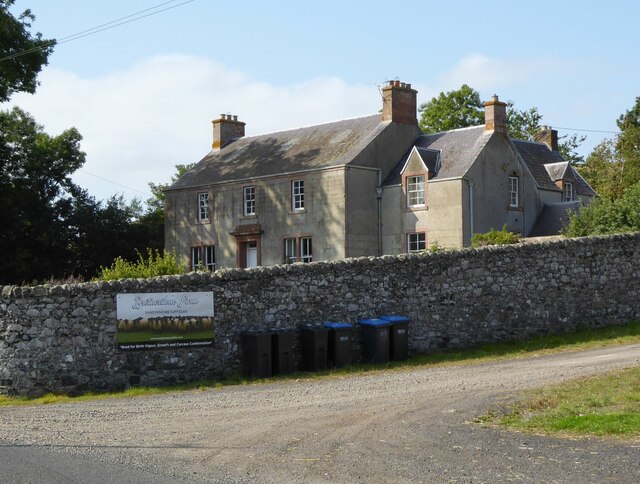
Redpath (Scots: Rippath) is a small village located between the larger settlements of Earlston, 2 miles (3.2 km) to the north, and St Boswells, 3 miles...
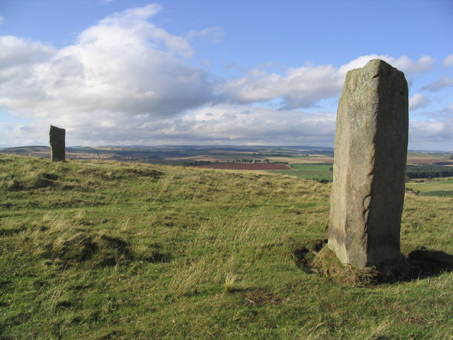
Brotherstone Hill
Brotherstone Hill is a hill near St. Boswells and the Eildon Hills in the Scottish Borders area of Scotland, with two standing stones from the megalithic...

Scott's View
Scott's View is a viewpoint in the Scottish Borders, overlooking the valley of the River Tweed, which is reputed to be one of the favourite views of Sir...

St Andrew's College, Drygrange
St Andrew's College, Drygrange, located near Melrose, Scotland, was a Roman Catholic seminary founded in 1953 and closed in 1986. == History == === Foundation... ===

Bemersyde Moss
Bemersyde Moss is a Scottish Wildlife Trust nature reserve and a Site of Special Scientific Interest at Bemersyde in the Scottish Borders area of Scotland...
Bemersyde
Bemersyde is a hamlet in the Mertoun parish of Berwickshire, in the Scottish Borders. It sits on the left bank of the River Tweed, about three miles east...
Leader Water
Leader Water is a small tributary of the River Tweed in Lauderdale in the Scottish Borders. It flows southwards from the Lammermuir Hills through the towns...
Earlston High School
Earlston High School is a secondary school in Earlston, Scottish Borders. It serves Earlston, as well as the surrounding area. Since 2009, the school has...
Nearby Amenities
Located within 500m of 55.617626,-2.6349641Have you been to Redpath Hill?
Leave your review of Redpath Hill below (or comments, questions and feedback).