Corsedardar Hill
Hill, Mountain in Aberdeenshire
Scotland
Corsedardar Hill

Corsedardar Hill is a prominent hill located in the Aberdeenshire region of Scotland. It is situated approximately 8 kilometers west of the town of Banchory and stands at an elevation of 398 meters (1,306 feet). The hill is part of the larger range known as the Hill of Fare, which includes several other peaks in the area.
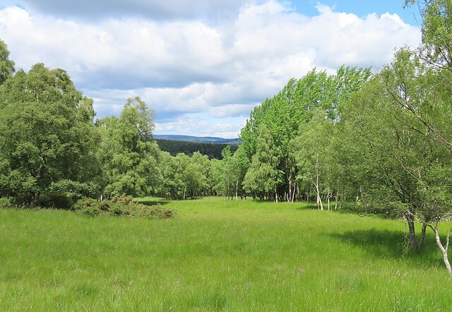
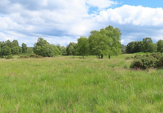
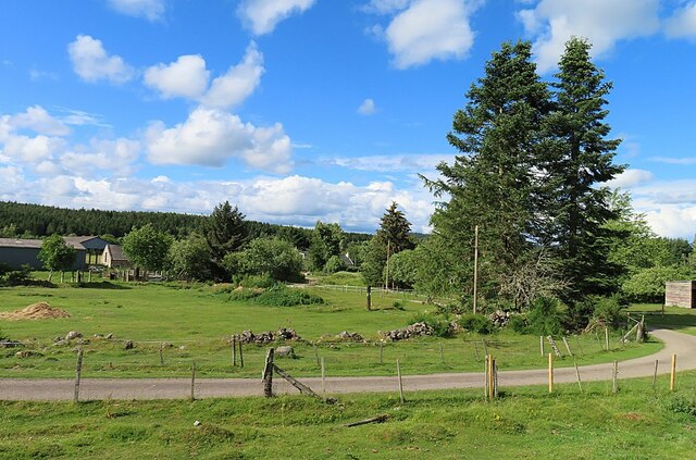
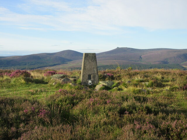
Corsedardar Hill offers breathtaking panoramic views of the surrounding countryside, making it a popular destination for hikers and nature enthusiasts. From its summit, visitors can enjoy vistas of lush green valleys, rolling hills, and distant mountains. On a clear day, it is even possible to catch a glimpse of the North Sea shimmering in the distance.
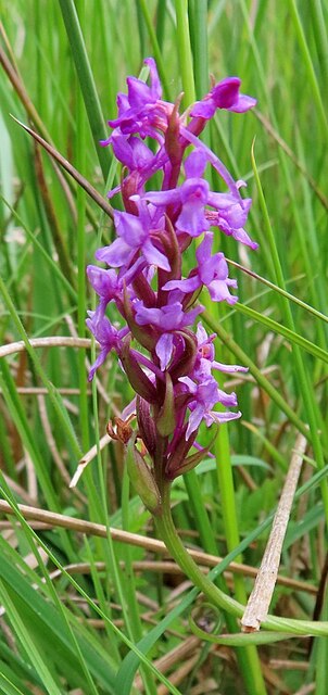
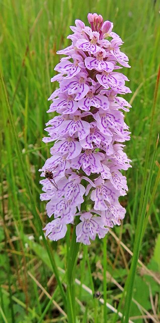
The hill is covered in dense heather and grass, providing a habitat for a variety of wildlife species. Birdwatchers can spot a range of avian species, including buzzards, kestrels, and peregrine falcons, soaring through the skies above. The area is also home to deer, rabbits, and other small mammals.
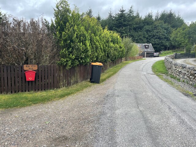
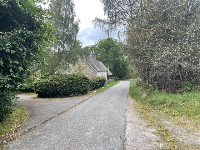
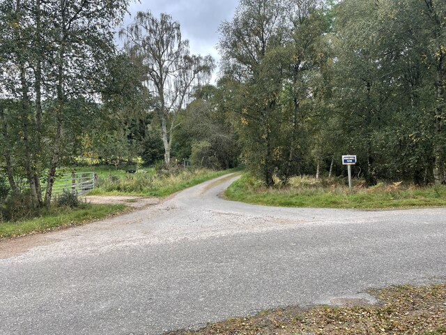
There are several walking trails that lead to the top of Corsedardar Hill, offering different levels of difficulty to cater to all abilities. The paths are well-maintained and signposted, ensuring a safe and enjoyable experience for visitors. Additionally, there are parking facilities available at the base of the hill, making it easily accessible by car.
Corsedardar Hill is a haven of natural beauty and tranquility, providing an opportunity to escape the hustle and bustle of everyday life and immerse oneself in the stunning Scottish countryside.
If you have any feedback on the listing, please let us know in the comments section below.
Corsedardar Hill Images
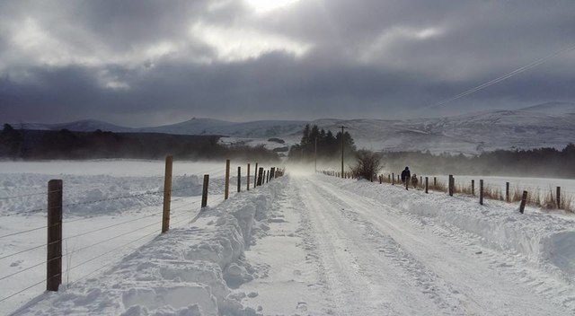
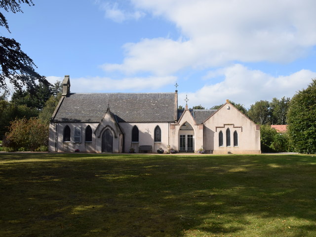
Images are sourced within 2km of 57.037371/-2.659138 or Grid Reference NO6094. Thanks to Geograph Open Source API. All images are credited.


Corsedardar Hill is located at Grid Ref: NO6094 (Lat: 57.037371, Lng: -2.659138)
Unitary Authority: Aberdeenshire
Police Authority: North East
What 3 Words
///grapevine.udder.under. Near Torphins, Aberdeenshire
Nearby Locations
Related Wikis

Corsedardar Hill
Corsedardar Hill is a mountain landform in the Grampian Mountains of Aberdeenshire, Scotland. This hill is located in the Lower Deeside region within the...

Mounth
The Mounth ( MUNTH) is the broad upland in northeast Scotland between the Highland Boundary and the River Dee, at the eastern end of the Grampians....

Finzean
Finzean (; Scottish Gaelic: Fìnnean) is a rural community, electoral polling district, community council area and former ecclesiastical parish, which forms...
Easter Clune Castle
Easter Clune Castle is a ruined 16th-century tower house, about 6 miles (9.7 km) south-west of Banchory, Aberdeenshire, Scotland, and south of the Water...
Have you been to Corsedardar Hill?
Leave your review of Corsedardar Hill below (or comments, questions and feedback).