Candle Hill
Hill, Mountain in Aberdeenshire
Scotland
Candle Hill

Candle Hill is a prominent hill located in Aberdeenshire, Scotland. Standing at an elevation of 623 meters (2,044 feet), it is a popular destination for hikers and outdoor enthusiasts seeking stunning panoramic views of the surrounding countryside. The hill is part of the larger Cairngorms National Park, known for its rugged landscapes and diverse wildlife.
Candle Hill is characterized by its distinctive shape, resembling a candle flame, hence its name. The hill is covered in heather and grasses, providing habitat for a variety of bird species such as red grouse and golden eagles.
Visitors to Candle Hill can access the summit via a well-marked trail that winds its way through the rolling hills and moorlands. From the top, on a clear day, one can see as far as the North Sea to the east and the Grampian Mountains to the west.
Overall, Candle Hill offers a rewarding hiking experience for those looking to immerse themselves in the natural beauty of Aberdeenshire's countryside.
If you have any feedback on the listing, please let us know in the comments section below.
Candle Hill Images
Images are sourced within 2km of 57.358383/-2.6681086 or Grid Reference NJ5929. Thanks to Geograph Open Source API. All images are credited.


Candle Hill is located at Grid Ref: NJ5929 (Lat: 57.358383, Lng: -2.6681086)
Unitary Authority: Aberdeenshire
Police Authority: North East
What 3 Words
///pupils.swooned.newsstand. Near Insch, Aberdeenshire
Nearby Locations
Related Wikis

Wardhouse Castle
Wardhouse Castle was a 13th-century tower house, about 2.5 miles (4.0 km) west of Insch, Aberdeenshire, Scotland. The castle was called Weredors, Wardes...

Wardhouse railway station
Wardhouse railway station served the area of Wardhouse, Aberdeenshire, Scotland from 1854 to 1961 on the Great North of Scotland Railway. == History... ==

Dunnideer Castle
Dunnideer Castle, now ruined, was a tower house located near Insch, Aberdeenshire, Scotland. It was built c. 1260 partially from the remains of an existing...
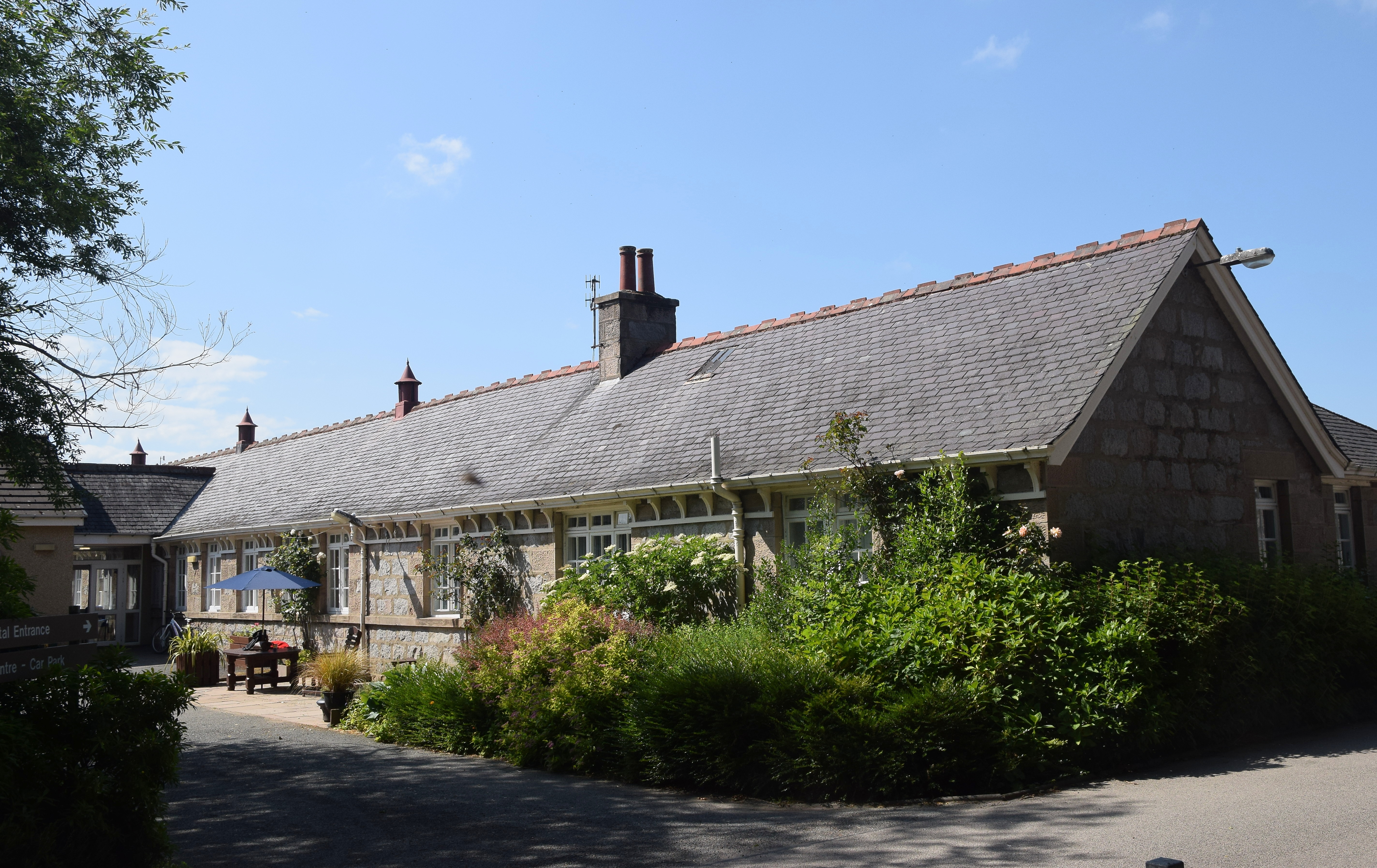
Insch War Memorial Hospital
Insch War Memorial Hospital is a small community hospital located at Insch, Aberdeenshire, Scotland. It is managed by NHS Grampian. == History == The hospital...
Nearby Amenities
Located within 500m of 57.358383,-2.6681086Have you been to Candle Hill?
Leave your review of Candle Hill below (or comments, questions and feedback).