Bellevue
Hill, Mountain in Somerset
England
Bellevue

Bellevue is a scenic hill located in Somerset, England. Situated in the beautiful countryside, it offers breathtaking views of the surrounding landscape. The hill is part of the larger region known as the Mendip Hills, renowned for its natural beauty and diverse wildlife.
Bellevue stands at an elevation of approximately 300 meters (984 feet), making it a prominent landmark in the area. Its slopes are covered in lush greenery, including a variety of trees and plants that add to its tranquil atmosphere. The hill is known for its rich biodiversity, with numerous species of birds, mammals, and insects calling it home.
The summit of Bellevue provides an excellent vantage point to admire the sprawling Somerset countryside. On a clear day, visitors can see for miles, taking in the patchwork of fields, meandering rivers, and charming villages that dot the landscape. As the sun sets, the hill offers a stunning backdrop for capturing memorable photographs.
For outdoor enthusiasts, Bellevue offers several walking trails and hiking routes. These pathways wind through the hill's wooded areas and open meadows, allowing visitors to explore its natural wonders at their own pace. The hill is also a popular spot for picnics, with designated areas providing the perfect setting for a relaxing outdoor meal.
Bellevue is easily accessible, with nearby parking facilities and public transportation options available. Whether you are a nature lover seeking tranquility or an adventurer looking for a thrilling hike, Bellevue in Somerset promises an unforgettable experience in the heart of England's countryside.
If you have any feedback on the listing, please let us know in the comments section below.
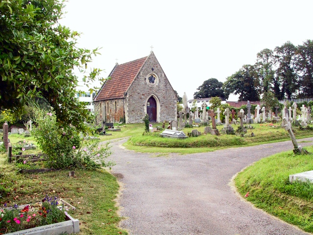
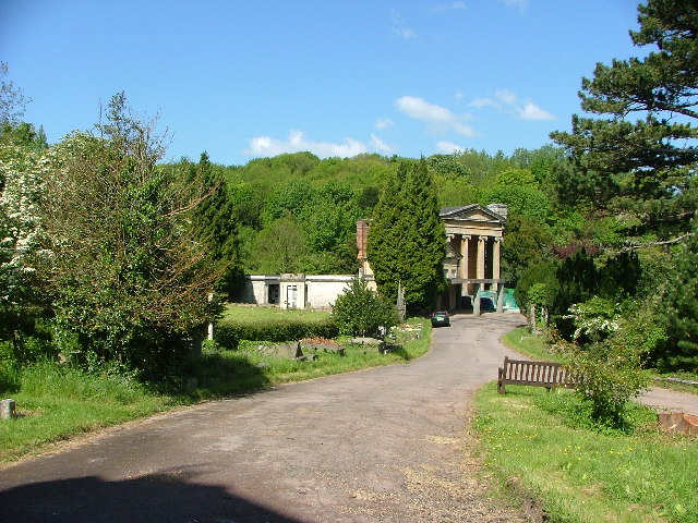
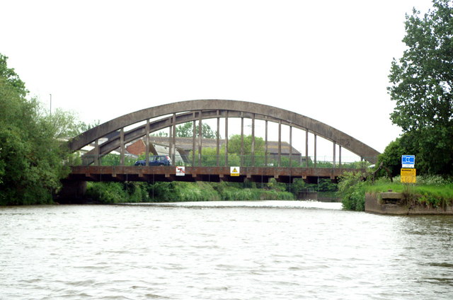
Bellevue Images
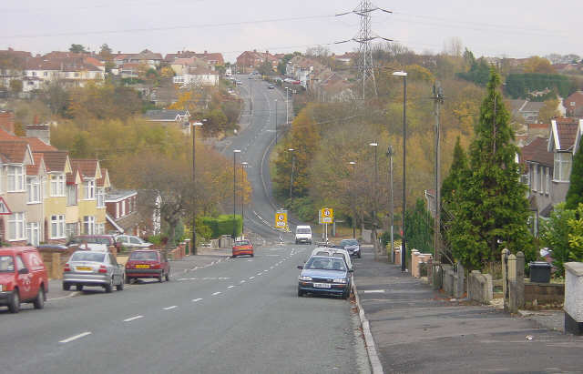
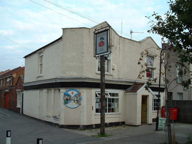
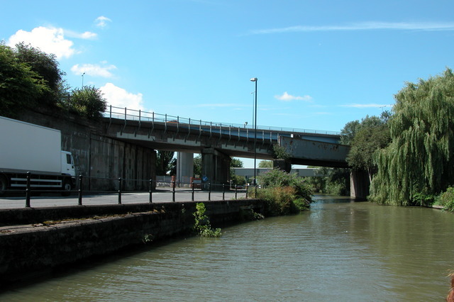
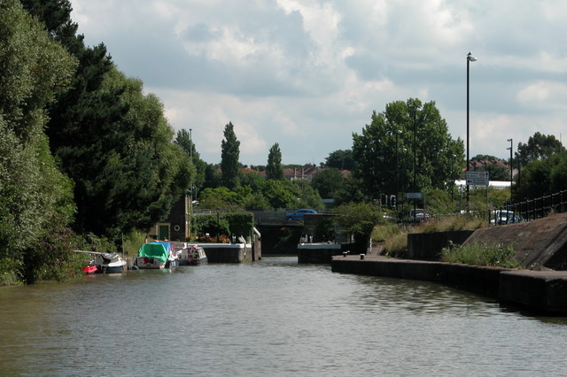
Images are sourced within 2km of 51.444841/-2.5801526 or Grid Reference ST5971. Thanks to Geograph Open Source API. All images are credited.


Bellevue is located at Grid Ref: ST5971 (Lat: 51.444841, Lng: -2.5801526)
Unitary Authority: Bristol
Police Authority: Avon and Somerset
What 3 Words
///teeth.tools.ruby. Near Bristol
Nearby Locations
Related Wikis
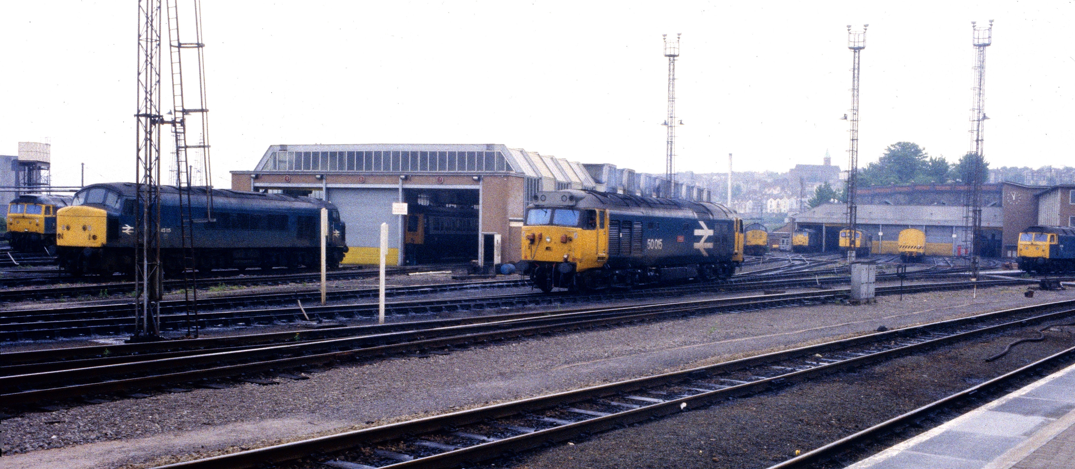
Bristol Bath Road depot
Bristol Bath Road depot was a railway traction maintenance depot in central Bristol, England, which was in use from 1852 until 1995. == History == The...

Bristol Temple Quarter Enterprise Zone
Bristol Temple Quarter Enterprise Zone is an enterprise zone in Bristol, England, focused on creative, high-tech and low-carbon industries. Covering an...

St Philip's Footbridge
St Philip's Footbridge is a footbridge in Bristol, UK that crosses the River Avon. It is currently only accessible from the east as the western entrance...
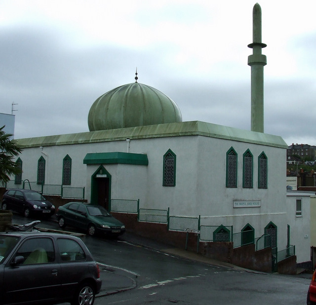
Bristol Jamia Mosque
The Bristol Jamia Mosque is a mosque in the Totterdown area of Bristol. It was the first mosque in Bristol and is currently the largest in the south west...
Nearby Amenities
Located within 500m of 51.444841,-2.5801526Have you been to Bellevue?
Leave your review of Bellevue below (or comments, questions and feedback).