Merry Hill

Hill, Mountain in Dorset

England

Merry Hill

Trig point at Merry Hill near Portesham
Trig point at Merry Hill near Portesham Credit: Colin Park

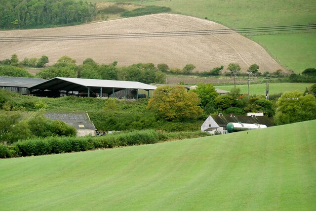
Merry Hill, located in Dorset, England, is a prominent natural hill that boasts breathtaking views and a rich historical significance. Rising to an elevation of approximately 244 meters (800 feet), it stands as one of the highest points in the region. Situated in the heart of the Dorset Downs, this hill is a popular destination for hikers, nature enthusiasts, and history buffs alike.

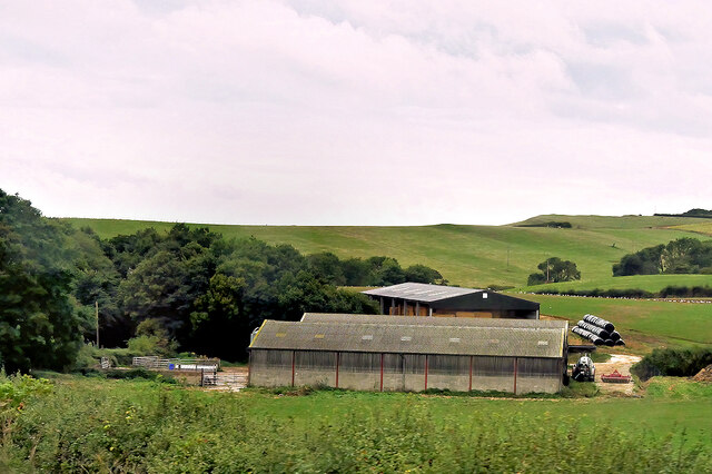
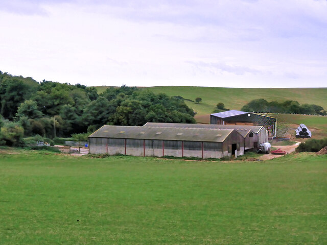
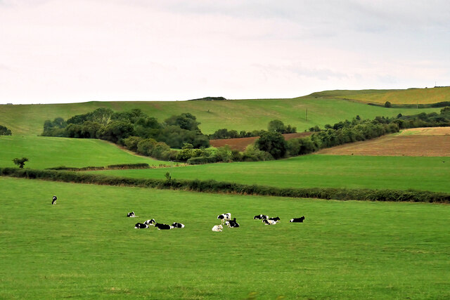
The landscape of Merry Hill is characterized by rolling green hills, interspersed with patches of woodland and vibrant wildflowers. The summit offers panoramic views of the surrounding countryside, including the picturesque valleys and villages nestled below. On clear days, visitors can even catch a glimpse of the English Channel in the distance.

Aside from its natural beauty, Merry Hill holds historical importance. It is believed to have been inhabited since prehistoric times, with evidence of Iron Age and Roman settlements in the area. Additionally, the hill served as a strategic point during the English Civil War, with remnants of fortifications still visible today.

Access to Merry Hill is facilitated by well-maintained footpaths and trails, making it easily accessible for walkers of all abilities. The hill is also a part of the South Dorset Ridgeway, a long-distance footpath that traverses the region.

Whether it's for a leisurely stroll or a challenging hike, Merry Hill offers a serene escape into nature, providing visitors with a blend of natural beauty and historical significance that captures the essence of Dorset's charm.

If you have any feedback on the listing, please let us know in the comments section below.
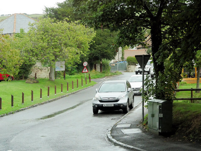
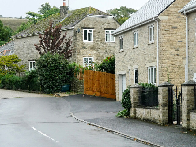
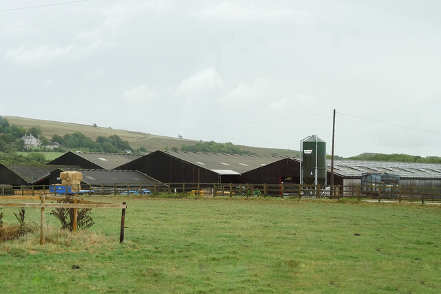
Merry Hill Images

Images are sourced within 2km of 50.65727/-2.5714944 or Grid Reference SY5984. Thanks to Geograph Open Source API. All images are credited.

Trig point at Merry Hill near Portesham
Inland section of coast path, south of Merry Hill near West Elworth
Evershot Farm, Portesham
Inland section of coast path, north of Wyke Wood, Rodden
Path junction N of Wyke Wood, Rodden
Farm Buildings near Rodden
Farm near Rodden
Farm near Rodden
Cattle Grazing near Rodden
Portesham, Front Street Portesham (aka Portisham) is a village in the county of Dorset, approximately 6 miles (10 km) northwest of Weymouth, 6 miles (10 km) southwest of the county town Dorchester, and 2 miles (3 km) northeast of the Jurassic Coast World Heritage Site at Chesil Beach. 
<span class="nowrap"><a title="https://www.portesham.org.uk/" rel="nofollow ugc noopener" href="https://www.portesham.org.uk/">Link</a><img style="margin-left:2px;" alt="External link" title="External link - shift click to open in new window" src="https://s1.geograph.org.uk/img/external.png" width="10" height="10"/></span> Village website (Living Portesham).
Portesham, Front Street
Portesham (aka Portisham) is a village in the county of Dorset, approximately 6 miles (10 km) northwest of Weymouth, 6 miles (10 km) southwest of the county town Dorchester, and 2 miles (3 km) northeast of the Jurassic Coast World Heritage Site at Chesil Beach. LinkExternal link Village website (Living Portesham).
Bramdon Close, Portesham Portesham (aka Portisham) is a village in the county of Dorset, approximately 6 miles (10 km) northwest of Weymouth, 6 miles (10 km) southwest of the county town Dorchester, and 2 miles (3 km) northeast of the Jurassic Coast World Heritage Site at Chesil Beach. 
<span class="nowrap"><a title="https://www.portesham.org.uk/" rel="nofollow ugc noopener" href="https://www.portesham.org.uk/">Link</a><img style="margin-left:2px;" alt="External link" title="External link - shift click to open in new window" src="https://s1.geograph.org.uk/img/external.png" width="10" height="10"/></span> Village website (Living Portesham).
Bramdon Close, Portesham
Portesham (aka Portisham) is a village in the county of Dorset, approximately 6 miles (10 km) northwest of Weymouth, 6 miles (10 km) southwest of the county town Dorchester, and 2 miles (3 km) northeast of the Jurassic Coast World Heritage Site at Chesil Beach. LinkExternal link Village website (Living Portesham).
Clover Farm
Clover Farm
View of Abbotsbury from the Bishop's Road on Abbotsbury Plains The village of Abbotsbury nestles below St Catherine's Chapel, with the sea beyond. The lynchets on Chapel Hill are clearly visible in the low winter sunlight.
View of Abbotsbury from the Bishop's Road on Abbotsbury Plains
The village of Abbotsbury nestles below St Catherine's Chapel, with the sea beyond. The lynchets on Chapel Hill are clearly visible in the low winter sunlight.
Old pit Old sandstone quarry beside South West Coast Path, with St Catherine's Chapel in the background
Old pit
Old sandstone quarry beside South West Coast Path, with St Catherine's Chapel in the background
Clayhanger Farm Clayhanger Farm seen from the South West Coast Path
Clayhanger Farm
Clayhanger Farm seen from the South West Coast Path
Green Lane, West Elworth Green Lane looking north towards Portesham Hill
Green Lane, West Elworth
Green Lane looking north towards Portesham Hill
Disused railway near Portesham Trackbed of line between Upwey and Abbotsbury, closed 1952, with gangers hut and St Catherine's Chapel in distance.
Disused railway near Portesham
Trackbed of line between Upwey and Abbotsbury, closed 1952, with gangers hut and St Catherine's Chapel in distance.
Abbotsbury goods shed Abandoned by the railway in 1952, the goods shed still has its loading gauge hanging above the doorway.
Abbotsbury goods shed
Abandoned by the railway in 1952, the goods shed still has its loading gauge hanging above the doorway.
Remains of platform, Abbotsbury station All that remains of Abbotsbury station, abandoned 1952, is the platform, of which the edging can be seen through vegetation.
Remains of platform, Abbotsbury station
All that remains of Abbotsbury station, abandoned 1952, is the platform, of which the edging can be seen through vegetation.
Show me another place!

Merry Hill is located at Grid Ref: SY5984 (Lat: 50.65727, Lng: -2.5714944)

Unitary Authority: Dorset

Police Authority: Dorset

What 3 Words

///challenge.eagle.notion. Near Chickerell, Dorset

Related Wikis

Portesham railway station

Portesham was a small railway station serving the village of Portesham in the west of the English county of Dorset. == Location == The station was sited...

Portesham

Portesham, sometimes also spelled Portisham, is a village and civil parish in the county of Dorset in southwest England, situated in the Dorset Council...

St Peter's Church, Portesham

St Peter's Church is an Anglican church, the parish church in the village of Portesham, Dorset. It is a Grade I listed building. The earliest parts date...

Abbotsbury railway station

Abbotsbury was the terminus of the Abbotsbury branch railway in the west of the English county of Dorset. Serving the village of Abbotsbury, it was sited...

Nearby Amenities

Located within 500m of 50.65727,-2.5714944
Barrier: stile
Lat/Long: 50.6560146/-2.572072
Barrier: stile
Lat/Long: 50.6572917/-2.5738088
Barrier: stile
Lat/Long: 50.6573245/-2.5767689
Barrier: stile
Lat/Long: 50.657121/-2.5725293
Barrier: stile
Lat/Long: 50.6571651/-2.5726879
West Elworth Farm
Place: farm
Lat/Long: 50.6613092/-2.5694082
West Elworth
Place: hamlet
Lat/Long: 50.660772/-2.569317
The data included in this document is from www.openstreetmap.org. The data is made available under ODbL.

Have you been to Merry Hill?

Leave your review of Merry Hill below (or comments, questions and feedback).