Brockie Law

Hill, Mountain in Roxburghshire

Scotland

Brockie Law

Forestry road, Wigg Plantation
Forestry road, Wigg Plantation Credit: Steven Brown

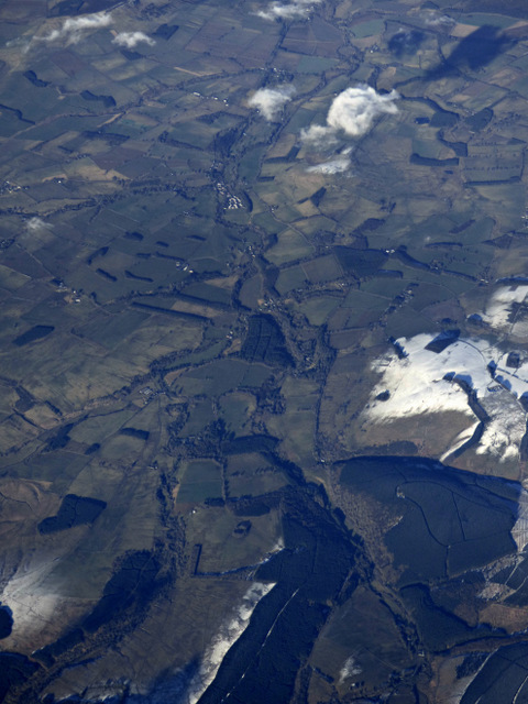
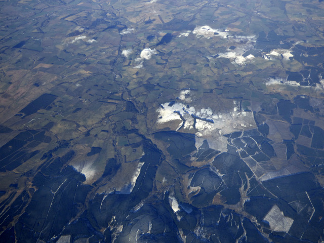
Brockie Law is a prominent hill located in Roxburghshire, a historic county in the southern part of Scotland. This hill, also referred to as a mountain by some, stands at an elevation of approximately 525 meters (1,722 feet) above sea level. It is situated in the heart of the Scottish Borders region, surrounded by picturesque landscapes and stunning natural beauty.

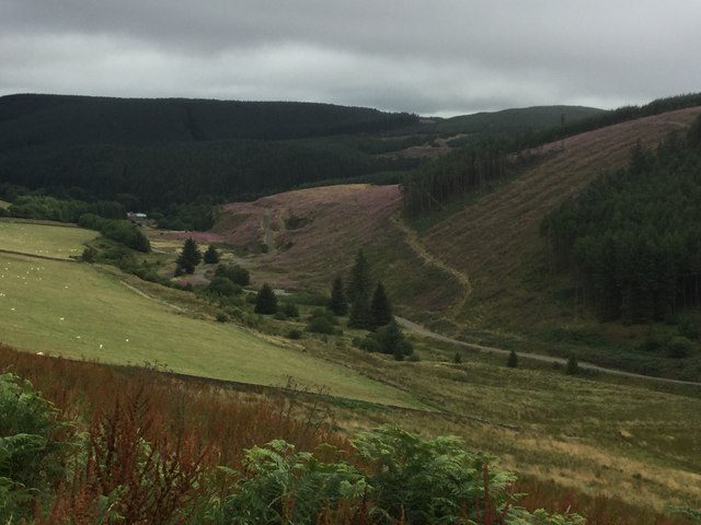
Brockie Law is known for its distinct conical shape, which adds to its visual appeal. The hill is primarily composed of sedimentary rocks, including sandstone and shale, which have been formed over millions of years. These geological features contribute to the unique character of the area.

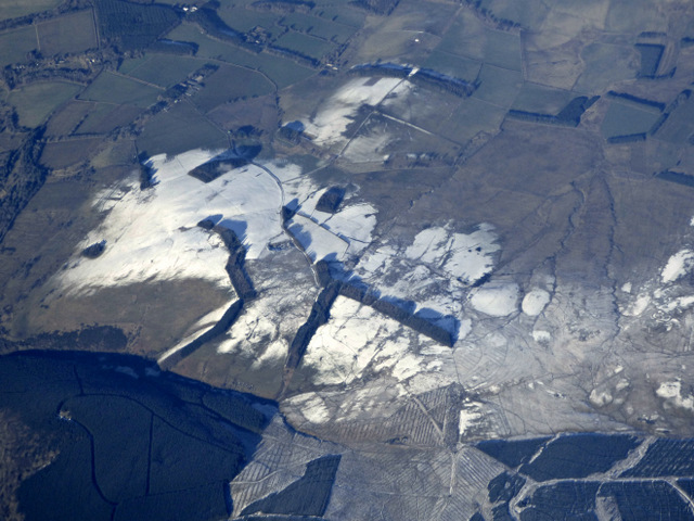
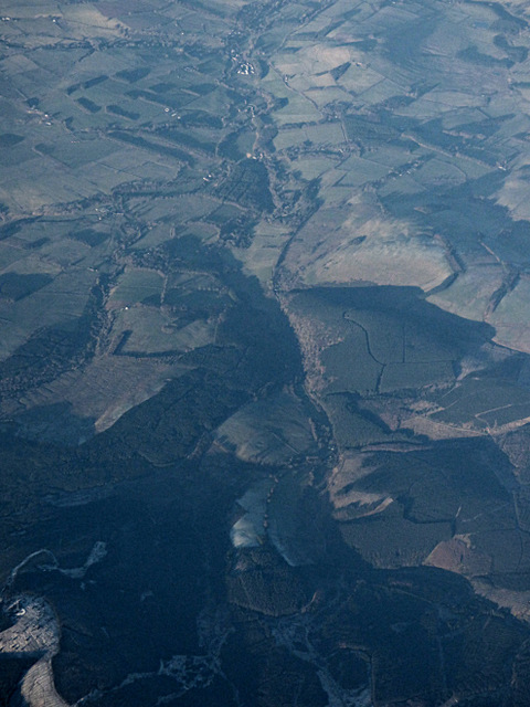
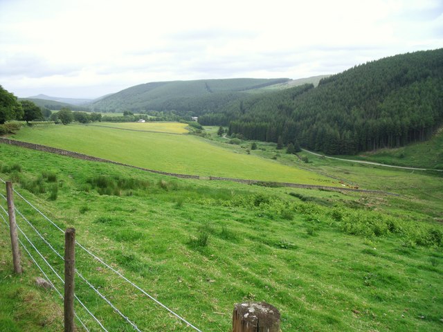
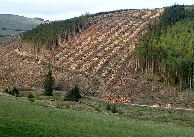
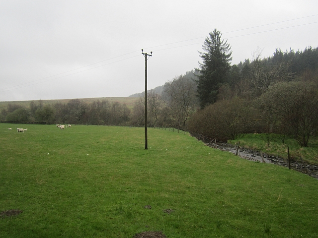
The summit of Brockie Law offers breathtaking panoramic views of the surrounding countryside, with rolling hills, lush green valleys, and meandering rivers visible from this vantage point. On clear days, it is even possible to catch a glimpse of the distant Cheviot Hills, located across the Scottish-English border.

The hill is a popular destination for outdoor enthusiasts and nature lovers alike. It provides opportunities for hiking, walking, and nature exploration. Several well-marked trails and paths lead to the summit, making it accessible to visitors of varying fitness levels.

Overall, Brockie Law in Roxburghshire is a captivating natural landmark, offering not only a chance to immerse oneself in the beauty of the Scottish Borders but also a chance to appreciate the rich geological history of the area.

If you have any feedback on the listing, please let us know in the comments section below.
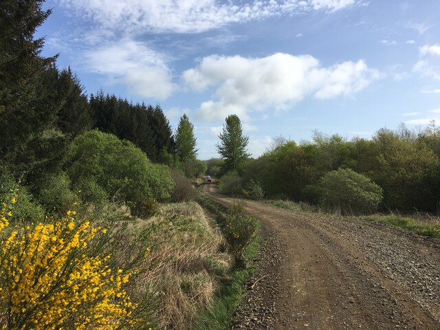
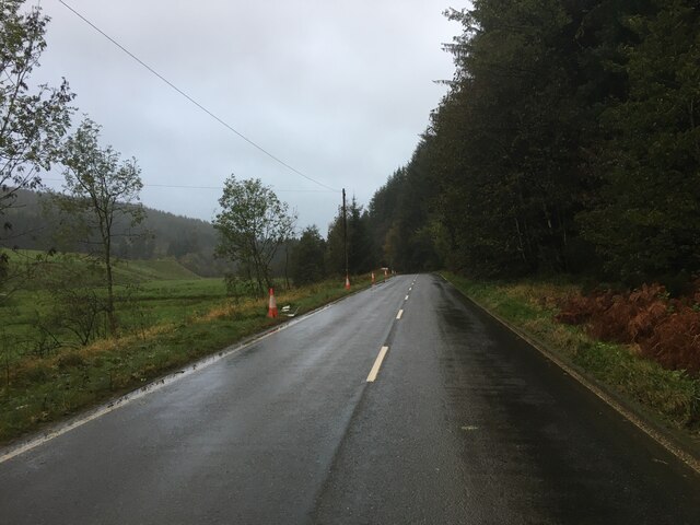
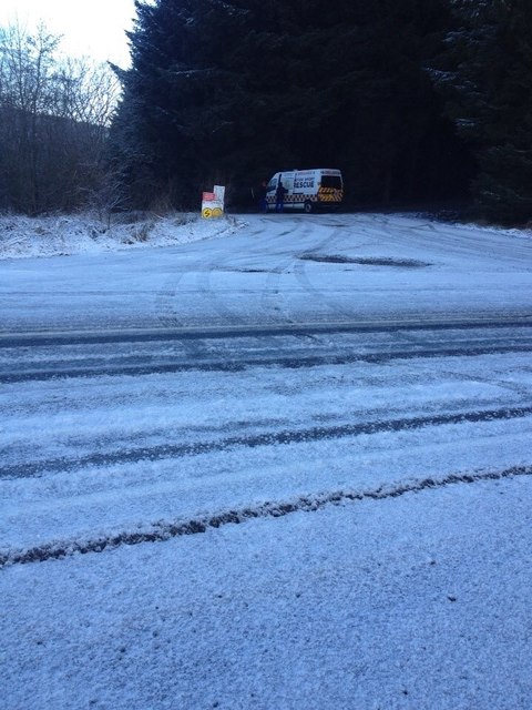
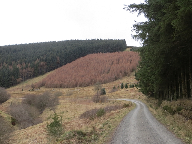
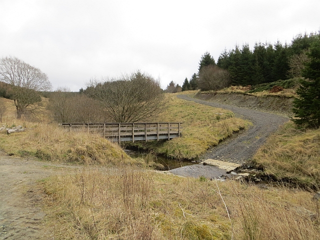
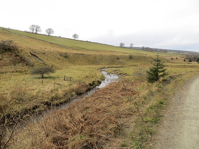
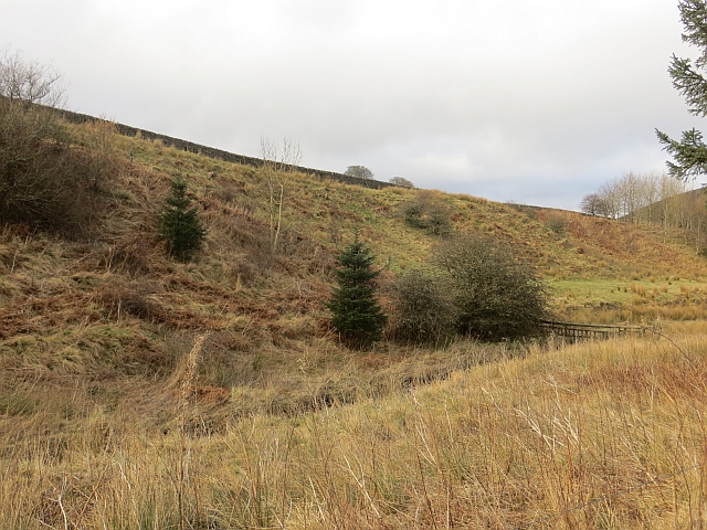
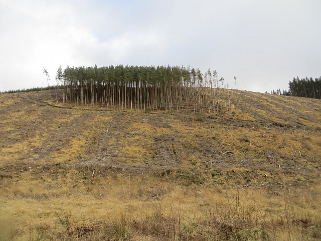
Brockie Law Images

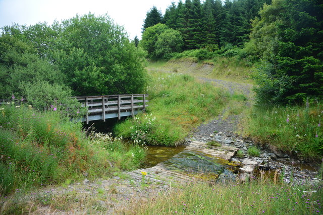
Images are sourced within 2km of 55.341529/-2.6376494 or Grid Reference NT5905. Thanks to Geograph Open Source API. All images are credited.

Forestry road, Wigg Plantation
B6357 near Hyndlee
B6357 near Hyndlee
Wolfelee Hill from the air The distinctive strip woods make this hill easy to identify from the air.
Wolfelee Hill from the air
The distinctive strip woods make this hill easy to identify from the air.
Hyndlee Glen from the air Looking north along the B6357 towards Bonchester Bridge.
Hyndlee Glen from the air
Looking north along the B6357 towards Bonchester Bridge.
Wolfelee from the air Bonchester Bridge can be seen in the distance, Wolfelee Hill is in the right foreground.
Wolfelee from the air
Bonchester Bridge can be seen in the distance, Wolfelee Hill is in the right foreground.
Wauchope Forest from the air Wolfelee Hill can be seen near the centre of the photo.
Wauchope Forest from the air
Wolfelee Hill can be seen near the centre of the photo.
Hyndlee Burn Ford This ford on The Hyndlee Burn is found on the Forestry Commission track. The exact location of the ford suggests that the OS map is incorrect. A 2014 image of the ford can be seen at::
<a title="https://www.geograph.org.uk/photo/3899124" href="https://www.geograph.org.uk/photo/3899124">Link</a>
Hyndlee Burn Ford
This ford on The Hyndlee Burn is found on the Forestry Commission track. The exact location of the ford suggests that the OS map is incorrect. A 2014 image of the ford can be seen at:: Link
Hyndlee Glen Field in a predominately forested area.
Hyndlee Glen
Field in a predominately forested area.
Hyndlee Glen
Hyndlee Glen
Timber harvesting on Brockie Law This was viewed from the B6357.
Timber harvesting on Brockie Law
This was viewed from the B6357.
Hyndlee Burn A field beside the Hyndlee Burn. Cheap point hunters will have to stop and get out here, the road stays stubbonly east of the grid line.  
The area is mostly forested.
Hyndlee Burn
A field beside the Hyndlee Burn. Cheap point hunters will have to stop and get out here, the road stays stubbonly east of the grid line. The area is mostly forested.
Cragbank Woods National Nature Reserve Tail end of a steep slope clad in ancient deciduous woodland. There is an encroachment by the usual "weeds" above, but the wood is somewhat thicker further north.
Cragbank Woods National Nature Reserve
Tail end of a steep slope clad in ancient deciduous woodland. There is an encroachment by the usual "weeds" above, but the wood is somewhat thicker further north.
Snow covered B6357 and forest entrance This was the entrance to Stage 1 of the 2014 Border Counties Rally.
Snow covered B6357 and forest entrance
This was the entrance to Stage 1 of the 2014 Border Counties Rally.
Logging road, Wauchope Forest Beside the Hyndlee Burn.
Logging road, Wauchope Forest
Beside the Hyndlee Burn.
Hyndlee Burn Ford and footbridge on the Hyndlee Burn.
Hyndlee Burn
Ford and footbridge on the Hyndlee Burn.
Hyndlee Burn Edge of Wauchope Forest.
Hyndlee Burn
Edge of Wauchope Forest.
Hyndlee Burn
Hyndlee Burn
Clump of trees, Brockie Law Leftovers from the clear fell on this slope. <a href="https://www.geograph.org.uk/photo/2948084">NT5905 : Timber harvesting on Brockie Law</a>
Clump of trees, Brockie Law
Leftovers from the clear fell on this slope. NT5905 : Timber harvesting on Brockie Law
Show me another place!

Brockie Law is located at Grid Ref: NT5905 (Lat: 55.341529, Lng: -2.6376494)

Unitary Authority: The Scottish Borders

Police Authority: The Lothians and Scottish Borders

What 3 Words

///desk.carefully.against. Near Hawick, Scottish Borders

Nearby Locations

Brockie Law Gibb's Cleuch

Related Wikis

Nearby Amenities

Located within 500m of 55.341529,-2.6376494
Brockie Law
Natural: peak
Lat/Long: 55.3415504/-2.6373607
The data included in this document is from www.openstreetmap.org. The data is made available under ODbL.

Have you been to Brockie Law?

Leave your review of Brockie Law below (or comments, questions and feedback).