Bonchester Hill
Hill, Mountain in Roxburghshire
Scotland
Bonchester Hill
Bonchester Hill is a prominent hill located in the county of Roxburghshire, in the Scottish Borders region of Scotland. It is situated approximately 5 miles south of the town of Hawick and stands at a height of 315 meters (1,033 feet) above sea level.
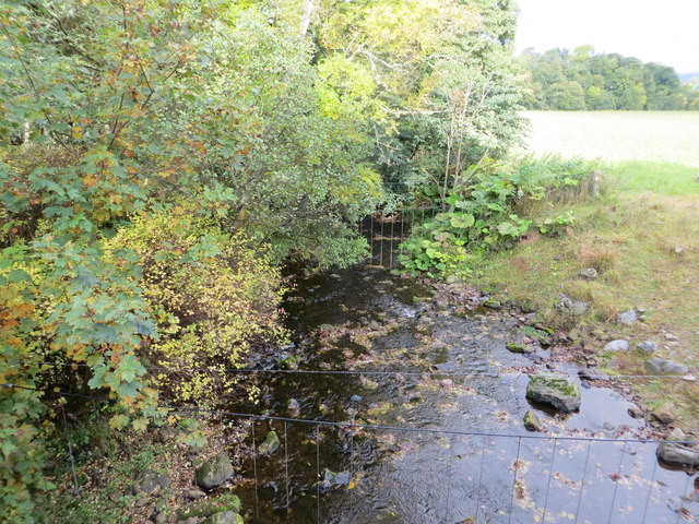
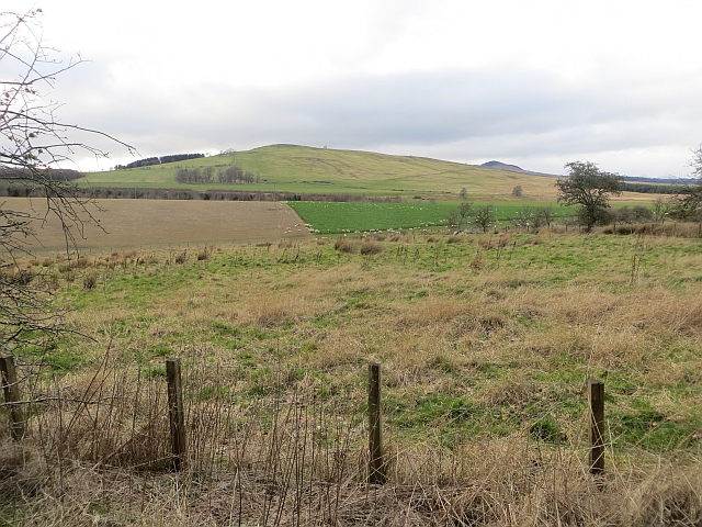
The hill is part of a range known as the Minto Hills, which are characterized by rolling grasslands and scattered patches of woodland. Bonchester Hill, in particular, offers breathtaking panoramic views of the surrounding countryside, including the Teviot Valley and the Cheviot Hills to the south.
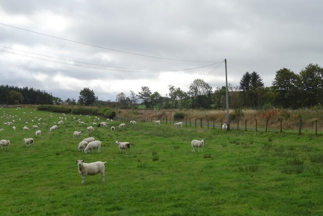
The terrain of Bonchester Hill is primarily composed of heather moorland, interspersed with areas of rough grass and bracken. The hill is a haven for wildlife, supporting a diverse range of species such as red grouse, curlews, skylarks, and various species of butterflies and moths.
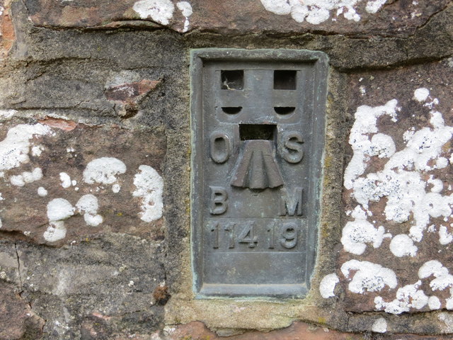
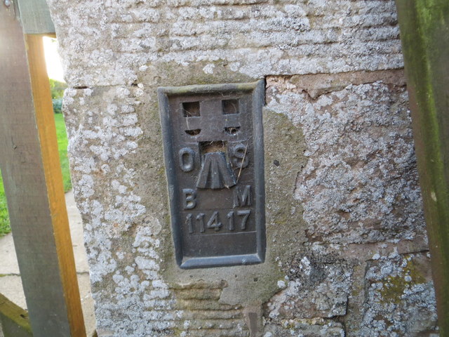
At the summit of Bonchester Hill, there is a trig point, which is a concrete pillar used in geodetic surveys. This serves as a popular landmark for hikers and walkers, who often ascend the hill to enjoy the stunning vistas and peaceful surroundings.
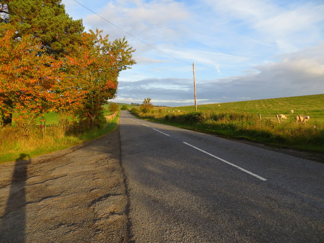
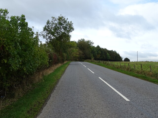
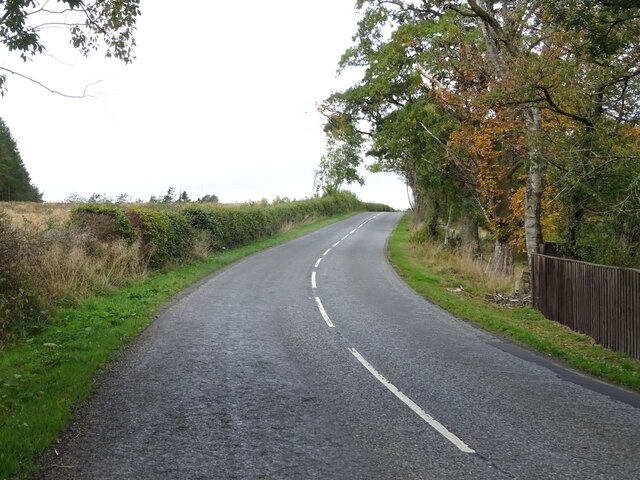
Access to Bonchester Hill is relatively straightforward, with several footpaths leading to the summit from nearby roads. The hill is a popular destination for outdoor enthusiasts, offering opportunities for walking, birdwatching, and photography.
Overall, Bonchester Hill is a picturesque and accessible hill in Roxburghshire, offering stunning views and a tranquil atmosphere for visitors to enjoy.
If you have any feedback on the listing, please let us know in the comments section below.
Bonchester Hill Images
Images are sourced within 2km of 55.398164/-2.6414979 or Grid Reference NT5911. Thanks to Geograph Open Source API. All images are credited.


Bonchester Hill is located at Grid Ref: NT5911 (Lat: 55.398164, Lng: -2.6414979)
Unitary Authority: The Scottish Borders
Police Authority: The Lothians and Scottish Borders
What 3 Words
///inversely.remainder.qualifier. Near Hawick, Scottish Borders
Nearby Locations
Related Wikis

Bonchester Bridge
Bonchester Bridge (Scots Binster Brig) is a village in Roxburghshire, within the Scottish Borders area of Scotland, lying on the Rule Water, six miles...

Hobkirk
Hobkirk (Scottish Gaelic: Eaglais Ruail) is a village and civil parish in the Scottish Borders area of Scotland, by the Rule Water, south-west of Jedburgh...

Abbotrule
Abbotrule is a hamlet south of the B6357 road, in the Scottish Borders area of Scotland, on Rule Burn, east of the Rule Water. Places nearby include Bedrule...

Hallrule
Hallrule is a hamlet on the B6357 road, in the Scottish Borders area of Scotland, on the Rule Water, near Abbotrule, Bedrule Bonchester Bridge, Denholm...

Wauchope, Scottish Borders
Wauchope is a hamlet in the Scottish Borders council area of Scotland, near Southdean. Wauchope House was demolished in 1932. == See also == Wauchope Forest...

Rubers Law
Rubers Law is a prominent, conical hill in the Scottish Borders area of south-east Scotland. It stands on the south bank of the River Teviot, between the...
Fulton Tower
Fulton Tower is a ruined 16th century tower house, about 4.5 miles (7.2 km) south west of Jedburgh, Scottish Borders, Scotland, and about 2 miles (3.2...

Southdean
Southdean is a hamlet in the Scottish Borders area of Scotland, on the A6088, by the Jed Water and in the Wauchope Forest area. Other settlements nearby...
Nearby Amenities
Located within 500m of 55.398164,-2.6414979Have you been to Bonchester Hill?
Leave your review of Bonchester Hill below (or comments, questions and feedback).