Bin Hill

Hill, Mountain in Aberdeenshire

Scotland

Bin Hill

Halls of Duncanstone What appears to be an old barn at Halls of Duncanstone.
Halls of Duncanstone Credit: Andrew Wood

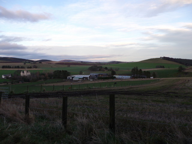
Bin Hill is a prominent hill located in Aberdeenshire, Scotland. Standing at an elevation of approximately 494 meters (1621 feet), it is part of the Grampian Mountains range. Situated near the village of Tarland, Bin Hill offers breathtaking panoramic views of the surrounding countryside, making it a popular destination for hikers and nature enthusiasts alike.

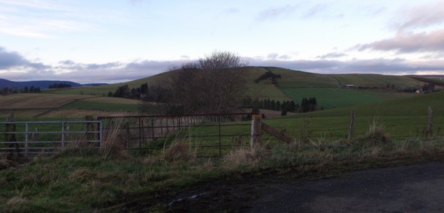
The hill is characterized by its gently sloping upper slopes, covered in heather and grass, and its steeper eastern face, which features imposing cliffs and crags. The summit of Bin Hill provides an excellent vantage point, offering unobstructed vistas of the surrounding landscapes, including the rolling hills of Aberdeenshire, the distant Cairngorms National Park, and on clear days, even the North Sea.

Accessing Bin Hill is relatively straightforward, with several well-defined paths leading to the summit. The most popular route begins from the nearby village of Tarland, where a trail leads through a mixture of farmland, forested areas, and open moorland before reaching the hill's summit. The hike usually takes around three to four hours, depending on one's pace and fitness level.

Bin Hill's location within Aberdeenshire makes it an ideal destination for outdoor activities. In addition to hiking, the hill is also a favorite spot for birdwatching, with a variety of species, including golden eagles and peregrine falcons, frequently spotted in the area. The surrounding region offers opportunities for other recreational pursuits as well, such as fishing in the nearby rivers and lochs, or exploring the charming villages and historical sites that dot the landscape.

If you have any feedback on the listing, please let us know in the comments section below.
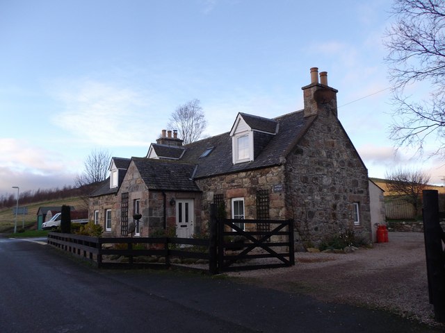
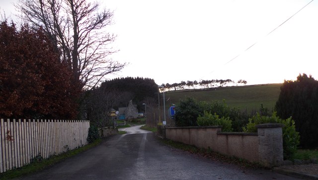
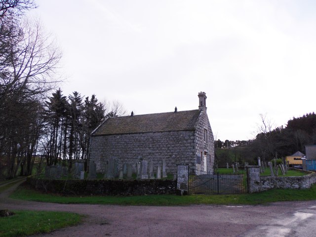
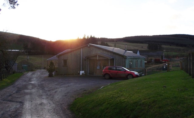
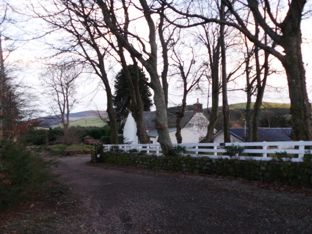
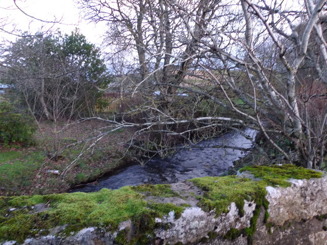
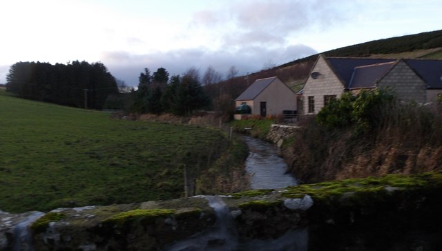
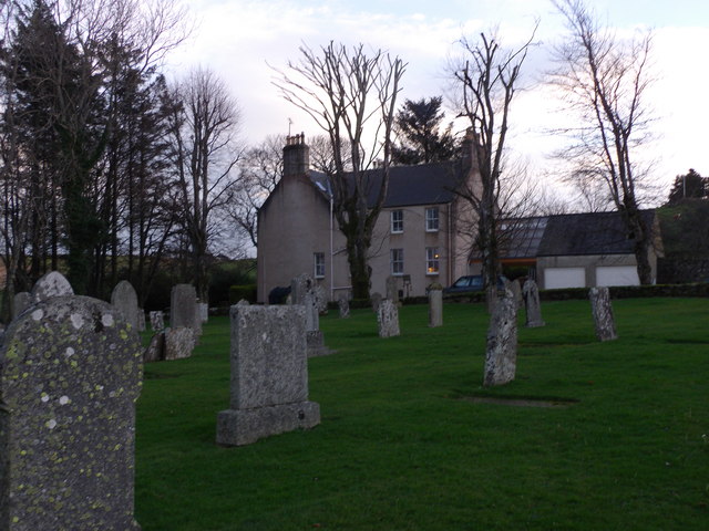
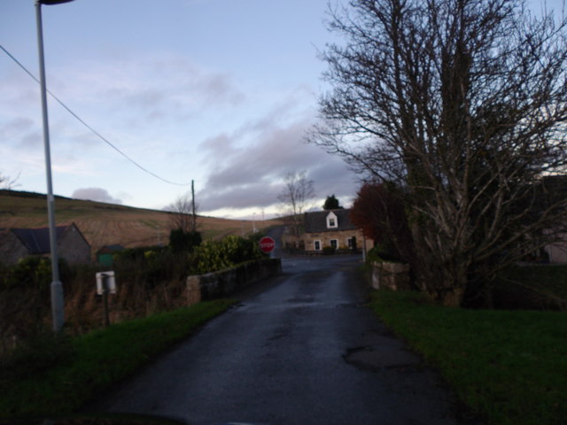
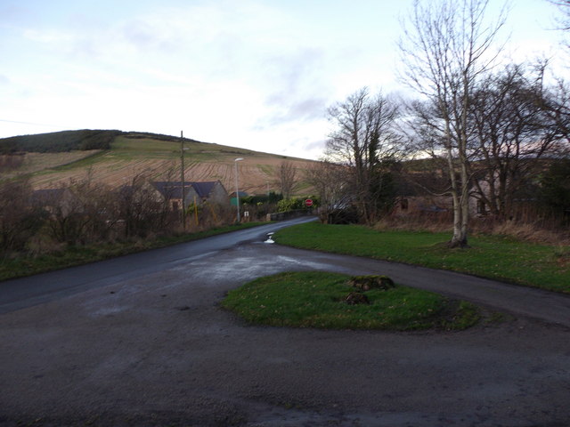
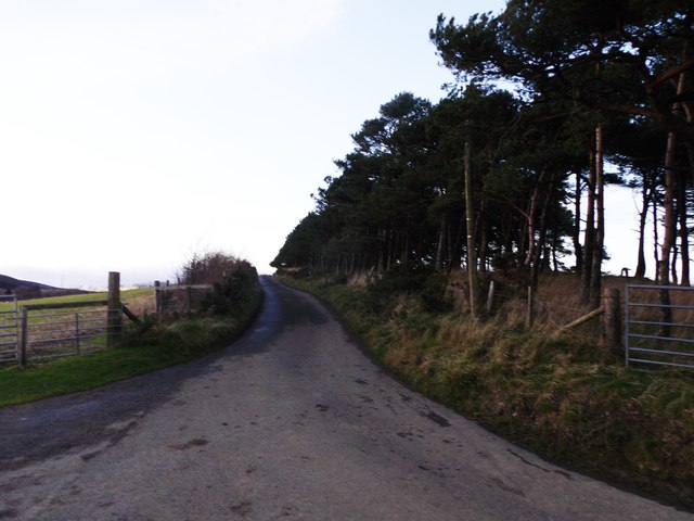
Bin Hill Images

Images are sourced within 2km of 57.315789/-2.6758525 or Grid Reference NJ5925. Thanks to Geograph Open Source API. All images are credited.

Halls of Duncanstone What appears to be an old barn at Halls of Duncanstone.
Halls of Duncanstone
What appears to be an old barn at Halls of Duncanstone.
Looking Down on Leslie A view over a wheat field to Old Leslie.
Looking Down on Leslie
A view over a wheat field to Old Leslie.
Cottages in Leslie By Kennethmont junction on the road from Premnay.
Cottages in Leslie
By Kennethmont junction on the road from Premnay.
Bridge of Leslie Over the Gadie Burn, towards Bogs of Leslie.
Bridge of Leslie
Over the Gadie Burn, towards Bogs of Leslie.
Leslie kirk From road to Bogs of Leslie.
Leslie kirk
From road to Bogs of Leslie.
Old waterwheel On mill lade at Mill of Leslie, by minor road to Clatt.
Old waterwheel
On mill lade at Mill of Leslie, by minor road to Clatt.
Country Frames Gallery, Little Chapelton Off the road from Leslie to Bogs.
Country Frames Gallery, Little Chapelton
Off the road from Leslie to Bogs.
Saul Farm, Bogs of Leslie At end of public road from Leslie.
Saul Farm, Bogs of Leslie
At end of public road from Leslie.
Hill of Johnston From the minor road near Bridge of Johnston.
Hill of Johnston
From the minor road near Bridge of Johnston.
Mill of Leslie By minor road to Clatt.
Mill of Leslie
By minor road to Clatt.
Downstream Gadie Burn From the Bridge of Leslie.
Downstream Gadie Burn
From the Bridge of Leslie.
Upstream Gadie Burn From the Bridge of Leslie.
Upstream Gadie Burn
From the Bridge of Leslie.
Gadie House, Leslie The Old Manse as seen from Leslie kirkyard. See <span class="nowrap"><a title="http://canmoremapping.rcahms.gov.uk/index.php?action=do_details&numlink=148036&cache_name=aWRudW1saW5rLDE0ODAzNl9zZWFyY2h0eXBlLGFkdmFuY2VkX29yYQ==&set=0&list_z=0" rel="nofollow ugc noopener" href="http://canmoremapping.rcahms.gov.uk/index.php?action=do_details&numlink=148036&cache_name=aWRudW1saW5rLDE0ODAzNl9zZWFyY2h0eXBlLGFkdmFuY2VkX29yYQ==&set=0&list_z=0">Link</a><img style="margin-left:2px;" alt="External link" title="External link - shift click to open in new window" src="https://s1.geograph.org.uk/img/external.png" width="10" height="10"/></span>
Gadie House, Leslie
The Old Manse as seen from Leslie kirkyard. See LinkExternal link
Approach to Leslie crossroads From the kirk, and across the Gadie burn via the Bridge of Leslie.
Approach to Leslie crossroads
From the kirk, and across the Gadie burn via the Bridge of Leslie.
Bridge of Leslie Viewed from the gateway into the kirkyard. Driveway to the Old Manse (Gadie House) leading off right.
Bridge of Leslie
Viewed from the gateway into the kirkyard. Driveway to the Old Manse (Gadie House) leading off right.
Road to Bogs of Leslie From the Chapelton junction.
Road to Bogs of Leslie
From the Chapelton junction.
Dogleg bend in road from Saul Farm Towards Leslie. Hill of New Leslie on skyline.
Dogleg bend in road from Saul Farm
Towards Leslie. Hill of New Leslie on skyline.
View across fields to Mains of Leslie Seen from the minor road from Chapelton. Castle Leslie to the left of Mains.
View across fields to Mains of Leslie
Seen from the minor road from Chapelton. Castle Leslie to the left of Mains.
Show me another place!

Bin Hill is located at Grid Ref: NJ5925 (Lat: 57.315789, Lng: -2.6758525)

Unitary Authority: Aberdeenshire

Police Authority: North East

What 3 Words

///pianists.massing.launched. Near Insch, Aberdeenshire

Nearby Locations

Bin Hill

Related Wikis

Castle Croft

Castle Croft was located near New Leslie farm, about 5 kilometres (3.1 mi) south-west of Insch, in Aberdeenshire, Scotland. It was the property of the...

Auchleven

Auchleven (Scottish Gaelic: Achadh Leamhan) is a village in Aberdeenshire, Scotland. Located approximately 4 miles (6 kilometres) south of Insch, 17 mi...

Dunnideer Castle

Dunnideer Castle, now ruined, was a tower house located near Insch, Aberdeenshire, Scotland. It was built c. 1260 partially from the remains of an existing...

Wardhouse Castle

Wardhouse Castle was a 13th-century tower house, about 2.5 miles (4.0 km) west of Insch, Aberdeenshire, Scotland. The castle was called Weredors, Wardes...

Nearby Amenities

Located within 500m of 57.315789,-2.6758525
Bin Hill
Ele: 243
Natural: peak
Lat/Long: 57.3155257/-2.6753898
Power: pole
Lat/Long: 57.3123055/-2.6707179
Power: pole
Lat/Long: 57.3128932/-2.6699333
Power: pole
Lat/Long: 57.3135295/-2.6691021
Power: pole
Lat/Long: 57.3141467/-2.6682355
Power: pole
Lat/Long: 57.3155588/-2.6827636
Power: pole
Lat/Long: 57.3150273/-2.6820227
Power: pole
Lat/Long: 57.3145269/-2.6814103
Power: pole
Lat/Long: 57.3138403/-2.6809483
Power: pole
Lat/Long: 57.313283/-2.680571
Power: pole
Lat/Long: 57.3124/-2.6807036
Braehead stone circle (remains)
Archaeological Site: megalith
Description: Only the recumbent stone remains of this stone circle
Historic: archaeological_site
Megalith Type: stone_circle
Ref Canmore: 17643
Lat/Long: 57.3184991/-2.6778529
The data included in this document is from www.openstreetmap.org. The data is made available under ODbL.

Have you been to Bin Hill?

Leave your review of Bin Hill below (or comments, questions and feedback).