Birkrigg Hill

Hill, Mountain in Westmorland South Lakeland

England

Birkrigg Hill

Old oak in a field This is the further tree beyond the pair seen in the foreground of <a href="https://www.geograph.org.uk/photo/6816077">SD6083 : Minor road towards Rigmaden</a> taken in the spring of the same year.
Old oak in a field Credit: Stephen Craven

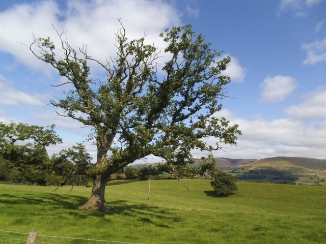
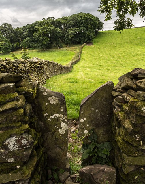
Birkrigg Hill, located in Westmorland, England, is a prominent landmark that stands at an elevation of 250 meters (820 feet) above sea level. As a hill rather than a mountain, it is characterized by its gentle slopes and accessible terrain, making it a popular destination for walkers, hikers, and nature enthusiasts.

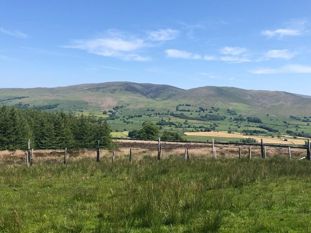
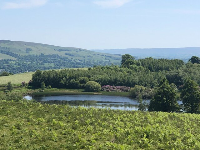
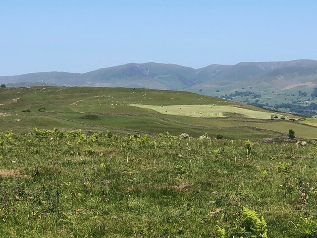
This hill is situated in the southern part of the Lake District National Park, near the coastal town of Ulverston. Its distinctive shape and position offer panoramic views of the surrounding countryside, including Morecambe Bay to the south and the fells of the Lake District to the north.

Birkrigg Hill is known for its ancient archaeological sites, attracting historians and archaeologists alike. The most notable feature is its stone circle, believed to be over 4,000 years old and consisting of 10 stones arranged in an oval shape. This prehistoric monument holds great cultural and historical significance, with theories suggesting it was used for rituals or as a meeting place.

Aside from its historical allure, the hill boasts a diverse range of flora and fauna. The lower slopes are predominantly covered in grasses and heather, while the summit is marked by rocky outcrops and scattered trees. This biodiversity attracts various bird species, including kestrels, buzzards, and skylarks, making it a haven for birdwatchers.

With its combination of natural beauty, historical importance, and accessibility, Birkrigg Hill remains a cherished destination for outdoor enthusiasts and those seeking a deeper connection with the rich heritage of Westmorland.

If you have any feedback on the listing, please let us know in the comments section below.

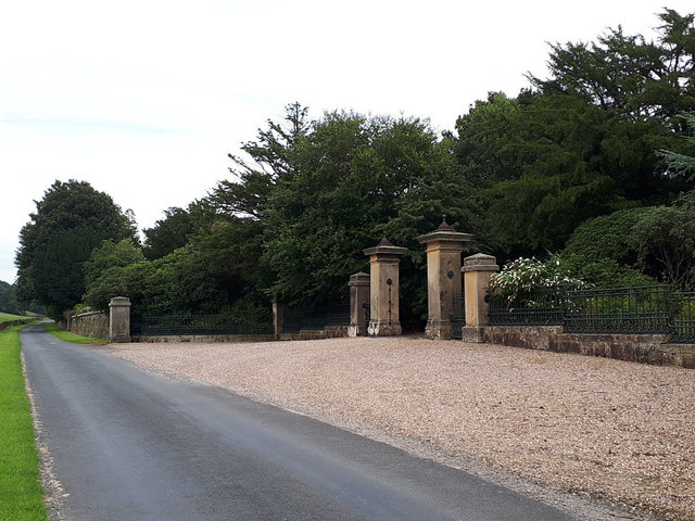
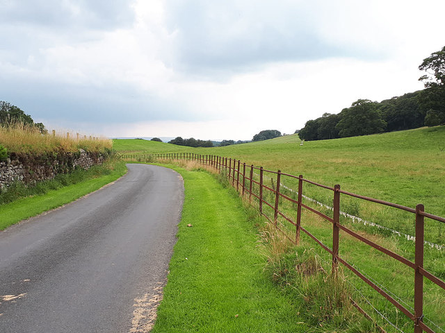
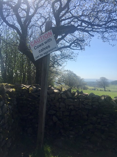
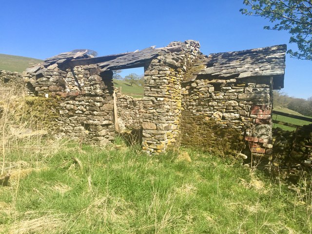
Birkrigg Hill Images

Images are sourced within 2km of 54.256796/-2.6256124 or Grid Reference SD5984. Thanks to Geograph Open Source API. All images are credited.

Old oak in a field This is the further tree beyond the pair seen in the foreground of <a href="https://www.geograph.org.uk/photo/6816077">SD6083 : Minor road towards Rigmaden</a> taken in the spring of the same year.
Old oak in a field
This is the further tree beyond the pair seen in the foreground of SD6083 : Minor road towards Rigmaden taken in the spring of the same year.
Carrfoot Lodge The lodge was that of Rigmaden Park that stretches about 1.2km south from this junction. See <a href="https://www.geograph.org.uk/photo/6816094">SD6185 : Carrfoot Lodge</a> for a closer view taken earlier the same year.
Carrfoot Lodge
The lodge was that of Rigmaden Park that stretches about 1.2km south from this junction. See SD6185 : Carrfoot Lodge for a closer view taken earlier the same year.
Sheep at Rigmaden Farm Grazing on a level field part way up the west slope of Lonsdale.
Sheep at Rigmaden Farm
Grazing on a level field part way up the west slope of Lonsdale.
Minor Road in Rigmaden Park The road seen here rising towards the woodland of High Rigg Brown and Low Rigg Brown
Minor Road in Rigmaden Park
The road seen here rising towards the woodland of High Rigg Brown and Low Rigg Brown
View towards the Howgill Fells
Track below Talebrigg Hill Bridleway crossing a patch of moorland towards the Old Scotch Road from Rigmaden
Track below Talebrigg Hill
Bridleway crossing a patch of moorland towards the Old Scotch Road from Rigmaden
View across Lunedale From Shawrigg towards Calf.
View across Lunedale
From Shawrigg towards Calf.
Young shelterbelt, Talebrigg Hill Further on, by the tarn, the Rhododendron ponticum is in bloom.
Young shelterbelt, Talebrigg Hill
Further on, by the tarn, the Rhododendron ponticum is in bloom.
Kittmere View from Talebrigg Hill
Kittmere
View from Talebrigg Hill
Flowering Rhododendron ponticum, Kitmere The notorious pest is good to look at for a short while.
Flowering Rhododendron ponticum, Kitmere
The notorious pest is good to look at for a short while.
Silage making, Lunedale View from Talebrigg Hill towards the Howgill Fells.
Silage making, Lunedale
View from Talebrigg Hill towards the Howgill Fells.
Old Direction Sign - Signpost, Rigmaden, Mansergh Parish Cone finial - 1 arm; by the UC road, in parish of Mansergh (South Lakeland District), Rigmaden.

Surveyed

Milestone Society National ID: WE_SD6185.
Old Direction Sign - Signpost, Rigmaden, Mansergh Parish
Cone finial - 1 arm; by the UC road, in parish of Mansergh (South Lakeland District), Rigmaden. Surveyed Milestone Society National ID: WE_SD6185.
South entrance to Rigmaden Park See <a href="https://www.geograph.org.uk/photo/2288305">SD6184 : Rigmaden Park</a> for the house itself, which is listed grade II, as are these entrance gates, piers and railings designed in 1825 by Francis Webster.
South entrance to Rigmaden Park
See SD6184 : Rigmaden Park for the house itself, which is listed grade II, as are these entrance gates, piers and railings designed in 1825 by Francis Webster.
Rigmaden Park The public road runs through the estate, fenced with typical 'estate railings'.  The wall to the left may be intended to function as a ha-ha.
Rigmaden Park
The public road runs through the estate, fenced with typical 'estate railings'. The wall to the left may be intended to function as a ha-ha.
Finger Post from Mansergh High Bridleway indicating public path to Old Town Public footpath through stone stile in dry stone wall adjoining public bridleway from Mansergh High Farm towards Mansergh Community Hall. Path leads over grass farmland to Old Scotch Road, Old Town
Finger Post from Mansergh High Bridleway indicating public path to Old Town
Public footpath through stone stile in dry stone wall adjoining public bridleway from Mansergh High Farm towards Mansergh Community Hall. Path leads over grass farmland to Old Scotch Road, Old Town
Derelict outbuilding Woodside Collapsing outhouse to the rear of the unoccupied farmhouse that has been empty for at least 50 years 
xref <a title="https://www.geograph.org.uk/photo/4396000" href="https://www.geograph.org.uk/photo/4396000">Link</a>
Derelict outbuilding Woodside
Collapsing outhouse to the rear of the unoccupied farmhouse that has been empty for at least 50 years xref Link
Acre Wood Footpath leading to Acre Wood.
Acre Wood
Footpath leading to Acre Wood.
Heights Road above Heights.
Heights
Road above Heights.
Show me another place!

Birkrigg Hill is located at Grid Ref: SD5984 (Lat: 54.256796, Lng: -2.6256124)

Administrative County: Cumbria

District: South Lakeland

Police Authority: Cumbria

What 3 Words

///physics.lift.jumbo. Near Kirkby Lonsdale, Cumbria

Related Wikis

St Peter's Church, Mansergh

St Peter's Church is in the village of Mansergh, Cumbria, England. It is an active Anglican parish church in the deanery of Kendal, the archdeaconry of...

Mansergh, Cumbria

Mansergh is a village and civil parish in the South Lakeland district of the English county of Cumbria. It includes the village of Mansergh and the hamlet...

Middleton, Cumbria

Middleton is a village and a civil parish on the A683 road, in the South Lakeland district, in the county of Cumbria, England. Middleton has a church called...

Barbon Beck

Barbon Beck is a small river in Barbondale, Cumbria. It is a tributary of the River Lune. Rising at Weather Ling Hill, where it is known as Barkin Beck...

Brunthwaite

Brunthwaite is a hamlet in Cumbria, England. Medieval pottery has been unearthed in the area. == References ==

Beckside

Beckside is a village in Cumbria, England.

Barbon railway station

Barbon railway station was located in Westmorland (now part of Cumbria), England, serving the town and locale of Barbon on the Ingleton Branch Line....

St Bartholomew's Church, Barbon

St Bartholomew's Church is in the village of Barbon, Cumbria, England. It is an active Anglican parish church in the deanery of Kendal, the archdeaconry...

Nearby Amenities

Located within 500m of 54.256796,-2.6256124
Man Made: manhole
Manhole: water
Lat/Long: 54.2591083/-2.6214557
Man Made: manhole
Manhole: water
Lat/Long: 54.2549471/-2.6202729
Birkrigg Hill
Natural: peak
Lat/Long: 54.2571231/-2.6254908
Man Made: manhole
Manhole: water
Lat/Long: 54.2602862/-2.6212015
Man Made: manhole
Manhole: water
Lat/Long: 54.2564448/-2.6207365
Man Made: manhole
Manhole: water
Lat/Long: 54.2562217/-2.6206189
Power: pole
Lat/Long: 54.2572988/-2.6332112
The data included in this document is from www.openstreetmap.org. The data is made available under ODbL.

Have you been to Birkrigg Hill?

Leave your review of Birkrigg Hill below (or comments, questions and feedback).