Bog Hill

Hill, Mountain in Aberdeenshire

Scotland

Bog Hill

Tree felling on the Gordon Way Tree clear up from the storms over the last few years
Tree felling on the Gordon Way Credit: Ralph Greig

Bog Hill is a prominent hill located in Aberdeenshire, Scotland. It stands at an elevation of approximately 500 meters (1,640 feet) above sea level. Situated about 10 kilometers (6 miles) southwest of the town of Ballater, it is part of the expansive Cairngorms National Park.

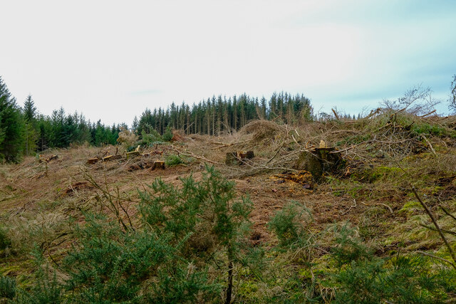
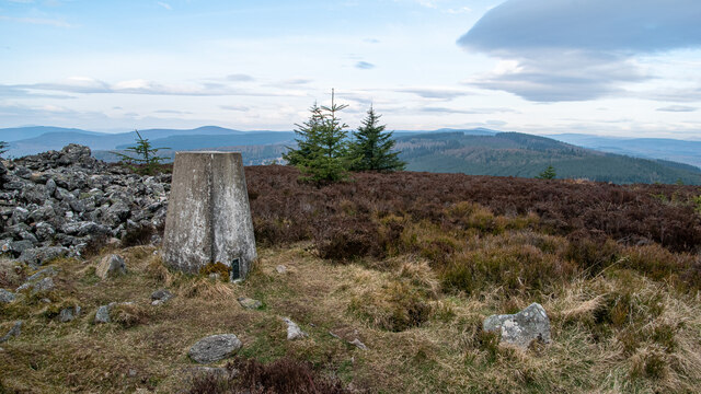
The hill is characterized by its rugged and rocky terrain, with scattered heather and grasses covering its slopes. Its distinctive cone-shaped peak offers breathtaking panoramic views of the surrounding countryside. On a clear day, visitors can admire the vast expanse of rolling hills, dense forests, and meandering rivers that stretch out before them.

Bog Hill is a popular destination for outdoor enthusiasts, offering opportunities for hiking, walking, and wildlife spotting. The hill is home to a diverse range of flora and fauna, including red deer, mountain hares, and golden eagles. Birdwatchers can also enjoy spotting various species of birds, such as ptarmigans and peregrine falcons, in their natural habitat.

The hill's proximity to the town of Ballater makes it easily accessible for both locals and tourists. Several well-marked trails lead to the summit, catering to different levels of difficulty and providing options for leisurely strolls or more challenging hikes. Along the way, visitors may encounter remnants of old stone walls and ruins, offering glimpses into the area's rich historical past.

Whether it's for a peaceful nature walk or a more adventurous climb, Bog Hill in Aberdeenshire is a captivating destination that showcases the beauty and diversity of Scotland's countryside.

If you have any feedback on the listing, please let us know in the comments section below.
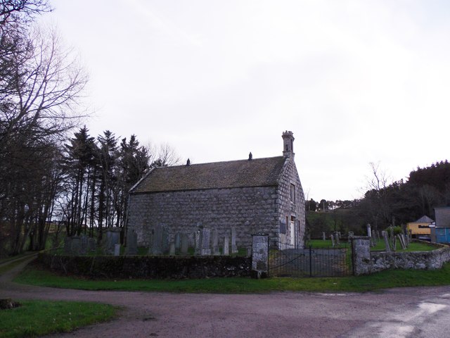
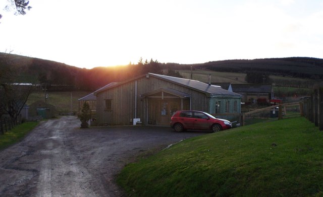
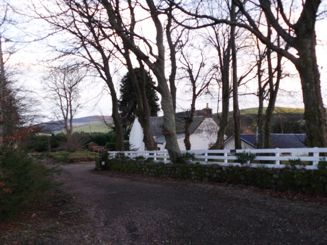
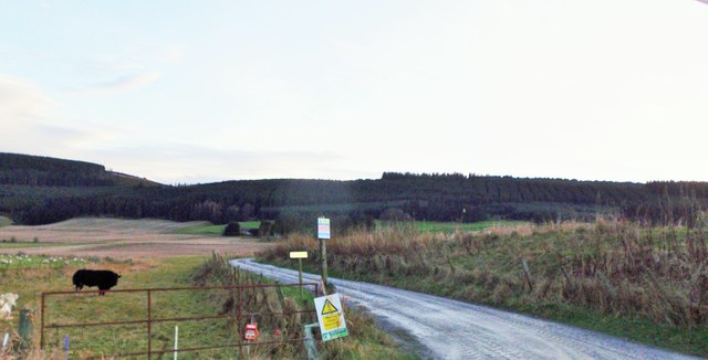
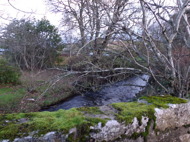
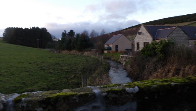
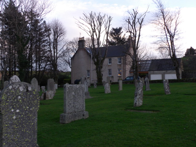
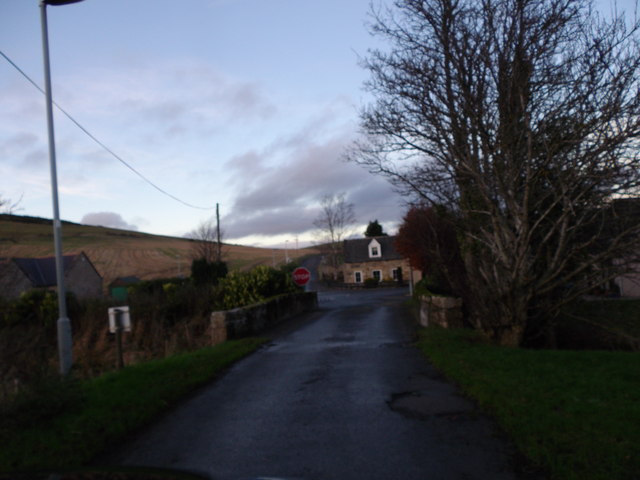
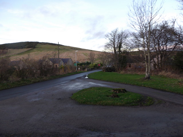
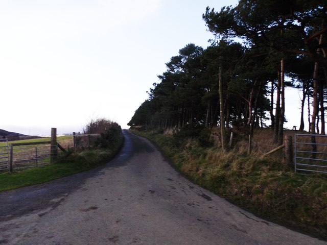
Bog Hill Images

Images are sourced within 2km of 57.308644/-2.6830582 or Grid Reference NJ5824. Thanks to Geograph Open Source API. All images are credited.

Tree felling on the Gordon Way Tree clear up from the storms over the last few years
Tree felling on the Gordon Way
Tree clear up from the storms over the last few years
Knock Saul Summit The process of placing trig points on top of prominent hills and mountains began in 1935 to assist in the accurate retriangulation of Great Britain. The Ordnance Survey's first trig point was erected on 18 April 1936 near Cold Ashby, Northamptonshire. In low-lying or flat areas some trig points are only a few metres above sea level and one is even at −1 m (near Little Ouse, Cambridgeshire, TL61718 89787). When all the trig points were in place, it was possible in clear weather to see at least two other trig points from any one trig point, but subsequent vegetation growth means that this is not necessarily still the case. Careful measurements of the angles between the lines-of-sight of the other trig points then allowed the construction of a system of triangles which could then be referenced back to a single baseline to construct a highly accurate measurement system that covered the entire country.
Knock Saul Summit
The process of placing trig points on top of prominent hills and mountains began in 1935 to assist in the accurate retriangulation of Great Britain. The Ordnance Survey's first trig point was erected on 18 April 1936 near Cold Ashby, Northamptonshire. In low-lying or flat areas some trig points are only a few metres above sea level and one is even at −1 m (near Little Ouse, Cambridgeshire, TL61718 89787). When all the trig points were in place, it was possible in clear weather to see at least two other trig points from any one trig point, but subsequent vegetation growth means that this is not necessarily still the case. Careful measurements of the angles between the lines-of-sight of the other trig points then allowed the construction of a system of triangles which could then be referenced back to a single baseline to construct a highly accurate measurement system that covered the entire country.
Looking Down on Leslie A view over a wheat field to Old Leslie.
Looking Down on Leslie
A view over a wheat field to Old Leslie.
Cottages in Leslie By Kennethmont junction on the road from Premnay.
Cottages in Leslie
By Kennethmont junction on the road from Premnay.
Bridge of Leslie Over the Gadie Burn, towards Bogs of Leslie.
Bridge of Leslie
Over the Gadie Burn, towards Bogs of Leslie.
Leslie kirk From road to Bogs of Leslie.
Leslie kirk
From road to Bogs of Leslie.
Old waterwheel On mill lade at Mill of Leslie, by minor road to Clatt.
Old waterwheel
On mill lade at Mill of Leslie, by minor road to Clatt.
Country Frames Gallery, Little Chapelton Off the road from Leslie to Bogs.
Country Frames Gallery, Little Chapelton
Off the road from Leslie to Bogs.
Saul Farm, Bogs of Leslie At end of public road from Leslie.
Saul Farm, Bogs of Leslie
At end of public road from Leslie.
Hill of Johnston From the minor road near Bridge of Johnston.
Hill of Johnston
From the minor road near Bridge of Johnston.
Access road to Courtiestown farm From the Leslie-Clatt minor road near Bridge of Johnston.
Access road to Courtiestown farm
From the Leslie-Clatt minor road near Bridge of Johnston.
Mill of Leslie By minor road to Clatt.
Mill of Leslie
By minor road to Clatt.
Downstream Gadie Burn From the Bridge of Leslie.
Downstream Gadie Burn
From the Bridge of Leslie.
Upstream Gadie Burn From the Bridge of Leslie.
Upstream Gadie Burn
From the Bridge of Leslie.
Gadie House, Leslie The Old Manse as seen from Leslie kirkyard. See <span class="nowrap"><a title="http://canmoremapping.rcahms.gov.uk/index.php?action=do_details&numlink=148036&cache_name=aWRudW1saW5rLDE0ODAzNl9zZWFyY2h0eXBlLGFkdmFuY2VkX29yYQ==&set=0&list_z=0" rel="nofollow ugc noopener" href="http://canmoremapping.rcahms.gov.uk/index.php?action=do_details&numlink=148036&cache_name=aWRudW1saW5rLDE0ODAzNl9zZWFyY2h0eXBlLGFkdmFuY2VkX29yYQ==&set=0&list_z=0">Link</a><img style="margin-left:2px;" alt="External link" title="External link - shift click to open in new window" src="https://s1.geograph.org.uk/img/external.png" width="10" height="10"/></span>
Gadie House, Leslie
The Old Manse as seen from Leslie kirkyard. See LinkExternal link
Approach to Leslie crossroads From the kirk, and across the Gadie burn via the Bridge of Leslie.
Approach to Leslie crossroads
From the kirk, and across the Gadie burn via the Bridge of Leslie.
Bridge of Leslie Viewed from the gateway into the kirkyard. Driveway to the Old Manse (Gadie House) leading off right.
Bridge of Leslie
Viewed from the gateway into the kirkyard. Driveway to the Old Manse (Gadie House) leading off right.
Road to Bogs of Leslie From the Chapelton junction.
Road to Bogs of Leslie
From the Chapelton junction.
Show me another place!

Bog Hill is located at Grid Ref: NJ5824 (Lat: 57.308644, Lng: -2.6830582)

Unitary Authority: Aberdeenshire

Police Authority: North East

What 3 Words

///cheaply.static.grips. Near Insch, Aberdeenshire

Nearby Locations

Bog Hill

Related Wikis

Castle Croft

Castle Croft was located near New Leslie farm, about 5 kilometres (3.1 mi) south-west of Insch, in Aberdeenshire, Scotland. It was the property of the...

Auchleven

Auchleven (Scottish Gaelic: Achadh Leamhan) is a village in Aberdeenshire, Scotland. Located approximately 4 miles (6 kilometres) south of Insch, 17 mi...

Gordon Way

The Gordon Way is a waymarked hiking trail in Aberdeenshire, Scotland. It runs for 11+1⁄2 miles (18.5 km) through the Bennachie Forest. The route was one...
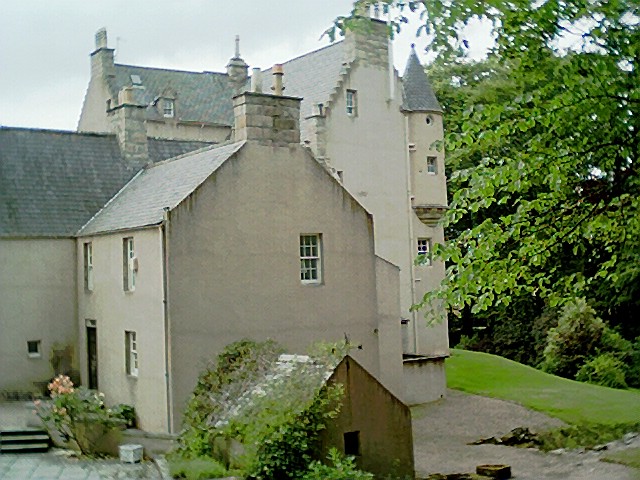
Lickleyhead Castle

Lickleyhead Castle is a well-restored L-plan castle, dating from around 1600, a little south of Auchleven, by the banks of the Gadie Burn, in Aberdeenshire...

Nearby Amenities

Located within 500m of 57.308644,-2.6830582
Power: pole
Lat/Long: 57.3053492/-2.6825558
Power: pole
Lat/Long: 57.3059399/-2.6823344
Power: pole
Lat/Long: 57.3064973/-2.6822004
Power: pole
Lat/Long: 57.3070563/-2.6820336
Power: pole
Lat/Long: 57.3076912/-2.681819
Power: pole
Lat/Long: 57.3082694/-2.6818313
Power: pole
Lat/Long: 57.3088401/-2.6818368
Power: pole
Lat/Long: 57.3094064/-2.6818409
Power: pole
Lat/Long: 57.3100147/-2.6818368
Power: pole
Lat/Long: 57.3124/-2.6807036
Power: pole
Lat/Long: 57.3117947/-2.6808321
Power: pole
Lat/Long: 57.3112432/-2.6809018
Power: pole
Lat/Long: 57.3105094/-2.6809688
Power: pole
Lat/Long: 57.3097895/-2.6829372
Power: pole
Lat/Long: 57.3095356/-2.6842358
Power: pole
Lat/Long: 57.3092949/-2.6854223
Power: pole
Lat/Long: 57.3090025/-2.686844
Power: pole
Lat/Long: 57.3087943/-2.6879129
Power: pole
Lat/Long: 57.3085388/-2.689176
Power: pole
Lat/Long: 57.3082849/-2.6904118
Power: pole
Lat/Long: 57.3098589/-2.6857313
Power: pole
Lat/Long: 57.310392/-2.6860703
Power: pole
Lat/Long: 57.3109885/-2.6864585
Power: pole
Lat/Long: 57.3115201/-2.6867893
The data included in this document is from www.openstreetmap.org. The data is made available under ODbL.

Have you been to Bog Hill?

Leave your review of Bog Hill below (or comments, questions and feedback).