Linton Hill
Hill, Mountain in Dorset
England
Linton Hill
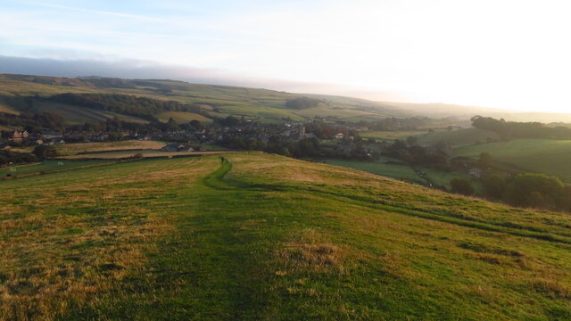
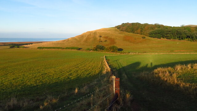
Linton Hill is a prominent geographical feature located in the county of Dorset, England. Situated near the village of Linton, this hill offers breathtaking panoramic views of the surrounding countryside and is a popular destination for hikers, nature enthusiasts, and tourists alike.
Rising to an elevation of approximately 200 meters (656 feet), Linton Hill is classified as a hill rather than a mountain due to its relatively modest height. However, its commanding position allows visitors to enjoy stunning vistas of the rolling Dorset landscape, dotted with picturesque villages, farmland, and meandering rivers.
The hill itself is primarily composed of chalk, which is a characteristic geological feature of the region. The chalky soil supports a diverse range of plant and animal life, including colorful wildflowers and various species of birds and butterflies. Additionally, Linton Hill is home to a rich array of flora and fauna, including oak and beech trees, rabbits, foxes, and occasionally, grazing sheep.
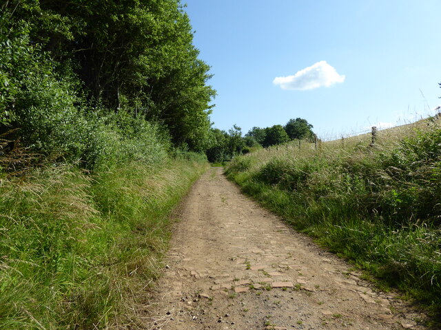
There are several well-maintained footpaths and trails that wind their way up Linton Hill, providing visitors with opportunities to explore its natural beauty. Many of these paths are accessible to both casual walkers and more experienced hikers, making it a popular destination for people of all ages and fitness levels.
For those seeking a tranquil escape from the hustle and bustle of daily life, Linton Hill offers a serene and peaceful environment. Whether it is to enjoy a leisurely stroll, admire the stunning views, or simply immerse oneself in the natural beauty of Dorset, Linton Hill is a must-visit destination for anyone exploring this picturesque region of England.
If you have any feedback on the listing, please let us know in the comments section below.
Linton Hill Images
Images are sourced within 2km of 50.658425/-2.5834204 or Grid Reference SY5884. Thanks to Geograph Open Source API. All images are credited.


Linton Hill is located at Grid Ref: SY5884 (Lat: 50.658425, Lng: -2.5834204)
Unitary Authority: Dorset
Police Authority: Dorset
What 3 Words
///intestine.remarried.button. Near Chickerell, Dorset
Nearby Locations
Related Wikis

Abbotsbury railway station
Abbotsbury was the terminus of the Abbotsbury branch railway in the west of the English county of Dorset. Serving the village of Abbotsbury, it was sited...
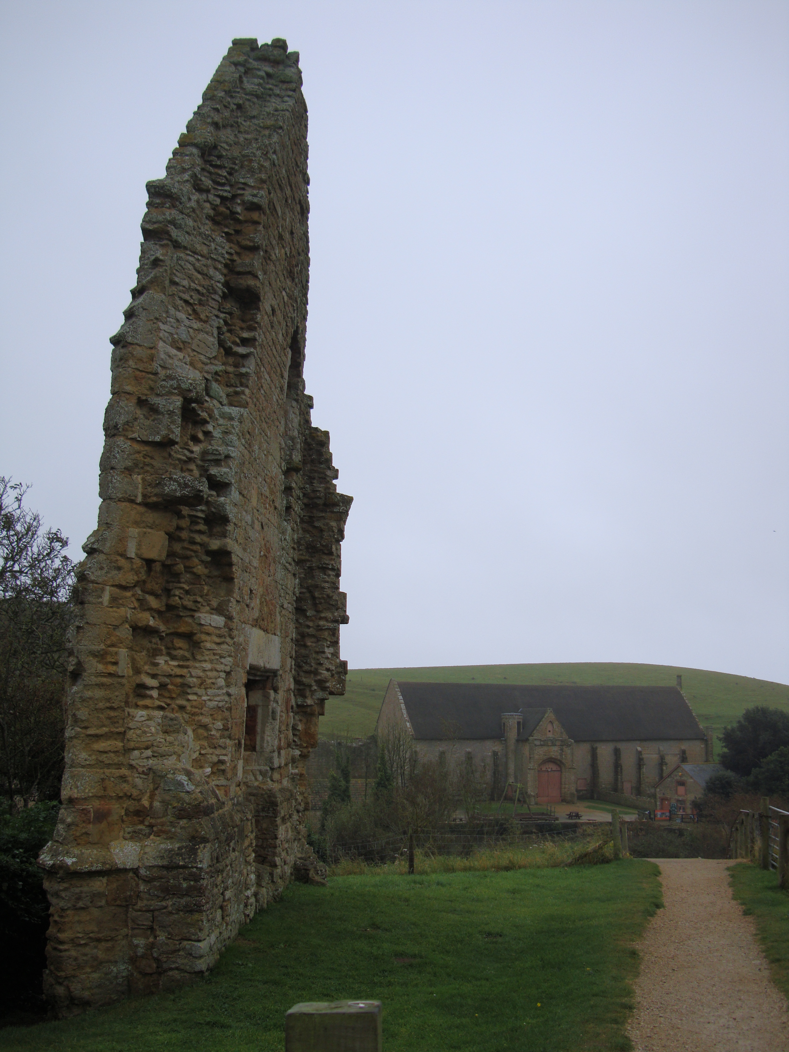
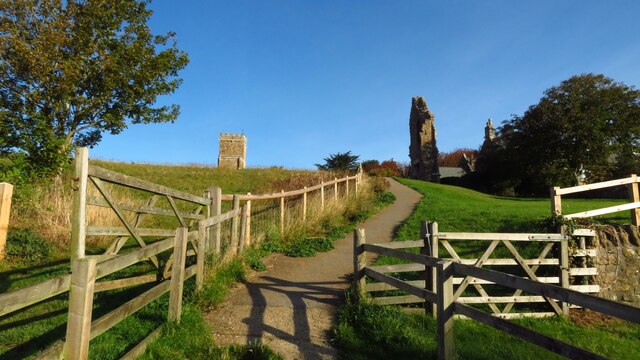
Abbotsbury Abbey
Abbotsbury Abbey, dedicated to Saint Peter, was a Benedictine monastery in the village of Abbotsbury in Dorset, England. The abbey was founded in the 11th...

St Nicholas' Church, Abbotsbury
St Nicholas' Church is a Church of England church in Abbotsbury, Dorset, England. The earliest parts of the church date to the 14th century origin, with...

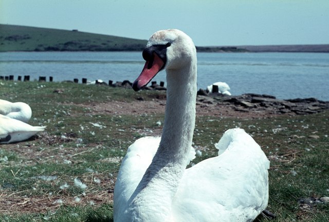
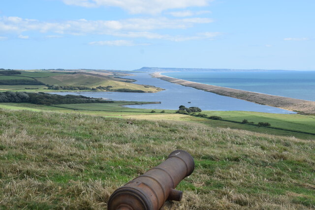
Abbotsbury Swannery
Abbotsbury Swannery is a colony of nesting mute swans near the village of Abbotsbury in Dorset, England. Located on a 1-hectare (2-acre) site around the...

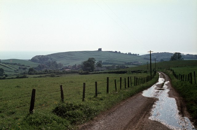
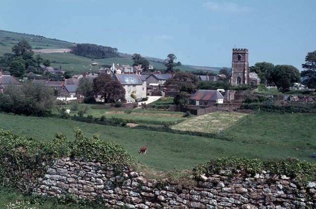
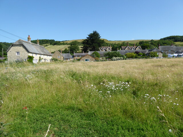
Abbotsbury
Abbotsbury is a village and civil parish in the English county of Dorset. The settlement is in the unitary authority of Dorset about 1 mile (1.6 km) inland...
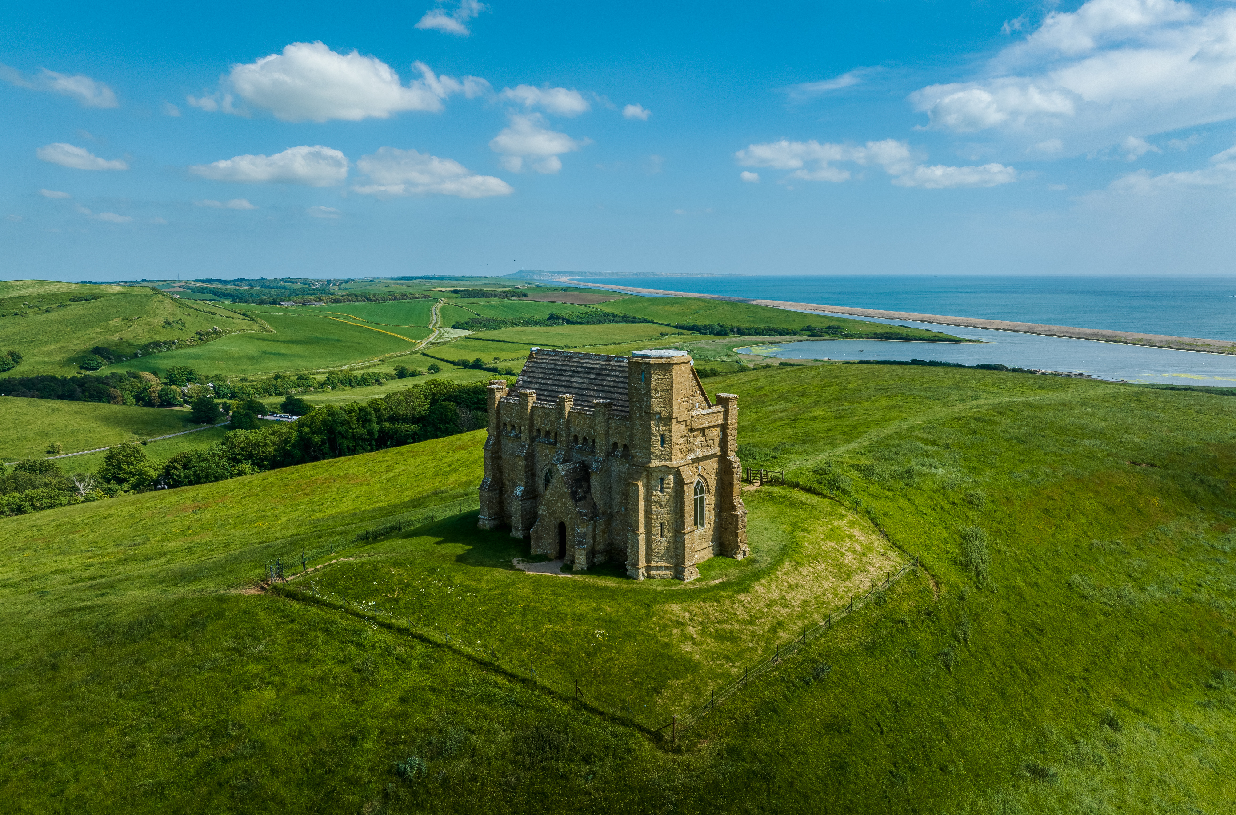
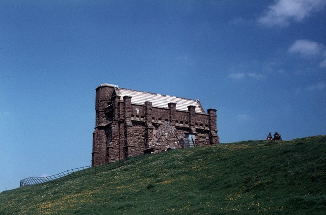
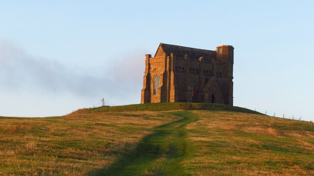
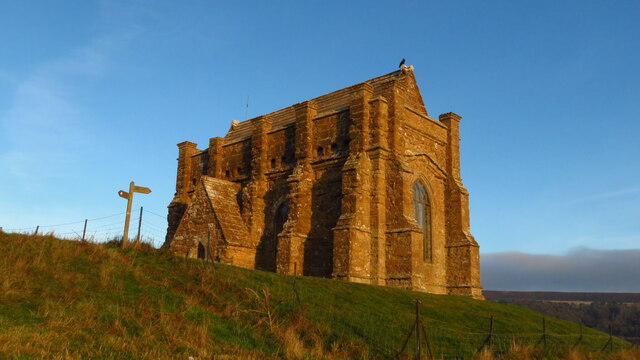
St Catherine's Chapel, Abbotsbury
St Catherine's Chapel is a small chapel situated on a hill above the village of Abbotsbury in Dorset, England. It is dedicated to Saint Catherine. It is...

Abbotsbury Blind Lane
Abbotsbury Blind Lane (grid reference SY576856) is a 0.4 hectares (0.99 acres) geological Site of Special Scientific Interest in Dorset, notified in 1986...

Portesham
Portesham, sometimes also spelled Portisham, is a village and civil parish in the county of Dorset in southwest England, situated in the Dorset Council...
Nearby Amenities
Located within 500m of 50.658425,-2.5834204Have you been to Linton Hill?
Leave your review of Linton Hill below (or comments, questions and feedback).