How Moor
Hill, Mountain in Cumberland Eden
England
How Moor
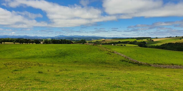
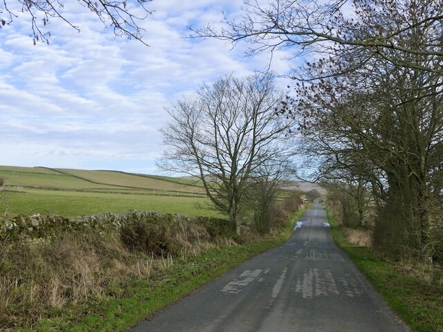
Moor, Cumberland is a prominent hill/mountain located in the county of Cumbria in North West England. Standing at an elevation of approximately 1,000 feet (305 meters), it is part of the wider Pennines range, which stretches across Northern England.
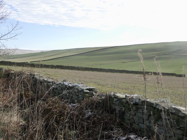
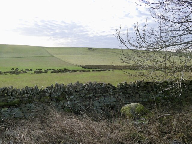
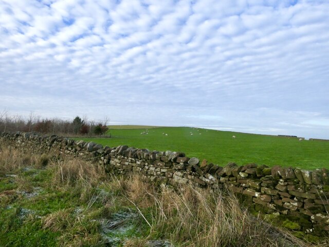
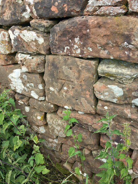
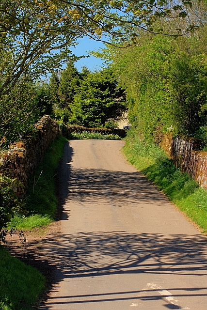
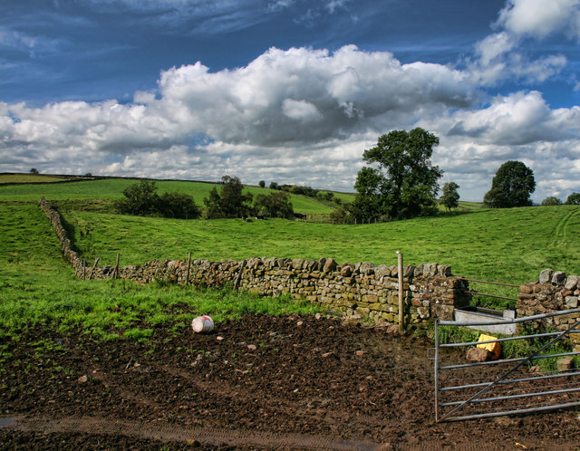
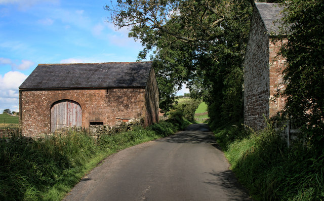
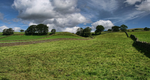
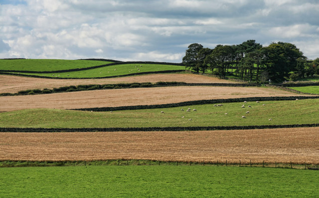
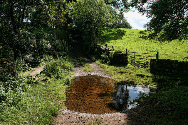
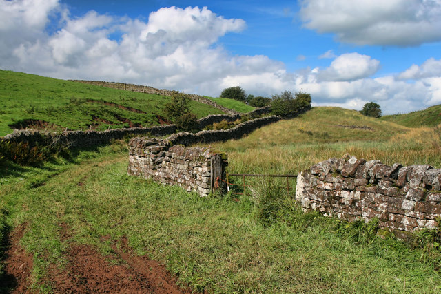
Moor, Cumberland is characterized by its rugged and picturesque landscape, featuring rolling hills, craggy rock formations, and an abundance of heather and grasses. The hill/mountain is primarily composed of sedimentary rocks such as sandstone and limestone, which have been shaped and eroded over millions of years.
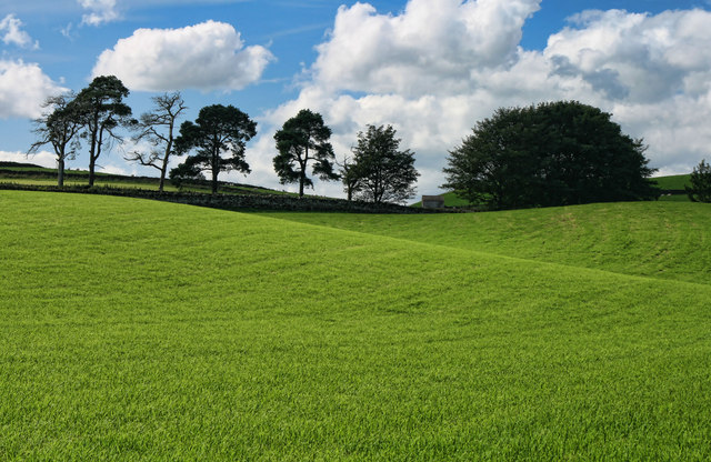
The summit of Moor, Cumberland offers breathtaking panoramic views of the surrounding countryside, including the nearby towns of Carlisle and Penrith. On clear days, it is possible to see as far as the Lake District National Park, which lies to the south-west.
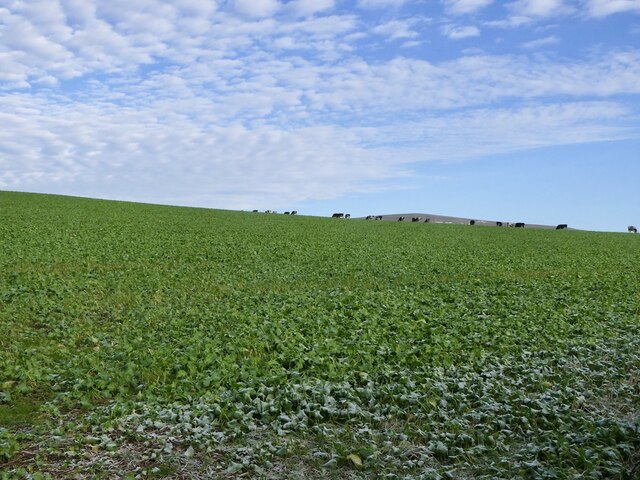
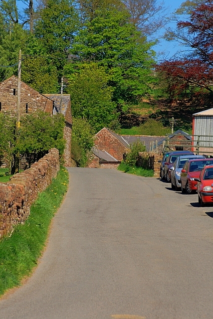
Aside from its natural beauty, Moor, Cumberland also holds historical significance. It was once part of the ancient border between England and Scotland, and remnants of fortified settlements from the Iron Age can still be found in the vicinity. The hill/mountain has also been used for grazing livestock for centuries, with sheep and cattle being a common sight in the surrounding fields.
Moor, Cumberland attracts outdoor enthusiasts, hikers, and nature lovers who come to explore its trails and enjoy the tranquility of the countryside. It is a popular destination for walking, photography, and birdwatching, with various species of birds, including peregrine falcons and red grouse, inhabiting the area.
Overall, Moor, Cumberland offers a captivating blend of natural beauty, historical significance, and recreational opportunities, making it a must-visit destination for both locals and visitors to the region.
If you have any feedback on the listing, please let us know in the comments section below.
How Moor Images
Images are sourced within 2km of 54.782563/-2.6415716 or Grid Reference NY5843. Thanks to Geograph Open Source API. All images are credited.
How Moor is located at Grid Ref: NY5843 (Lat: 54.782563, Lng: -2.6415716)
Administrative County: Cumbria
District: Eden
Police Authority: Cumbria
What 3 Words
///towels.tribe.flopping. Near Alston, Cumbria
Nearby Locations
Related Wikis

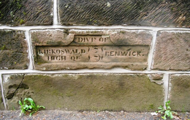
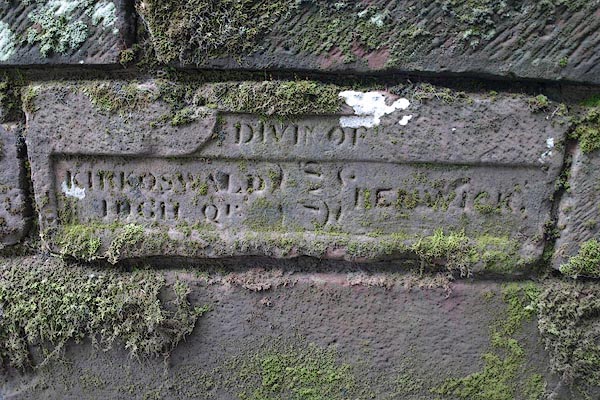
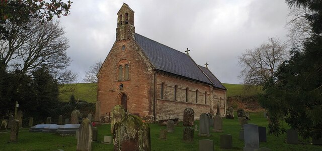
Renwick, Cumbria
Renwick, formerly known as Ravenwick, is a small village and former civil parish, now in the parish of Kirkoswald, in the Eden district, in the county...

Busk, Cumbria
Busk is a hamlet in Cumbria, England. It is located 3.7 miles (6.0 km) by road to the east of Kirkoswald. == See also == List of places in Cumbria ��2...

Unthank, Glassonby
Unthank is a village near Gamblesby in the civil parish of Glassonby in Cumbria, England. It is first mentioned in writing as Unthanke in 1332. == See... ==

Kirkoswald Castle
Kirkoswald Castle is located to the southeast of the village of Kirkoswald, Cumbria, England. It is built from Penrith red sandstone and is still partially...
Have you been to How Moor?
Leave your review of How Moor below (or comments, questions and feedback).