Hook's Hill
Hill, Mountain in Somerset Mendip
England
Hook's Hill
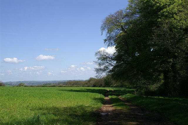
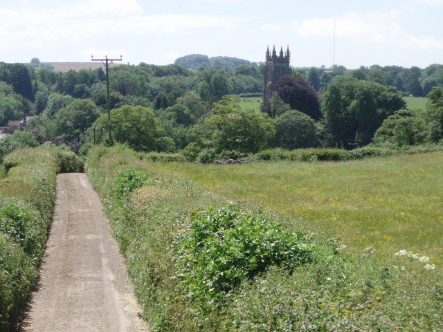
Hook's Hill is a prominent hill located in the county of Somerset, England. It is situated approximately 2 miles south of the town of Wells and overlooks the picturesque Somerset Levels. With an elevation reaching 226 meters (741 feet), Hook's Hill stands as a notable landmark within the region.
The hill is composed primarily of limestone, a characteristic feature of the surrounding Mendip Hills, to which it belongs. This geological makeup gives rise to an interesting and unique landscape, with rugged and rocky outcrops scattered across the hillside. These rocky formations have been shaped by erosion over millions of years, resulting in a distinctive and undulating terrain.
The summit of Hook's Hill offers breathtaking panoramic views of the surrounding countryside, including the Somerset Levels, the Mendip Hills, and even glimpses of the Bristol Channel on clear days. This vantage point makes it a popular destination for hikers, nature enthusiasts, and photographers alike.
The hill is also home to a diverse range of flora and fauna. The limestone grasslands support a variety of plant species, including wildflowers such as orchids, cowslips, and rock roses. It is also a habitat for several bird species, including kestrels, buzzards, and skylarks.
Access to Hook's Hill is facilitated by a network of footpaths and trails, ensuring that visitors can explore its natural beauty while enjoying the tranquil ambiance of the Somerset countryside.
If you have any feedback on the listing, please let us know in the comments section below.
Hook's Hill Images
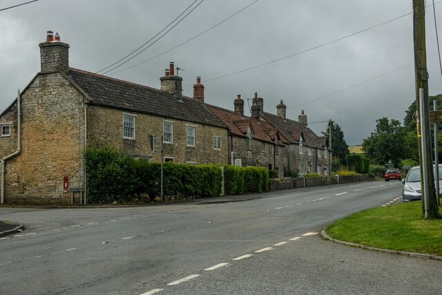
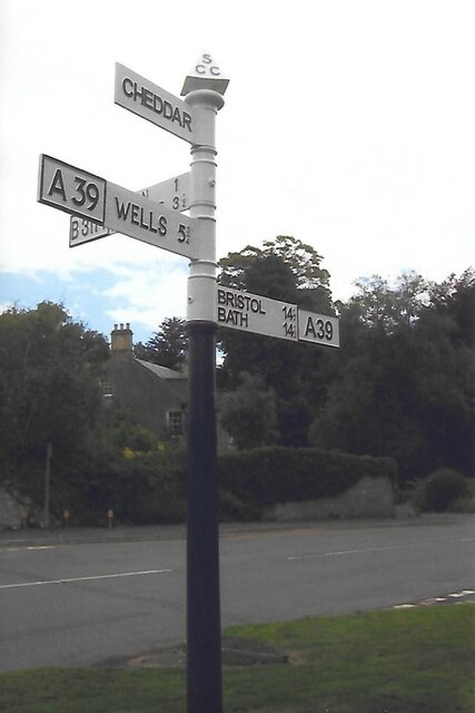
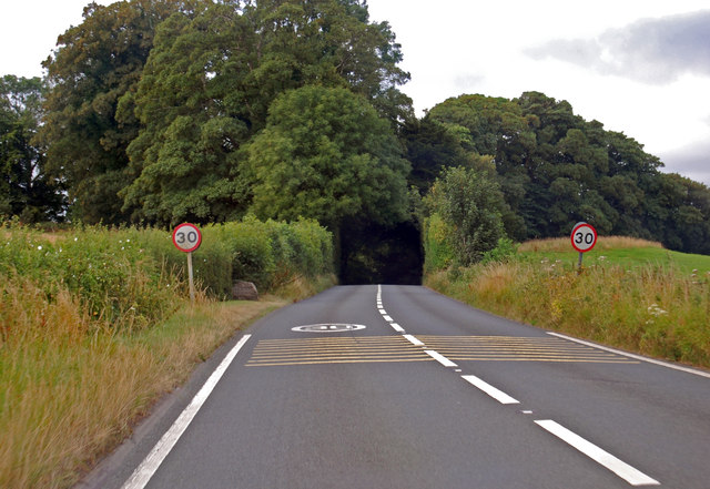
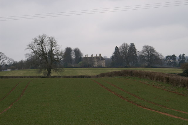
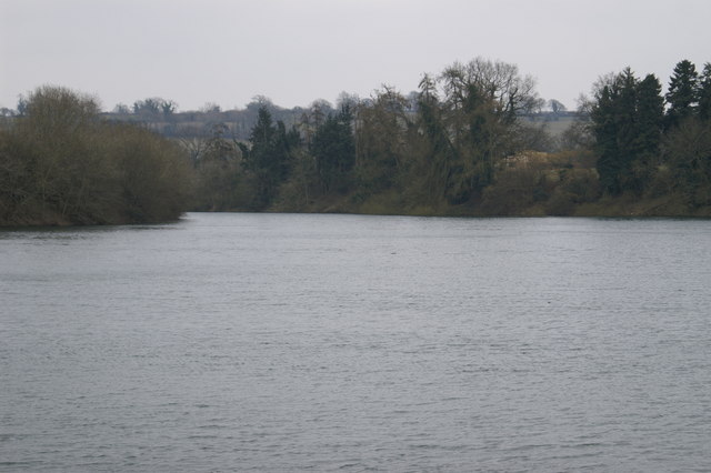
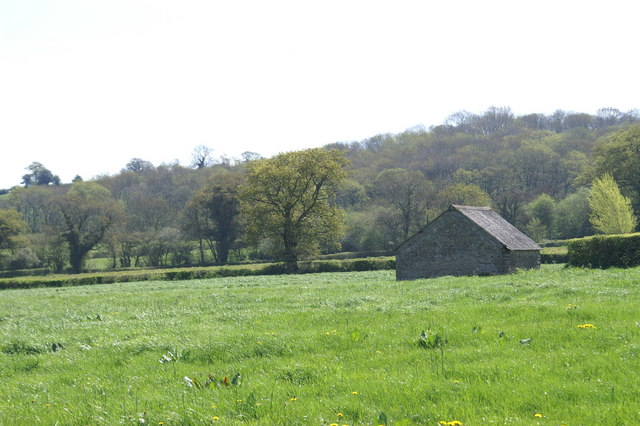
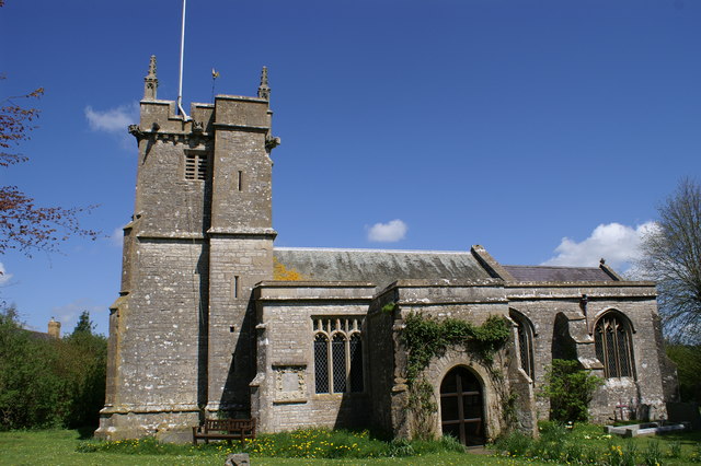
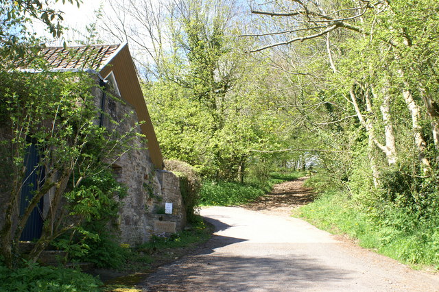
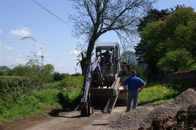
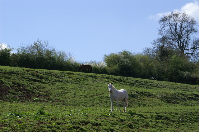
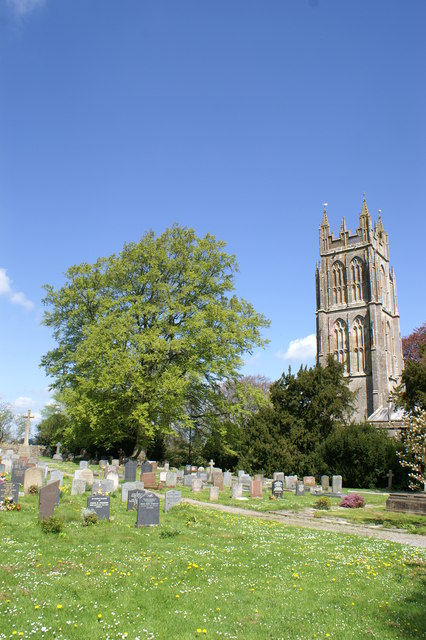
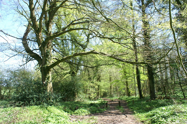
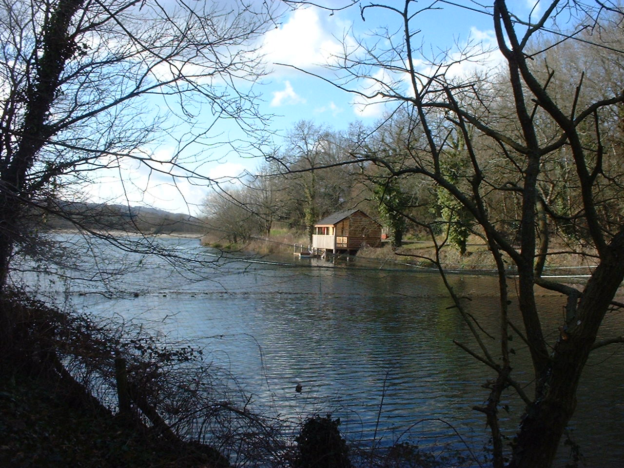
Images are sourced within 2km of 51.28397/-2.592576 or Grid Reference ST5854. Thanks to Geograph Open Source API. All images are credited.


Hook's Hill is located at Grid Ref: ST5854 (Lat: 51.28397, Lng: -2.592576)
Administrative County: Somerset
District: Mendip
Police Authority: Avon and Somerset
What 3 Words
///mountain.thrashed.chairing. Near East Harptree, Somerset
Nearby Locations
Related Wikis
Litton, Somerset
Litton (grid reference ST593546) is a small village and civil parish between Chewton Mendip and West Harptree in the Mendip Hills, Somerset, England. The...
Litton Reservoirs
Litton Reservoirs (also known as Coley Reservoirs) (grid reference ST590553) are two reservoirs near the village of Litton, Somerset, England. They are...
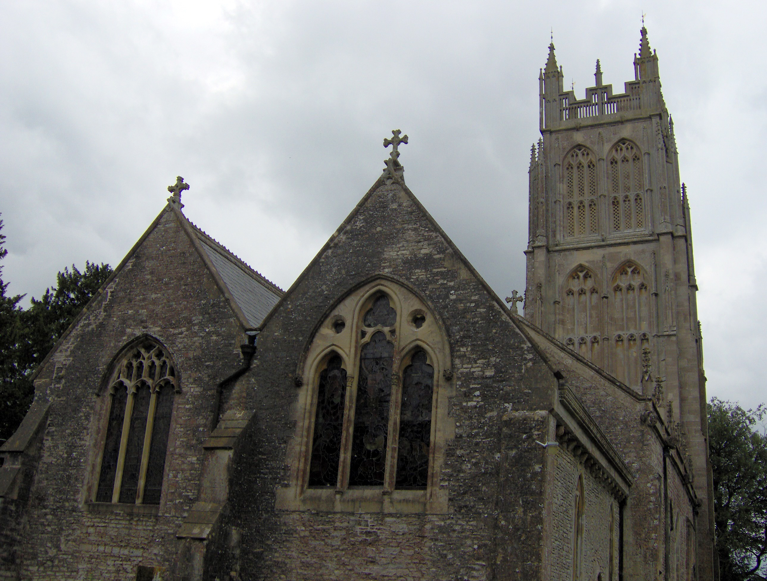
Chewton Mendip
Chewton Mendip is a village and civil parish in Somerset, England. It is situated 4 miles (6 km) north of Wells, 16 miles (26 km) south of Bath and Bristol...
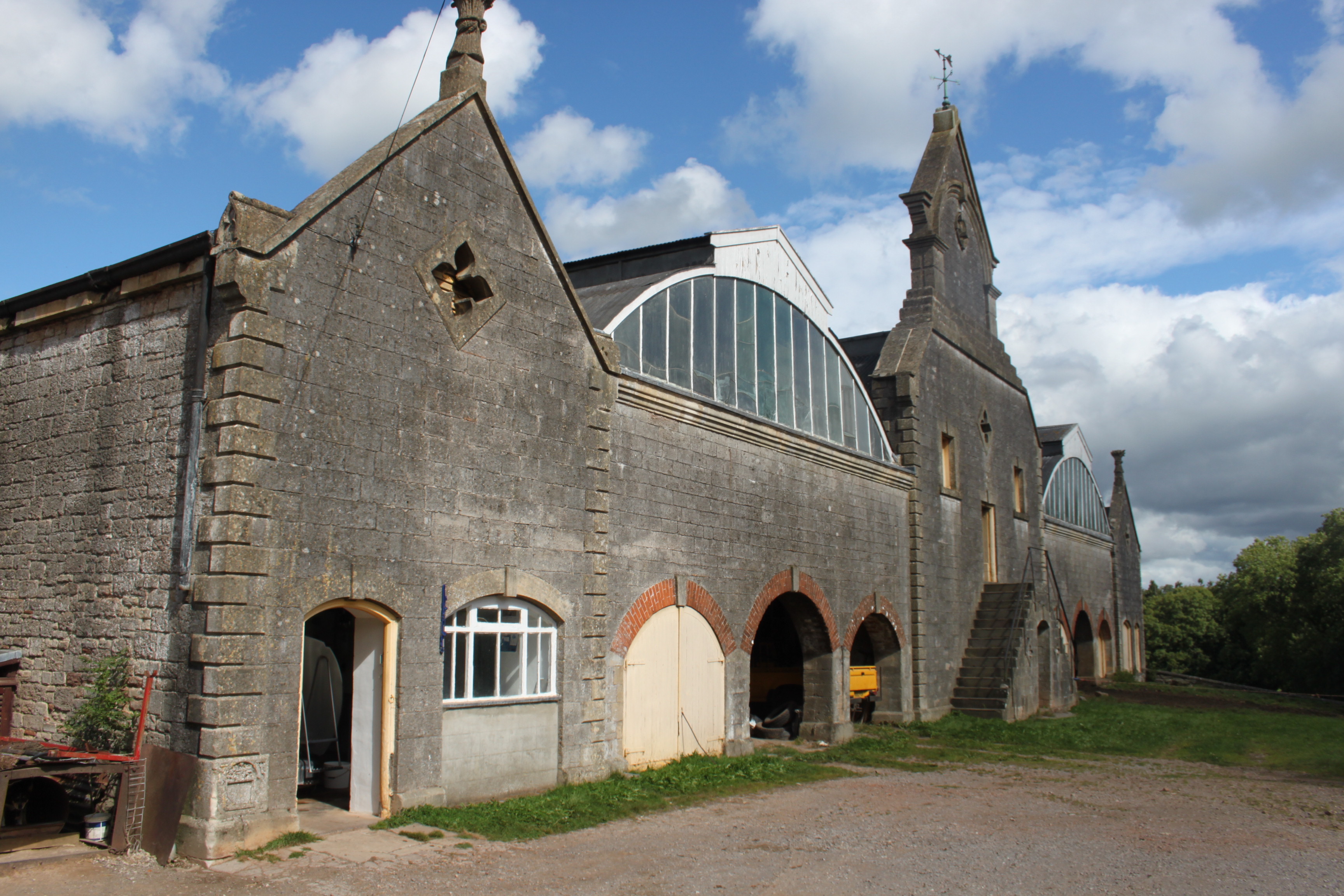
Eastwood Manor Farm Steading
Eastwood Manor Farm Steading in East Harptree, Somerset, England is a Grade I listed building. The farm including the site for the construction of Eastwood...
Nearby Amenities
Located within 500m of 51.28397,-2.592576Have you been to Hook's Hill?
Leave your review of Hook's Hill below (or comments, questions and feedback).