Backbury Hill

Hill, Mountain in Herefordshire

England

Backbury Hill

Fly-tipping in a plantation, Five Bridge Another example of those with no respect or responsibility.  A sofa dumped in a plantation off the A438 to the west of Dormington.
Fly-tipping in a plantation, Five Bridge Credit: Philip Halling

Backbury Hill is a prominent hill located in the county of Herefordshire, England. Situated near the village of Fownhope, it is a notable landmark in the region, offering stunning panoramic views of the surrounding countryside. Standing at an elevation of approximately 315 meters (1,033 feet), it is often referred to as a hill rather than a mountain due to its modest height.

The hill is characterized by its gentle slopes and is covered in a mixture of grassland, heather, and scattered trees, creating a picturesque landscape. It is a part of the wider Malvern Hills Area of Outstanding Natural Beauty, contributing to its protected status and attracting a significant number of visitors each year.

Backbury Hill is also historically significant, with evidence of human activity dating back to the Iron Age. The remains of an Iron Age hillfort can be found at the summit, consisting of an oval-shaped enclosure surrounded by earthworks and defensive ditches. This archaeological site offers insight into the ancient past and adds to the hill's appeal for history enthusiasts.

The hill is a popular destination for outdoor activities such as hiking, walking, and nature exploration. Several well-marked trails traverse its slopes, allowing visitors to fully appreciate its natural beauty. Wildlife is abundant in the area, with various bird species, butterflies, and small mammals inhabiting the hillside.

Overall, Backbury Hill is a remarkable feature of the Herefordshire landscape, offering a blend of natural beauty, historical significance, and recreational opportunities for all who venture to its summit.

If you have any feedback on the listing, please let us know in the comments section below.

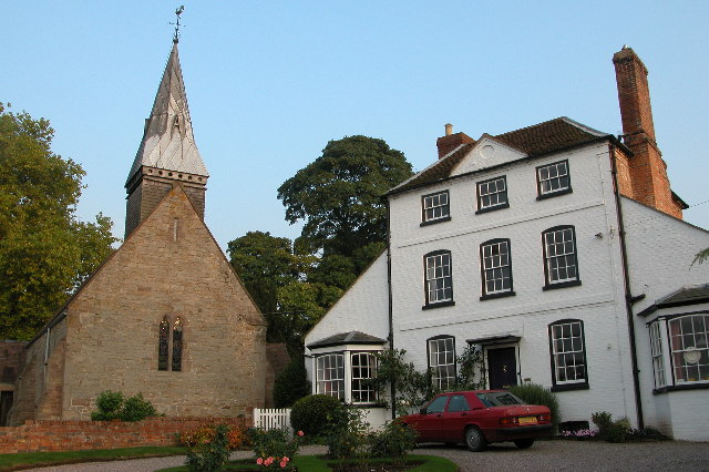
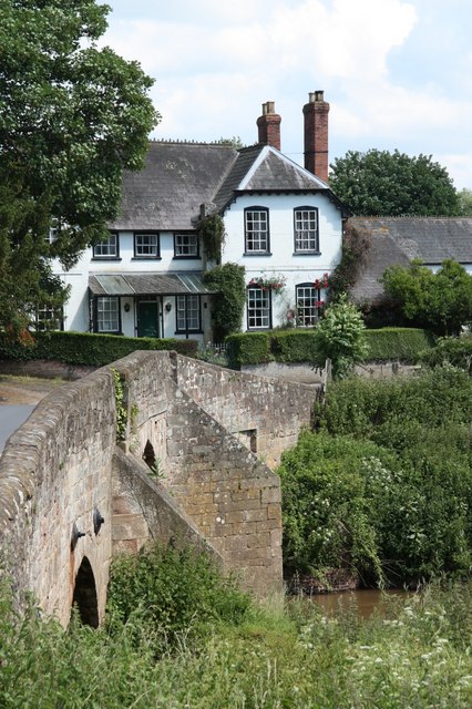
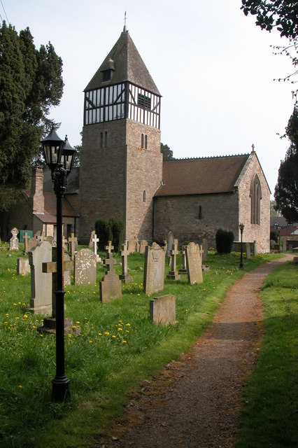
Backbury Hill Images

Images are sourced within 2km of 52.045532/-2.6088842 or Grid Reference SO5838. Thanks to Geograph Open Source API. All images are credited.

Fly-tipping in a plantation, Five Bridge Another example of those with no respect or responsibility.  A sofa dumped in a plantation off the A438 to the west of Dormington.
Fly-tipping in a plantation, Five Bridge
Another example of those with no respect or responsibility. A sofa dumped in a plantation off the A438 to the west of Dormington.
Dormington church St Peter's church, Dormington dates from the 13th century and was heavily restored in the 19th century.
Dormington church
St Peter's church, Dormington dates from the 13th century and was heavily restored in the 19th century.
Oast House, Claston Farm, Dormington
Hereford and Ledbury road signs
Hop fields by A438
Hop fields by A438
Dormington Church St Peter's church and an impressive Georgian house adjacent to it.
Dormington Church
St Peter's church and an impressive Georgian house adjacent to it.
Plantation, Five Bridges Marshy area with the road to Hereford requiring five bridges to cope with the waters of the River Frome.
Plantation, Five Bridges
Marshy area with the road to Hereford requiring five bridges to cope with the waters of the River Frome.
St Peter, Dormington
Interior, St Peter, Dormington
Footpath to Upper Dormington From the graveyard of St. Peter's Church
Footpath to Upper Dormington
From the graveyard of St. Peter's Church
St. Peter's Church, Dormington With a carpet of snowdrops on the churchyard floor in the late January sunshine.
St. Peter's Church, Dormington
With a carpet of snowdrops on the churchyard floor in the late January sunshine.
Spire detail, St. Peter's Church, Dormington A shingled bell turret with leaded spire.
Spire detail, St. Peter's Church, Dormington
A shingled bell turret with leaded spire.
GR postbox outside St. Peter's Church, Dormington
Bus shelter at Dormington With Shucknall Hill in the distance.
Bus shelter at Dormington
With Shucknall Hill in the distance.
Short footpath from Dormington
Churchyard,  St. Peter's Church, Dormington With many old gravestones against the wall.
Churchyard, St. Peter's Church, Dormington
With many old gravestones against the wall.
Show me another place!

Backbury Hill is located at Grid Ref: SO5838 (Lat: 52.045532, Lng: -2.6088842)

Unitary Authority: County of Herefordshire

Police Authority: West Mercia

What 3 Words

///nowadays.victory.imparting. Near Lugwardine, Herefordshire

Related Wikis

Dormington

Dormington is a village and civil parish in Herefordshire, in the West Midlands of England. Dormington village is at the north of its parish, 5 miles...

Mordiford

Mordiford is a village and civil parish in Herefordshire, England on the B4224 Hereford to Mitcheldean road 4 miles (6 km) east-southeast of the city of...

Perton, Herefordshire

Perton is a hamlet in the English county of Herefordshire. It is in the civil parish of Stoke Edith being west of the village of that name. == External... ==

Longworth Roman Catholic Chapel

Longworth Roman Catholic Chapel is a redundant chapel in the village of Bartestree, Herefordshire, England, standing adjacent to the former Convent of...

River Lugg

The River Lugg (Welsh: Afon Llugwy) rises near Llangynllo in Radnorshire, Wales. It flows through the border town of Presteigne and then through Herefordshire...

River Frome, Herefordshire

The River Frome is a river in Herefordshire, England. It flows through Bromyard, and Bishops Frome. Immediately below the depopulated village of Stretton...

Weston Beggard

Weston Beggard is a small civil parish and hamlet in Herefordshire, England. It is located between the villages of Shucknall and Bartestree and lies approximately...

Hampton Bishop

Hampton Bishop is a village and civil parish south-east of Hereford, in Herefordshire, England. The population of the civil parish at the 2011 Census was...

Nearby Amenities

Located within 500m of 52.045532,-2.6088842
Barrier: stile
Bicycle: yes
Foot: yes
Lat/Long: 52.0436067/-2.6149172
Barrier: stile
Lat/Long: 52.0463021/-2.6107358
Power: pole
Lat/Long: 52.0433329/-2.6042546
Power: pole
Lat/Long: 52.043323/-2.6035787
Clouds
Power: pole
Transformer: distribution
Voltage Primary: 11000
Lat/Long: 52.042972/-2.6033849
Generator Method: photovoltaic
Generator Output Electricity: yes
Generator Source: solar
Generator Type: solar_photovoltaic_panel
Location: roof
Power: generator
Lat/Long: 52.0436934/-2.6027995
Generator Method: photovoltaic
Generator Output Electricity: yes
Generator Source: solar
Generator Type: solar_photovoltaic_panel
Location: roof
Power: generator
Lat/Long: 52.0438476/-2.6103902
Barrier: stile
Lat/Long: 52.0431542/-2.604846
Man Made: survey_point
Note: No longer uses as no view.
Ref: S6409
Lat/Long: 52.0455212/-2.6086682
Post Box
Post Box Type: pillar
Ref: HR1 102
Lat/Long: 52.0431407/-2.6031911
Power: pole
Lat/Long: 52.0433238/-2.602994
Power: pole
Lat/Long: 52.0435103/-2.6056145
Sunny Side
Power: pole
Transformer: distribution
Voltage Primary: 11000
Lat/Long: 52.044364/-2.6068644
Clouds Farm
Power: pole
Transformer: distribution
Voltage Primary: 11000
Lat/Long: 52.043031/-2.6066713
Power: pole
Lat/Long: 52.0434039/-2.6067249
Power: pole
Lat/Long: 52.0436637/-2.6067665
Power: pole
Lat/Long: 52.0438443/-2.6081492
Power: pole
Lat/Long: 52.0439879/-2.6092958
Pen-Hafod
Power: pole
Transformer: distribution
Voltage Primary: 11000
Lat/Long: 52.0437552/-2.6100375
Power: pole
Lat/Long: 52.0433148/-2.6105779
Power: pole
Lat/Long: 52.0432768/-2.6114658
Power: pole
Lat/Long: 52.0432414/-2.6122959
Power: pole
Lat/Long: 52.04321/-2.6130925
Cock Shoot
Power: pole
Transformer: distribution
Voltage Primary: 11000
Lat/Long: 52.0431836/-2.6138784
Barrier: stile
Lat/Long: 52.0438188/-2.6053745
The data included in this document is from www.openstreetmap.org. The data is made available under ODbL.

Have you been to Backbury Hill?

Leave your review of Backbury Hill below (or comments, questions and feedback).