Bowie Hillock

Hill, Mountain in Aberdeenshire

Scotland

Bowie Hillock

Wester Leys Farm entrance
Wester Leys Farm entrance Credit: Ralph Greig

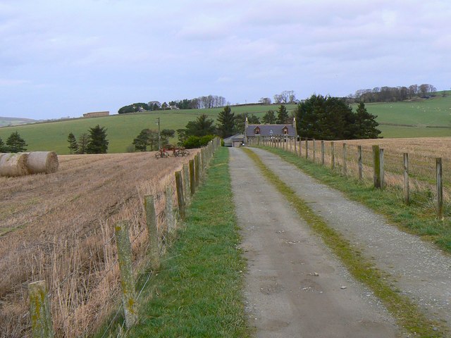
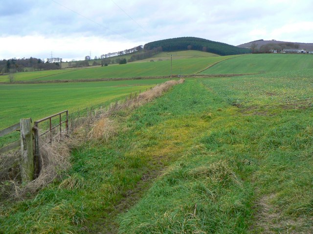
Bowie Hillock is a prominent hill located in Aberdeenshire, Scotland. Standing at an elevation of approximately 347 meters (1,138 feet), it is a notable landmark in the area. Situated near the town of Banchory, Bowie Hillock offers stunning panoramic views of the surrounding countryside and is a popular spot for outdoor enthusiasts, hikers, and nature lovers.

The hill is characterized by its gently sloping sides, covered with heather and grass, which provide a picturesque setting for leisurely walks and hikes. The summit of Bowie Hillock offers an excellent vantage point, allowing visitors to appreciate the scenic beauty of Aberdeenshire and the nearby Cairngorms National Park.

The hill is easily accessible, with well-defined paths leading to the top, making it suitable for all levels of hikers. Along the way, visitors may encounter various wildlife species such as red deer, rabbits, and a variety of birdlife, adding to the charm of the area.

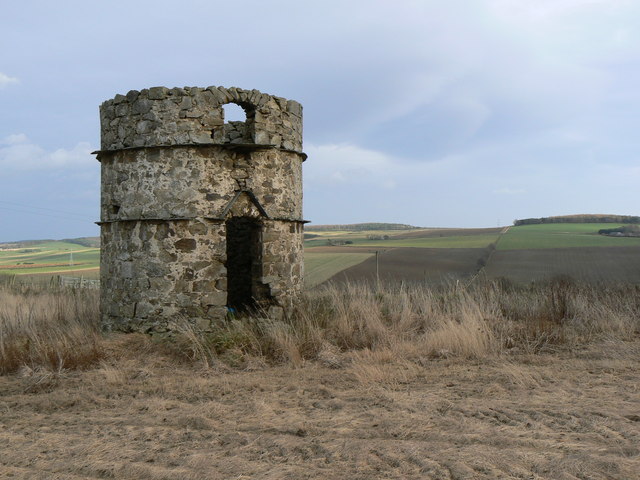
Bowie Hillock holds historical significance, with evidence of ancient settlements and burial grounds found in the vicinity. These archaeological sites serve as a reminder of the rich cultural heritage of the region.

Overall, Bowie Hillock is a captivating hill that combines natural beauty, recreational opportunities, and historical interest. Whether it's for a leisurely stroll or a more challenging hike, visitors can enjoy the tranquility and captivating views that this Aberdeenshire landmark has to offer.

If you have any feedback on the listing, please let us know in the comments section below.

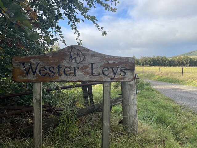
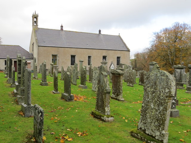
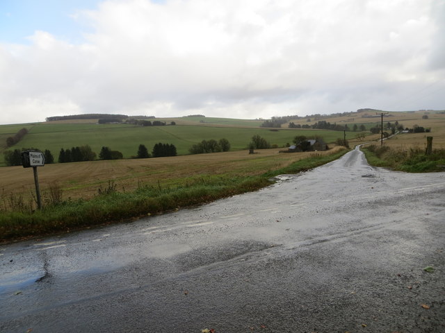
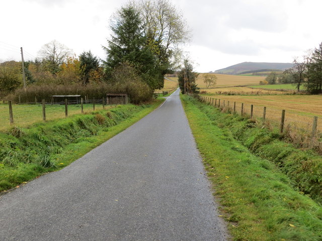
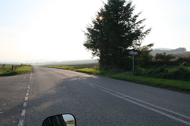
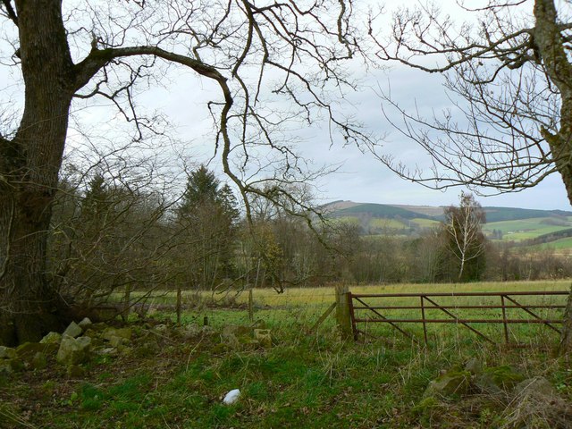
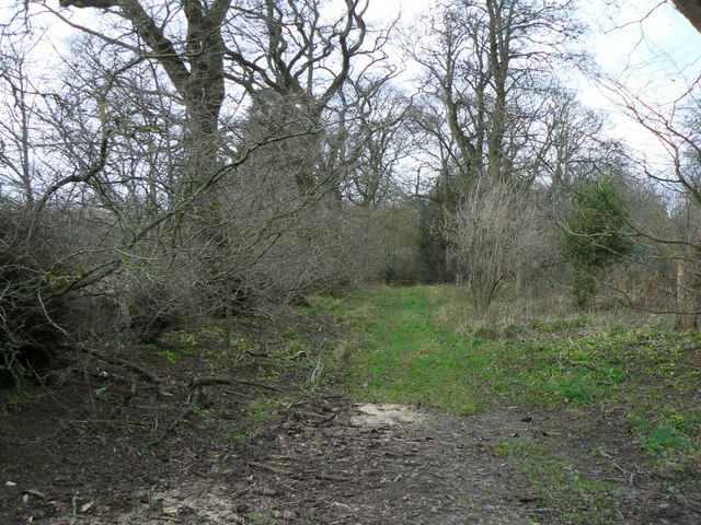
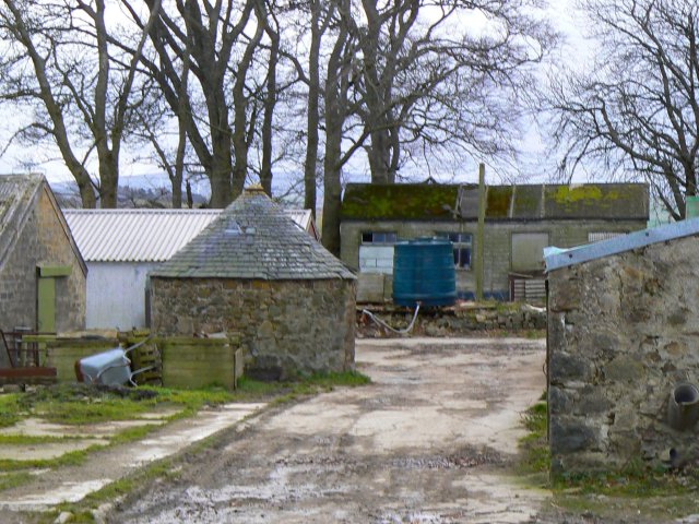
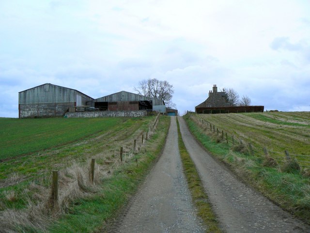
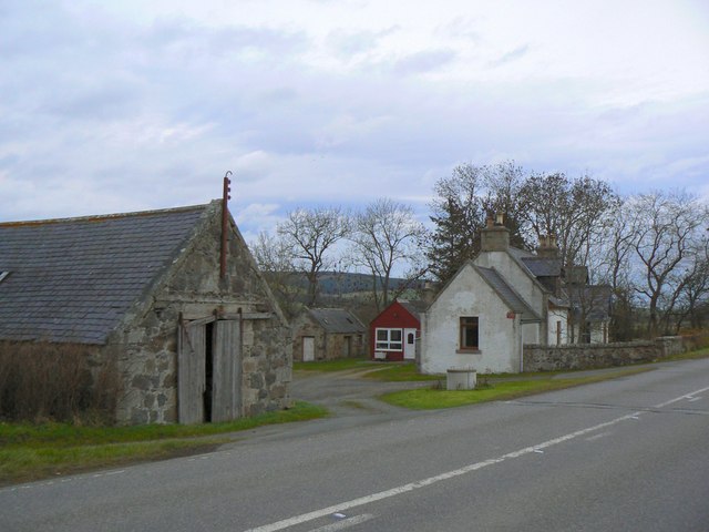
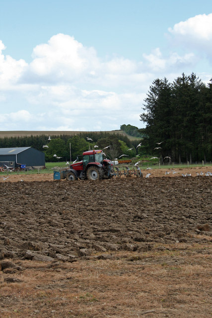
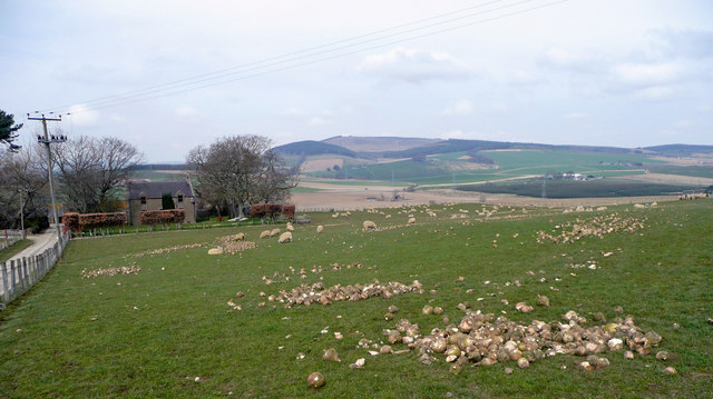
Bowie Hillock Images

Images are sourced within 2km of 57.467046/-2.698448 or Grid Reference NJ5842. Thanks to Geograph Open Source API. All images are credited.

Wester Leys Farm entrance
Burial Ground and Church at Dumblade Viewed from the south.
Burial Ground and Church at Dumblade
Viewed from the south.
Junction of roads at Meikleton Looking south-eastward towards Mains of Corse.
Junction of roads at Meikleton
Looking south-eastward towards Mains of Corse.
Minor road at Haughs of Corse Looking north-westward.
Minor road at Haughs of Corse
Looking north-westward.
Corse is off to the left along the A97.
Drumblade Church A tiny Church of Scotland church, viewed from across the adjacent cemetery.
Drumblade Church
A tiny Church of Scotland church, viewed from across the adjacent cemetery.
North of Baron's Gate Woodland to the north of the track between Meikleton and Home Farm.
North of Baron's Gate
Woodland to the north of the track between Meikleton and Home Farm.
West of Lessendrum Track through woodland, leading west to Home Farm.
West of Lessendrum
Track through woodland, leading west to Home Farm.
Round Tower Standing prominently on a hill to the west of Meikleton Farm, this tower is marked on O.S. maps as a Doocot, but is of rather an unusual design.
Round Tower
Standing prominently on a hill to the west of Meikleton Farm, this tower is marked on O.S. maps as a Doocot, but is of rather an unusual design.
Comisty Farm Farmyard and buildings, with farmhouse in the background.
Comisty Farm
Farmyard and buildings, with farmhouse in the background.
Road to Blackfolds Blackfolds pig farm, seen from the public road.
Road to Blackfolds
Blackfolds pig farm, seen from the public road.
Circular farm building An unusual circular building with a conical roof in Pitfancy farmyard.
Circular farm building
An unusual circular building with a conical roof in Pitfancy farmyard.
Four fields, four shades of green Rolling agricultural land with Cruchie Wood in the background.
Four fields, four shades of green
Rolling agricultural land with Cruchie Wood in the background.
Drive to Cobairdy Entrance to Cobairdy estate and home farm.
Drive to Cobairdy
Entrance to Cobairdy estate and home farm.
Cruchie Farm Well-maintained road leading to the farm.
Cruchie Farm
Well-maintained road leading to the farm.
Easter Leys farm Situated alongside the A97 road.
Easter Leys farm
Situated alongside the A97 road.
Ploughing The Seagulls are having a feast behind this plough.  The tractor has a box on the front to act as a counter balance to the weight of the plough and the soil. Usually the front of the tractor has weights fixed to it but if the tractor if used for other non cultivation jobs most of the time these weights are discarded and other things are used. It is also possible that the tractor driver was gathering rocks from the land while ploughing.
Ploughing
The Seagulls are having a feast behind this plough. The tractor has a box on the front to act as a counter balance to the weight of the plough and the soil. Usually the front of the tractor has weights fixed to it but if the tractor if used for other non cultivation jobs most of the time these weights are discarded and other things are used. It is also possible that the tractor driver was gathering rocks from the land while ploughing.
Netherton Comisty The ewes on this pasture have the added nutrition of turnips. In the distance to the north-west is the bald pate of Fourman Hill.
Netherton Comisty
The ewes on this pasture have the added nutrition of turnips. In the distance to the north-west is the bald pate of Fourman Hill.
Show me another place!

Bowie Hillock is located at Grid Ref: NJ5842 (Lat: 57.467046, Lng: -2.698448)

Unitary Authority: Aberdeenshire

Police Authority: North East

What 3 Words

///dairy.gravy.songbird. Near Huntly, Aberdeenshire

Nearby Locations

Bowie Hillock

Related Wikis

Lessendrum

Lessendrum is a ruinous fortified house situated 7.65 kilometres (4.75 mi) to the north of Huntly, Aberdeenshire, Scotland. It is on the Buildings at Risk...

Cobairdy Castle

Cobairdy Castle was a 16th-century tower house, about 4 miles (6.4 km) north-east of Huntly, Aberdeenshire, Scotland, west of Burn of Connairdy. It may...

Drumblade

Drumblade is a hamlet in north-western Aberdeenshire, Scotland, which lies 4¾ miles east of the town of Huntly. == Schools == Drumblade Primary School...

Knichtland Burn

Knichtland Burn is a burn which marks the boundary of the parish of Huntly, Aberdeenshire, Scotland. == References ==

Bogniebrae

Bogniebrae () is a small rural settlement in Aberdeenshire, Scotland. It is located at the junction of the A97 and B9001 roads, six miles (ten kilometres...

Brideswell, Aberdeenshire

Brideswell (Scottish Gaelic: Tobar Bhrìde) is a village in Aberdeenshire, Scotland. It is named in honour of Brigid of Ireland.

Bognie Castle

Bognie Castle (also called Conzie Castle) is a ruined castle near Huntly and Banff in the Aberdeenshire region of Scotland. It was built in the 17th century...

Forgue

Forgue is a hamlet in Aberdeenshire. It lies 35 miles (56 km) northwest of Aberdeen and 8 miles (13 km) northeast of Huntly. The Glendronach distillery...

Nearby Amenities

Located within 500m of 57.467046,-2.698448
Power: pole
Lat/Long: 57.4703599/-2.7020925
Power: pole
Lat/Long: 57.4697216/-2.7020963
Power: pole
Lat/Long: 57.4691895/-2.7021002
Power: pole
Lat/Long: 57.4710301/-2.7013427
Power: pole
Lat/Long: 57.4702846/-2.7004817
Power: pole
Lat/Long: 57.4696896/-2.6993886
Power: pole
Lat/Long: 57.4693472/-2.6987539
Power: pole
Lat/Long: 57.4689698/-2.6980502
Power: pole
Lat/Long: 57.4687553/-2.6965314
Power: pole
Lat/Long: 57.4686409/-2.695563
Power: pole
Lat/Long: 57.4685377/-2.69461
Power: pole
Lat/Long: 57.4676689/-2.7058817
Power: pole
Lat/Long: 57.4680288/-2.7043495
Power: pole
Lat/Long: 57.4684011/-2.7028193
Power: pole
Lat/Long: 57.4687667/-2.7013676
Power: pole
Lat/Long: 57.4691987/-2.7004299
Power: pole
Lat/Long: 57.4703217/-2.6980463
Power: pole
Lat/Long: 57.4708868/-2.6968114
Power: pole
Lat/Long: 57.4664077/-2.6909243
Power: pole
Lat/Long: 57.4664201/-2.6922762
Power: pole
Lat/Long: 57.4664293/-2.693678
Power: pole
Lat/Long: 57.4664438/-2.6946368
Power: pole
Lat/Long: 57.4666067/-2.6952754
Power: pole
Lat/Long: 57.4668295/-2.6961613
Power: pole
Lat/Long: 57.4671863/-2.6975372
Power: pole
Lat/Long: 57.4675545/-2.6984922
Power: pole
Lat/Long: 57.4679886/-2.6996446
Power: pole
Lat/Long: 57.4683753/-2.7007473
Power: pole
Lat/Long: 57.4659395/-2.6957298
Power: pole
Lat/Long: 57.4652124/-2.6962342
Power: pole
Lat/Long: 57.46454/-2.6966829
Power: pole
Lat/Long: 57.4638562/-2.6957797
Power: pole
Lat/Long: 57.4633529/-2.6951277
West Cruichie
Place: isolated_dwelling
Lat/Long: 57.4708863/-2.6986831
Cruchie Cottage
Place: isolated_dwelling
Lat/Long: 57.4685728/-2.6928573
The data included in this document is from www.openstreetmap.org. The data is made available under ODbL.

Have you been to Bowie Hillock?

Leave your review of Bowie Hillock below (or comments, questions and feedback).