Saddle Hill
Hill, Mountain in Aberdeenshire
Scotland
Saddle Hill

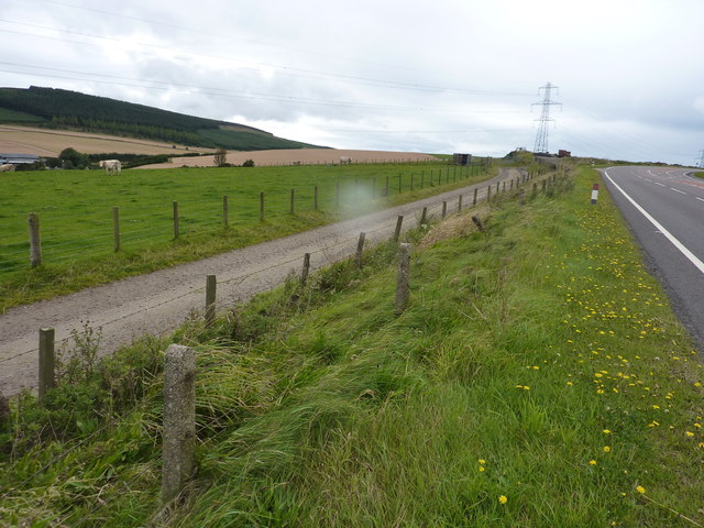
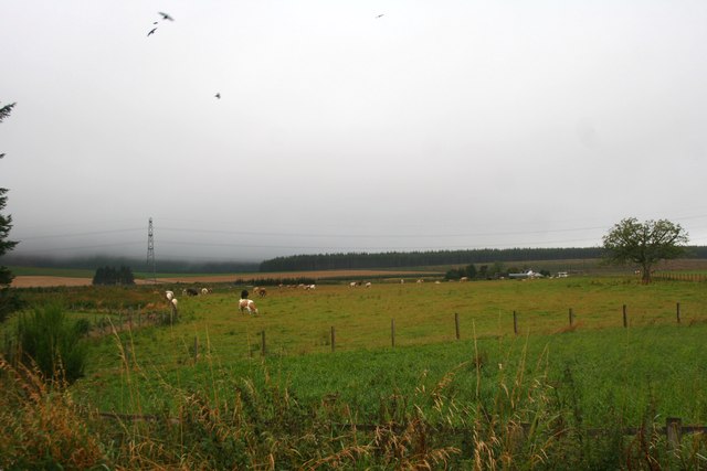
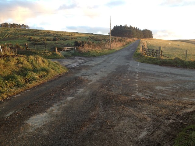
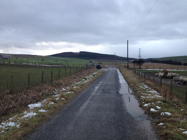
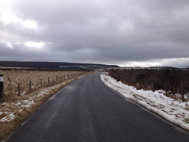
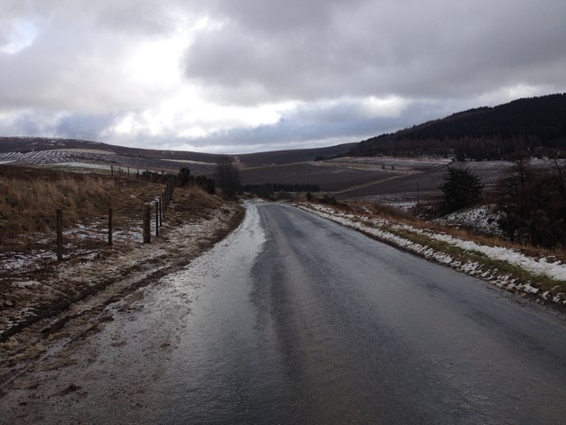
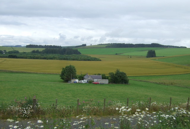
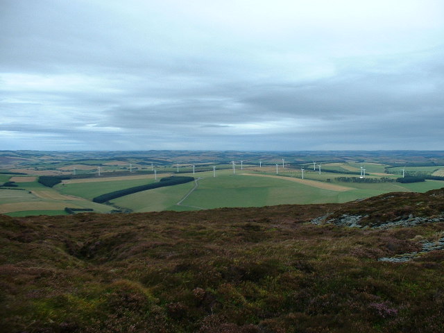
Saddle Hill is a prominent hill located in Aberdeenshire, Scotland. Situated approximately 10 miles southwest of the city of Aberdeen, it is a distinctive landmark in the region. With an elevation of about 1,000 feet (305 meters), Saddle Hill offers breathtaking views of the surrounding countryside, making it a popular destination for hikers and nature enthusiasts.
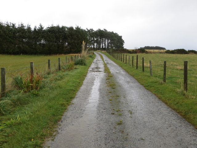
The hill takes its name from its unique saddle-like shape, which is formed by two distinct peaks connected by a gentle, grassy ridge. The western peak, known as Hill of Nigg, is slightly higher than the eastern peak, known as Hill of Fiddes. The saddle ridge itself provides an accessible and scenic path for walkers, offering panoramic vistas of Aberdeenshire's rolling hills and distant coastal views.
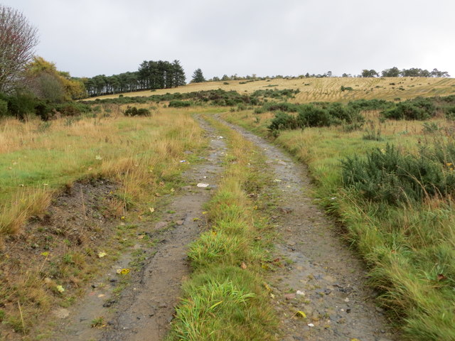
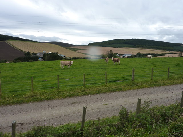
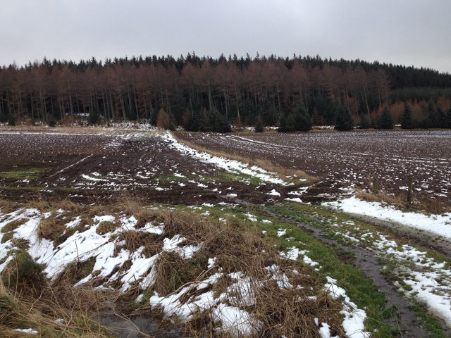
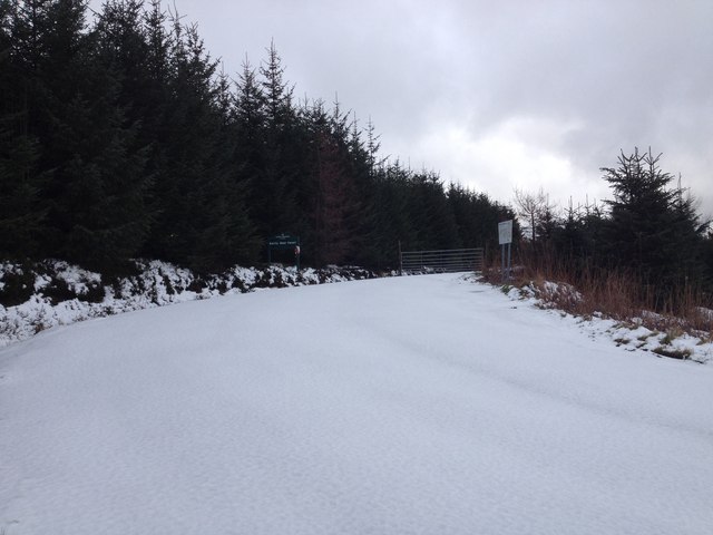
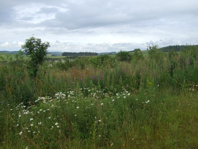
Saddle Hill is characterized by its diverse vegetation, including heather, grasses, and scattered shrubs. The slopes are also home to a variety of wildlife, such as rabbits, hares, and numerous bird species, making it an attractive spot for birdwatchers.
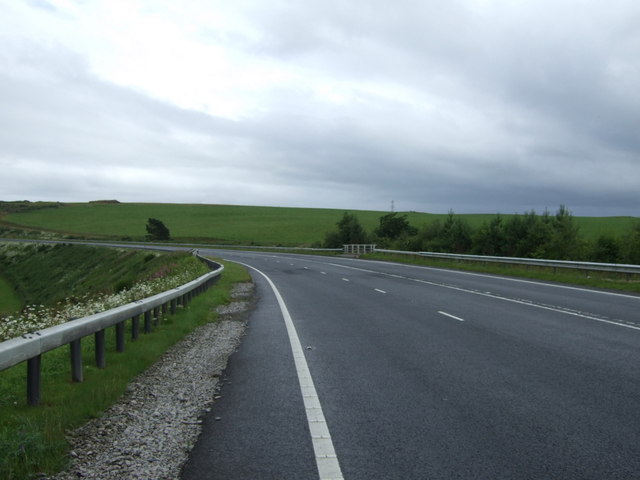
Access to Saddle Hill is relatively straightforward, with several footpaths leading to the summit from nearby villages and roads. The hill is well-maintained and offers a range of routes suitable for different levels of fitness and experience.
Overall, Saddle Hill is a remarkable natural feature of Aberdeenshire, offering visitors a chance to immerse themselves in the beauty of Scotland's countryside while enjoying a rewarding outdoor experience.
If you have any feedback on the listing, please let us know in the comments section below.
Saddle Hill Images
Images are sourced within 2km of 57.402671/-2.7022313 or Grid Reference NJ5734. Thanks to Geograph Open Source API. All images are credited.


Saddle Hill is located at Grid Ref: NJ5734 (Lat: 57.402671, Lng: -2.7022313)
Unitary Authority: Aberdeenshire
Police Authority: North East
What 3 Words
///sprinkler.rounds.evaporate. Near Huntly, Aberdeenshire
Nearby Locations
Related Wikis
Bainshole
Bainshole is a farm in Aberdeenshire, Scotland. == References ==

Battle of Slioch
The Battle of Slioch was a minor skirmish in the First War of Scottish Independence. Although the encounter was inconclusive, the domestic enemies of the...
Brideswell, Aberdeenshire
Brideswell (Scottish Gaelic: Tobar Bhrìde) is a village in Aberdeenshire, Scotland. It is named in honour of Brigid of Ireland.
Backburn
Backburn is a rural settlement near Gartly in Aberdeenshire, Scotland. == References ==

Wardhouse railway station
Wardhouse railway station served the area of Wardhouse, Aberdeenshire, Scotland from 1854 to 1961 on the Great North of Scotland Railway. == History... ==

Drumblade
Drumblade is a hamlet in north-western Aberdeenshire, Scotland, which lies 4¾ miles east of the town of Huntly. == Schools == Drumblade Primary School...
Knichtland Burn
Knichtland Burn is a burn which marks the boundary of the parish of Huntly, Aberdeenshire, Scotland. == References ==
Gartly Castle
Gartly Castle was a 15th-century castle, about 1 mile (1.6 km) north-east of Gartly, Aberdeenshire, Scotland, and 4 miles (6.4 km) south of Huntly, east...
Nearby Amenities
Located within 500m of 57.402671,-2.7022313Have you been to Saddle Hill?
Leave your review of Saddle Hill below (or comments, questions and feedback).