Bracus Hillock

Hill, Mountain in Angus

Scotland

Bracus Hillock

Pylons in Montreathmont Forest Pylons heading north-east through a clearing in Montreathmont Forest.
Pylons in Montreathmont Forest Credit: Scott Cormie

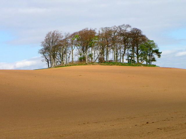
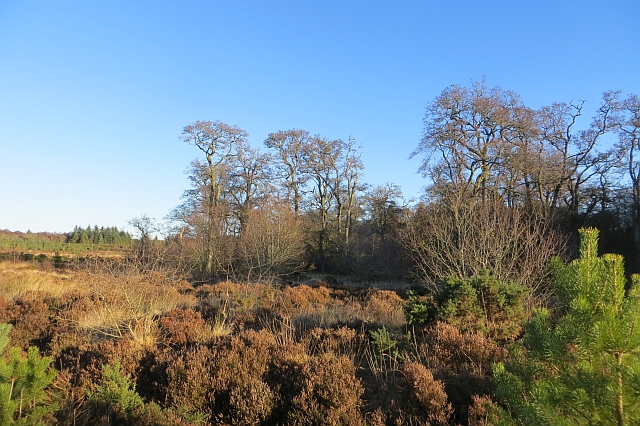
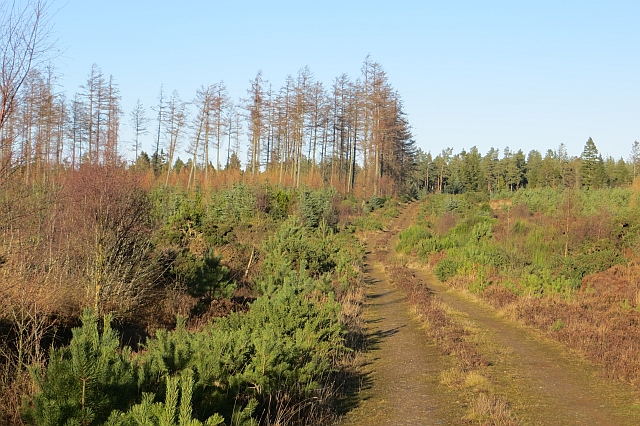
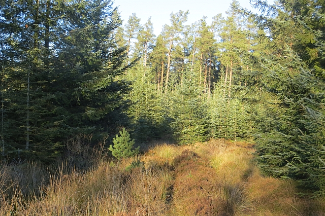
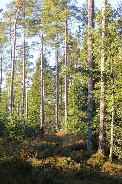
Bracus Hillock, also known as Angus Hill or Mountain, is a prominent geographical feature located in a remote region. Rising majestically above the surrounding landscape, it stands as a testament to the raw beauty of nature. Bracus Hillock is situated at an elevation of approximately 2,500 feet (762 meters) and covers an area of several square miles.

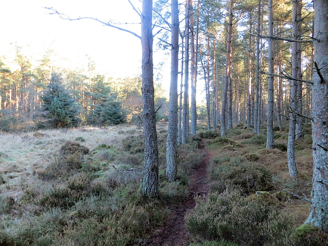
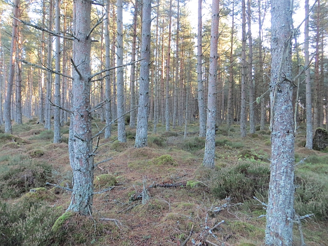
The hill/mountain boasts a striking and rugged terrain, characterized by steep slopes, craggy cliffs, and rocky outcrops. Its formation can be attributed to the gradual accumulation of sedimentary rocks over millions of years, resulting in its distinct layered appearance. The diverse flora and fauna found in the region further enhance its allure, with hardy vegetation clinging to the hillside and providing a habitat for various animal species.

Due to its remote location, Bracus Hillock remains largely untouched by human intervention. Visitors who venture to this natural wonder are greeted with breathtaking panoramic views of the surrounding countryside, including vast expanses of lush greenery, winding rivers, and distant peaks. The hill/mountain also offers numerous hiking trails, enticing outdoor enthusiasts to explore its hidden nooks and crannies.

Bracus Hillock, Angus (Hill, Mountain) serves as a haven for those seeking solitude and tranquility, providing a refuge from the hustle and bustle of modern life. Its unspoiled beauty and awe-inspiring vistas make it a destination worth experiencing for anyone with an appreciation for the wonders of the natural world.

If you have any feedback on the listing, please let us know in the comments section below.

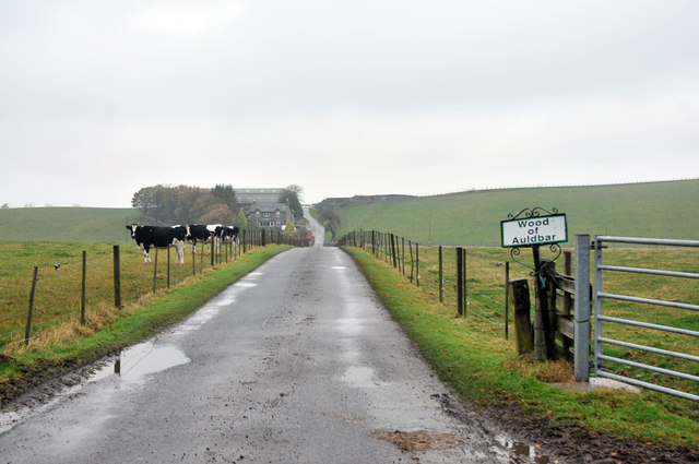
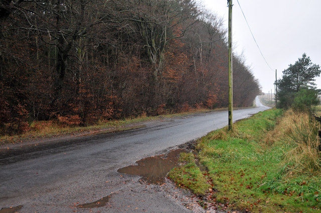
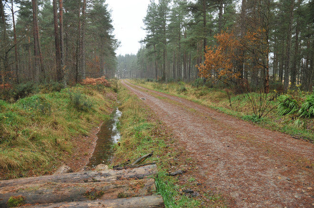
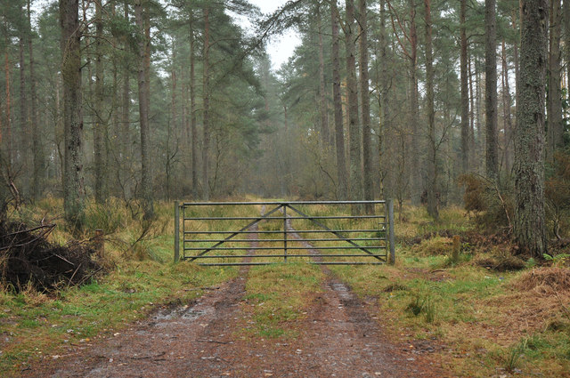
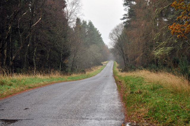
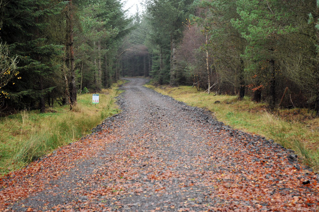
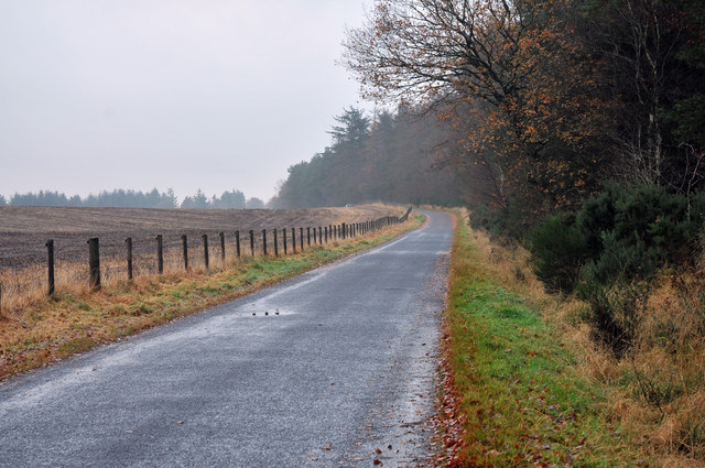
Bracus Hillock Images

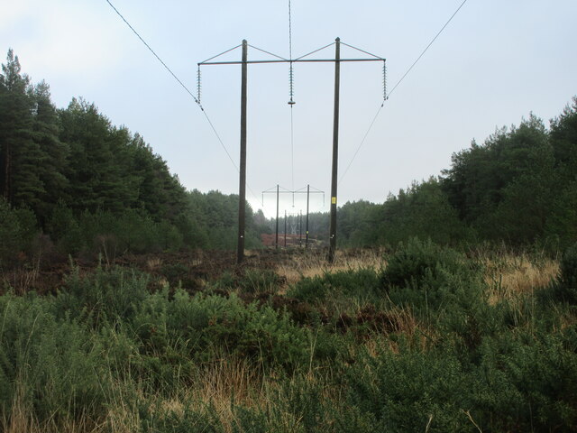
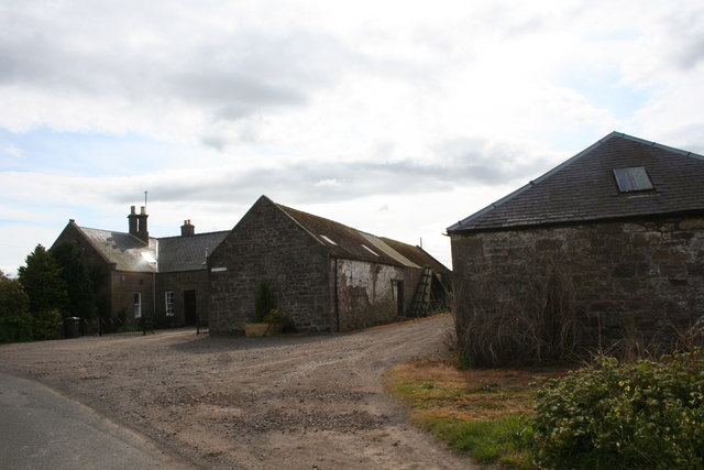
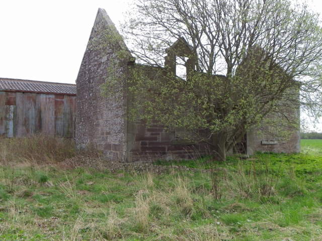
Images are sourced within 2km of 56.687195/-2.6974904 or Grid Reference NO5755. Thanks to Geograph Open Source API. All images are credited.

Pylons in Montreathmont Forest Pylons heading north-east through a clearing in Montreathmont Forest.
Pylons in Montreathmont Forest
Pylons heading north-east through a clearing in Montreathmont Forest.
Muirside of Aldbar The roadside farm of Muisideof Aldbar by Brechin.
Muirside of Aldbar
The roadside farm of Muisideof Aldbar by Brechin.
Bench Mark, Woodend The Ordnance Survey bench mark is on the northeast face of the building.  For a wider view of the building <a href="https://www.geograph.org.uk/photo/2612574">NO5656 : All that's left of Woodend</a> and for further information on the cut mark and others in the area <span class="nowrap"><a title="http://www.bench-marks.org.uk/bm39637" rel="nofollow ugc noopener" href="http://www.bench-marks.org.uk/bm39637">Link</a><img style="margin-left:2px;" alt="External link" title="External link - shift click to open in new window" src="https://s1.geograph.org.uk/img/external.png" width="10" height="10"/></span>
Bench Mark, Woodend
The Ordnance Survey bench mark is on the northeast face of the building. For a wider view of the building NO5656 : All that's left of Woodend and for further information on the cut mark and others in the area LinkExternal link
All that's left of Woodend The steading known as Woodend is in a very ruinous state.  There is an Ordnance Survey cut mark on the northeast wall.
All that's left of Woodend
The steading known as Woodend is in a very ruinous state. There is an Ordnance Survey cut mark on the northeast wall.
Crook Hill At the highest point of Crook Hill are a number of trees.
Crook Hill
At the highest point of Crook Hill are a number of trees.
Farm road to Wood of Auldbar
Minor road at Wood of Auldbar
Forestry road in Montreathmont Forest
Gated forestry track in Montreathmont Forest
Minor road through Montreathmont Forest
Forestry road in Montreathmont Forest
Minor road near Powsoddie
Alder wood, Montreathmont Forest A marshy area of woodland amongst the conifers.
Alder wood, Montreathmont Forest
A marshy area of woodland amongst the conifers.
Track, Montreathmont Forest Lots of young Scots pines in this part of the forest.
Track, Montreathmont Forest
Lots of young Scots pines in this part of the forest.
Path, Montreathmont Forest A wide but wet path continues from the end of the mapped road. The surrounding forest is dense, so the path was very useful.
Path, Montreathmont Forest
A wide but wet path continues from the end of the mapped road. The surrounding forest is dense, so the path was very useful.
Path, Montreathmont Forest A wet path links up mapped roads through Scots pine forest.
Path, Montreathmont Forest
A wet path links up mapped roads through Scots pine forest.
Singletrack, Montreathmont I was very pleased to find this well drained path after taking a speculative detour trying to get into NO5854. Lots of runnable Scots pine forest as well.
Singletrack, Montreathmont
I was very pleased to find this well drained path after taking a speculative detour trying to get into NO5854. Lots of runnable Scots pine forest as well.
Scots pines, Montreathmont Forest Runnable pine woods in the eastern part of the forest which appeared to be more attractive than the Forestry Commission managed western part.
Scots pines, Montreathmont Forest
Runnable pine woods in the eastern part of the forest which appeared to be more attractive than the Forestry Commission managed western part.
Show me another place!

Bracus Hillock is located at Grid Ref: NO5755 (Lat: 56.687195, Lng: -2.6974904)

Unitary Authority: Angus

Police Authority: Tayside

What 3 Words

///skills.ranks.tripods. Near Brechin, Angus

Related Wikis

Ardovie

Ardovie is a settlement on the perimeter of Montreathmont Moor, 3 miles south of Brechin. == References == == See also == Brechin

Melgund Castle

Melgund Castle, lying around two kilometres (1.2 mi) due east of Aberlemno in Angus, Scotland, is a 16th-century L-plan castle which has been partially...

Glasterlaw railway station

Glasterlaw railway station served the area of Glasterlaw, Angus, Scotland from 1848 to 1956 on the Aberdeen Railway. == History == The station opened on...

Guthrie, Angus

Guthrie is a village in Angus, Scotland, roughly at the centre point of the towns of Arbroath, Brechin and Forfar. The principal building in the village...

Nearby Amenities

Located within 500m of 56.687195,-2.6974904
Powsoddie
Place: isolated_dwelling
Lat/Long: 56.6903117/-2.6943849
Westerton of Aldbar
Place: isolated_dwelling
Lat/Long: 56.6913133/-2.6961659
Power: pole
Lat/Long: 56.6911708/-2.6957149
Power: pole
Lat/Long: 56.6911837/-2.6952071
Power: pole
Lat/Long: 56.691211/-2.6942457
The data included in this document is from www.openstreetmap.org. The data is made available under ODbL.

Have you been to Bracus Hillock?

Leave your review of Bracus Hillock below (or comments, questions and feedback).