Cairnconon Hill

Hill, Mountain in Angus

Scotland

Cairnconon Hill

Burnhead Terrace, Redford Looking north-westward.
Burnhead Terrace, Redford Credit: Peter Wood

Cairnconon Hill is a prominent hill located in the county of Angus, Scotland. Situated in the eastern part of the country, it is part of the Grampian Mountains. The hill stands at an elevation of approximately 468 meters (1,535 feet) above sea level, providing breathtaking panoramic views of the surrounding countryside.

Known for its natural beauty and picturesque landscapes, Cairnconon Hill is a popular destination for hikers and nature enthusiasts. The hill is covered in heather and grass, creating a vibrant and colorful scenery, especially during the summer months. The terrain is relatively gentle, making it accessible to both experienced climbers and casual walkers.

At the summit of Cairnconon Hill, there is a cairn, a man-made pile of stones, that serves as a marker and point of interest. It is believed that this cairn has historical significance, potentially dating back to ancient times. The view from the top is truly magnificent, offering sweeping vistas of the Angus Glens, the nearby Montrose Basin, and even the North Sea coastline.

The hill is surrounded by a diverse range of flora and fauna, making it an important habitat for various species. Wildlife such as red deer, mountain hares, and a variety of bird species can often be spotted while exploring the area.

Overall, Cairnconon Hill provides a peaceful escape into nature, offering visitors an opportunity to immerse themselves in the stunning landscapes and enjoy the tranquility of the Scottish countryside.

If you have any feedback on the listing, please let us know in the comments section below.

Cairnconon Hill Images

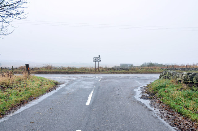
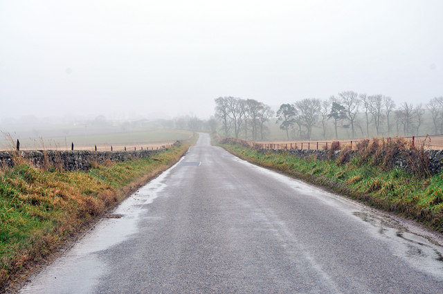
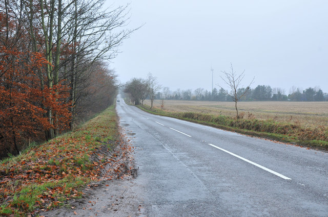
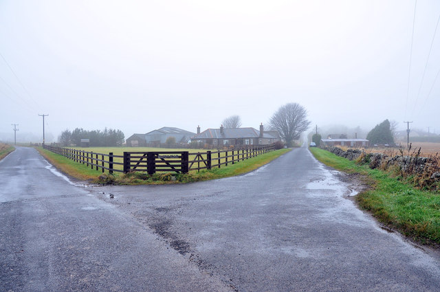
Images are sourced within 2km of 56.597152/-2.7015464 or Grid Reference NO5745. Thanks to Geograph Open Source API. All images are credited.

Burnhead Terrace, Redford Looking north-westward.
Burnhead Terrace, Redford
Looking north-westward.
Road approaching Crofts Looking south-eastward.
Road approaching Crofts
Looking south-eastward.
Road at West Grange of Conon Looking north-westward.
Road at West Grange of Conon
Looking north-westward.
Field edge track between woodland and grain crop Looking south-westward.
Field edge track between woodland and grain crop
Looking south-westward.
Track between woodland and field descending to Cairnconon Looking North-eastward.
Track between woodland and field descending to Cairnconon
Looking North-eastward.
Cairnconon Hill and its associated Triangulation Pillar Looking westward.
Cairnconon Hill and its associated Triangulation Pillar
Looking westward.
Souterrain at Conon A small hole in the roof of the souterrain <span class="nowrap"><a title="https://canmore.org.uk/site/34614/west-grange-of-conon" rel="nofollow ugc noopener" href="https://canmore.org.uk/site/34614/west-grange-of-conon">Link</a><img style="margin-left:2px;" alt="External link" title="External link - shift click to open in new window" src="https://s1.geograph.org.uk/img/external.png" width="10" height="10"/></span>
Souterrain at Conon
A small hole in the roof of the souterrain LinkExternal link
Site of Carmyllie station, 1988 View SW on B961, with the site of the station on the right: terminus of the ex-CR & NBR (Dundee & Arbroath) Joint branch, which ran SE from here to Elliot Junction. The branch was closed to passengers from 2/12/29, but remained for goods until 28/5/65.
Site of Carmyllie station, 1988
View SW on B961, with the site of the station on the right: terminus of the ex-CR & NBR (Dundee & Arbroath) Joint branch, which ran SE from here to Elliot Junction. The branch was closed to passengers from 2/12/29, but remained for goods until 28/5/65.
Road junction near Drumyellow
Minor road near Croftsmuir
Minor road to Redford
Farm track on Cairnconon Hill
Minor road near Grange of Conon
Private road to Grange of Conon
Road to Parkconon Farm
B961 near North Mains of Cononsyth
Road junction near Redford
Road junction at Burnhead
Show me another place!

Cairnconon Hill is located at Grid Ref: NO5745 (Lat: 56.597152, Lng: -2.7015464)

Unitary Authority: Angus

Police Authority: Tayside

What 3 Words

///hurricane.adjusted.cadet. Near Friockheim, Angus

Nearby Locations

Cairnconon Hill

Related Wikis

Carmyllie railway station

Carmyllie railway station served the town of Carmyllie, Angus, Scotland from 1900 to 1965 on the Carmyllie Railway. == History == The station opened on...

Redford, Angus

Redford is a hamlet in the parish of Carmyllie in Angus, Scotland. It is situated on high ground between Arbroath, on the coast, and the inland county...

Denhead railway station

Denhead railway station served the area of Denhead, Angus, Scotland from 1900 to 1929 on the Carmyllie Railway. == History == The station opened on 1 February...

Colliston

Colliston is a roadside hamlet in Angus, Scotland that is four miles north of Arbroath on the A933 Arbroath to Brechin road, in the parish of St Vigeans...

Nearby Amenities

Located within 500m of 56.597152,-2.7015464
Man Made: survey_point
Lat/Long: 56.5984057/-2.7026873
Man Made: tower
Tower Type: communication
Lat/Long: 56.5980921/-2.7034823
Cairnconon Hill
Ele: 183
Natural: peak
Lat/Long: 56.5982435/-2.7030574
Archaeological Site: souterrain
Historic: archaeological_site
Lat/Long: 56.5954925/-2.6967864
Windyedge
Place: isolated_dwelling
Lat/Long: 56.5952326/-2.7086955
Cairnconon
Place: isolated_dwelling
Lat/Long: 56.598333/-2.6993883
Power: pole
Lat/Long: 56.595463/-2.7090133
Power: pole
Lat/Long: 56.5960194/-2.7089884
Power: pole
Lat/Long: 56.5965808/-2.7089704
Power: pole
Lat/Long: 56.5970899/-2.7089636
Power: pole
Lat/Long: 56.5976886/-2.7089523
Power: pole
Lat/Long: 56.5982836/-2.708959
Power: pole
Lat/Long: 56.5988449/-2.7089794
The data included in this document is from www.openstreetmap.org. The data is made available under ODbL.

Have you been to Cairnconon Hill?

Leave your review of Cairnconon Hill below (or comments, questions and feedback).