Beacon Fell
Hill, Mountain in Lancashire Preston
England
Beacon Fell

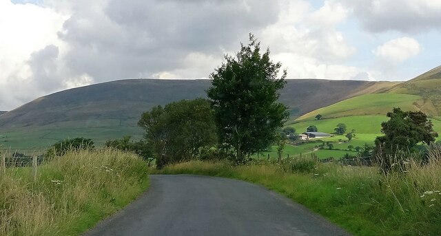
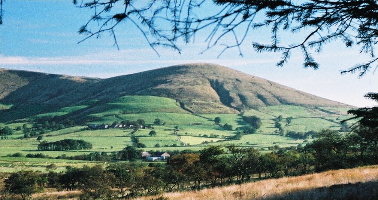
Beacon Fell is a notable hill located in the county of Lancashire, England. Situated near the village of Goosnargh, it forms part of the Forest of Bowland Area of Outstanding Natural Beauty. Rising to a height of 266 meters (873 feet) above sea level, Beacon Fell offers breathtaking panoramic views of the surrounding landscape.
The hill is primarily composed of sandstone and provides a diverse habitat for a variety of flora and fauna. It is renowned for its rich biodiversity and is home to several rare species of plants and animals. The area is covered with woodlands, heathland, and open grasslands, making it an ideal spot for nature enthusiasts and walkers.
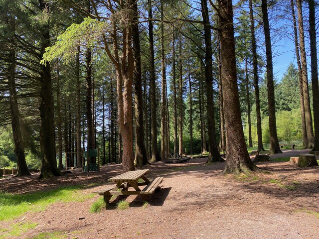
There are numerous walking trails throughout the hill, ranging from easy strolls to more challenging hikes, catering to visitors of all abilities. One of the most popular routes is the Beacon Fell Summit Trail, which takes walkers to the top of the hill and rewards them with stunning views of the Lancashire countryside.
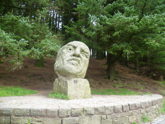
Additionally, Beacon Fell offers several recreational facilities for visitors to enjoy. There is a visitor center with a café and picnic area, providing a perfect spot to relax and take in the beautiful surroundings. The hill also has a children's play area, making it an ideal destination for families.
Overall, Beacon Fell is a picturesque hill in Lancashire that offers a delightful mix of natural beauty, wildlife, and recreational opportunities. Whether it's a peaceful walk, a family outing, or a chance to immerse oneself in nature, Beacon Fell has something to offer everyone.
If you have any feedback on the listing, please let us know in the comments section below.
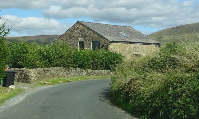
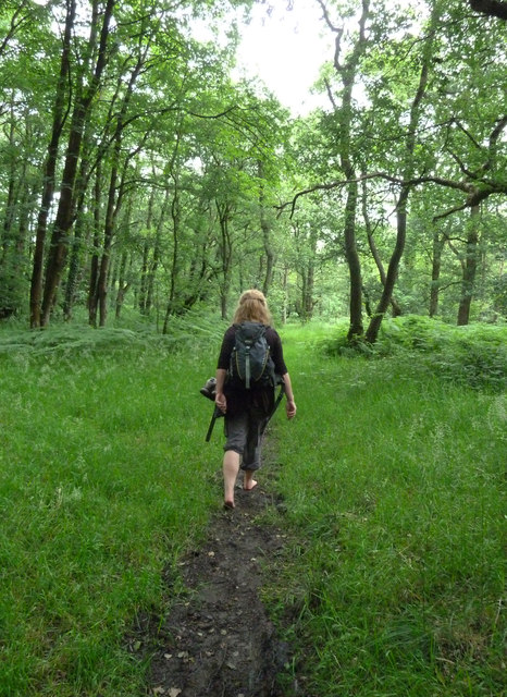
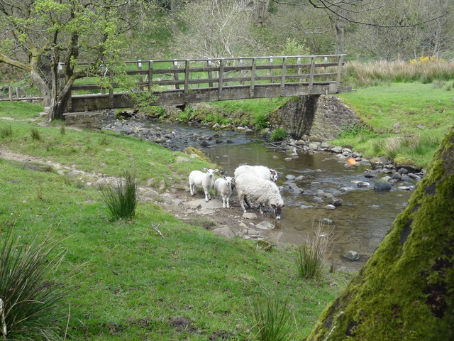
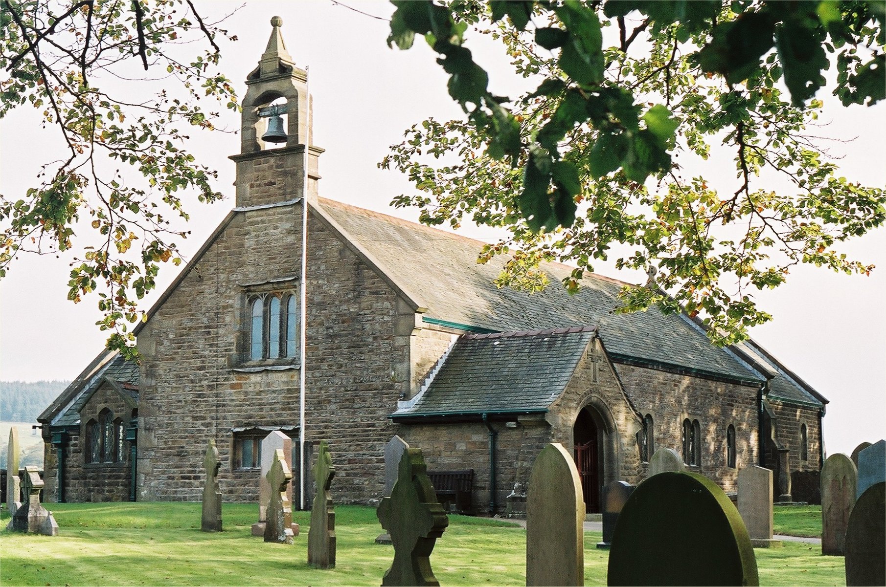
Beacon Fell Images
Images are sourced within 2km of 53.879901/-2.6584252 or Grid Reference SD5642. Thanks to Geograph Open Source API. All images are credited.


Beacon Fell is located at Grid Ref: SD5642 (Lat: 53.879901, Lng: -2.6584252)
Administrative County: Lancashire
District: Preston
Police Authority: Lancashire
What 3 Words
///prowling.signified.magnum. Near Longridge, Lancashire
Nearby Locations
Related Wikis
Beacon Fell, Lancashire
Beacon Fell is a fell in the civil parish of Goosnargh in Lancashire, England. The high ground, which rises to 266 m (873 ft), has been a country park...
Whitechapel, Lancashire
Whitechapel is a tiny hamlet in the civil parish of Goosnargh in Lancashire, England. It lies on the border of the Forest of Bowland near the foot of Beacon...

Bowland Forest Gliding Club
Bowland Forest Gliding Club is a British gliding club near the village of Chipping, Lancashire. It was formed as the Blackpool and Fylde Gliding Club in...

Bleasdale
Bleasdale is a village and civil parish in the Wyre district of Lancashire, England, in the Forest of Bowland Area of Outstanding Natural Beauty. The two...
Parlick
Parlick (also known as Parlick Pike) is an approximately cone-shaped steep-sided hill at the extreme south of the main range of Bowland fells in Lancashire...
Inglewhite
Inglewhite is a small village in the parish of Goosnargh in Lancashire, England. It lies at the intersection of the roads from Longridge to Garstang and...
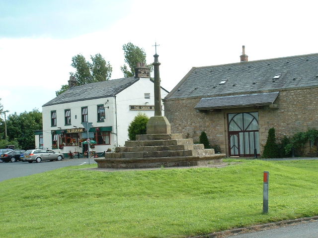
The Green Man at Inglewhite
The Green Man at Inglewhite is a public house in Inglewhite, Lancashire, England. The pub, which was established in 1809, has been owned since January...

Inglewhite Congregational Church
Inglewhite Congregational Church is a church building located in the English village of Inglewhite, Lancashire. A Grade II listed building, it was constructed...
Nearby Amenities
Located within 500m of 53.879901,-2.6584252Have you been to Beacon Fell?
Leave your review of Beacon Fell below (or comments, questions and feedback).