Inkersall
Settlement in Derbyshire Chesterfield
England
Inkersall
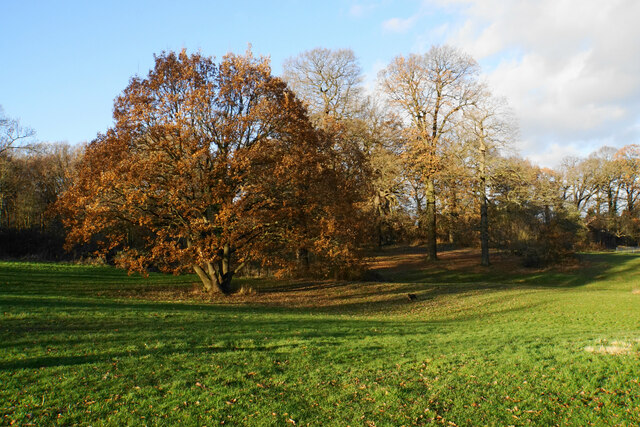
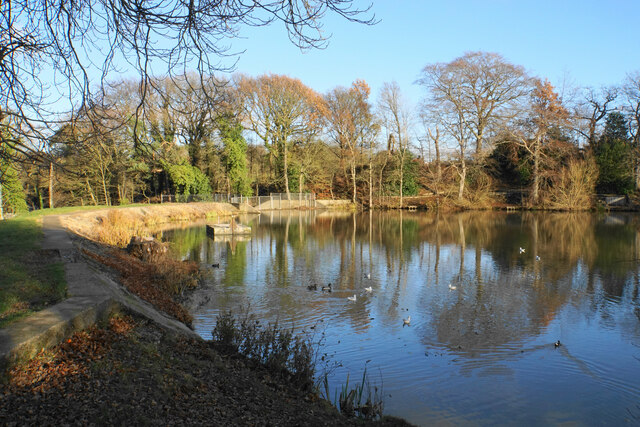
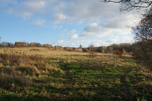
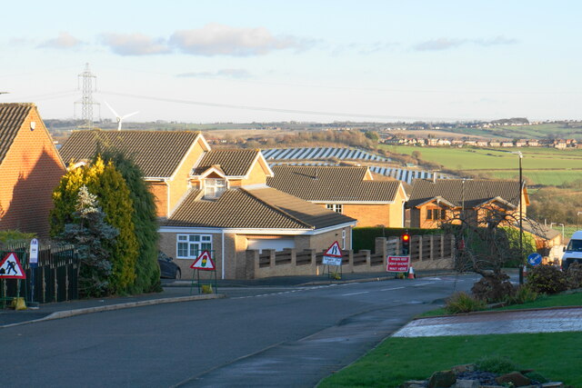
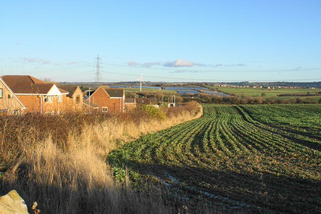
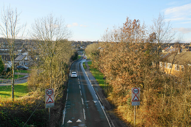
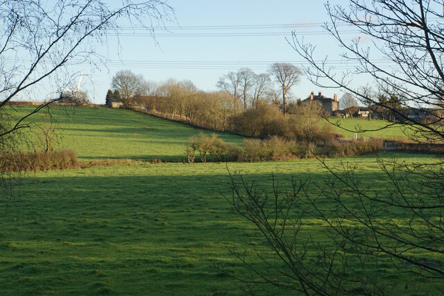
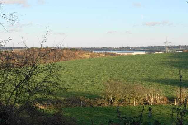
Inkersall is a small village located in the county of Derbyshire in England. Situated approximately 3 miles to the east of Chesterfield, Inkersall falls within the administrative boundaries of Chesterfield Borough Council. The village is nestled in the picturesque countryside of Derbyshire, with rolling hills and green fields surrounding it.
Inkersall has a population of around 3,500 residents, making it a close-knit community. The village is primarily residential, with a mix of housing styles including traditional cottages and more modern developments. The main road through the village is the A632, which connects Inkersall to nearby towns and villages.
The village boasts a range of amenities to cater to the needs of its residents. These include a primary school, a community center, a village hall, and a small shopping precinct. Inkersall is also home to a number of local businesses, providing services such as grocery stores, hair salons, and takeaways.
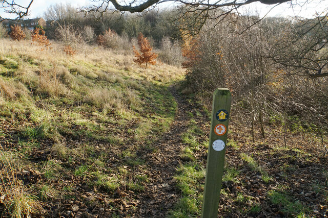
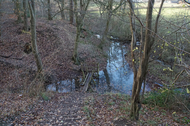
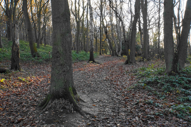
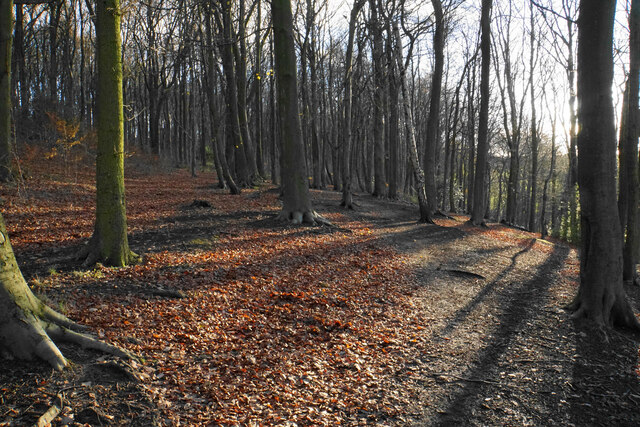
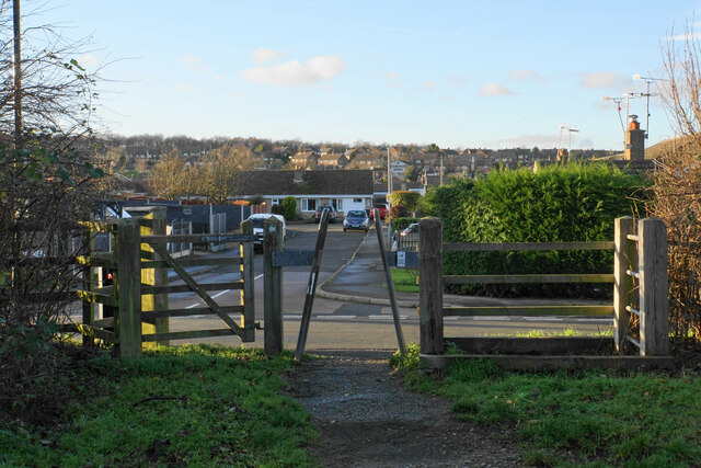
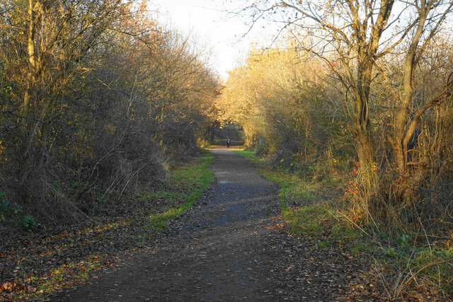
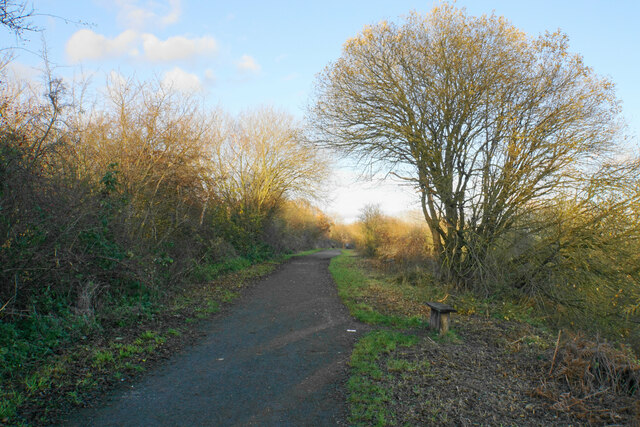
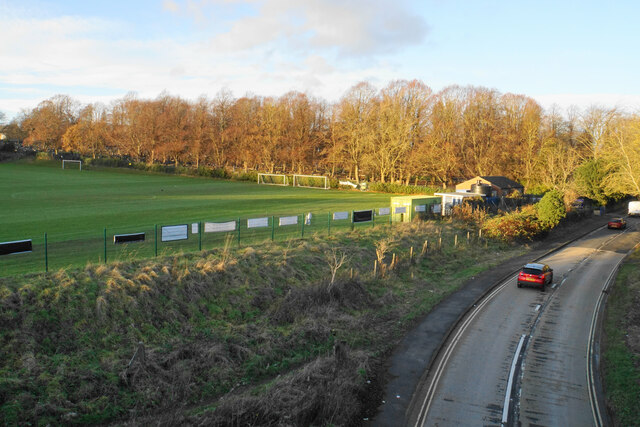
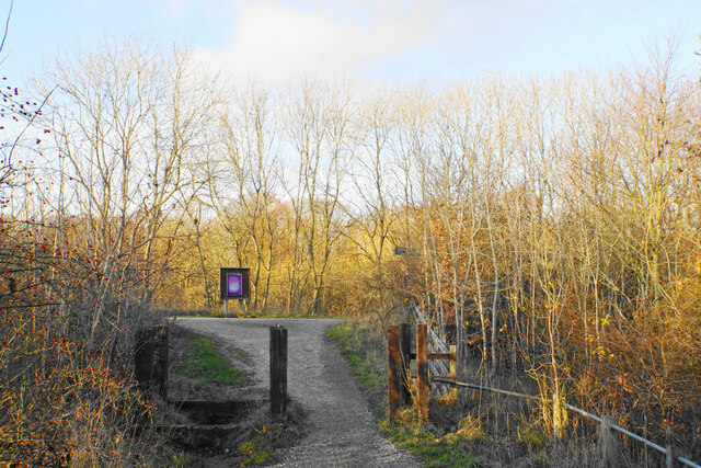
For outdoor enthusiasts, there are several green spaces and parks in and around Inkersall, offering opportunities for leisurely walks and picnics. The village is also well-connected to the surrounding countryside, making it a popular base for those looking to explore the nearby Peak District National Park.
Overall, Inkersall offers a peaceful and picturesque setting for residents, with its close proximity to Chesterfield providing access to a wider range of amenities and transport links.
If you have any feedback on the listing, please let us know in the comments section below.
Inkersall Images
Images are sourced within 2km of 53.248859/-1.359269 or Grid Reference SK4272. Thanks to Geograph Open Source API. All images are credited.
Inkersall is located at Grid Ref: SK4272 (Lat: 53.248859, Lng: -1.359269)
Administrative County: Derbyshire
District: Chesterfield
Police Authority: Derbyshire
What 3 Words
///bungalows.bongo.script. Near Staveley, Derbyshire
Nearby Locations
Related Wikis

Springwell Community College
Springwell Community College (formerly Springwell Community School) is a coeducational secondary school located in Staveley, Derbyshire, England. It is...

Inkersall
Inkersall and Inkersall Green (informally referred to by local residents as Inky) are areas of settlement in Derbyshire, England. They are located south...
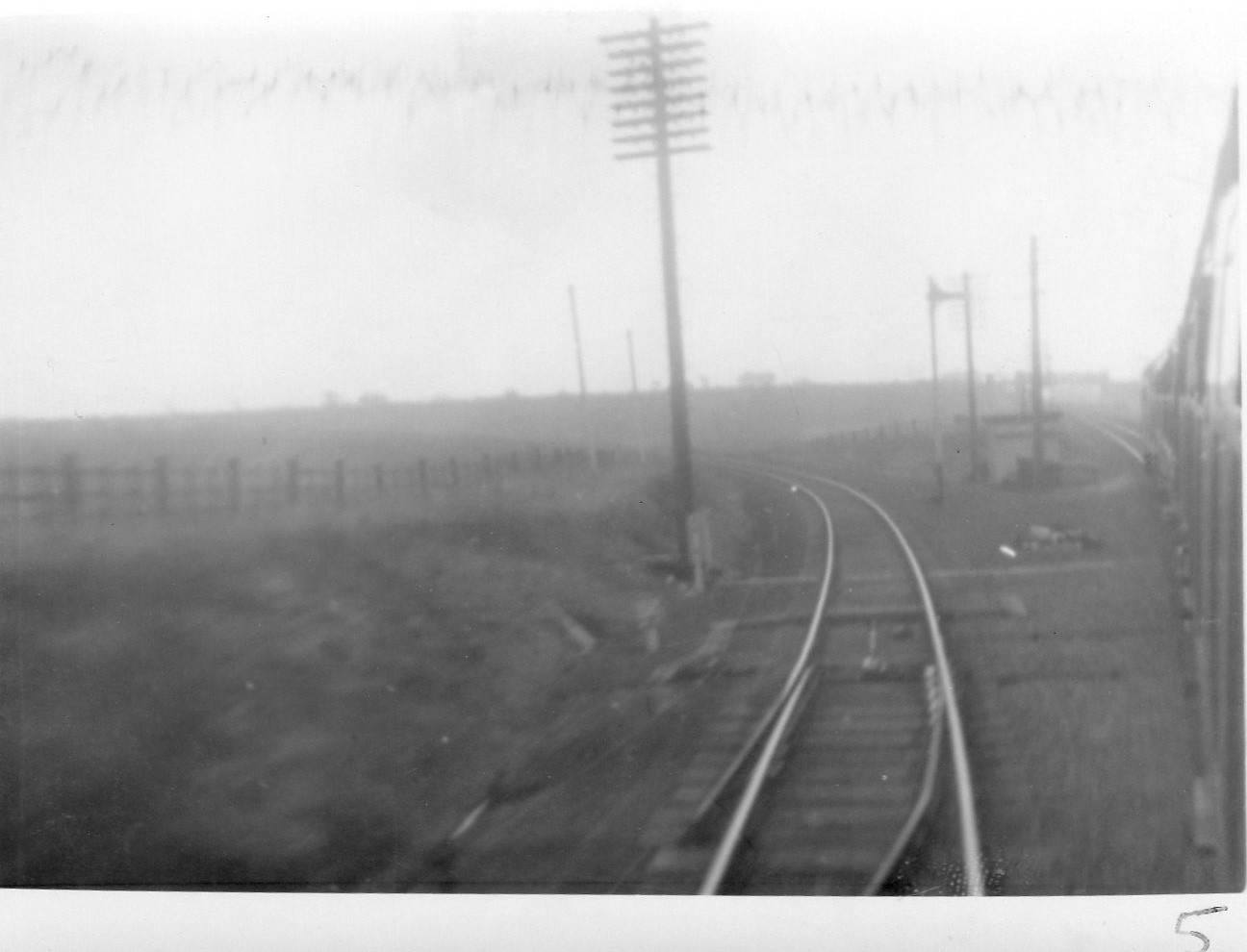
Duckmanton North Junction
Duckmanton North Junction is a former railway junction near Arkwright Town in Derbyshire, England. == Context == Duckmanton North Junction was one of four...
Duckmanton East Junction
Duckmanton East Junction is a former railway junction near Arkwright Town in Derbyshire, England. == Context == Duckmanton East Junction was one of four...
Nearby Amenities
Located within 500m of 53.248859,-1.359269Have you been to Inkersall?
Leave your review of Inkersall below (or comments, questions and feedback).