Hanley Hill

Hill, Mountain in Gloucestershire Forest of Dean

England

Hanley Hill

High stone wall, Tidenham, Gloucestershire The northern perimeter wall of St Mary & St Peter's churchyard in the Church of England Diocese of Gloucester.
High stone wall, Tidenham, Gloucestershire Credit: Jaggery

Hanley Hill is a picturesque hill located in the county of Gloucestershire, England. With an elevation of approximately 200 meters, it is classified as a hill rather than a mountain. Hanley Hill is situated near the village of Hanley Castle, which lies about four miles southeast of the town of Upton-upon-Severn.

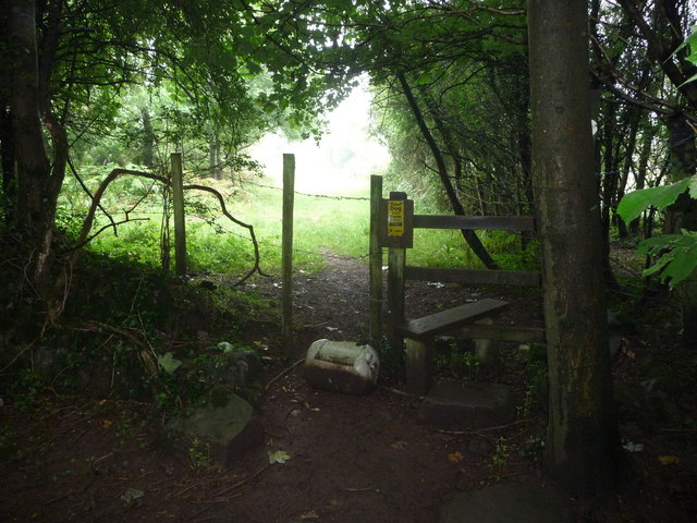
The hill is covered by lush greenery, offering stunning panoramic views of the surrounding countryside. It is mostly composed of rolling grasslands and scattered woodland, creating a diverse and rich ecosystem. The hill is a popular spot for outdoor enthusiasts, attracting hikers, nature lovers, and photographers.

Hanley Hill is also home to a variety of wildlife, including rabbits, foxes, and various species of birds. The area is especially known for its birdwatching opportunities, with sightings of buzzards, kestrels, and woodpeckers being relatively common.

At the foot of Hanley Hill, there is a small car park where visitors can leave their vehicles before embarking on one of the several walking trails that crisscross the area. These trails vary in length and difficulty, providing options for both casual strollers and more experienced hikers.

Overall, Hanley Hill is a beautiful natural landmark in Gloucestershire, offering a peaceful escape from the hustle and bustle of everyday life. With its stunning views, diverse wildlife, and walking trails, it is a must-visit destination for those seeking a tranquil outdoor experience.

If you have any feedback on the listing, please let us know in the comments section below.
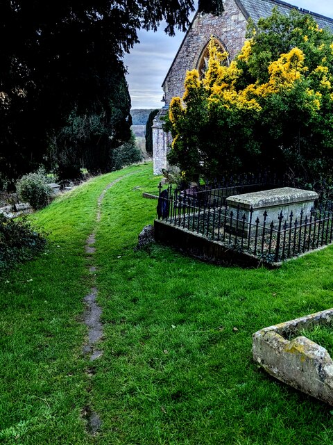
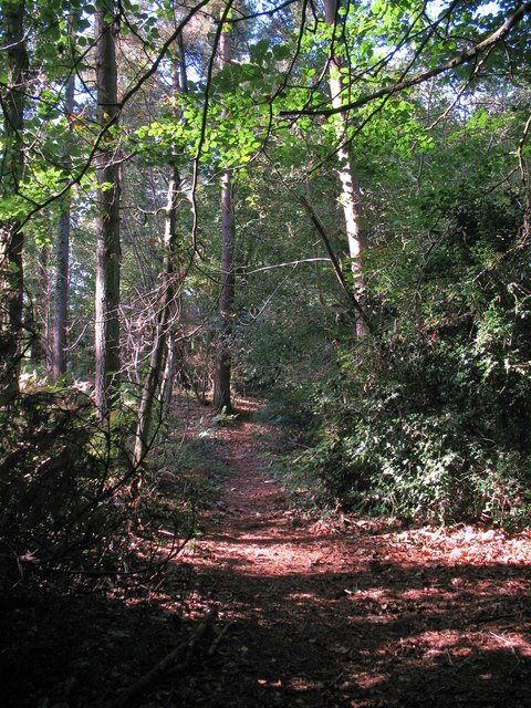
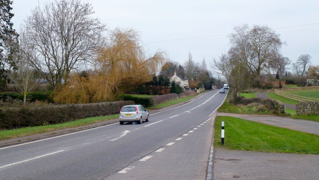
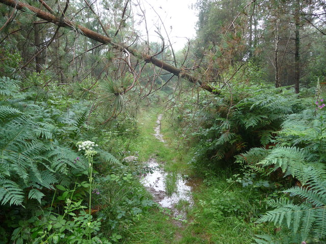
Hanley Hill Images

Images are sourced within 2km of 51.665714/-2.6278076 or Grid Reference ST5696. Thanks to Geograph Open Source API. All images are credited.

High stone wall, Tidenham, Gloucestershire The northern perimeter wall of St Mary & St Peter's churchyard in the Church of England Diocese of Gloucester.
High stone wall, Tidenham, Gloucestershire
The northern perimeter wall of St Mary & St Peter's churchyard in the Church of England Diocese of Gloucester.
NW side of the church, Tidenham, Gloucestershire St Mary & St Peter in the Church of England Diocese of Gloucester has 13th and 14th century origins. 
It was extensively restored in 1858. Grade II (Star) Listed in 1954.
NW side of the church, Tidenham, Gloucestershire
St Mary & St Peter in the Church of England Diocese of Gloucester has 13th and 14th century origins. It was extensively restored in 1858. Grade II (Star) Listed in 1954.
Churchyard exit gates, Tidenham, Gloucestershire At a minor exit from St Mary & St Peter's churchyard in the Church of England Diocese of Gloucester.
Churchyard exit gates, Tidenham, Gloucestershire
At a minor exit from St Mary & St Peter's churchyard in the Church of England Diocese of Gloucester.
Track between wall and hedge, Tidenham, Gloucestershire Viewed from these <a title="https://www.geograph.org.uk/photo/7691725" href="https://www.geograph.org.uk/photo/7691725">Link</a> churchyard exit gates.
Track between wall and hedge, Tidenham, Gloucestershire
Viewed from these Link churchyard exit gates.
Track through grass, Tidenham, Gloucestershire In St Mary & St Peter's churchyard.
Track through grass, Tidenham, Gloucestershire
In St Mary & St Peter's churchyard.
Towards the church porch, Tidenham, Gloucestershire Towards the entrance to St Mary & St Peter's Church in the Church of England Diocese of Gloucester.
Towards the church porch, Tidenham, Gloucestershire
Towards the entrance to St Mary & St Peter's Church in the Church of England Diocese of Gloucester.
Down steep steps, Tidenham, Gloucestershire Steps descend towards an exit from St Mary & St Peter's churchyard.
Down steep steps, Tidenham, Gloucestershire
Steps descend towards an exit from St Mary & St Peter's churchyard.
Church clock, Tidenham, Gloucestershire In the tower of St Mary & St Peter's Church.
Church clock, Tidenham, Gloucestershire
In the tower of St Mary & St Peter's Church.
Building with tiled roof, Tidenham, Gloucestershire Single-storey building near a perimeter wall of St Mary & St Peter's churchyard.
Building with tiled roof, Tidenham, Gloucestershire
Single-storey building near a perimeter wall of St Mary & St Peter's churchyard.
SW side of the church, Tidenham, Gloucestershire St Mary & St Peter in the Church of England Diocese of Gloucester has 13th and 14th century origins. 
It was extensively restored in 1858. Grade II (Star) Listed in 1954.
SW side of the church, Tidenham, Gloucestershire
St Mary & St Peter in the Church of England Diocese of Gloucester has 13th and 14th century origins. It was extensively restored in 1858. Grade II (Star) Listed in 1954.
Lane descending towards Tidenham Lane, Tidenham A perimeter wall of St Mary & St Peter's churchyard is on the left.
Lane descending towards Tidenham Lane, Tidenham
A perimeter wall of St Mary & St Peter's churchyard is on the left.
Old water pump, Tidenham, Gloucestershire Alongside Tidenham Lane. Historic England records 

"Pump, cistern at street level with stone surround. C19. Cast iron cylinder
c300 mm diameter, with spout, on quadrilobe cast iron support, c1 metre high 
overall, set on area of stone paving surrounding a roughly trapezoidal sunken 
well or cistern c2 m x 1.5 m. The cistern is filled by a flow of spring water 
emerging from the adjacent churchyard wall"

The pump was Grade II Listed in 1988. <a title="https://www.geograph.org.uk/photo/7692474" href="https://www.geograph.org.uk/photo/7692474">Link</a> to a closer view.
Old water pump, Tidenham, Gloucestershire
Alongside Tidenham Lane. Historic England records "Pump, cistern at street level with stone surround. C19. Cast iron cylinder c300 mm diameter, with spout, on quadrilobe cast iron support, c1 metre high overall, set on area of stone paving surrounding a roughly trapezoidal sunken well or cistern c2 m x 1.5 m. The cistern is filled by a flow of spring water emerging from the adjacent churchyard wall" The pump was Grade II Listed in 1988. Link to a closer view.
Grade II Listed old water pump detail, Tidenham, Gloucestershire <a title="https://www.geograph.org.uk/photo/7692466" href="https://www.geograph.org.uk/photo/7692466">Link</a> to a broader view and some details.
Grade II Listed old water pump detail, Tidenham, Gloucestershire
Link to a broader view and some details.
South side of the churchyard, Tidenham, Gloucestershire A small part of St Mary & St Peter's churchyard in the Church of England Diocese of Gloucester.
South side of the churchyard, Tidenham, Gloucestershire
A small part of St Mary & St Peter's churchyard in the Church of England Diocese of Gloucester.
Path through Parson's Allotment Public footpath passing through mixed woodland.
Path through Parson's Allotment
Public footpath passing through mixed woodland.
A48 at Stroat Looking north-east towards Lydney and Gloucester.
A48 at Stroat
Looking north-east towards Lydney and Gloucester.
Woodland path through Parson's Allotment Soggy, slippery path after a night of rain, made trickier by the odd obstacle.
Woodland path through Parson's Allotment
Soggy, slippery path after a night of rain, made trickier by the odd obstacle.
Woodland stile The stile gets me out of the woods. Great.
Woodland stile
The stile gets me out of the woods. Great.
Show me another place!

Hanley Hill is located at Grid Ref: ST5696 (Lat: 51.665714, Lng: -2.6278076)

Administrative County: Gloucestershire

District: Forest of Dean

Police Authority: Gloucestershire

What 3 Words

///greyhound.slacker.ashes. Near Chepstow, Monmouthshire

Nearby Locations

Hanley Hill

Related Wikis

Tidenham

Tidenham () is a village and civil parish in the Forest of Dean of west Gloucestershire, England, adjoining the Welsh border. Tidenham is bounded by the...

Church of St Mary and St Peter, Tidenham

The Church of St Mary and St Peter, Tidenham, is a parish church of the Diocese of Gloucester, England. It dates from the 13th and 14th centuries, and...

Boughspring

Boughspring is a hamlet in Gloucestershire, England. == History == Settlement at Boughspring dates back to Roman times when a villa was built nearby. Boughspring...

Netherhope Halt railway station

Netherhope Halt was a railway station on the former Wye Valley Railway. It was opened in 1932 and closed in 1959; it was demolished soon afterwards....

Nearby Amenities

Located within 500m of 51.665714,-2.6278076
Source: PGS
Lat/Long: 51.6622678/-2.6242875
Source: PGS
Lat/Long: 51.662369/-2.6240894
Source: PGS
Lat/Long: 51.6633491/-2.6226558
Source: PGS
Lat/Long: 51.6636838/-2.6221341
Source: PGS
Lat/Long: 51.6639013/-2.6217247
Source: Landsat photo
Lat/Long: 51.6618788/-2.6280256
Noexit: yes
Lat/Long: 51.6641649/-2.6333347
Bus Stop
Hanley Lane
Bench: no
Bin: no
Lit: no
Naptan AtcoCode: 1600GLF245
Naptan Bearing: SW
Naptan CommonName: Hanley Lane
Naptan Indicator: Opp
Naptan NaptanCode: gloadmdt
Naptan Street: A48
Naptan Verified: no
Shelter: no
Source: naptan_import
Tactile Paving: no
Lat/Long: 51.6688653/-2.6283937
Bus Stop
Hanley Lane
Bench: no
Bin: no
Lit: no
Naptan AtcoCode: 1600GLF246
Naptan Bearing: NE
Naptan CommonName: Hanley Lane
Naptan NaptanCode: gloadmdp
Naptan Street: A48
Naptan Verified: no
Shelter: no
Source: naptan_import
Tactile Paving: no
Lat/Long: 51.669054/-2.6284253
Hanley Farm Shop
Addr City: Chepstow
Addr Postcode: NP16 7NA
Shop: greengrocer
Lat/Long: 51.6681265/-2.6298487
Cafe
The Hanley Kitchen
Lat/Long: 51.668209/-2.6302646
Source: PGS
Lat/Long: 51.6615324/-2.6258005
Charging Station
Capacity: 2
Car: yes
Lat/Long: 51.6678655/-2.6300899
The data included in this document is from www.openstreetmap.org. The data is made available under ODbL.

Have you been to Hanley Hill?

Leave your review of Hanley Hill below (or comments, questions and feedback).