Dark Hill

Hill, Mountain in Gloucestershire Forest of Dean

England

Dark Hill

B4228 at Ghyll House Farm
B4228 at Ghyll House Farm Credit: Colin Pyle

Dark Hill is a prominent hill located in Gloucestershire, England. It is situated approximately 6 miles northwest of the town of Stroud, within the Cotswold Area of Outstanding Natural Beauty. Rising to an elevation of around 317 meters (1,040 feet), Dark Hill offers breathtaking views of the surrounding countryside.

The hill is characterized by its dense woodland, predominantly consisting of beech trees. These trees create a striking contrast against the lush green fields that stretch out below. Dark Hill is a haven for wildlife, attracting a diverse range of species, including various birds, mammals, and insects.

A network of footpaths and trails crisscross the hill, allowing visitors to explore its beauty. Hiking to the summit is a popular activity, providing a challenging yet rewarding ascent. On clear days, the view from the top extends for miles, encompassing the rolling hills and picturesque villages of Gloucestershire.

Dark Hill is also steeped in historical significance. It is believed that the name "Dark Hill" derives from the Old English word "dorc," meaning "dark" or "gloomy," alluding to the hill's dense woodland. The site has evidence of ancient settlements and burial mounds, indicating human occupation since prehistoric times.

Overall, Dark Hill in Gloucestershire offers a captivating blend of natural beauty, recreational opportunities, and historical intrigue. It is a cherished destination for nature enthusiasts, hikers, and those seeking a tranquil escape in the heart of the English countryside.

If you have any feedback on the listing, please let us know in the comments section below.
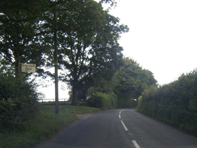
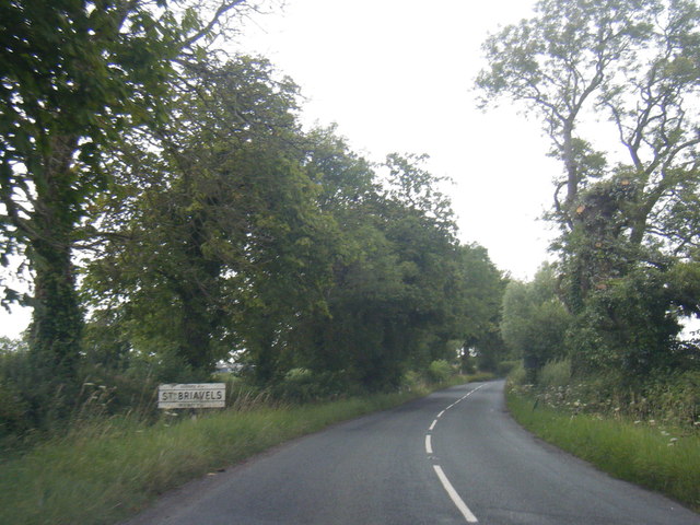
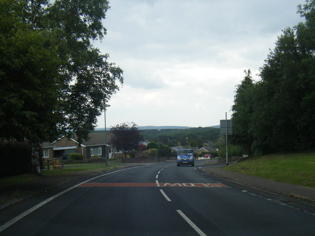
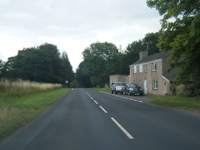
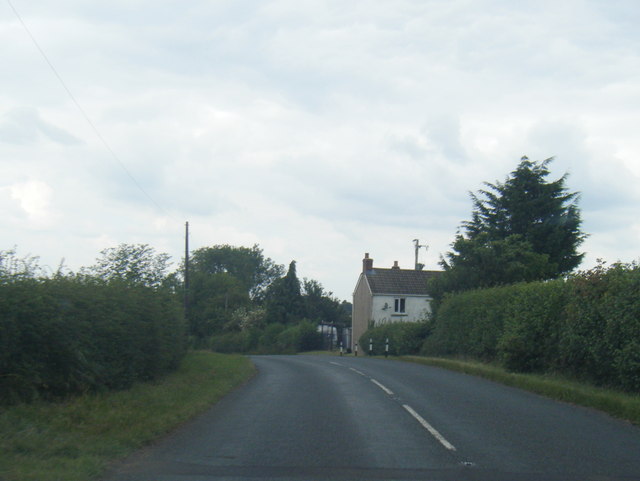
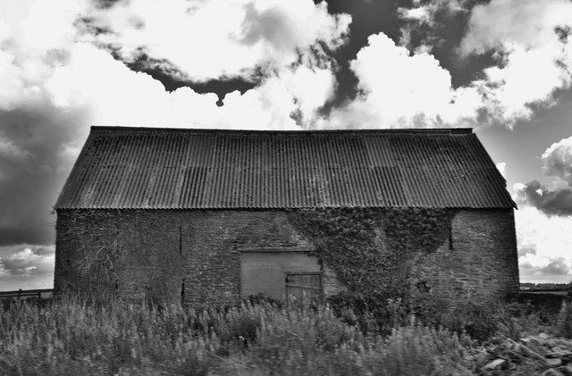
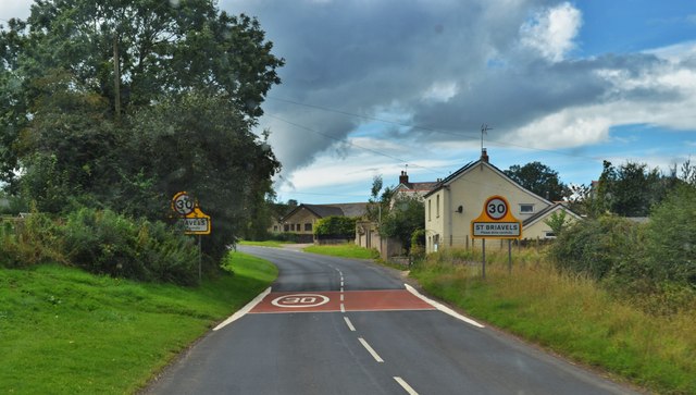
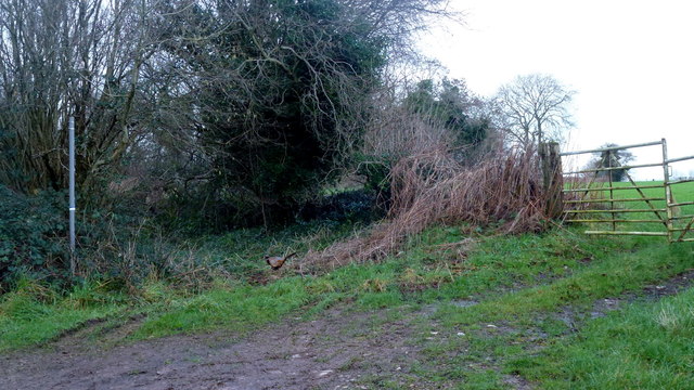
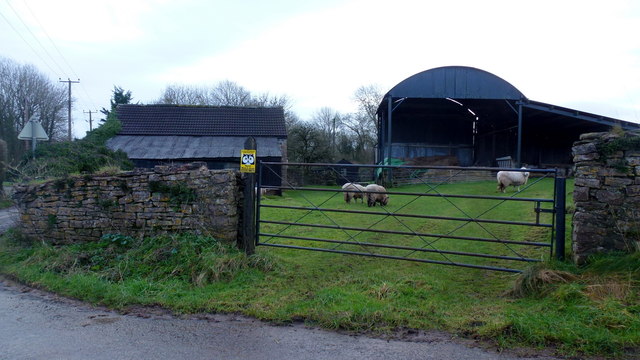
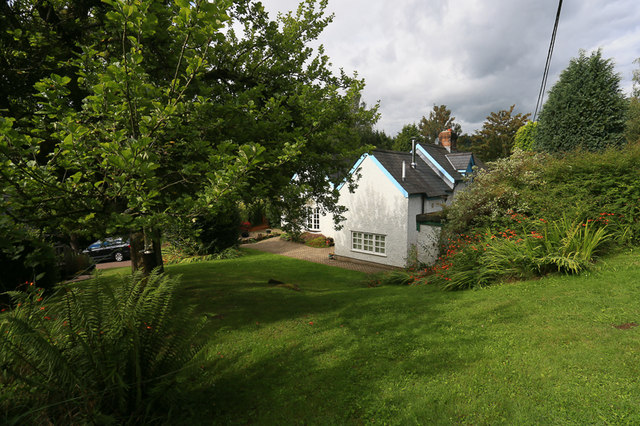
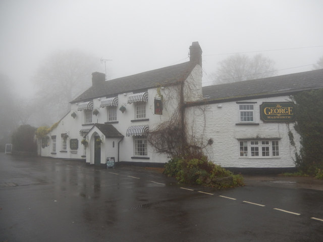
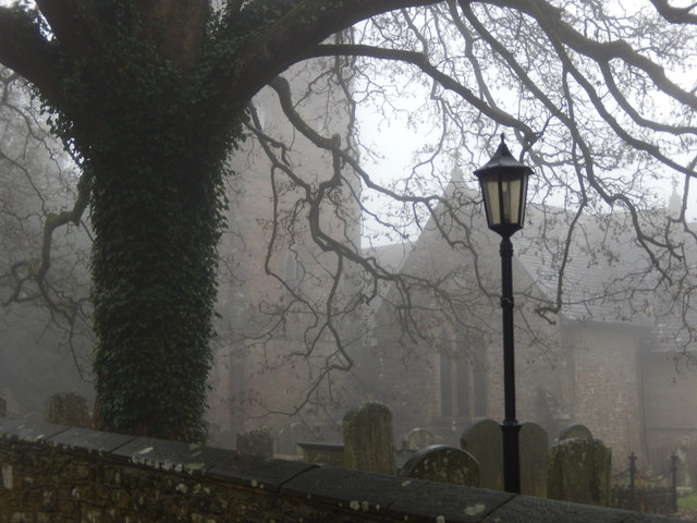
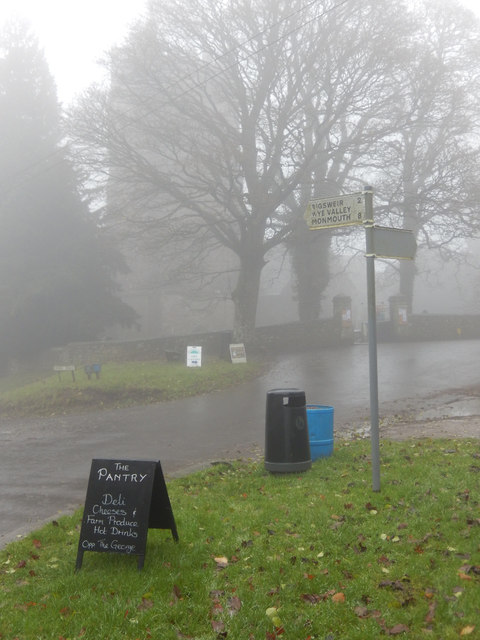
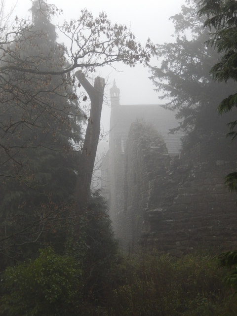
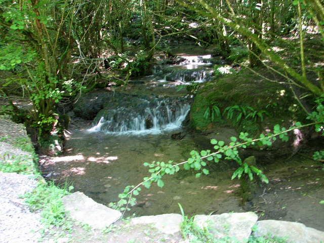
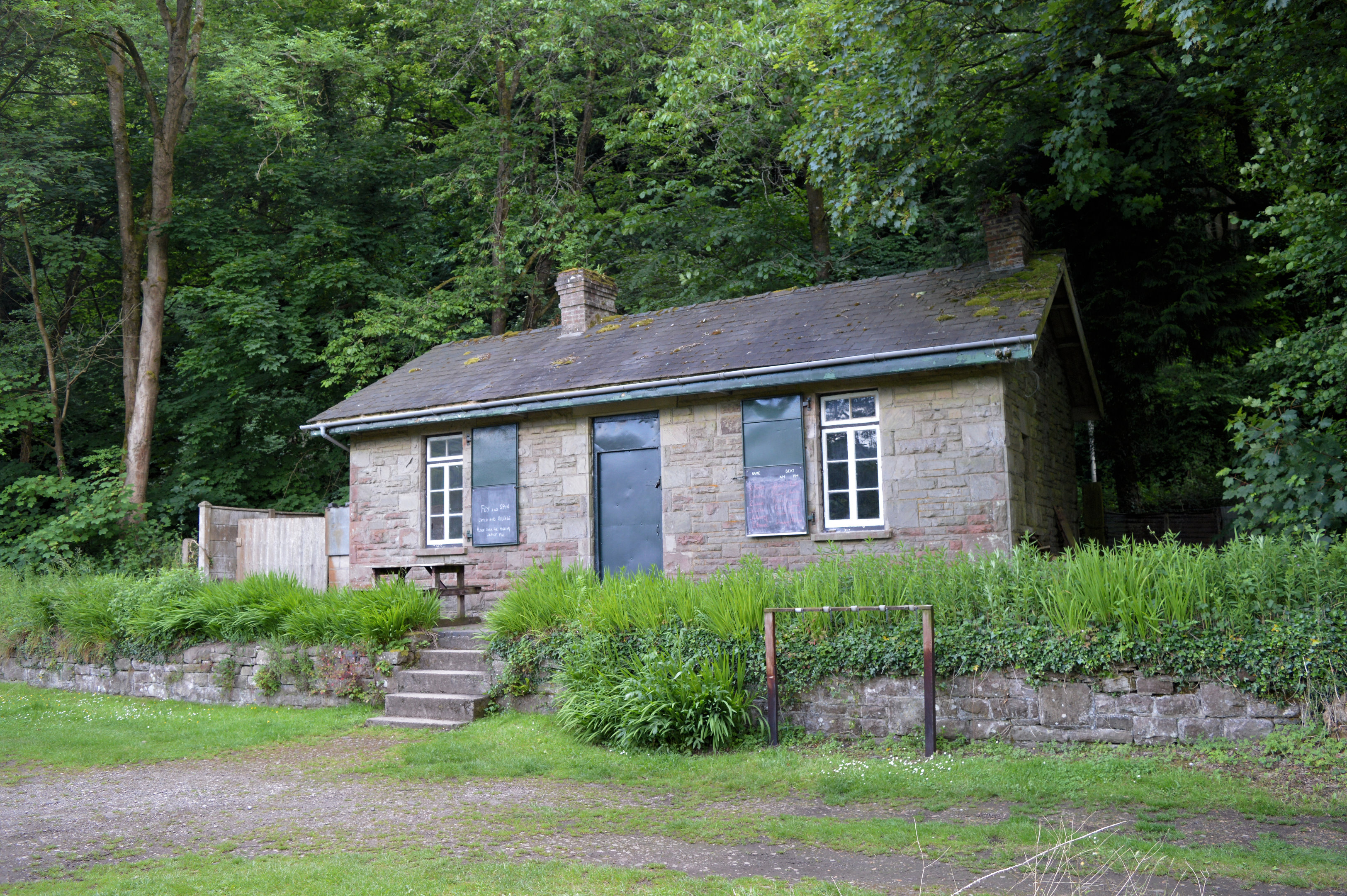
Dark Hill Images

Images are sourced within 2km of 51.742124/-2.6325018 or Grid Reference SO5605. Thanks to Geograph Open Source API. All images are credited.

B4228 at Ghyll House Farm
B4228 at St Briavels village boundary
B4228 Barrowell Lane in St Briavels
B4228 north-east of St Briavels
B4228 near Longley Farm
Old Barn Near St Briavels On the roadside
Old Barn Near St Briavels
On the roadside
Road To St Briavels B road entering the village from the north
Road To St Briavels
B road entering the village from the north
Footpath north from Stowe Lane Complete with cock pheasant.
Footpath north from Stowe Lane
Complete with cock pheasant.
Stowegreen Farm Some ewes in the very safe pasture next to the barns.
Stowegreen Farm
Some ewes in the very safe pasture next to the barns.
St. Margaret's Cottage, St. Briavels Opposite a wood called St. Margaret's Grove is the appropriately named St. Margaret's cottage, a secluded holiday home in an area called "The Fence" just outside the village of St. Briavels. Offa's Dyke Path and the River Wye are within walking distance.
St. Margaret's Cottage, St. Briavels
Opposite a wood called St. Margaret's Grove is the appropriately named St. Margaret's cottage, a secluded holiday home in an area called "The Fence" just outside the village of St. Briavels. Offa's Dyke Path and the River Wye are within walking distance.
The George Inn, St Briavels Seen here on a day when the village was shrouded in fog, the George Inn dates from the 16th century and is now a Wadworth's pub. It offers bed and breakfast.
The George Inn, St Briavels
Seen here on a day when the village was shrouded in fog, the George Inn dates from the 16th century and is now a Wadworth's pub. It offers bed and breakfast.
St Briavels Church On a very gloomy morning, with the village shrouded in damp fog, the church of St Mary the Virgin is barely visible from Church Street.
St Briavels Church
On a very gloomy morning, with the village shrouded in damp fog, the church of St Mary the Virgin is barely visible from Church Street.
St Briavels The sign points down the hill to Bigsweir, the Wye Valley and Monmouth. In the background the tower of St Mary the Virgin's church is barely visible in the damp fog and in the foreground a sign advertises a village shop. Unsurprisingly in this weather the area seemed deserted.
St Briavels
The sign points down the hill to Bigsweir, the Wye Valley and Monmouth. In the background the tower of St Mary the Virgin's church is barely visible in the damp fog and in the foreground a sign advertises a village shop. Unsurprisingly in this weather the area seemed deserted.
St Briavels Castle St Briavels Castle was once a royal hunting lodge, used by King John, but is now a youth hostel. In these foggy conditions it looks suitably atmospheric.
St Briavels Castle
St Briavels Castle was once a royal hunting lodge, used by King John, but is now a youth hostel. In these foggy conditions it looks suitably atmospheric.
Maize stubble on Oakleaze Pitch Maize stubble on Oakleaze Pitch to the east of St Briavels.  The Sugar Loaf near Abergavenny, its shape unmistakable can be seen in the far distance to the left of centre.
Maize stubble on Oakleaze Pitch
Maize stubble on Oakleaze Pitch to the east of St Briavels. The Sugar Loaf near Abergavenny, its shape unmistakable can be seen in the far distance to the left of centre.
Oakleaze Pitch Maize stubble on Oakleaze Pitch to the east of St Briavels.
Oakleaze Pitch
Maize stubble on Oakleaze Pitch to the east of St Briavels.
Wheat field near Severn View Farm Wheat field near Severn View Farm to the east of St Briavels.
Wheat field near Severn View Farm
Wheat field near Severn View Farm to the east of St Briavels.
Farmland for sale A traditional land agent auctioneers sign advertising an auction of land near St Briavels.  The auction was dated 12 April, it's now August so presumably the land has been sold by now.
Farmland for sale
A traditional land agent auctioneers sign advertising an auction of land near St Briavels. The auction was dated 12 April, it's now August so presumably the land has been sold by now.
Show me another place!

Dark Hill is located at Grid Ref: SO5605 (Lat: 51.742124, Lng: -2.6325018)

Administrative County: Gloucestershire

District: Forest of Dean

Police Authority: Gloucestershire

What 3 Words

///save.twists.proudest. Near Bream, Gloucestershire

Related Wikis

Slade Brook

Slade Brook (grid reference SO564055) is a 3.63-hectare (9.0-acre) biological and geological Site of Special Scientific Interest in Gloucestershire, notified...
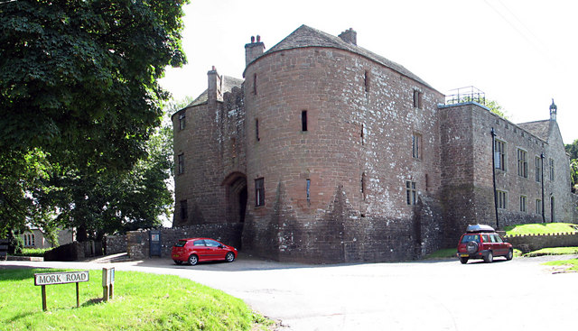
St Briavels Castle

St Briavels Castle is a moated Norman castle at St Briavels in the English county of Gloucestershire. The castle is noted for its huge Edwardian gatehouse...

St Briavels

St Briavels (pronounced Brevels, once known as 'Ledenia Parva' (Little Lydney)), is a medium-sized village and civil parish in the Royal Forest of Dean...

Stow Green, St Briavels

Stow Green Castle, also known as Castle Tump, was a castle near the village of St Briavels in Gloucestershire, England. The castle is believed to have...

Bigsweir Woods

Bigsweir Woods (grid reference SO546060) is a 48.16-hectare (119.0-acre) biological Site of Special Scientific Interest in Gloucestershire, notified in...

Bigsweir Bridge

Bigsweir Bridge is an 1827 road bridge crossing the River Wye, straddling the boundary between the parish of St. Briavels, Gloucestershire, England, and...

St Briavels railway station

St Briavels Station was a station along the Wye Valley Railway. It was built in 1876 during the construction of the line on the Monmouthshire side of the...
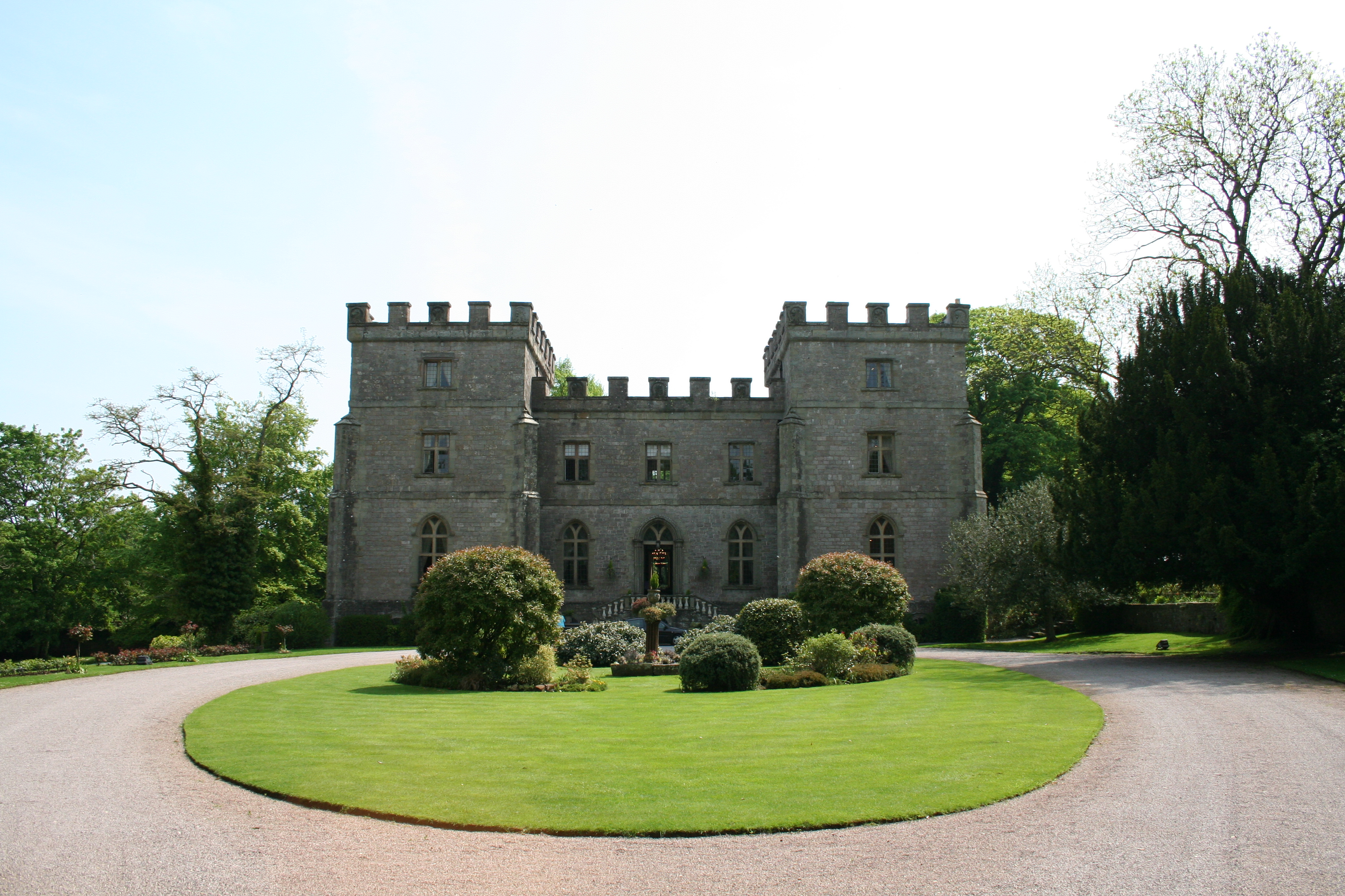
Clearwell Castle

Clearwell Castle in Clearwell, the Forest of Dean, Gloucestershire, is a Gothic Revival house constructed from 1727. Built by Thomas Wyndham to the designs...

Nearby Amenities

Located within 500m of 51.742124,-2.6325018
Give Way
Direction: forward
Lat/Long: 51.7379604/-2.6351202
The data included in this document is from www.openstreetmap.org. The data is made available under ODbL.

Have you been to Dark Hill?

Leave your review of Dark Hill below (or comments, questions and feedback).