Birkrigg Knowe
Hill, Mountain in Westmorland Eden
England
Birkrigg Knowe

Birkrigg Knowe is a prominent hill located in Westmorland, a historic county in the northwestern region of England. Rising to an elevation of 177 meters (581 feet), it is a popular destination for outdoor enthusiasts and nature lovers.
Situated near the town of Ulverston, Birkrigg Knowe offers breathtaking panoramic views of the surrounding countryside and the nearby Morecambe Bay. The hill is characterized by its gently sloping grassy slopes and its distinctive shape, resembling a rounded dome.
The area is renowned for its archaeological significance, with Birkrigg Knowe being the site of an ancient stone circle. This Neolithic monument, estimated to be over 4,000 years old, consists of two concentric rings of stones and is thought to have had ceremonial or astronomical purposes. The stones are made of local limestone and vary in size, with the largest standing at around 2 meters (6.5 feet) tall.
Visitors to Birkrigg Knowe can explore the site and marvel at the impressive stone circle while enjoying the peaceful and idyllic surroundings. The hill is easily accessible by foot, with several walking paths and trails leading up to its summit.
Birkrigg Knowe is a popular destination for hikers, walkers, and photographers, who are drawn to its natural beauty and historical significance. It offers a tranquil and serene escape, allowing visitors to immerse themselves in the rich history and stunning landscapes of Westmorland.
If you have any feedback on the listing, please let us know in the comments section below.
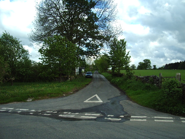
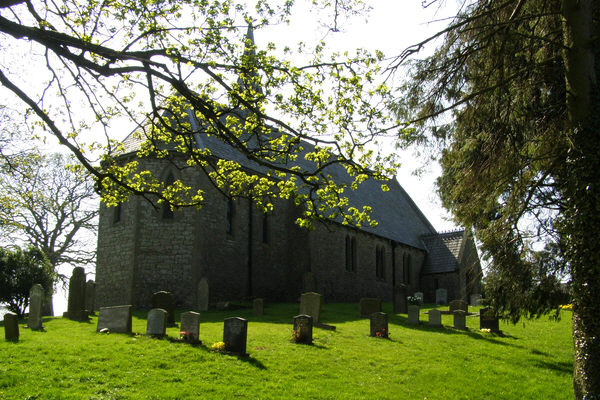
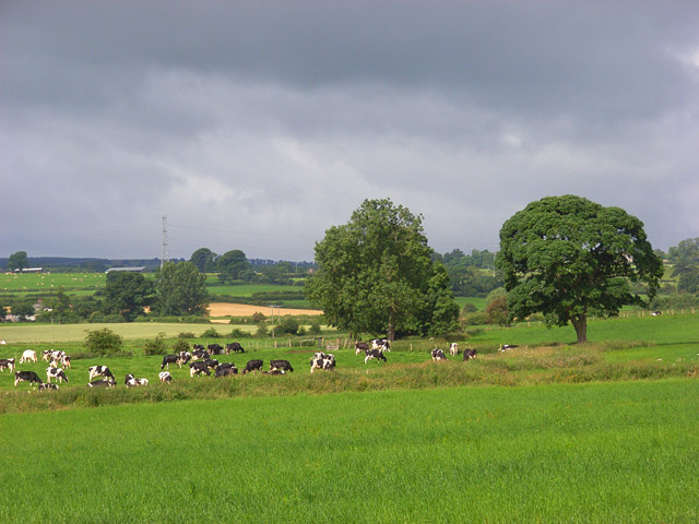
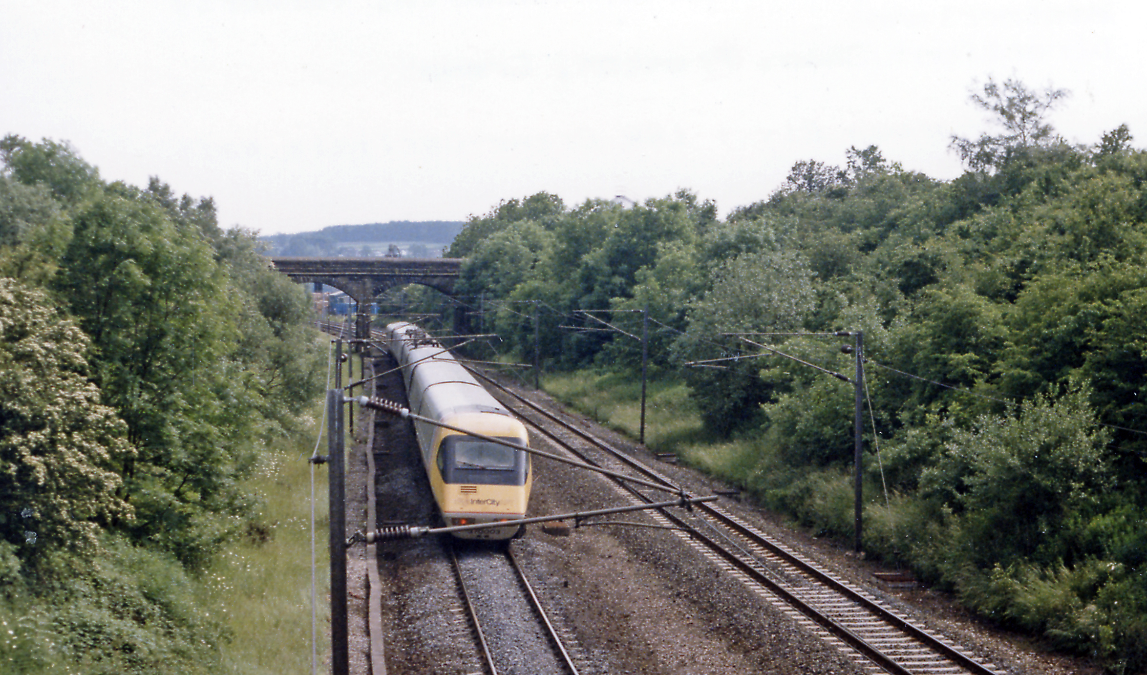
Birkrigg Knowe Images
Images are sourced within 2km of 54.606861/-2.6779883 or Grid Reference NY5623. Thanks to Geograph Open Source API. All images are credited.


Birkrigg Knowe is located at Grid Ref: NY5623 (Lat: 54.606861, Lng: -2.6779883)
Administrative County: Cumbria
District: Eden
Police Authority: Cumbria
What 3 Words
///keyboards.mere.waddled. Near Shap, Cumbria
Nearby Locations
Related Wikis

Great Strickland
Great Strickland is a village and civil parish in the Eden Valley between the Cumbrian mountains in the west and the Pennines in the east. It is 5 miles...

Leath
Leath was one of the wards of the historic county of Cumberland in north west England. Unlike most other English counties, Cumberland was divided into...
Melkinthorpe
Melkinthorpe is a hamlet in the civil parish of Lowther, in the Eden district, in the county of Cumbria, England. It is near the villages of Hackthorpe...

Hackthorpe
Hackthorpe is a hamlet in the Eden district, in the county of Cumbria, England. Circa 1870, it had a population of 110 as recorded in the Imperial Gazetteer...
Cliburn Moss
Cliburn Moss is a national nature reserve located northwest of the village of Cliburn, in the county of Cumbria, England. It contains wetland habitats...
Clifton and Lowther railway station
Clifton & Lowther railway station was a station on the Lancaster and Carlisle Railway (L&CR) south of Penrith near to the village of Clifton. Although...

Wetheriggs Pottery
Wetheriggs Pottery is a former pottery on the C3047 road, east of the hamlet of Clifton Dykes, in Clifton, Cumbria, 5 miles (8.0 km) southeast of Penrith...

Cliburn, Cumbria
Cliburn is a village and civil parish in the Eden district of Cumbria, England. The civil parish includes the hamlet of Town Head. In 2001 the population...
Nearby Amenities
Located within 500m of 54.606861,-2.6779883Have you been to Birkrigg Knowe?
Leave your review of Birkrigg Knowe below (or comments, questions and feedback).