Boath Hill

Hill, Mountain in Angus

Scotland

Boath Hill

Road between Mosston and Burnhead Looking north-eastward.
Road between Mosston and Burnhead Credit: Peter Wood

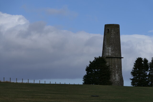
Boath Hill is a prominent summit located in the county of Angus, Scotland. It stands at an elevation of approximately 296 meters (971 feet) above sea level, making it a notable hill in the area. The hill is situated near the town of Brechin and offers panoramic views of the surrounding countryside.

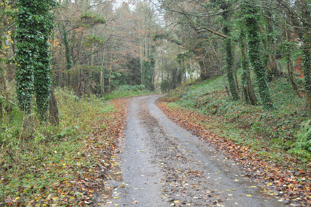
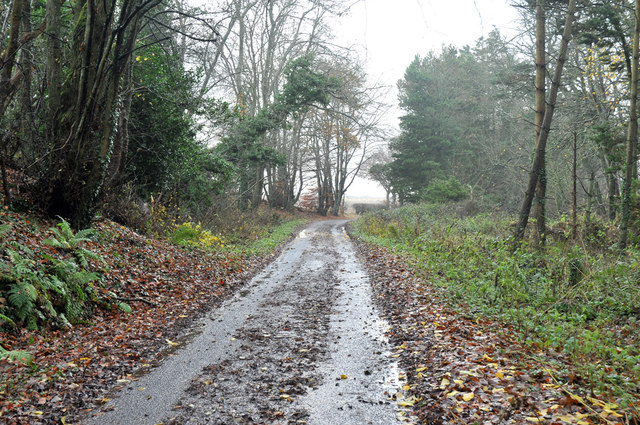
Boath Hill is characterized by its gently sloping terrain and grassy slopes, making it a relatively easy climb for hikers of all skill levels. The summit is adorned with a trig point, which serves as a geodetic survey marker, adding to its appeal for outdoor enthusiasts and hillwalkers.

The hill is surrounded by a diverse range of flora and fauna, with heather, gorse, and wildflowers dotting the landscape. It is also home to various species of birds, including buzzards and kestrels, which can often be spotted soaring above.

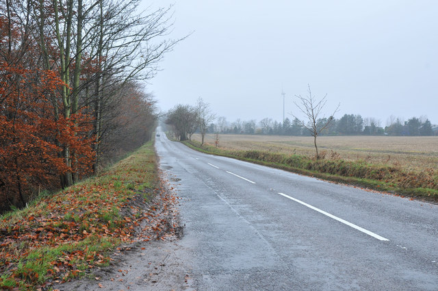
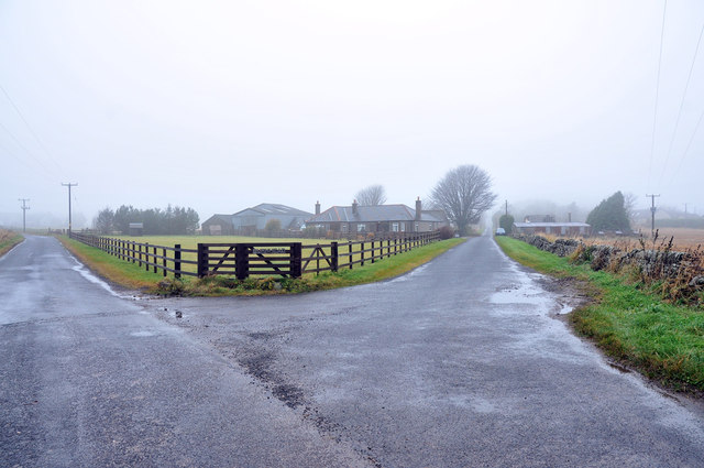
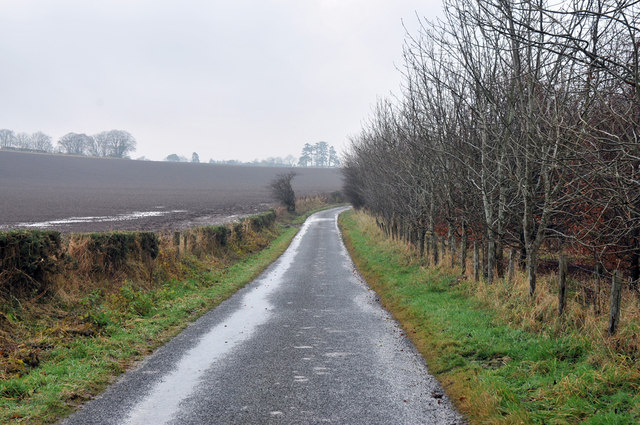
Visitors to Boath Hill can enjoy a peaceful and tranquil atmosphere, with the hill offering a respite from the hustle and bustle of daily life. The surrounding area provides ample opportunities for leisurely walks and nature exploration, with well-maintained paths leading to the summit.

Overall, Boath Hill in Angus is a beautiful natural landmark that showcases the picturesque Scottish countryside. Its accessibility, stunning views, and abundant wildlife make it a popular destination for hikers, nature lovers, and outdoor enthusiasts seeking a tranquil escape.

If you have any feedback on the listing, please let us know in the comments section below.

Boath Hill Images

Images are sourced within 2km of 56.600566/-2.7157146 or Grid Reference NO5645. Thanks to Geograph Open Source API. All images are credited.

Road between Mosston and Burnhead Looking north-eastward.
Road between Mosston and Burnhead
Looking north-eastward.
Road approaching Mosston and Carmyllie Moor Looking north-westward.
Road approaching Mosston and Carmyllie Moor
Looking north-westward.
Burnhead Terrace, Redford Looking north-westward.
Burnhead Terrace, Redford
Looking north-westward.
Field edge track between woodland and grain crop Looking south-westward.
Field edge track between woodland and grain crop
Looking south-westward.
Track between woodland and field descending to Cairnconon Looking North-eastward.
Track between woodland and field descending to Cairnconon
Looking North-eastward.
Cairnconon Hill and its associated Triangulation Pillar Looking westward.
Cairnconon Hill and its associated Triangulation Pillar
Looking westward.
Souterrain at Conon A small hole in the roof of the souterrain <span class="nowrap"><a title="https://canmore.org.uk/site/34614/west-grange-of-conon" rel="nofollow ugc noopener" href="https://canmore.org.uk/site/34614/west-grange-of-conon">Link</a><img style="margin-left:2px;" alt="External link" title="External link - shift click to open in new window" src="https://s1.geograph.org.uk/img/external.png" width="10" height="10"/></span>
Souterrain at Conon
A small hole in the roof of the souterrain LinkExternal link
Dumbarrow Windmill Approx. 60 ft. high, 18 ft. dia.; graduated and with
cantilever platform. Stone and rubble construction with all workings removed. It may date from early 19th cent and is a local landmark.
Dumbarrow Windmill
Approx. 60 ft. high, 18 ft. dia.; graduated and with cantilever platform. Stone and rubble construction with all workings removed. It may date from early 19th cent and is a local landmark.
Site of Carmyllie station, 1988 View SW on B961, with the site of the station on the right: terminus of the ex-CR & NBR (Dundee & Arbroath) Joint branch, which ran SE from here to Elliot Junction. The branch was closed to passengers from 2/12/29, but remained for goods until 28/5/65.
Site of Carmyllie station, 1988
View SW on B961, with the site of the station on the right: terminus of the ex-CR & NBR (Dundee & Arbroath) Joint branch, which ran SE from here to Elliot Junction. The branch was closed to passengers from 2/12/29, but remained for goods until 28/5/65.
Minor road to Redford
Farm track on Cairnconon Hill
B961 near North Mains of Cononsyth
Road junction near Redford
Road junction at Burnhead
Minor road near Dumbarrow
Minor road near Dumbarrow Mill
Farm buildings at Cononsyth
Show me another place!

Boath Hill is located at Grid Ref: NO5645 (Lat: 56.600566, Lng: -2.7157146)

Unitary Authority: Angus

Police Authority: Tayside

What 3 Words

///nothing.deprives.feels. Near Letham, Angus

Nearby Locations

Boath Hill

Related Wikis

Carmyllie railway station

Carmyllie railway station served the town of Carmyllie, Angus, Scotland from 1900 to 1965 on the Carmyllie Railway. == History == The station opened on...

Redford, Angus

Redford is a hamlet in the parish of Carmyllie in Angus, Scotland. It is situated on high ground between Arbroath, on the coast, and the inland county...

Gardyne Castle

Gardyne Castle is a 16th-century tower house in Angus, Scotland. It is located 2 kilometres (1.2 mi) south-west of Friockheim. The castle is still in use...
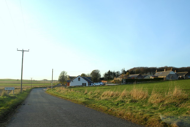
Greystone, Angus

Greystone is a hamlet in Angus, Scotland. It lies between the towns of Carnoustie and Forfar in the parish of Carmyllie. == References ==

Nearby Amenities

Located within 500m of 56.600566,-2.7157146
Bus Stop
Cononsyth Crossroads
Naptan AtcoCode: 6490IM008
Naptan Bearing: NW
Naptan BusStopType: CUS
Naptan CommonName: Cononsyth Crossroads
Naptan Indicator: towards Friockheim
Naptan Landmark: Cononsyth Crossroads
Naptan NaptanCode: 26423967
Naptan Street: Cononsyth Crossroads
Naptan Verified: no
Source: naptan_import
Lat/Long: 56.6026894/-2.708646
Boath Hill
Ele: 184
Natural: peak
Lat/Long: 56.6003579/-2.7161144
Dummiesholes
Place: isolated_dwelling
Lat/Long: 56.5989775/-2.7090289
Power: pole
Lat/Long: 56.5982836/-2.708959
Power: pole
Lat/Long: 56.5988449/-2.7089794
Cononsyth Crossroads
Junction: yes
Lat/Long: 56.6026814/-2.7085083
The data included in this document is from www.openstreetmap.org. The data is made available under ODbL.

Have you been to Boath Hill?

Leave your review of Boath Hill below (or comments, questions and feedback).