Coalpit Hill
Hill, Mountain in Gloucestershire Forest of Dean
England
Coalpit Hill

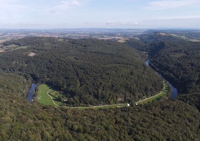
Coalpit Hill is a prominent geographical feature located in the county of Gloucestershire, England. Situated near the town of Stroud, it is part of the Cotswold Hills, a range of rolling hills known for their natural beauty and historical significance. Rising to an elevation of approximately 295 meters (968 feet) above sea level, Coalpit Hill offers panoramic views of the surrounding countryside.
The hill takes its name from the coal mining activity that once took place in the area during the 19th century. It was a significant source of coal for the local community, with numerous coal pits dotting its slopes and valleys. Today, these remnants of the mining era can still be seen, serving as a reminder of the region's industrial past.
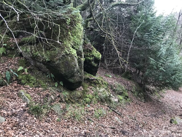
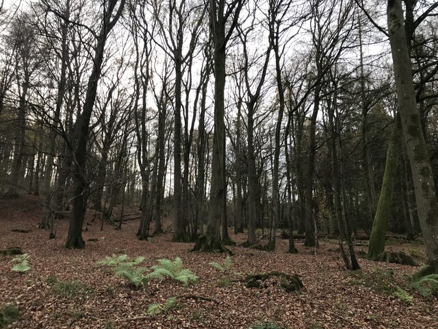
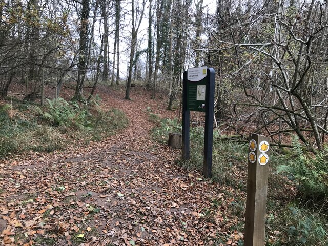
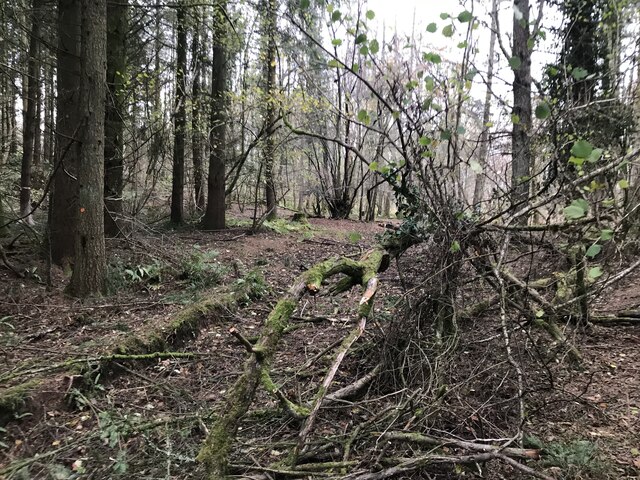
Coalpit Hill is a popular destination for nature enthusiasts, hikers, and walkers. Its lush greenery and diverse wildlife make it an ideal spot for exploring the outdoors. There are several footpaths and trails that crisscross the hill, allowing visitors to enjoy the picturesque scenery and discover hidden gems along the way.
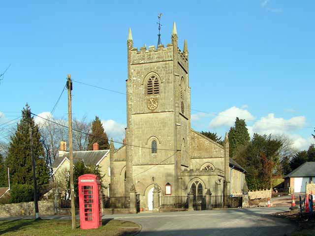
In addition to its natural beauty, Coalpit Hill is also home to a variety of historical landmarks. The nearby village of Painswick, known as the "Queen of the Cotswolds," boasts an impressive 14th-century church and unique architecture. The hill itself offers a glimpse into the region's mining heritage, with remnants of old mine shafts and buildings still visible.
Overall, Coalpit Hill offers a blend of natural beauty, historical significance, and recreational opportunities. Whether it's exploring the countryside, admiring the views, or delving into the region's past, this hill in Gloucestershire has something to offer for everyone.
If you have any feedback on the listing, please let us know in the comments section below.
Coalpit Hill Images
Images are sourced within 2km of 51.815764/-2.6387406 or Grid Reference SO5613. Thanks to Geograph Open Source API. All images are credited.


Coalpit Hill is located at Grid Ref: SO5613 (Lat: 51.815764, Lng: -2.6387406)
Administrative County: Gloucestershire
District: Forest of Dean
Police Authority: Gloucestershire
What 3 Words
///evaded.coats.birdcage. Near Coleford, Gloucestershire
Nearby Locations
Related Wikis

Staunton (near Coleford)
Staunton is a village and civil parish in the Forest of Dean in west Gloucestershire, England, close to the border with Wales. == Location == Staunton...

Upper Wye Gorge
Upper Wye Gorge is a Site of Special Scientific Interest (SSSI), noted for its biological and geological characteristics, around Symonds Yat in the Wye...

Dingle Wood
Dingle Wood (grid reference SO562115) is a 9.95-hectare (24.6-acre) biological Site of Special Scientific Interest in Gloucestershire, notified in 1972...
Berry Hill, Gloucestershire
Berry Hill is a village in Gloucestershire, England, 1.5 miles north of the town of Coleford. Berry Hill includes the settlements of Five Acres to the...

Lady Park Wood National Nature Reserve
Lady Park Wood National Nature Reserve (grid reference SO546144) is a 45-hectare (110-acre) nature reserve straddling the borders of Gloucestershire in...

Stowfield quarry
Stowfield quarry is a quarry in the Forest of Dean about 2 km south of Staunton, near Coleford, Gloucestershire, England. == References ==
Five Acres High School
Five Acres High School, formerly Lakers School, is an academy in Coleford, Gloucestershire. Simon Phelps is the Headteacher, Five Acres is an Academy which...
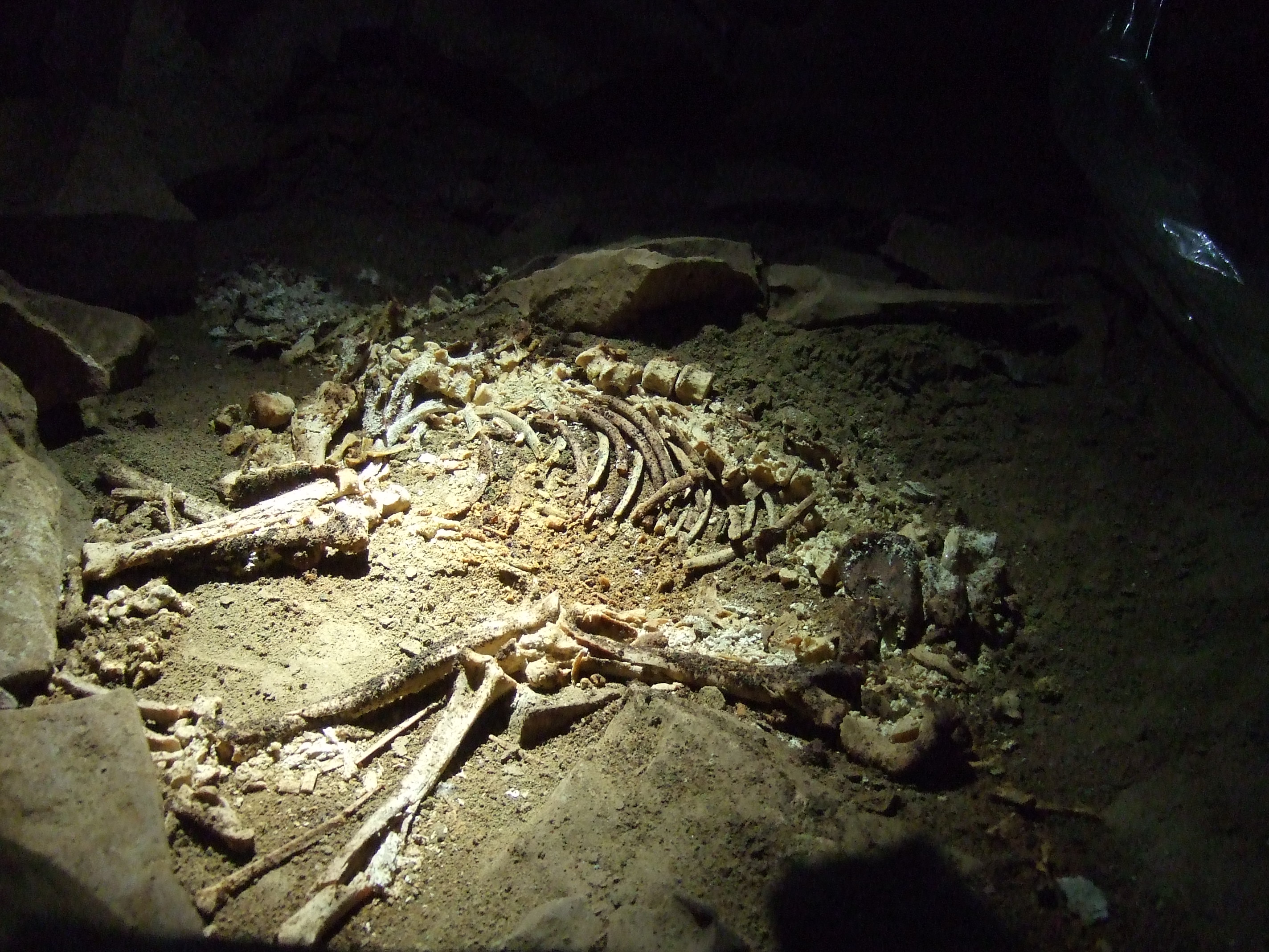
Slaughter Stream Cave
Slaughter Stream Cave, also known as Wet Sink, is a cave system in the Wye Valley, Forest of Dean. A series of fixed ladders and two pitches lead to sporting...
Nearby Amenities
Located within 500m of 51.815764,-2.6387406Have you been to Coalpit Hill?
Leave your review of Coalpit Hill below (or comments, questions and feedback).