Black Hill

Hill, Mountain in Cumberland Carlisle

England

Black Hill

Footbridge at Brampton Junction on the Newcastle to Carlisle Railway
Footbridge at Brampton Junction on the Newcastle to Carlisle Railway Credit: Les Hull

Black Hill is a prominent hill located in the county of Cumberland, in the northwest region of England. Standing at an elevation of 609 meters (1,998 feet), it is classified as a Marilyn, which is a hill with a prominence of at least 150 meters (492 feet).

Situated within the North Pennines Area of Outstanding Natural Beauty, Black Hill offers breathtaking panoramic views of the surrounding countryside. Its distinctive dark coloring, which gives the hill its name, is due to the presence of peat on its slopes. This peat, formed from decomposed vegetation over thousands of years, has resulted in a unique habitat that supports a diverse range of flora and fauna.

The hill is a popular destination for outdoor enthusiasts, including hikers, walkers, and nature lovers. Several well-marked footpaths and trails crisscross the landscape, allowing visitors to explore its rugged terrain and enjoy the stunning vistas. The Pennine Way, one of Britain's most famous long-distance trails, also passes near Black Hill, attracting many long-distance hikers.

The summit of Black Hill is crowned by a trig point, a concrete pillar used in surveying. On a clear day, it offers magnificent views extending as far as the Lake District and the Yorkshire Dales National Park. The area surrounding the hill is also home to various wildlife, such as curlews, lapwings, and red grouse, making it a haven for birdwatchers.

Overall, Black Hill in Cumberland is a captivating natural landmark, offering visitors the chance to immerse themselves in the beauty of the North Pennines and experience the tranquility of its remote and untamed landscape.

If you have any feedback on the listing, please let us know in the comments section below.
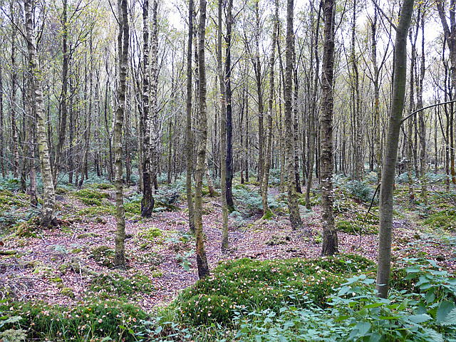
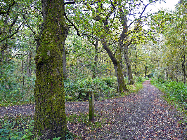
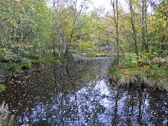
Black Hill Images

Images are sourced within 2km of 54.937424/-2.6898772 or Grid Reference NY5560. Thanks to Geograph Open Source API. All images are credited.

Footbridge at Brampton Junction on the Newcastle to Carlisle Railway
Railway towards Carlisle Taken from footbridge at Brampton Junction
Railway towards Carlisle
Taken from footbridge at Brampton Junction
Train at Brampton Junction
Footpath and Cycleway to Brampton This was original route for the railway line into Brampton and was closed in 1923.
Footpath and Cycleway to Brampton
This was original route for the railway line into Brampton and was closed in 1923.
Carlisle to Newcastle Line west of Brampton
Brampton Station
Brampton Station
Information board, Miltonrigg Woods This ancient woodland site, extending across 64ha, is owned by the Woodland Trust <span class="nowrap"><a title="http://www.woodlandtrust.org.uk/visiting-woods/wood/4250/miltonrigg-woods/" rel="nofollow ugc noopener" href="http://www.woodlandtrust.org.uk/visiting-woods/wood/4250/miltonrigg-woods/">Link</a><img style="margin-left:2px;" alt="External link" title="External link - shift click to open in new window" src="https://s1.geograph.org.uk/img/external.png" width="10" height="10"/></span> .
The wood has good access for visitors - there is a car park and over 4.5km of footpaths.
Information board, Miltonrigg Woods
This ancient woodland site, extending across 64ha, is owned by the Woodland Trust LinkExternal link . The wood has good access for visitors - there is a car park and over 4.5km of footpaths.
Ground flora, Miltonrigg Woods This is beside a ride, where the canopy is fairly open. Larch predominates in this part of the wood, which is close to the A69. The plants in the foreground, looking like bright green brushes, are wood horsetail (Equisetum sylvaticum).
Ground flora, Miltonrigg Woods
This is beside a ride, where the canopy is fairly open. Larch predominates in this part of the wood, which is close to the A69. The plants in the foreground, looking like bright green brushes, are wood horsetail (Equisetum sylvaticum).
View through trees, Miltonrigg Woods Birch is the dominant tree in this part of the wood. There are some nettles close to the path, further in are moss-covered mounds and clumps of fern.
View through trees, Miltonrigg Woods
Birch is the dominant tree in this part of the wood. There are some nettles close to the path, further in are moss-covered mounds and clumps of fern.
Woodland paths, Miltonrigg There are about 4.5km of footpaths through Miltonrigg Woods. This waymarked route has been surfaced to provide access for wheelchairs and pushchairs. 
The site is owned and managed by the Woodland Trust <span class="nowrap"><a title="http://www.woodlandtrust.org.uk/visiting-woods/wood/4250/miltonrigg-woods/" rel="nofollow ugc noopener" href="http://www.woodlandtrust.org.uk/visiting-woods/wood/4250/miltonrigg-woods/">Link</a><img style="margin-left:2px;" alt="External link" title="External link - shift click to open in new window" src="https://s1.geograph.org.uk/img/external.png" width="10" height="10"/></span> .
Woodland paths, Miltonrigg
There are about 4.5km of footpaths through Miltonrigg Woods. This waymarked route has been surfaced to provide access for wheelchairs and pushchairs. The site is owned and managed by the Woodland Trust LinkExternal link .
Pond in Miltonrigg Woods Taken from the picnic area (Geograph photo here <a title="https://www.geograph.org.uk/photo/2671652" href="https://www.geograph.org.uk/photo/2671652">Link</a> ), looking past a small island on the right.
The pond was created in 1992, and now provides a habitat for wildlife including amphibians, dragonflies, other invertebrates and specialist plants. It is also visited by ducks and deer.
(Information from site owner, the Woodland Trust <span class="nowrap"><a title="http://www.woodlandtrust.org.uk/visiting-woods/wood/4250/miltonrigg-woods/" rel="nofollow ugc noopener" href="http://www.woodlandtrust.org.uk/visiting-woods/wood/4250/miltonrigg-woods/">Link</a><img style="margin-left:2px;" alt="External link" title="External link - shift click to open in new window" src="https://s1.geograph.org.uk/img/external.png" width="10" height="10"/></span> ).
Pond in Miltonrigg Woods
Taken from the picnic area (Geograph photo here Link ), looking past a small island on the right. The pond was created in 1992, and now provides a habitat for wildlife including amphibians, dragonflies, other invertebrates and specialist plants. It is also visited by ducks and deer. (Information from site owner, the Woodland Trust LinkExternal link ).
Kirkhouse Farm From the mid 18th to early 19th centuries, the Earl of Carlisle's coal and mineral operations were managed by successive colliery agents, who lived at this property in Kirkhouse. They were also responsible for running the farm, which provided food for the workers and horses. The last agent became a leaseholder, creating the firm of Thompson & Sons, which carried on until 1908 (information from 'Colliery settlements in east Cumberland', Harris 1974 <span class="nowrap"><a title="https://archaeologydataservice.ac.uk/archiveDS/archiveDownload?t=arch-2055-1/dissemination/pdf/Article_Level_Pdf/tcwaas/002/1974/vol74/tcwaas_002_1974_vol74_0016.pdf" rel="nofollow ugc noopener" href="https://archaeologydataservice.ac.uk/archiveDS/archiveDownload?t=arch-2055-1/dissemination/pdf/Article_Level_Pdf/tcwaas/002/1974/vol74/tcwaas_002_1974_vol74_0016.pdf">Link</a><img style="margin-left:2px;" alt="External link" title="External link - shift click to open in new window" src="https://s1.geograph.org.uk/img/external.png" width="10" height="10"/></span> ).
The front of the Grade II listed farmhouse can be seen here <a href="https://www.geograph.org.uk/photo/5169006">NY5659 : Kirkhouse Farmhouse</a> .
Kirkhouse Farm
From the mid 18th to early 19th centuries, the Earl of Carlisle's coal and mineral operations were managed by successive colliery agents, who lived at this property in Kirkhouse. They were also responsible for running the farm, which provided food for the workers and horses. The last agent became a leaseholder, creating the firm of Thompson & Sons, which carried on until 1908 (information from 'Colliery settlements in east Cumberland', Harris 1974 LinkExternal link ). The front of the Grade II listed farmhouse can be seen here NY5659 : Kirkhouse Farmhouse .
Office Cottage, Kirkhouse This house with a clock on the wall, built around 1836, was originally the office for the Earl of Carlisle's collieries. 
Kirkhouse is a quiet hamlet today, compared to the 19th century when there was a busy depot here servicing the coal and mineral industries <span class="nowrap"><a title="https://www.pastscape.org.uk/hob.aspx?hob_id=958435&sort=4&search=all&criteria=kirkhouse&rational=q&recordsperpage=10" rel="nofollow ugc noopener" href="https://www.pastscape.org.uk/hob.aspx?hob_id=958435&sort=4&search=all&criteria=kirkhouse&rational=q&recordsperpage=10">Link</a><img style="margin-left:2px;" alt="External link" title="External link - shift click to open in new window" src="https://s1.geograph.org.uk/img/external.png" width="10" height="10"/></span> .
The cottage is a listed building - more information at Historic England <span class="nowrap"><a title="https://historicengland.org.uk/listing/the-list/list-entry/1356586" rel="nofollow ugc noopener" href="https://historicengland.org.uk/listing/the-list/list-entry/1356586">Link</a><img style="margin-left:2px;" alt="External link" title="External link - shift click to open in new window" src="https://s1.geograph.org.uk/img/external.png" width="10" height="10"/></span> .
Office Cottage, Kirkhouse
This house with a clock on the wall, built around 1836, was originally the office for the Earl of Carlisle's collieries. Kirkhouse is a quiet hamlet today, compared to the 19th century when there was a busy depot here servicing the coal and mineral industries LinkExternal link . The cottage is a listed building - more information at Historic England LinkExternal link .
Victorian postbox, Kirkhouse It is on the farmhouse wall at Kirkhouse Farm.
Victorian postbox, Kirkhouse
It is on the farmhouse wall at Kirkhouse Farm.
Field walls, Kirkhouse The near wall, beside the road, is covered in mosses and ferns but there is practically no vegetation on the far wall. At the end of the latter is an unusual little square building, bearing some resemblance to a dovecote.
Field walls, Kirkhouse
The near wall, beside the road, is covered in mosses and ferns but there is practically no vegetation on the far wall. At the end of the latter is an unusual little square building, bearing some resemblance to a dovecote.
Lowthian Hall, Kirkhouse There is a stone plaque over the door, inscribed 'LOWTHIAN CHURCH HALL 1928'. This fooled us for a bit into thinking it was a converted building, but since found out the church hall was demolished, and this house built in around 2003.
Lowthian Hall, Kirkhouse
There is a stone plaque over the door, inscribed 'LOWTHIAN CHURCH HALL 1928'. This fooled us for a bit into thinking it was a converted building, but since found out the church hall was demolished, and this house built in around 2003.
Telephone box at Kirkhouse Next to an entrance to the old graveyard of Farlam parish church.
Telephone box at Kirkhouse
Next to an entrance to the old graveyard of Farlam parish church.
Farlam Old Churchyard Belonging to the parish church of St Thomas a Becket, Farlam, which is situated at Kirkhouse.
Farlam Old Churchyard
Belonging to the parish church of St Thomas a Becket, Farlam, which is situated at Kirkhouse.
Show me another place!

Black Hill is located at Grid Ref: NY5560 (Lat: 54.937424, Lng: -2.6898772)

Administrative County: Cumbria

District: Carlisle

Police Authority: Cumbria

What 3 Words

///foiled.dorms.sling. Near Brampton, Cumbria

Related Wikis

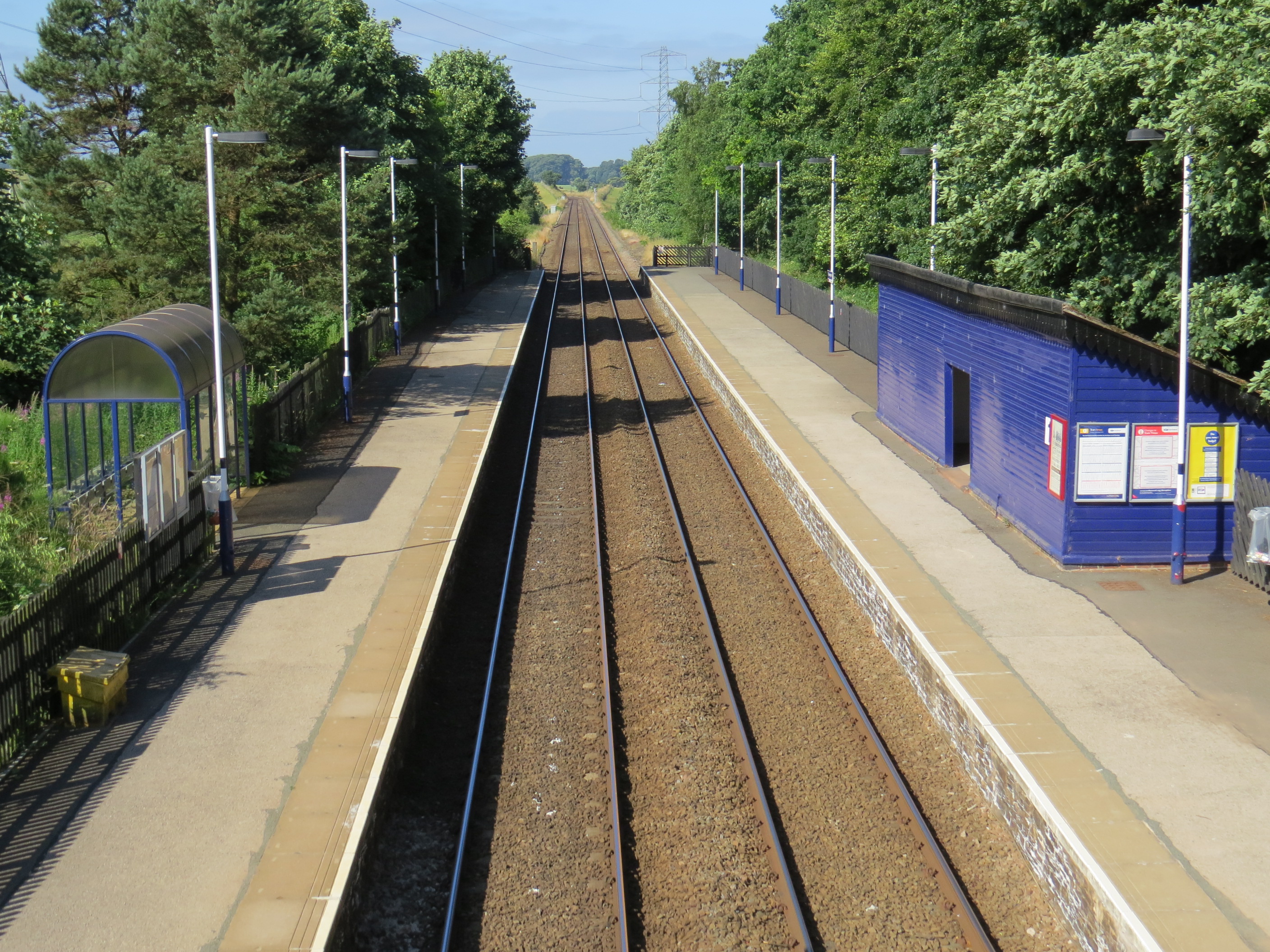
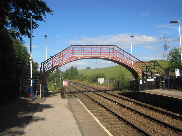
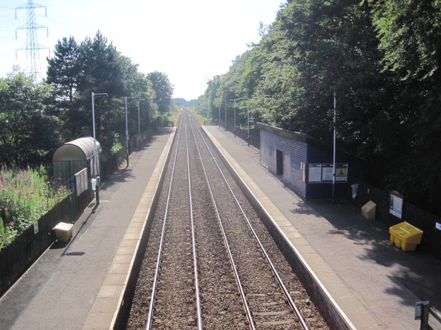
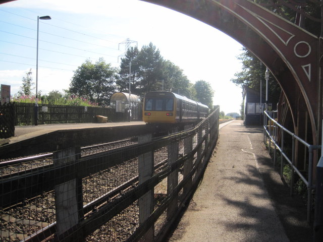
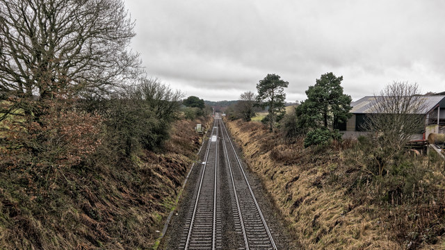
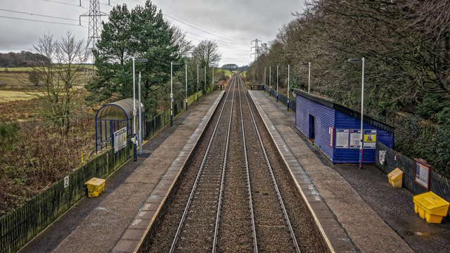
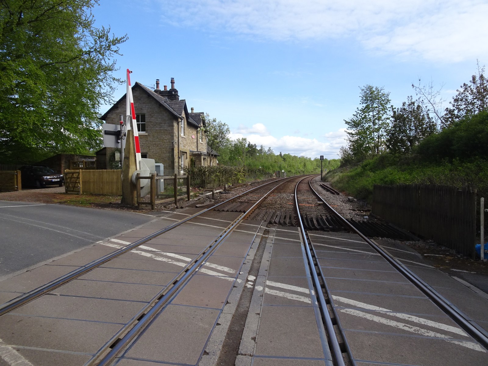
Brampton railway station (Cumbria)

Brampton (Cumbria) is a railway station on the Tyne Valley Line, which runs between Newcastle and Carlisle via Hexham. The station, situated 10 miles 62...

Naworth railway station

Naworth is a former railway station, which served the hamlet of Naworth in Cumbria. The station served the Tyne Valley Line between 1871 and 1952. ��2...
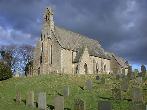
Farlam

Farlam is a village and civil parish in the City of Carlisle District, in the English county of Cumbria. The village is about 2+1⁄4 miles (3.6 km) southeast...

Naworth Castle

Naworth Castle, also known or recorded in historical documents as "Naward", is a castle in Cumbria, England, near the town of Brampton. It is adjacent...

Nearby Amenities

Located within 500m of 54.937424,-2.6898772
Milton
Is In Country Code: GB
Is In County: Cumbria
Place: hamlet
Source: NPE
Lat/Long: 54.9379172/-2.6949303
Bus Stop
Braeside
Bench: no
Covered: no
Naptan AtcoCode: 090033062549
Naptan Bearing: E
Naptan CommonName: Braeside
Naptan Indicator: o/s
Naptan Landmark: no. 4 Braeside
Naptan NaptanCode: cumamjwd
Naptan Street: A689
Naptan Verified: no
Shelter: no
Source: naptan_import
Lat/Long: 54.937394/-2.6969977
Bus Stop
Fell View (W bound)
Naptan AtcoCode: 090033062637
Naptan Bearing: W
Naptan CommonName: Fell View (W bound)
Naptan Indicator: opp
Naptan Landmark: no.s 1 to 2
Naptan NaptanCode: cumamjwm
Naptan Street: A689
Naptan Verified: no
Source: naptan_import
Lat/Long: 54.9371749/-2.6928889
Bus Stop
Oaktree Cottage
Bench: no
Covered: no
Naptan AtcoCode: 090033062699
Naptan Bearing: W
Naptan CommonName: Oaktree Cottage
Naptan Indicator: o/s
Naptan Landmark: Oaktree Cottage
Naptan NaptanCode: cumamjwp
Naptan Street: A689
Naptan Verified: no
Shelter: no
Source: naptan_import
Lat/Long: 54.9372019/-2.6975875
Bus Stop
Fell View (E bound)
Naptan AtcoCode: 090033064373
Naptan Bearing: E
Naptan CommonName: Fell View (E bound)
Naptan Indicator: opp
Naptan Landmark: Wilson Homes
Naptan NaptanCode: cumdtgmj
Naptan Street: Fell View
Naptan Verified: no
Source: naptan_import
Lat/Long: 54.9373362/-2.6929697
Crossing Barrier: double_half
Crossing Light: yes
Railway: level_crossing
Lat/Long: 54.9376763/-2.6952808
Design: three-level
Line Attachment: suspension
Power: tower
Lat/Long: 54.9348042/-2.6930518
Design: three-level
Power: tower
Lat/Long: 54.9367063/-2.6888173
Design: three-level
Power: tower
Lat/Long: 54.9384467/-2.6848585
Bench
Lat/Long: 54.9371857/-2.6974277
Milton
Historic Railway: station
Railway: site
Lat/Long: 54.93745/-2.6957032
Railway: level_crossing
Lat/Long: 54.937666/-2.6951982
Building: yes
Lat/Long: 54.9397876/-2.6855273
Barrier: stile
Lat/Long: 54.9351862/-2.6831943
Railway: crossing
Lat/Long: 54.9382614/-2.6937862
Railway: crossing
Lat/Long: 54.938289/-2.6938269
Power: pole
Lat/Long: 54.9406624/-2.6857722
Power: pole
Lat/Long: 54.9403148/-2.6867738
Power: pole
Lat/Long: 54.9376918/-2.6931672
Power: pole
Lat/Long: 54.9382989/-2.6921615
Power: pole
Lat/Long: 54.9389995/-2.6910199
Power: pole
Lat/Long: 54.9394568/-2.6895416
Power: pole
Lat/Long: 54.9398968/-2.6881224
The data included in this document is from www.openstreetmap.org. The data is made available under ODbL.

Have you been to Black Hill?

Leave your review of Black Hill below (or comments, questions and feedback).