Broadfaulds Hill
Hill, Mountain in Angus
Scotland
Broadfaulds Hill

Broadfaulds Hill is a prominent hill located in the county of Angus, Scotland. It is situated near the village of Edzell, approximately 6 miles north of the town of Brechin. Standing at a height of 326 meters (1,070 feet), it offers breathtaking panoramic views of the surrounding countryside.
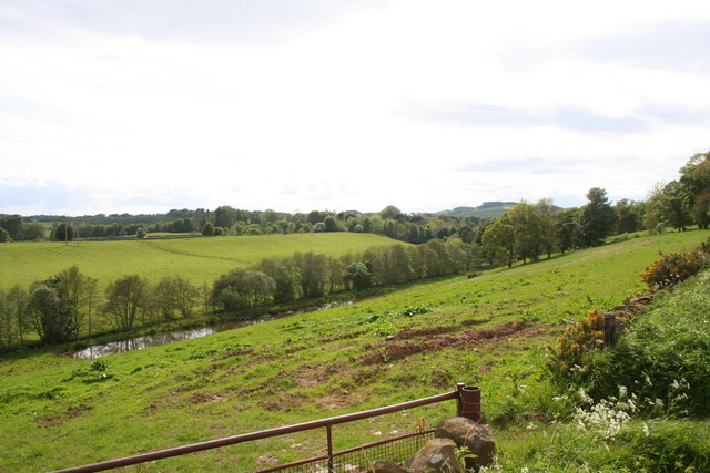
Broadfaulds Hill is part of the Grampian Mountains, which stretch across the eastern part of Scotland. It is primarily composed of rugged terrain, characterized by grassy slopes and scattered rocky outcrops. The hill is covered with heather and grasses, providing a rich habitat for various wildlife species such as red grouse, mountain hares, and birds of prey.
This hill is a popular destination for outdoor enthusiasts, offering excellent opportunities for hiking and hillwalking. Many well-marked trails traverse its slopes, allowing visitors to explore its stunning natural beauty. One of the most popular routes is the Edzell Woods Trail, which takes hikers through ancient woodland before ascending Broadfaulds Hill. The summit provides a magnificent vantage point, allowing visitors to admire the rolling hills and picturesque glens that characterize the Angus countryside.
Broadfaulds Hill is also steeped in history, with evidence of human activity dating back thousands of years. Archaeological remains, including stone circles and burial cairns, can be found in the vicinity, highlighting its significance as an ancient site. Today, it serves as a tranquil retreat for those seeking to connect with nature and immerse themselves in the captivating landscape of Angus.
If you have any feedback on the listing, please let us know in the comments section below.
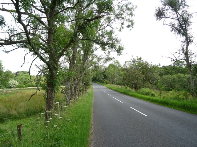
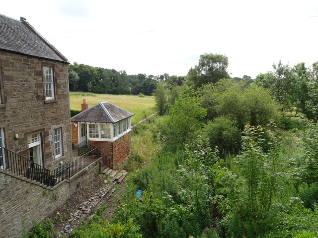
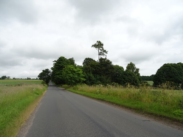
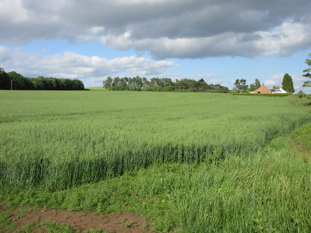
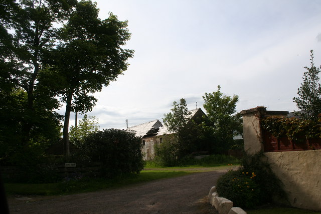
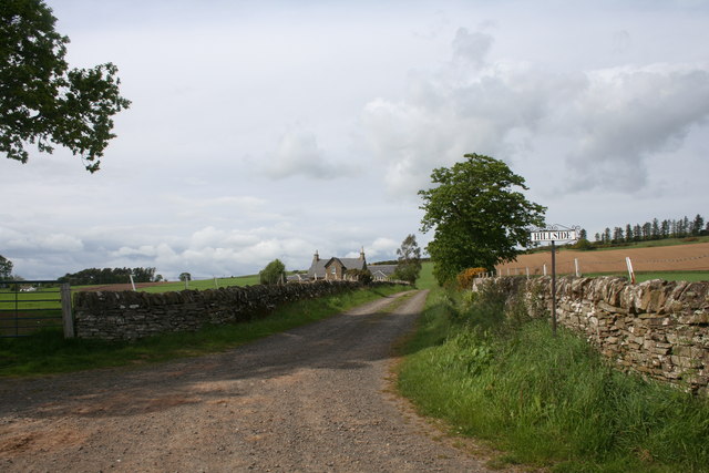
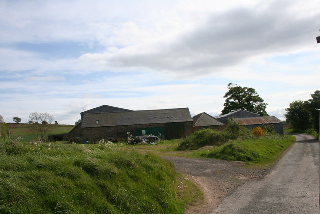
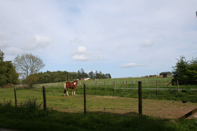
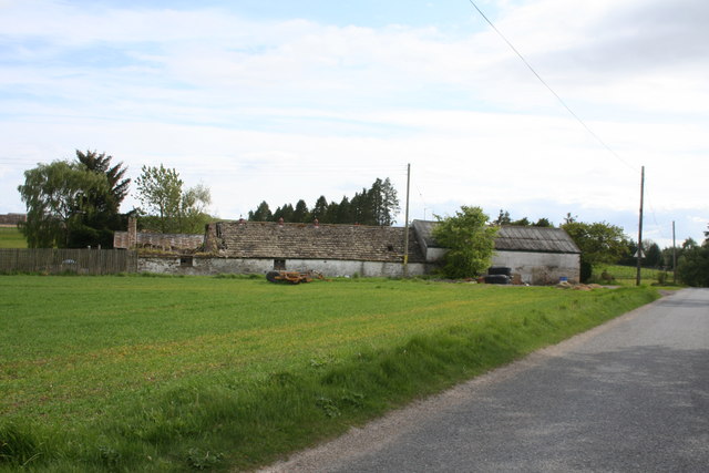
Broadfaulds Hill Images
Images are sourced within 2km of 56.654089/-2.7318974 or Grid Reference NO5551. Thanks to Geograph Open Source API. All images are credited.


Broadfaulds Hill is located at Grid Ref: NO5551 (Lat: 56.654089, Lng: -2.7318974)
Unitary Authority: Angus
Police Authority: Tayside
What 3 Words
///little.countries.fries. Near Letham, Angus
Nearby Locations
Related Wikis

Guthrie Castle
Guthrie Castle is a castle and country house in Angus, Scotland. It is located in the village of Guthrie, 10 kilometres (6.2 mi) east of Forfar, and 29...

Auldbar Road railway station
Auldbar Road railway station was located near the town of Guthrie in the Scottish county of Angus. == History == Opened by the Arbroath and Forfar Railway...

Guthrie, Angus
Guthrie is a village in Angus, Scotland, roughly at the centre point of the towns of Arbroath, Brechin and Forfar. The principal building in the village...

Guthrie railway station
Guthrie railway station served the village of Guthrie, Angus, Scotland from 1838 to 1955 on the Arbroath and Forfar Railway. == History == The station...

Gardyne Castle
Gardyne Castle is a 16th-century tower house in Angus, Scotland. It is located 2 kilometres (1.2 mi) south-west of Friockheim. The castle is still in use...

Letham, Angus
Letham (Scots pronunciation: [ˈlɛθəm]) is a village in Angus, Scotland. Letham is the largest village in Angus, with a population of nearly 2,000. Situated...

Rescobie Loch
Rescobie Loch is a post glacial fresh water body located in the parish of Rescobie, 4 km (2.5 mi) to the East of Forfar, in the county of Angus, Scotland...
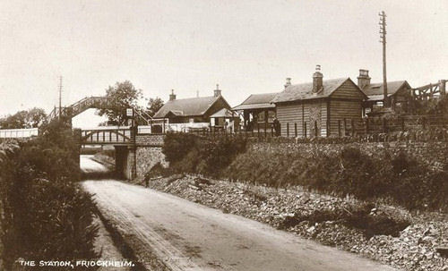
Friockheim railway station
Friockheim railway station served the village of Friockheim, Angus, Scotland from 1838 to 1955 on the Arbroath and Forfar Railway. == History == The station...
Nearby Amenities
Located within 500m of 56.654089,-2.7318974Have you been to Broadfaulds Hill?
Leave your review of Broadfaulds Hill below (or comments, questions and feedback).