Balwearie Hill
Hill, Mountain in Aberdeenshire
Scotland
Balwearie Hill
Balwearie Hill is a prominent hill located in Aberdeenshire, Scotland. It stands at an elevation of approximately 228 meters (748 feet) above sea level and is situated near the town of Balmedie, about 10 miles north of Aberdeen. The hill is part of the Balwearie Hill Woodland, a designated Site of Special Scientific Interest (SSSI) due to its rich biodiversity and geological features.
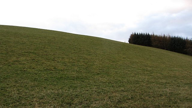
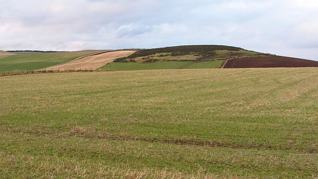
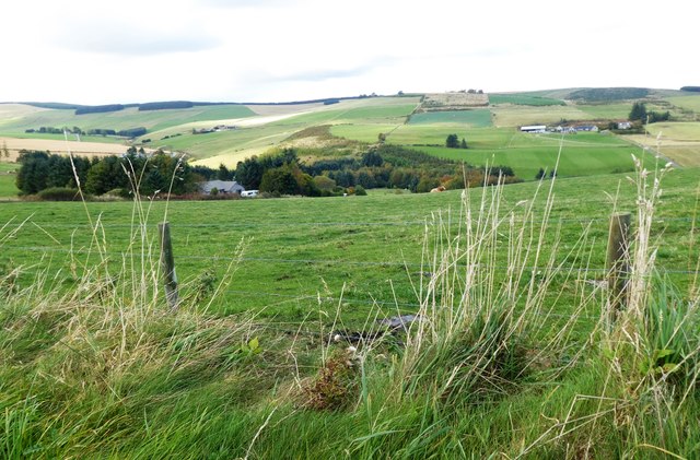
Balwearie Hill offers breathtaking panoramic views of the surrounding countryside, including the North Sea coastline and the neighboring hills. It is a popular destination for outdoor enthusiasts, hikers, and nature lovers, who are drawn to its tranquil and picturesque setting. The hill is characterized by its gently sloping grassy terrain, which makes it accessible to walkers of all abilities.
The hill is covered in a diverse range of vegetation, including heather, grasses, and wildflowers, providing a habitat for various species of birds, insects, and small mammals. It is also home to several species of trees, such as oak, birch, and Scots pine, which are scattered throughout the woodland.
Balwearie Hill has a rich history, with evidence of human occupation dating back to prehistoric times. There are remnants of ancient settlements, including stone circles and burial mounds, indicating that the area was once inhabited by early communities. Today, visitors can explore these historical sites and immerse themselves in the fascinating heritage of the region.
Overall, Balwearie Hill is a captivating natural landmark in Aberdeenshire, offering a blend of stunning scenery, ecological importance, and cultural significance.
If you have any feedback on the listing, please let us know in the comments section below.
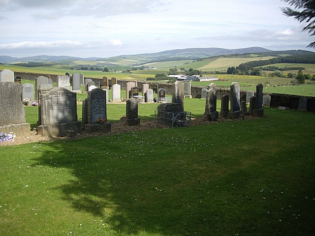
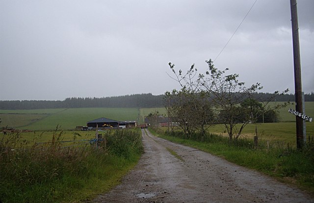
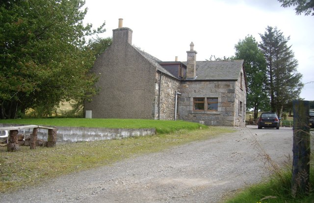
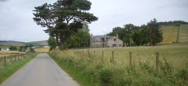
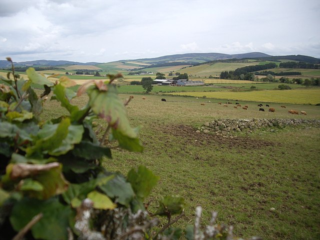
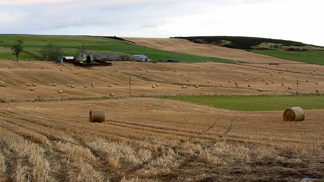
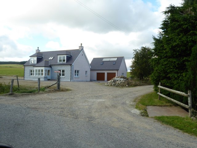
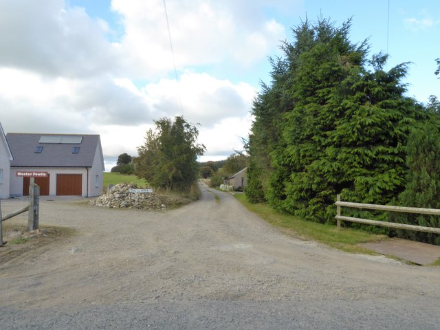
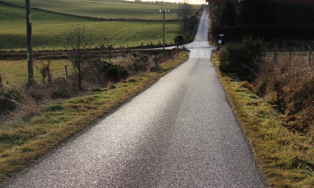
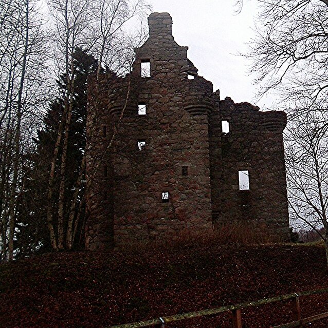
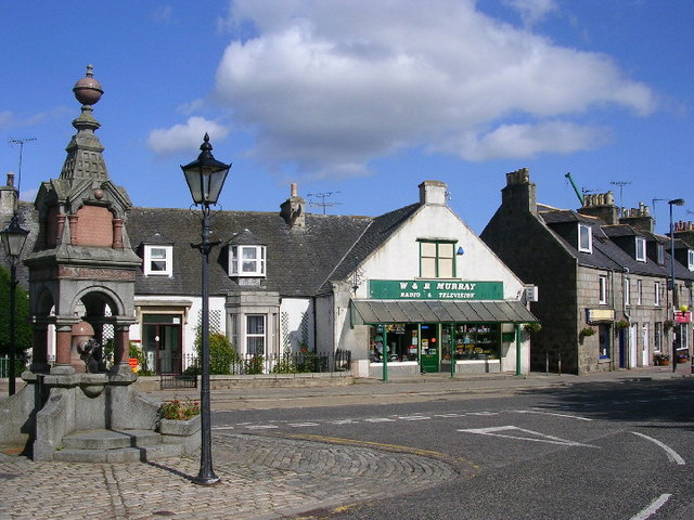
Balwearie Hill Images
Images are sourced within 2km of 57.181405/-2.7435349 or Grid Reference NJ5510. Thanks to Geograph Open Source API. All images are credited.


Balwearie Hill is located at Grid Ref: NJ5510 (Lat: 57.181405, Lng: -2.7435349)
Unitary Authority: Aberdeenshire
Police Authority: North East
What 3 Words
///dining.stuns.ordeals. Near Alford, Aberdeenshire
Nearby Locations
Related Wikis
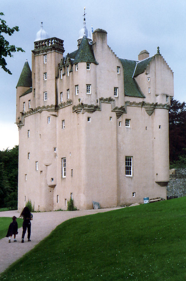
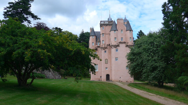
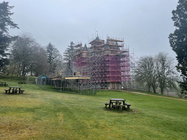
Craigievar Castle
Craigievar Castle is a pinkish harled castle or fortified country house 6 miles (9.7 km) south of Alford, Aberdeenshire, Scotland. It was the seat of Clan...
Corse Castle
Corse Castle near Lumphanan in Aberdeenshire, now ruined, was a fortress and centre of a landed estate in the north-east of Scotland. The present castle...

Cushnie Castle
Cushnie Castle was a 16th-century tower house, about 6 miles (9.7 km) south west of Alford, Aberdeenshire, Scotland, near Cushnie Burn, in the Glen of...

A980 road
The A980 road is a relatively short 20.6-mile (33.2 km) main road in north-east Scotland. The A980 connects the A944 road with the trunk A93 road. ��2...

Asloun Castle
Asloun Castle is a castle, formerly Z-plan, dating from the 16th century, 2 miles (3.2 km) south-west of Alford, in Aberdeenshire, Scotland, of which only...

Aberdeenshire (historic)
Aberdeenshire or the County of Aberdeen (Scots: Coontie o Aiberdeen, Scottish Gaelic: Siorrachd Obar Dheathain) is a historic county and registration county...

Marr
Marr (Scottish Gaelic: Màrr) is one of six committee areas in Aberdeenshire, Scotland. It has a population of 34,038 (2001 Census). Someone from Marr...
Alford, Aberdeenshire
Alford (pronounced Scots: Aaford or Awfort, Scottish Gaelic: Athfort) is a large village in Aberdeenshire, north-east Scotland, lying just south of...
Nearby Amenities
Located within 500m of 57.181405,-2.7435349Have you been to Balwearie Hill?
Leave your review of Balwearie Hill below (or comments, questions and feedback).