Brown Hill
Hill, Mountain in Aberdeenshire
Scotland
Brown Hill

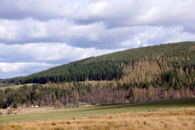
Brown Hill is a prominent hill located in Aberdeenshire, Scotland. Standing at an elevation of approximately 455 meters (1,493 feet), it is a notable landmark within the region. The hill is situated in the eastern part of Aberdeenshire, about 10 kilometers (6 miles) southeast of the town of Banchory.
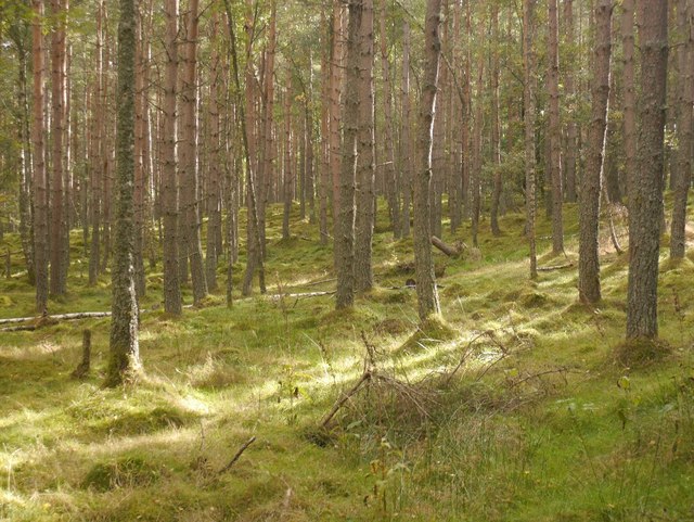
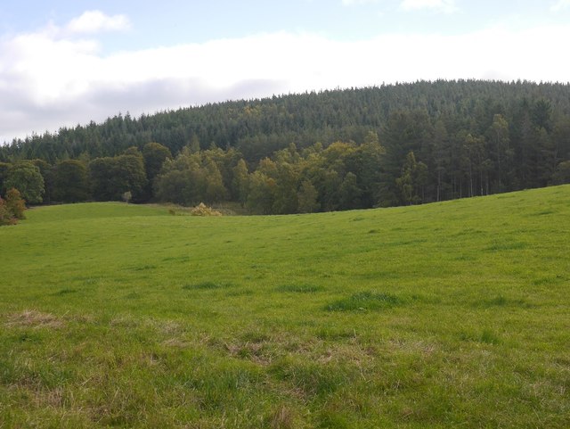
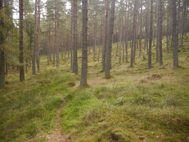
Brown Hill is characterized by its distinctive shape and gentle slopes, covered with heather and grass. The hill offers mesmerizing panoramic views of the surrounding countryside, with rolling hills, meandering rivers, and lush greenery. On clear days, it is possible to see as far as the Cairngorms National Park to the west.
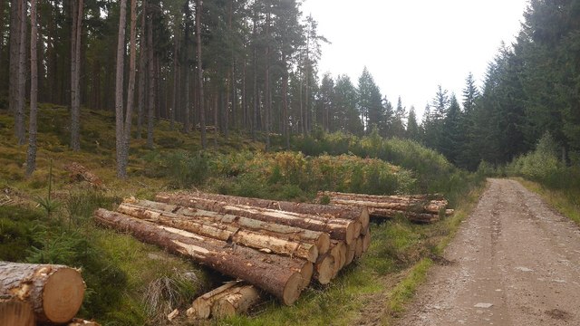
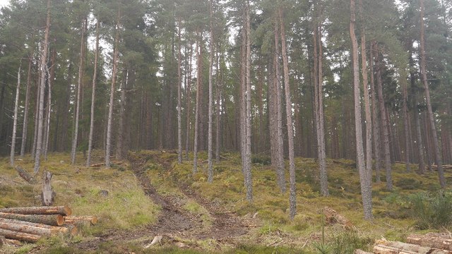
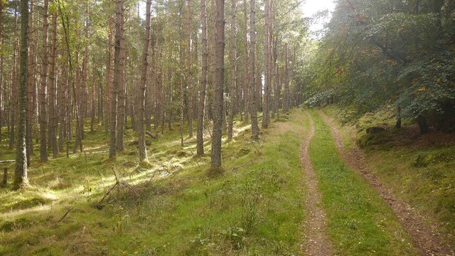
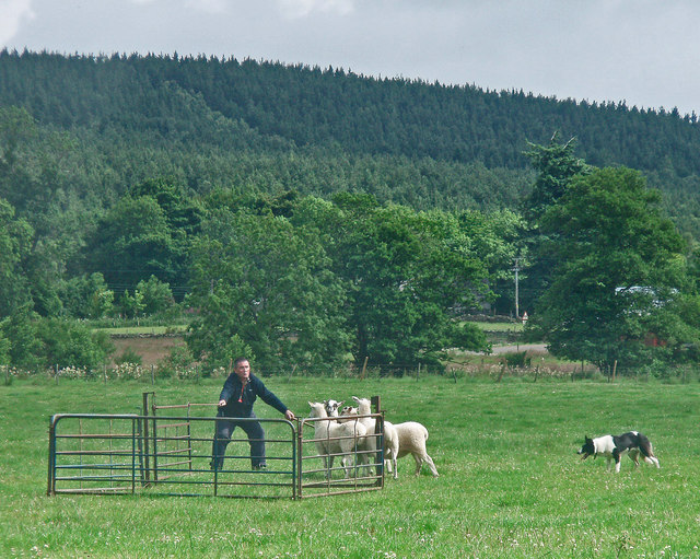
The area surrounding Brown Hill is rich in natural beauty and is a popular destination for outdoor enthusiasts. Several walking and hiking trails crisscross the hill, providing opportunities for visitors to explore and enjoy the picturesque surroundings. The terrain is relatively moderate, making it accessible to walkers of various abilities.
Due to its location in Aberdeenshire, Brown Hill is often frequented by locals and tourists alike. The hill offers a tranquil and peaceful setting, away from the hustle and bustle of urban life. It is a great place to unwind, relax, and immerse oneself in nature.
Overall, Brown Hill in Aberdeenshire is a beautiful and enchanting hill, attracting visitors with its stunning views, diverse flora, and serene atmosphere.
If you have any feedback on the listing, please let us know in the comments section below.
Brown Hill Images
Images are sourced within 2km of 57.047107/-2.7429748 or Grid Reference NO5595. Thanks to Geograph Open Source API. All images are credited.


Brown Hill is located at Grid Ref: NO5595 (Lat: 57.047107, Lng: -2.7429748)
Unitary Authority: Aberdeenshire
Police Authority: North East
What 3 Words
///corkscrew.disposal.valley. Near Aboyne, Aberdeenshire
Nearby Locations
Related Wikis

Birse
Birse (Scottish Gaelic: Braois/Breis) is a parish in the Lower Deeside area of Aberdeenshire, Scotland, which includes the communities of Finzean and Ballogie...
Kinminity
Kinminity is a former village located south-east of Birse, Aberdeenshire in Scotland. == History == The property was in hands of the cadet family of Sutherlands...
Ballogie
Ballogie is a rural community and an estate in the Lower Deeside area of Aberdeenshire, Scotland. Most of Ballogie lies within the parish of Birse, although...

Belwade Farm
Belwade Farm is a horse stables near Aboyne, Scotland owned by World Horse Welfare. == History == A new visitor centre and indoor arena was opened by Princess...

Birsemore
Birsemore is a village in Aberdeenshire, Scotland opposite Aboyne on the River Dee. == References ==

Aboyne Hospital
Aboyne Hospital is a community hospital in Bellwood Road, Aboyne, Scotland. It is managed by NHS Grampian. == History == The facility, which was designed...
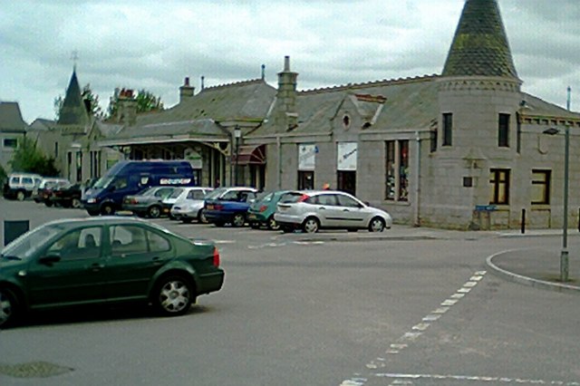
Aboyne railway station
Aboyne railway station was a station which served Aboyne in the Scottish county of Aberdeenshire. It was served by trains on the line from Aberdeen to...
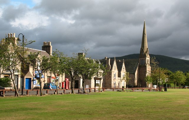
Aboyne
Aboyne (Scots: Abyne, Scottish Gaelic: Abèidh) is a village on the edge of the Highlands in Aberdeenshire, Scotland, on the River Dee, approximately 30...
Have you been to Brown Hill?
Leave your review of Brown Hill below (or comments, questions and feedback).