Benson Knott
Hill, Mountain in Westmorland South Lakeland
England
Benson Knott
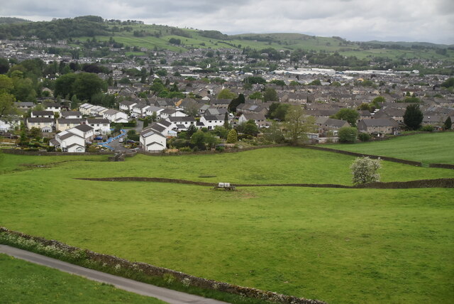
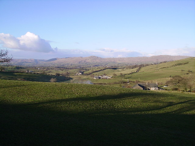
Benson Knott is a prominent hill/mountain located in Westmorland, a county in the North West of England. Standing at an elevation of approximately 1,110 feet (338 meters), it offers breathtaking views of the surrounding countryside. Situated within the Lake District National Park, Benson Knott is a popular destination for hikers, nature enthusiasts, and outdoor adventurers.
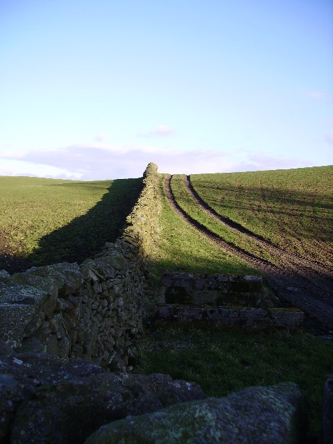
The hill/mountain is known for its distinctive shape and rugged terrain. Its slopes are covered with grass and heather, providing a haven for various wildlife species. The area is home to a diverse range of flora and fauna, including rare plants and birds, making it an ideal spot for nature lovers and birdwatchers.
Benson Knott is easily accessible, with several walking routes leading to its summit. One of the most popular trails starts from the nearby village of Grasmere, famous for its association with the poet William Wordsworth. The ascent to the top offers stunning panoramic views of the surrounding lakes, valleys, and fells. On clear days, it is even possible to catch a glimpse of the Irish Sea in the distance.
Visitors to Benson Knott can enjoy a variety of outdoor activities, including hiking, mountain biking, and picnicking. The hill/mountain is also a great place for photography, with its picturesque landscapes and dramatic vistas providing endless opportunities for capturing breathtaking shots.
Overall, Benson Knott in Westmorland offers a memorable and rewarding experience for those seeking outdoor adventures and a chance to immerse themselves in the natural beauty of the Lake District.
If you have any feedback on the listing, please let us know in the comments section below.
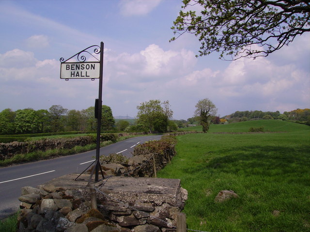
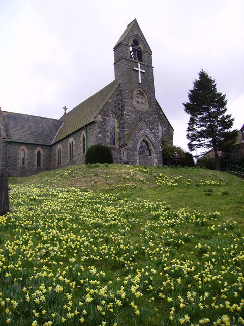
Benson Knott Images
Images are sourced within 2km of 54.340921/-2.6955986 or Grid Reference SD5494. Thanks to Geograph Open Source API. All images are credited.


Benson Knott is located at Grid Ref: SD5494 (Lat: 54.340921, Lng: -2.6955986)
Administrative County: Cumbria
District: South Lakeland
Police Authority: Cumbria
What 3 Words
///consoled.timeless.collapsed. Near Kendal, Cumbria
Nearby Locations
Related Wikis

Scalthwaiterigg
Scalthwaiterigg is a former civil parish, now in the parish of Skelsmergh and Scalthwaiterigg, in the Westmorland and Furness district, in the ceremonial...
Skelsmergh and Scalthwaiterigg
Skelsmergh and Scalthwaiterigg is a civil parish in South Lakeland district, Cumbria, England. It was formed on 1 April 2015 by merging the parishes of...

Docker, Cumbria
Docker is a civil parish in the South Lakeland district of the English county of Cumbria. Docker is 4.3 miles north east of the market town of Kendal....
Skelsmergh
Skelsmergh is a small village and former civil parish, now in the parish of Skelsmergh and Scalthwaiterigg, in South Lakeland in rural Cumbria, England...
Nearby Amenities
Located within 500m of 54.340921,-2.6955986Have you been to Benson Knott?
Leave your review of Benson Knott below (or comments, questions and feedback).