Ashton Hill
Hill, Mountain in Somerset
England
Ashton Hill

Ashton Hill is a prominent hill located in the county of Somerset, England. It is situated in the southern part of the county, near the village of Ashton. With an elevation of approximately 269 meters (883 feet), it offers picturesque views of the surrounding countryside.
The hill is known for its gentle slopes and lush greenery, making it a popular destination for nature enthusiasts and hikers. It is covered with a variety of vegetation, including grasses, wildflowers, and scattered trees. The landscape is dotted with dry stone walls and hedgerows, adding to its rural charm.
At the top of Ashton Hill, there is a trig point, which serves as a navigational marker and offers panoramic views of the Somerset Levels and the Mendip Hills to the east. On clear days, it is even possible to see as far as the Bristol Channel and the distant Welsh mountains.
The hill provides a habitat for several species of birds, including skylarks and buzzards, making it a great spot for birdwatching. It is also home to various small mammals, such as rabbits and foxes.
Ashton Hill is easily accessible, with footpaths and bridleways allowing visitors to explore its slopes. It is a peaceful and serene location, perfect for those seeking a tranquil retreat amidst the natural beauty of Somerset.
If you have any feedback on the listing, please let us know in the comments section below.
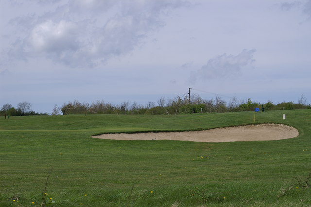
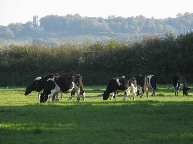
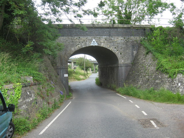
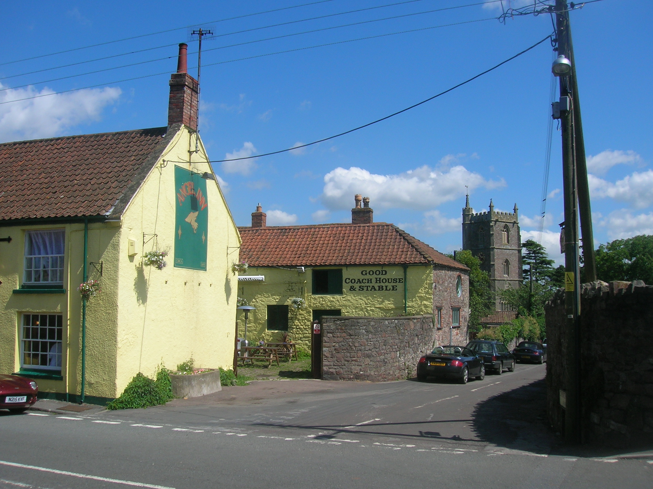
Ashton Hill Images
Images are sourced within 2km of 51.436952/-2.6558407 or Grid Reference ST5471. Thanks to Geograph Open Source API. All images are credited.


Ashton Hill is located at Grid Ref: ST5471 (Lat: 51.436952, Lng: -2.6558407)
Unitary Authority: North Somerset
Police Authority: Avon and Somerset
What 3 Words
///moment.humans.horses. Near Long Ashton, Somerset
Nearby Locations
Related Wikis

Church of All Saints, Long Ashton
The Anglican Church of All Saints in Long Ashton was built in the 14th century although much of the fabric was rebuilt in the 1870s. It is a Grade II*...

Long Ashton Rural District
Long Ashton was a rural district in Somerset, England, from 1894 to 1974. It was created in 1894 under the Local Government Act 1894. In 1974 it was abolished...
Long Ashton
Long Ashton is a village and civil parish in Somerset, England. It falls within the unitary authority of North Somerset and is one of a number of large...

Hebron Church, Long Ashton
Hebron Church is an evangelical church in Long Ashton, North Somerset, near Bristol in England, was first founded in 1934 by Ernest Dyer.The church arose...
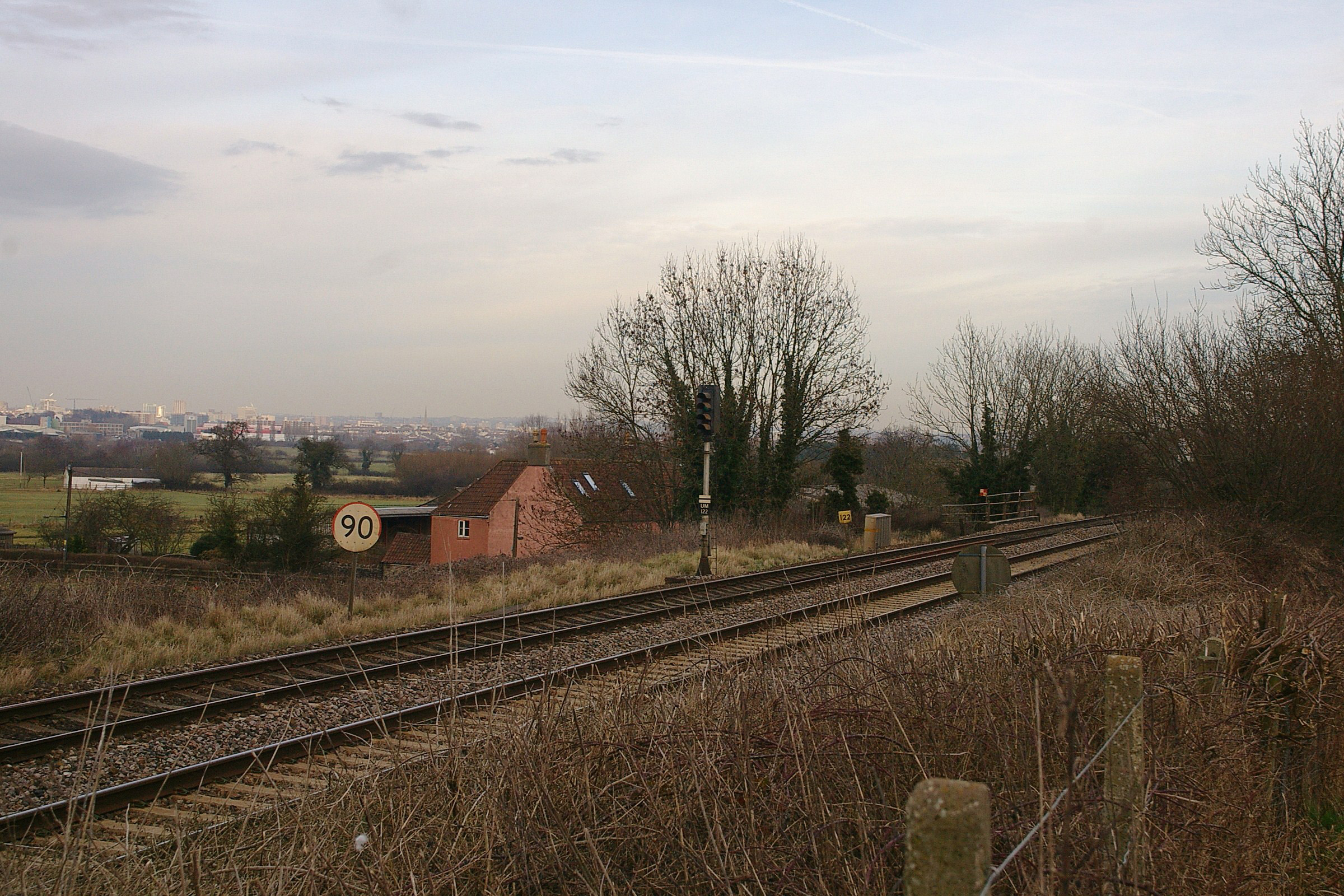
Long Ashton railway station
Long Ashton railway station was a railway station on the Bristol to Exeter line, 3.5 miles (5.6 km) southwest of Bristol Temple Meads, serving the village...
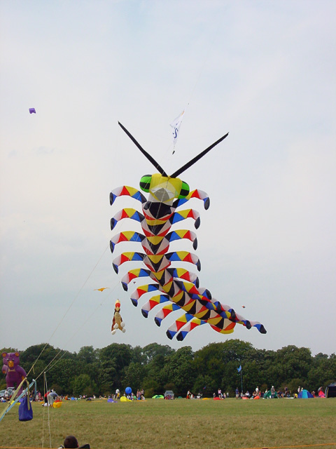
Kite Festival
The Bristol International Kite Festival, full name Bristol International Festival of Kites & Air Creations, used to be held annually during September in...
Gane Pavilion
The Gane Pavilion, also known as Gane's Pavilion, the Gane Show House and the Bristol Pavilion, was a temporary building designed by the modernist architect...

Ashton Court
Ashton Court is a mansion house and estate to the west of Bristol in England. Although the estate lies mainly in North Somerset, it is owned by the City...
Nearby Amenities
Located within 500m of 51.436952,-2.6558407Have you been to Ashton Hill?
Leave your review of Ashton Hill below (or comments, questions and feedback).