Battle Hill
Hill, Mountain in Aberdeenshire
Scotland
Battle Hill

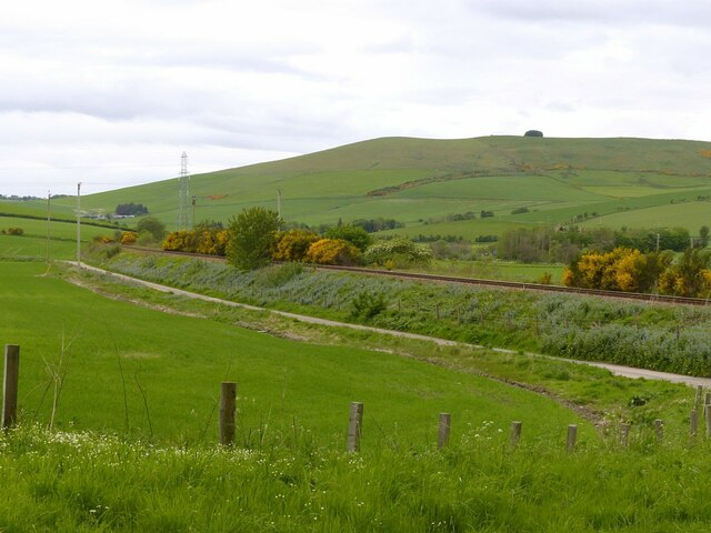
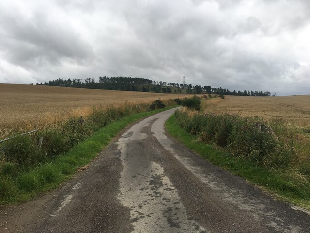
Battle Hill is a prominent hill located in Aberdeenshire, Scotland. Rising to an elevation of around 260 meters (853 feet), it is situated in the eastern part of the county, near the town of Inverurie. The hill offers breathtaking panoramic views of the surrounding countryside, making it a popular destination for hikers, nature enthusiasts, and photographers.
From the summit of Battle Hill, visitors can enjoy sweeping vistas of the Aberdeenshire landscape, with rolling hills, verdant farmland, and scattered woodland stretching as far as the eye can see. On clear days, the views extend even further, encompassing the majestic peaks of the Grampian Mountains to the west.
The name "Battle Hill" is believed to have historical significance, as it is believed to be the site of a battle that took place in the area centuries ago. However, there is limited information available about this event, and it remains a matter of local folklore.
The hill itself is relatively accessible, with a well-maintained path leading to the top. The route is suitable for both experienced hikers and casual walkers, although proper footwear is recommended due to some uneven terrain. Along the way, visitors can enjoy the diverse flora and fauna that inhabit the area, including heather, wildflowers, and various bird species.
In conclusion, Battle Hill in Aberdeenshire offers visitors the opportunity to experience the beauty of the Scottish countryside. With its stunning views, historical significance, and accessible hiking trails, it is a must-visit destination for those seeking a taste of Scotland's natural wonders.
If you have any feedback on the listing, please let us know in the comments section below.
Battle Hill Images
Images are sourced within 2km of 57.448429/-2.7626767 or Grid Reference NJ5440. Thanks to Geograph Open Source API. All images are credited.


Battle Hill is located at Grid Ref: NJ5440 (Lat: 57.448429, Lng: -2.7626767)
Unitary Authority: Aberdeenshire
Police Authority: North East
What 3 Words
///bucket.novelists.clean. Near Huntly, Aberdeenshire
Nearby Locations
Related Wikis
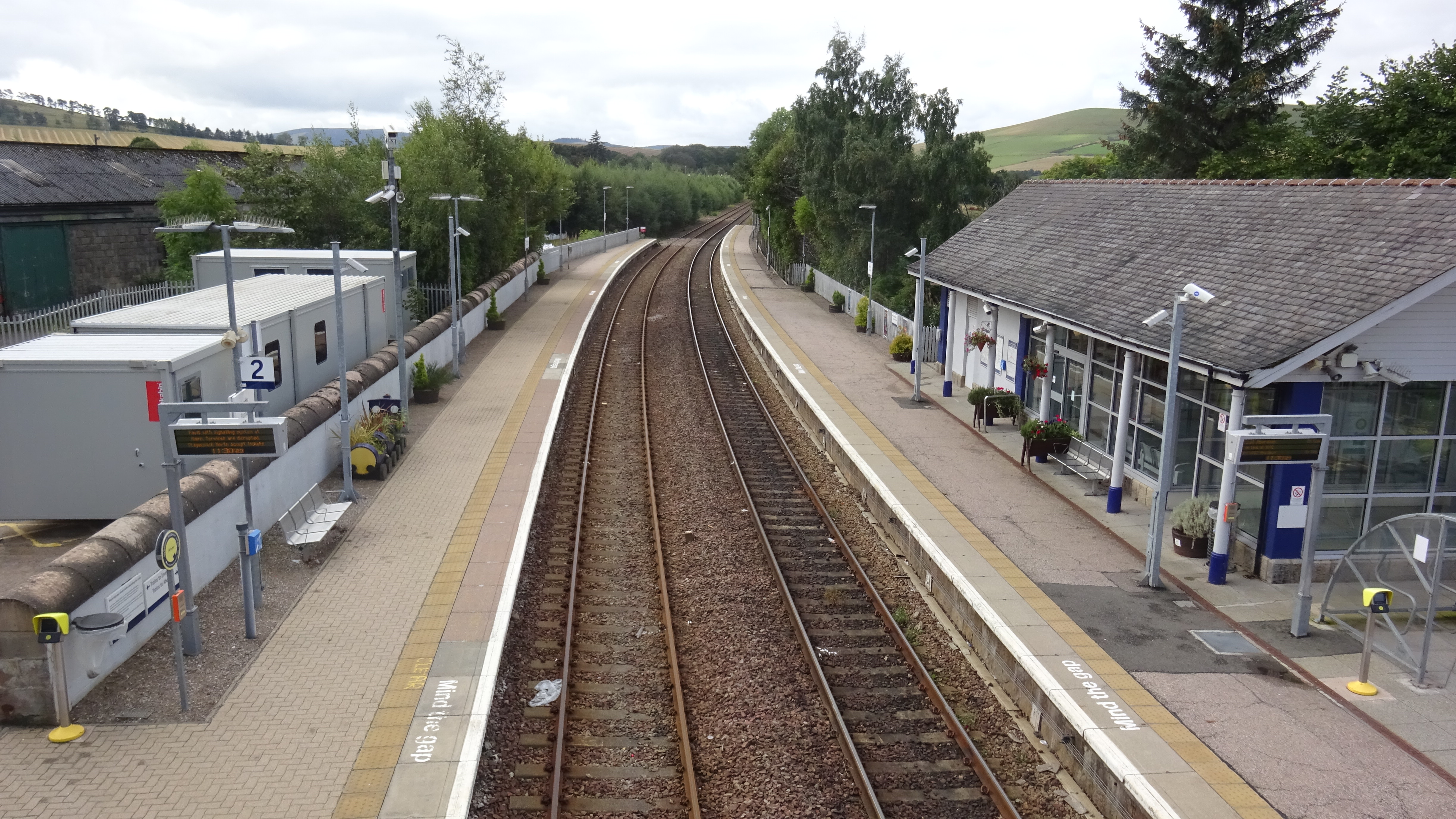
Huntly railway station
Huntly railway station is a railway station serving the town of Huntly in Scotland. The station is managed by ScotRail and is on the Aberdeen to Inverness...
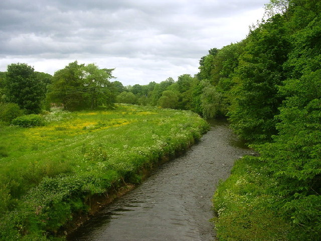
River Bogie
The River Bogie (Scottish Gaelic: Balgaidh), also known as the Water of Bogie, is a river in north-west Aberdeenshire in the north east of Scotland. It...
The Gordon Schools
The Gordon Schools is a six-year, non denominational comprehensive co-educational secondary school located in Huntly, Aberdeenshire, Scotland. It takes...

Deveron Projects
Deveron Projects, formerly Deveron Arts, is a United Kingdom arts organisation based in Huntly, Aberdeenshire, Scotland that hosts international artists...

Stewart's Hall
Stewart's Hall, formerly Huntly Town Hall, is a municipal structure in Gordon Street, Huntly, Aberdeenshire, Scotland. The structure, which is used as...

Huntly
Huntly (Scottish Gaelic: Srath Bhalgaidh or Hunndaidh) is a town in Aberdeenshire, Scotland, formerly known as Milton of Strathbogie or simply Strathbogie...

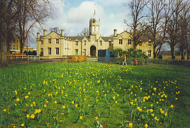
Jubilee Hospital, Huntly
The Jubilee Hospital is a community hospital in Huntly, Aberdeenshire, Scotland. It is managed by NHS Grampian. == History == The hospital, which was financed...
Knichtland Burn
Knichtland Burn is a burn which marks the boundary of the parish of Huntly, Aberdeenshire, Scotland. == References ==
Nearby Amenities
Located within 500m of 57.448429,-2.7626767Have you been to Battle Hill?
Leave your review of Battle Hill below (or comments, questions and feedback).