Ba' Hill
Hill, Mountain in Aberdeenshire
Scotland
Ba' Hill

Ba' Hill is a prominent hill located in Aberdeenshire, Scotland. Standing at an elevation of approximately 480 meters (1,575 feet), it is a notable landmark in the local area. The hill is situated about 5 miles southeast of the town of Fraserburgh, near the village of Strichen.
Ba' Hill is characterized by its distinctive shape and rugged terrain. It features a steep and rocky slope, covered with heather and grasses, which provides an ideal habitat for various species of wildlife and plants. The hill offers stunning panoramic views of the surrounding countryside, including the North Sea coastline, nearby farmland, and the Grampian Mountains in the distance.
The hill is also of historical significance, as it is believed to have been used for defensive purposes during medieval times. There are remnants of an ancient fortification, possibly dating back to the Iron Age, at the summit of Ba' Hill. Archaeological excavations have revealed evidence of human occupation in the area, including pottery fragments and stone tools.
Ba' Hill is a popular destination for outdoor enthusiasts and hikers, who enjoy the challenging ascent and the rewarding vistas at the top. The hill is accessible by foot, with several trails leading to the summit. It is recommended to wear appropriate footwear and be prepared for changing weather conditions, as the hill can be exposed to strong winds and rain.
Overall, Ba' Hill is a captivating natural landmark with both historical and recreational significance, offering visitors a chance to immerse themselves in the beauty of Aberdeenshire's countryside.
If you have any feedback on the listing, please let us know in the comments section below.
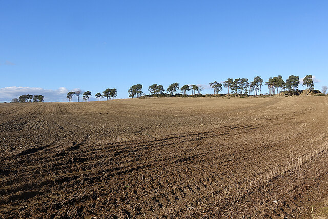
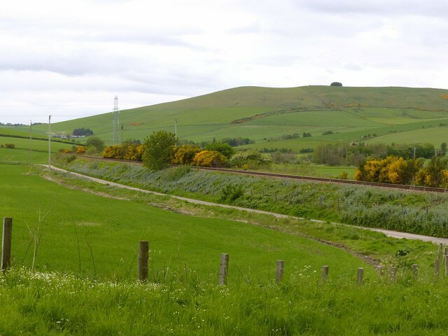
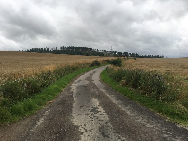
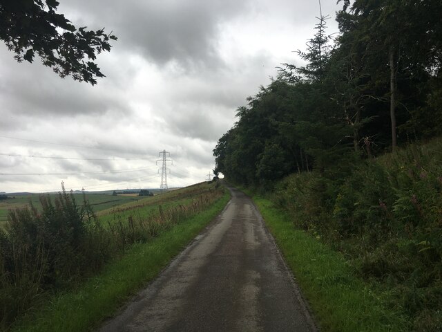
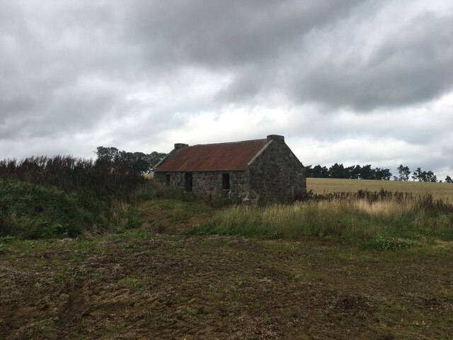
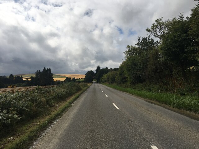
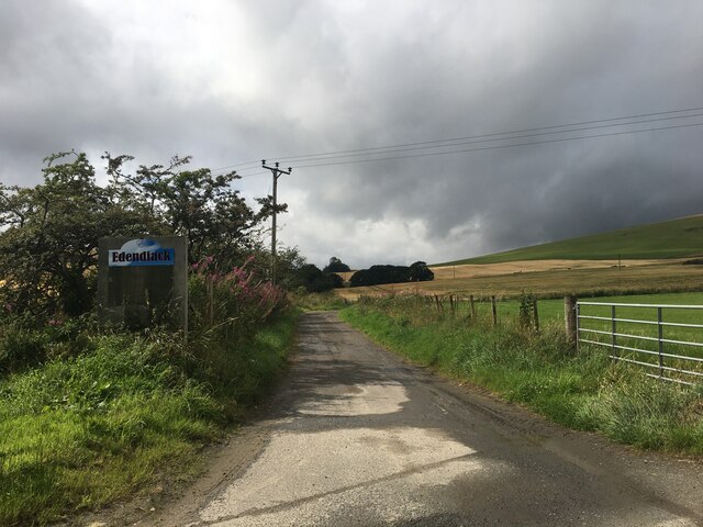
Ba' Hill Images
Images are sourced within 2km of 57.427414/-2.7736634 or Grid Reference NJ5337. Thanks to Geograph Open Source API. All images are credited.


Ba' Hill is located at Grid Ref: NJ5337 (Lat: 57.427414, Lng: -2.7736634)
Unitary Authority: Aberdeenshire
Police Authority: North East
What 3 Words
///thigh.examiner.printout. Near Huntly, Aberdeenshire
Nearby Locations
Related Wikis
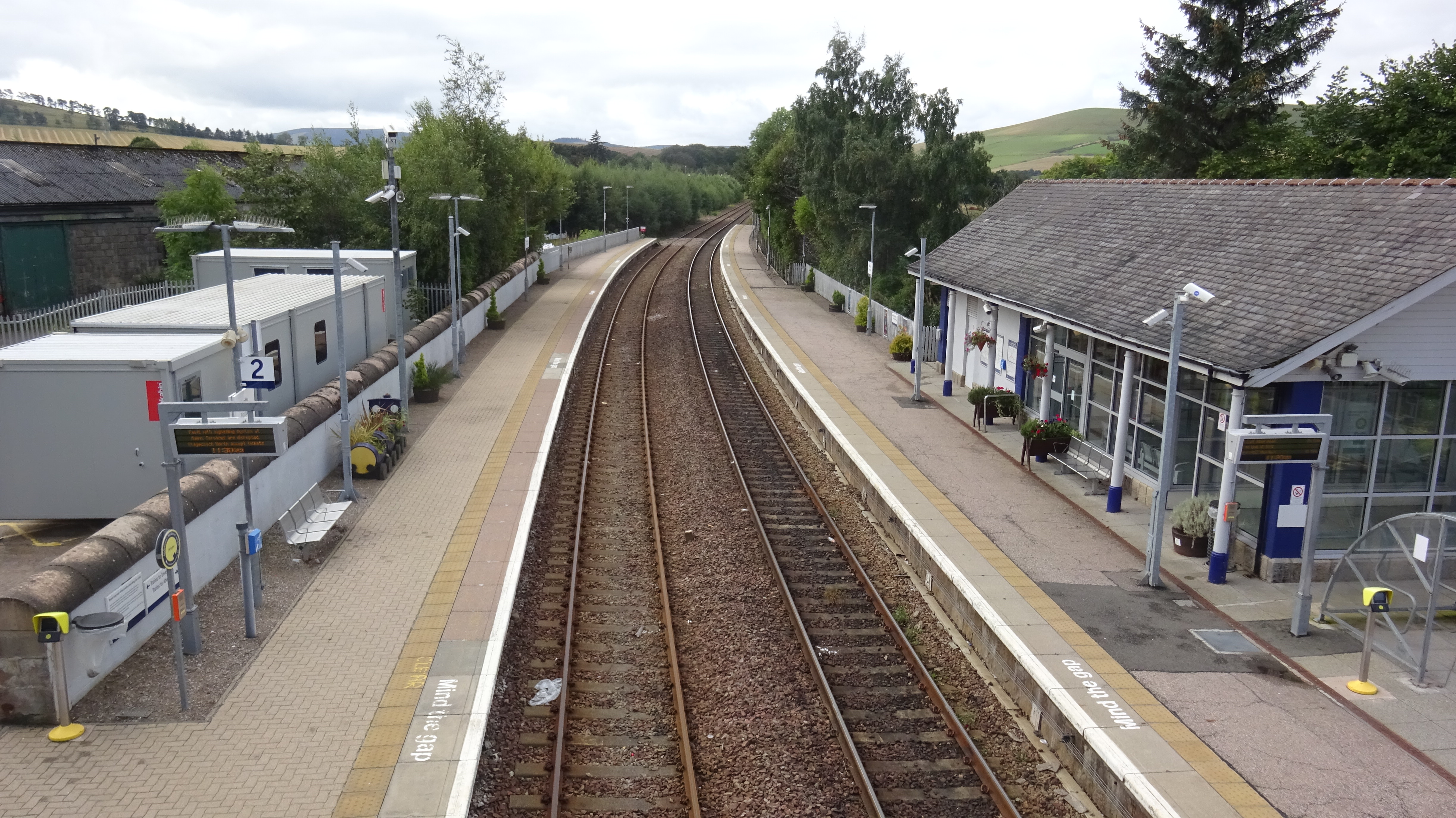
Huntly railway station
Huntly railway station is a railway station serving the town of Huntly in Scotland. The station is managed by ScotRail and is on the Aberdeen to Inverness...

Jubilee Hospital, Huntly
The Jubilee Hospital is a community hospital in Huntly, Aberdeenshire, Scotland. It is managed by NHS Grampian. == History == The hospital, which was financed...

Burn of Tullochbeg
Burn of Tullochbeg is a burn which marks the boundary of the parish of Huntly, Aberdeenshire, Scotland. == References ==

Huntly
Huntly (Scottish Gaelic: Srath Bhalgaidh or Hunndaidh) is a town in Aberdeenshire, Scotland, formerly known as Milton of Strathbogie or simply Strathbogie...
Nearby Amenities
Located within 500m of 57.427414,-2.7736634Have you been to Ba' Hill?
Leave your review of Ba' Hill below (or comments, questions and feedback).