Ann's Hill

Hill, Mountain in Cumberland Carlisle

England

Ann's Hill

The B6318 nearing Roadhead
The B6318 nearing Roadhead Credit: David Purchase

Ann's Hill is a prominent hill located in the region of Cumberland, England. Standing at an elevation of approximately 1,890 feet (576 meters), it is considered one of the notable hills in the area.

Located in the Lake District National Park, Ann's Hill offers breathtaking panoramic views of the surrounding landscape. The hill is characterized by its steep slopes and rugged terrain, attracting outdoor enthusiasts and hikers alike. It is a popular destination for those seeking a challenging climb and an opportunity to immerse themselves in the natural beauty of the region.

Ann's Hill is known for its diverse flora and fauna, with a variety of plant species thriving in its rocky crevices. The hill is home to several bird species, such as the peregrine falcon and the red grouse, making it a haven for birdwatchers.

The hill's name, Ann's Hill, has an interesting origin. It is believed to have been named after a local woman named Ann who resided in the area centuries ago. Although the exact history and significance of Ann remain unknown, her name has become associated with this majestic natural landmark.

Visitors to Ann's Hill can enjoy a range of activities, including hiking, rock climbing, and photography. The hill's proximity to other attractions in the Lake District, such as lakes and picturesque villages, further adds to its appeal. Ann's Hill is an idyllic destination for nature lovers and adventurers seeking to explore the beauty of Cumberland's landscape.

If you have any feedback on the listing, please let us know in the comments section below.
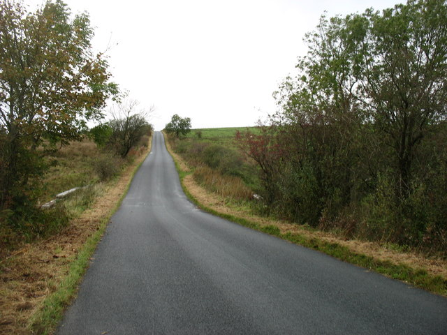
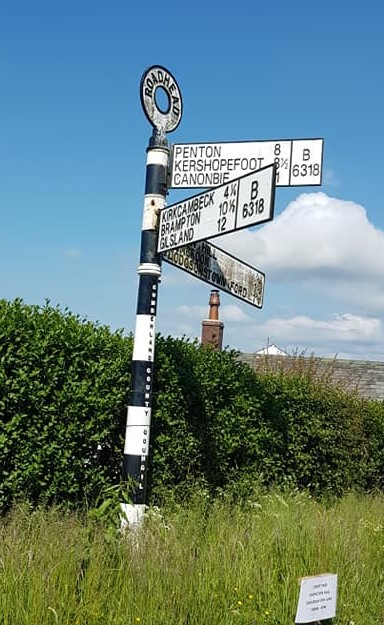
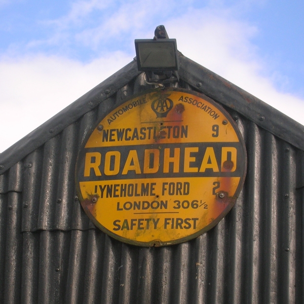
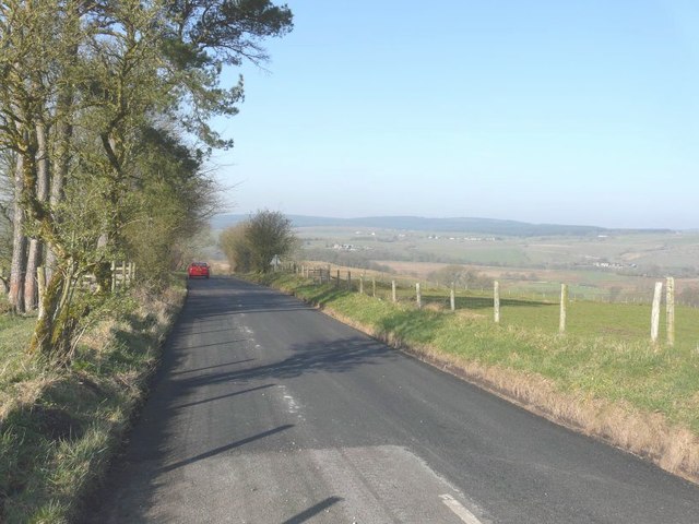
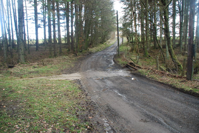
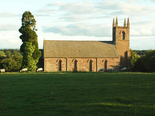
Ann's Hill Images

Images are sourced within 2km of 55.069587/-2.7283239 or Grid Reference NY5375. Thanks to Geograph Open Source API. All images are credited.

The B6318 nearing Roadhead
Old Direction Sign - Signpost by the B6318, Roadhead Annulus finial - 3 arms; Cumberland named halo by the B6318, in parish of Bewcastle (Carlisle District), T-junction at Roadhead, on grass verge, against hedge.

To be surveyed

Milestone Society National ID: CU_NY5174
Old Direction Sign - Signpost by the B6318, Roadhead
Annulus finial - 3 arms; Cumberland named halo by the B6318, in parish of Bewcastle (Carlisle District), T-junction at Roadhead, on grass verge, against hedge. To be surveyed Milestone Society National ID: CU_NY5174
Old AA Sign on the B6318 in Roadhead Old AA Sign located on the corrugated gable end of an old garage on the southeast side of the B6318 in Roadhead, 14 miles northeast of Carlisle. Bewcastle parish.

This is the Circular, village name on black band, no Motor Union symbol or name type, dating from 1923, showing distances Newcastleton 9 Lyneholme Ford 2 London 306½. Last visible on Street View in 2010.

There were five series of AA signs, mostly dating from 1923 and made by Francis & Co / Franco in Deptford, London. The village name and distance to London were displayed.

Milestone Society National ID: CB-ROADH
Old AA Sign on the B6318 in Roadhead
Old AA Sign located on the corrugated gable end of an old garage on the southeast side of the B6318 in Roadhead, 14 miles northeast of Carlisle. Bewcastle parish. This is the Circular, village name on black band, no Motor Union symbol or name type, dating from 1923, showing distances Newcastleton 9 Lyneholme Ford 2 London 306½. Last visible on Street View in 2010. There were five series of AA signs, mostly dating from 1923 and made by Francis & Co / Franco in Deptford, London. The village name and distance to London were displayed. Milestone Society National ID: CB-ROADH
Direction Sign - Signpost south of Blackpool Gate, Bewcastle parish Pawn finial - 3 arms; by the UC road, in parish of Bewcastle (Carlisle District), T-junction between Blackpool Gate, Murray Holme and Brownhill, on grass verge.

To be surveyed

Milestone Society National ID: CU_NY5376
Direction Sign - Signpost south of Blackpool Gate, Bewcastle parish
Pawn finial - 3 arms; by the UC road, in parish of Bewcastle (Carlisle District), T-junction between Blackpool Gate, Murray Holme and Brownhill, on grass verge. To be surveyed Milestone Society National ID: CU_NY5376
Fields and trees above the White Lyne River
Fields above the White Lyne River
Junction of minor roads west of Bewcastle
Direction Sign – Signpost Located on the northeast side of a T junction at Greenholme in Bewcastle parish. 3 arms and annulus finial. See also <span class="nowrap"><a title="http://www.geog.port.ac.uk/webmap/thelakes/photos/bwq06.jpg" rel="nofollow ugc noopener" href="http://www.geog.port.ac.uk/webmap/thelakes/photos/bwq06.jpg">Link</a><img style="margin-left:2px;" alt="External link" title="External link - shift click to open in new window" src="https://s1.geograph.org.uk/img/external.png" width="10" height="10"/></span>.

Milestone Society National ID: CU_NY5474
Direction Sign – Signpost
Located on the northeast side of a T junction at Greenholme in Bewcastle parish. 3 arms and annulus finial. See also LinkExternal link. Milestone Society National ID: CU_NY5474
Westerly view from B6318 In the far distance there is the line of houses along Sleetback Road
Westerly view from B6318
In the far distance there is the line of houses along Sleetback Road
The End of the Road This road leads to Wellington Ford just beyond the gate.
The End of the Road
This road leads to Wellington Ford just beyond the gate.
Lyne Bank Bridge
Lyne Bank Bridge
Looking to Kirkbeckstown
Restored Cumberland County Council signpost This fingerpost looks very smart compared to its rusty old self in 2007 -see <a href="https://www.geograph.org.uk/photo/548248">NY5376 : Old-style signpost</a> .
A considerable number of these signs, which date from around the 1920s, have been renovated in the last few years. A specialist firm was set up in Cumbria to do them, and now works on signposts around the UK <span class="nowrap"><a title="http://www.signpost-restoration.co.uk/index.htm" rel="nofollow ugc noopener" href="http://www.signpost-restoration.co.uk/index.htm">Link</a><img style="margin-left:2px;" alt="External link" title="External link - shift click to open in new window" src="https://s1.geograph.org.uk/img/external.png" width="10" height="10"/></span> .
Restored Cumberland County Council signpost
This fingerpost looks very smart compared to its rusty old self in 2007 -see NY5376 : Old-style signpost . A considerable number of these signs, which date from around the 1920s, have been renovated in the last few years. A specialist firm was set up in Cumbria to do them, and now works on signposts around the UK LinkExternal link .
Roadside verge south of Blackpool Gate A remote spot in country primarily used for sheep grazing.
Roadside verge south of Blackpool Gate
A remote spot in country primarily used for sheep grazing.
Disused telephone exchange near Roadhead See also <a href="https://www.geograph.org.uk/photo/547945">NY5276 : Disused telephone exchange near Roadhead</a>. Now boarded up.
Disused telephone exchange near Roadhead
Park Ford This ford on the Glenright Beck is found at Park.
Park Ford
This ford on the Glenright Beck is found at Park.
Rawney Ford This ford on the Bothrigg Burn is found at Rawney.
<span class="nowrap"><a title="https://youtu.be/8zcH45Gpk0Q" rel="nofollow ugc noopener" href="https://youtu.be/8zcH45Gpk0Q">Link</a><img style="margin-left:2px;" alt="External link" title="External link - shift click to open in new window" src="https://s1.geograph.org.uk/img/external.png" width="10" height="10"/></span>
Rawney Ford
This ford on the Bothrigg Burn is found at Rawney. LinkExternal link
Ford at Wellington Gate This ford is found on the White Lyne at Wellington Gate.
<span class="nowrap"><a title="https://youtu.be/wj0nsZDRypI" rel="nofollow ugc noopener" href="https://youtu.be/wj0nsZDRypI">Link</a><img style="margin-left:2px;" alt="External link" title="External link - shift click to open in new window" src="https://s1.geograph.org.uk/img/external.png" width="10" height="10"/></span>
Ford at Wellington Gate
This ford is found on the White Lyne at Wellington Gate. LinkExternal link
Show me another place!

Ann's Hill is located at Grid Ref: NY5375 (Lat: 55.069587, Lng: -2.7283239)

Administrative County: Cumbria

District: Carlisle

Police Authority: Cumbria

What 3 Words

///brands.relegate.dugouts. Near Brampton, Cumbria

Nearby Locations

Ellery Hill Ann's Hill

Related Wikis

Blackpool Gate

Blackpool Gate is a settlement in the civil parish of Bewcastle, which is in the district of the City of Carlisle in the county of Cumbria, England. It...

Bewcastle Roman Fort

Bewcastle Roman Fort was built to the north of Hadrian's Wall as an outpost fort possibly intended for scouting and intelligence. The remains of the fort...

Bewcastle

Bewcastle is a large civil parish in the Cumberland unitary authority area of Cumbria, England. It is in the historic county of Cumberland. According to...
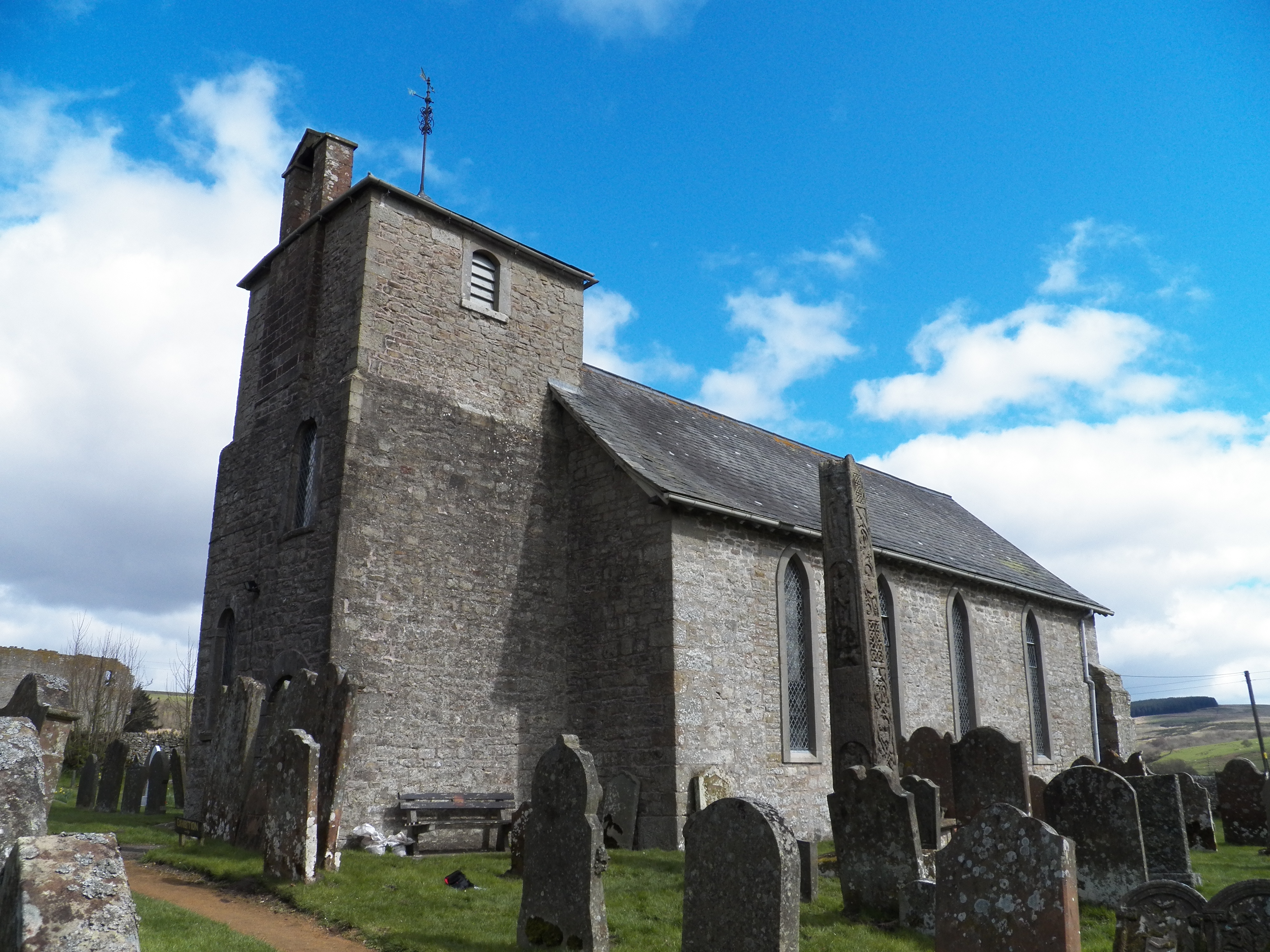
Bewcastle Cross

The Bewcastle Cross is an Anglo-Saxon cross which is still in its original position within the churchyard of St Cuthbert's church at Bewcastle, in the...

Bewcastle Castle

Bewcastle Castle is a ruined castle in the parish of Bewcastle in the English county of Cumbria, a few miles from the Scottish border. == History == The...

Stapleton, Cumbria

Stapleton is a village and civil parish in the City of Carlisle district, in the county of Cumbria, in the North West of England. It falls under the jurisdiction...

Alston Formation

The Alston Formation is a geologic formation in England. It preserves fossils dating back to the Viséan to Serpukhovian (Asbian, Brigantian and Pendleian...

Askerton

Askerton is a civil parish in the City of Carlisle district of Cumbria, England. It has a population of 162 according to the 2001 census, decreasing to...

Nearby Amenities

Located within 500m of 55.069587,-2.7283239
Power: pole
Lat/Long: 55.0689723/-2.7288543
Power: pole
Lat/Long: 55.0689737/-2.7304186
Power: pole
Lat/Long: 55.0689806/-2.7320907
Power: pole
Lat/Long: 55.0689833/-2.7337005
Power: pole
Lat/Long: 55.068986/-2.7354061
Power: pole
Lat/Long: 55.0707321/-2.7349365
Power: pole
Lat/Long: 55.0701094/-2.7350923
Power: pole
Lat/Long: 55.068008/-2.7356169
The data included in this document is from www.openstreetmap.org. The data is made available under ODbL.

Have you been to Ann's Hill?

Leave your review of Ann's Hill below (or comments, questions and feedback).