Blaze Hill
Hill, Mountain in Westmorland Eden
England
Blaze Hill
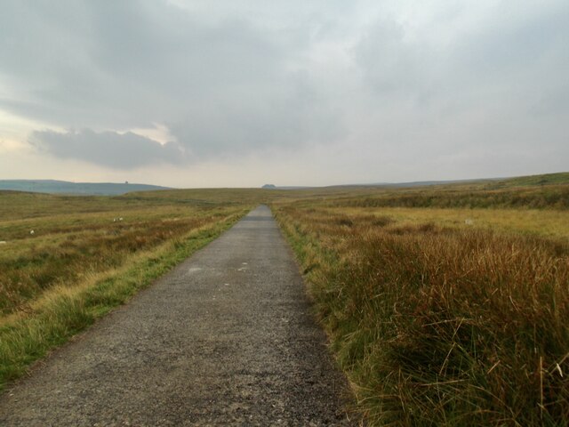
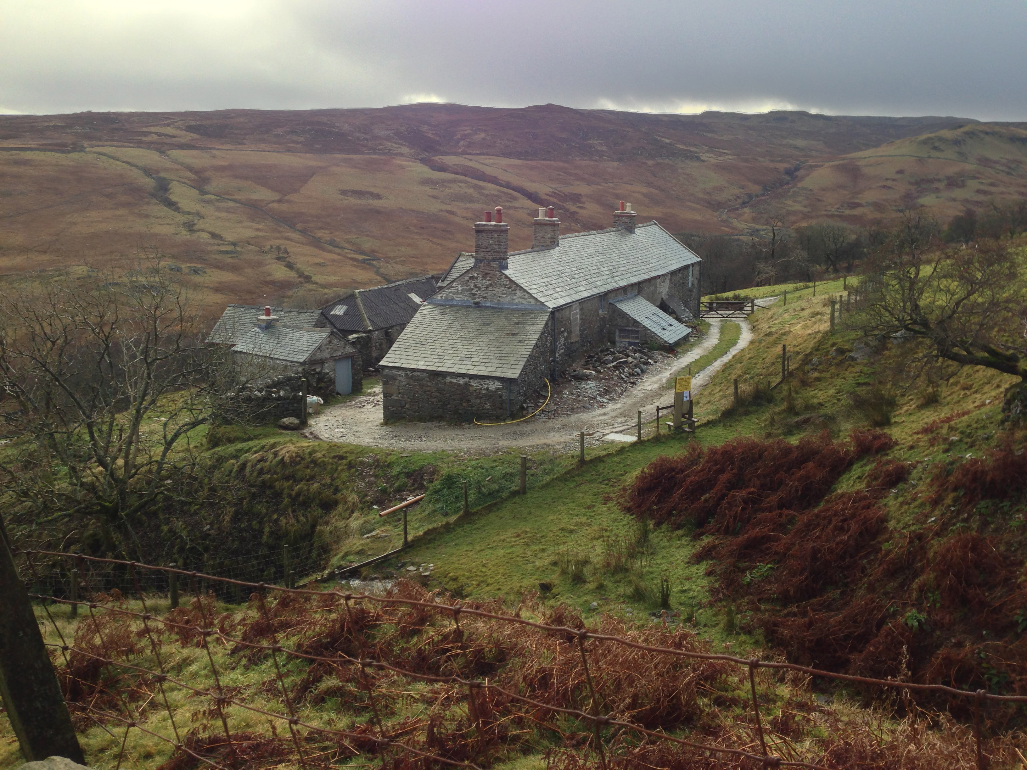
Blaze Hill is a prominent hill located in the county of Westmorland, England. Situated in the Lake District National Park, it forms part of the stunning landscape that characterizes this region. The hill rises to an elevation of approximately 350 meters (1150 feet) above sea level, making it a notable landmark in the area.
Blaze Hill offers breathtaking panoramic views of the surrounding countryside, including the rolling hills, verdant valleys, and expansive lakes that define the Lake District. On clear days, visitors can enjoy vistas stretching as far as the eye can see, with the iconic peaks of the Lake District, such as Helvellyn and Skiddaw, visible in the distance.
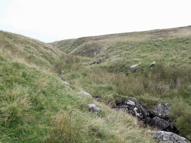
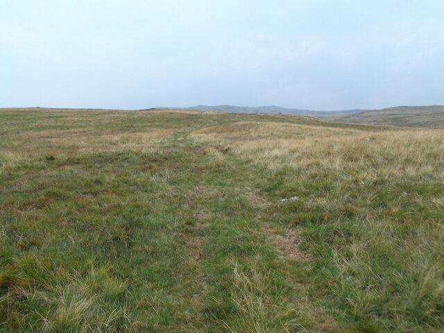
The hill is known for its diverse flora and fauna, with a variety of plant species and wildlife habitats present. It is a haven for nature enthusiasts and hikers, who can explore the network of footpaths and trails that crisscross the area. The hill's slopes are covered with a patchwork of heather, bracken, and grasses, providing a rich habitat for a range of species.
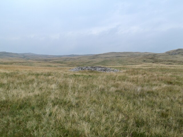
Blaze Hill also has historical significance, with remnants of ancient settlements and stone structures scattered across its slopes. These archaeological remains offer glimpses into the area's past and add an extra layer of intrigue to the hill's allure.
In summary, Blaze Hill in Westmorland is a captivating natural landmark within the Lake District National Park. The hill's stunning views, diverse ecology, and historical significance make it an attractive destination for outdoor enthusiasts and those seeking to immerse themselves in the beauty of the English countryside.
If you have any feedback on the listing, please let us know in the comments section below.
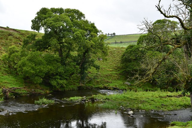
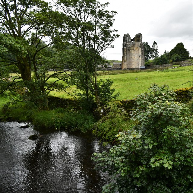
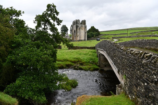
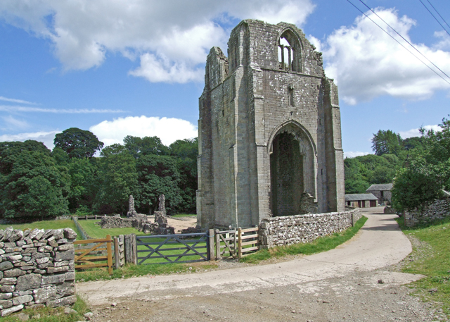
Blaze Hill Images
Images are sourced within 2km of 54.518865/-2.7192748 or Grid Reference NY5313. Thanks to Geograph Open Source API. All images are credited.


Blaze Hill is located at Grid Ref: NY5313 (Lat: 54.518865, Lng: -2.7192748)
Administrative County: Cumbria
District: Eden
Police Authority: Cumbria
What 3 Words
///tramps.awake.producing. Near Shap, Cumbria
Nearby Locations
Related Wikis

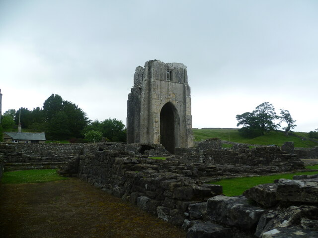
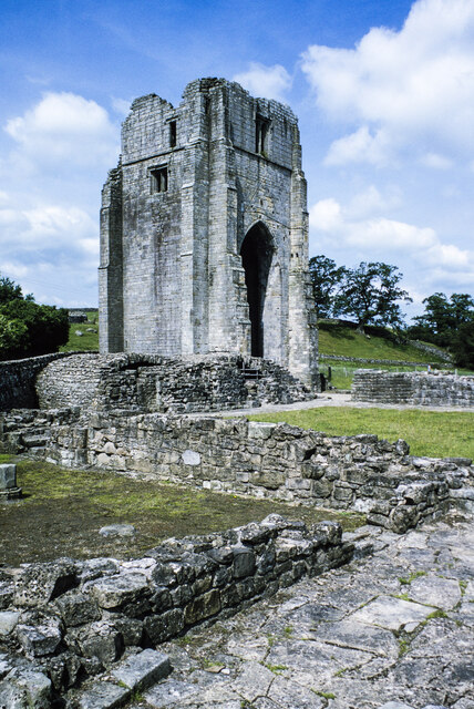
Shap Abbey
Shap Abbey was a religious house of the Premonstratensian order of Canons regular situated on the western bank of the River Lowther in the civil parish...
Shap Rural
Shap Rural is a very large, but sparsely populated, civil parish in the Eden district of Cumbria in England, covering part of the Lake District National...

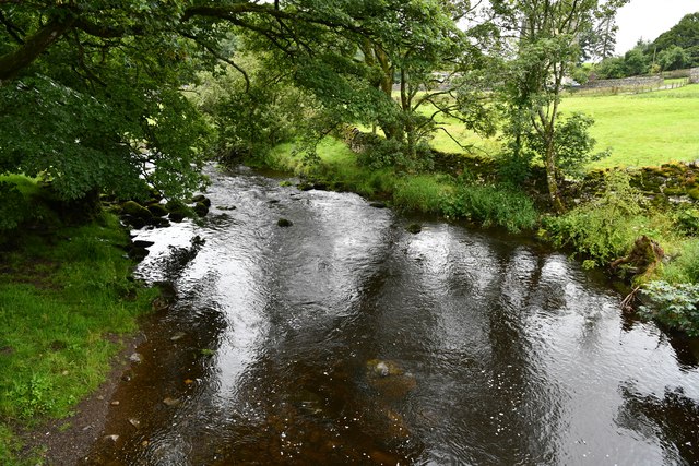
Keld, Cumbria
Keld (or Keilde) is a hamlet in the English county of Cumbria. It lies within the civil parish of Shap. On the banks of the River Lowther it is a mile...

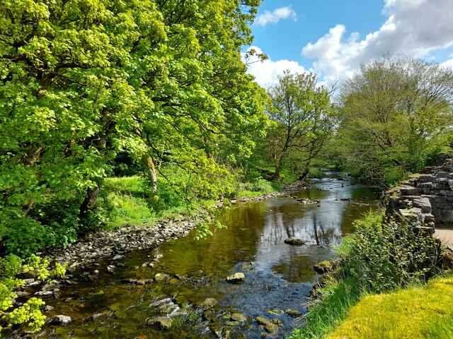
Swindale Beck
Swindale Beck is a stream in Cumbria, England. It is formed at Swindale Head where Mosedale Beck, from the slopes of Tarn Crag, joins Hobgrumble Beck from...
Sleddale Hall
Sleddale Hall is a farmhouse on the north side of the Wet Sleddale valley near Shap in Cumbria, England. It featured as "Crow Crag", Uncle Monty's Lake...

Seat Robert
Seat Robert is a hill in the east of the English Lake District, south west of Shap, Cumbria. It is the subject of a chapter of Wainwright's book The Outlying...

Bomby
Bomby is a village in Cumbria, England. Bomby village consists only of one farm house. The farm is mostly known for its specific potatoes, the Kind Edward...

Naddle Horseshoe
The Naddle Horseshoe is a group of summits in the English Lake District, south of Mardale valley, Cumbria. It is the subject of a chapter of Wainwright...
Nearby Amenities
Located within 500m of 54.518865,-2.7192748Have you been to Blaze Hill?
Leave your review of Blaze Hill below (or comments, questions and feedback).