Bog Hill

Hill, Mountain in Aberdeenshire

Scotland

Bog Hill

Fields at Bothwellseat Low winter light catches a few bales left in the far field.
Fields at Bothwellseat Credit: Anne Burgess

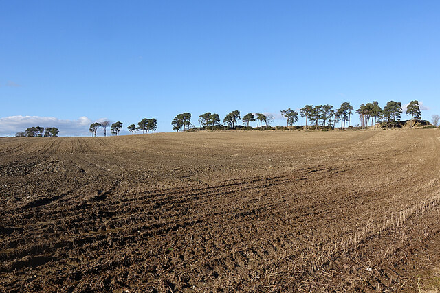
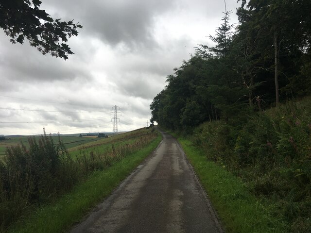
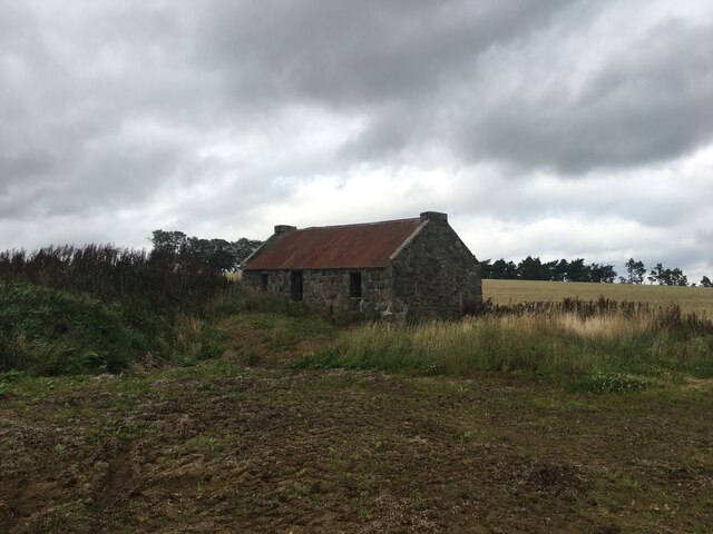
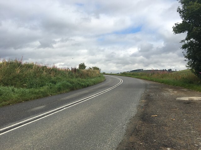
Bog Hill is a prominent hill located in Aberdeenshire, Scotland. It is situated near the village of Tarland and stands at an elevation of 1,866 feet (569 meters) above sea level. The hill is a popular destination for hikers and outdoor enthusiasts due to its stunning views of the surrounding countryside.

Bog Hill is known for its rugged terrain, with steep slopes and rocky outcrops making it a challenging yet rewarding climb. The hill is covered in heather and grasses, and is home to a variety of wildlife including red deer, grouse, and birds of prey.

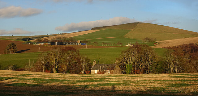
At the summit of Bog Hill, hikers are treated to panoramic views of the Aberdeenshire countryside, with rolling hills and farmland stretching out as far as the eye can see. On a clear day, it is possible to see as far as the Cairngorms National Park in the distance.

Overall, Bog Hill offers a unique and memorable hiking experience for those looking to explore the natural beauty of Aberdeenshire.

If you have any feedback on the listing, please let us know in the comments section below.
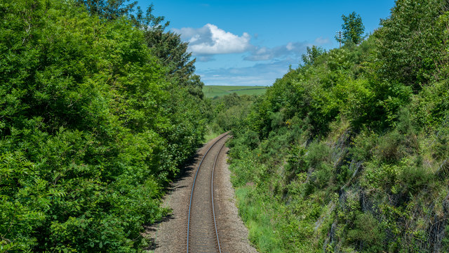
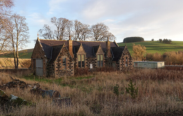
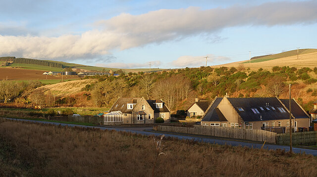
Bog Hill Images

Images are sourced within 2km of 57.413614/-2.7755697 or Grid Reference NJ5336. Thanks to Geograph Open Source API. All images are credited.

Fields at Bothwellseat Low winter light catches a few bales left in the far field.
Fields at Bothwellseat
Low winter light catches a few bales left in the far field.
Scots Pines on the Skyline The line of pines is too narrow to provide much in the way of shelter from the wind in this exposed area.
Scots Pines on the Skyline
The line of pines is too narrow to provide much in the way of shelter from the wind in this exposed area.
Birkenhill Farm Signpost Birkenhill boasts a fine example of a wrought iron sign at its road end. The farm itself is in the next grid square.
Birkenhill Farm Signpost
Birkenhill boasts a fine example of a wrought iron sign at its road end. The farm itself is in the next grid square.
Ploughed Field near Shanquhar Ready for the new crop to be sown.
Ploughed Field near Shanquhar
Ready for the new crop to be sown.
Burn of Cockstown Looking downstream from the bridge at Cadger's Ford.
Burn of Cockstown
Looking downstream from the bridge at Cadger's Ford.
An Empty Field Has it yet to be ploughed, or is it to be left as pasture this year?
An Empty Field
Has it yet to be ploughed, or is it to be left as pasture this year?
Near Kirkhill The whin-covered bank is on the far side of the Burn of Cockstown.
Near Kirkhill
The whin-covered bank is on the far side of the Burn of Cockstown.
Fields near Shanquhar I think the house is Shanquhar Cottage, and Shanquhar itself is mostly hidden by the trees on the left. The wind farm is at Newtongarry.
Fields near Shanquhar
I think the house is Shanquhar Cottage, and Shanquhar itself is mostly hidden by the trees on the left. The wind farm is at Newtongarry.
Backburn The minor road passes close to the houses at Backburn.
Backburn
The minor road passes close to the houses at Backburn.
Road near Bahill Wood
Woodside Cottage, derelict
A97 towards Huntly
A97 towards Huntly
St Andrew's Church
St Andrew's Church
Line near Gartly Mill
Former School The building is instantly recognisable as a school, but it is now disused and for sale.
Former School
The building is instantly recognisable as a school, but it is now disused and for sale.
New Houses A small development of new houses beside Gartly Village Hall. Behind them are the Braes of Bucharn on the other bank of the Ness Bogie. The big farm up the hill is Brawlandknowes.
New Houses
A small development of new houses beside Gartly Village Hall. Behind them are the Braes of Bucharn on the other bank of the Ness Bogie. The big farm up the hill is Brawlandknowes.
Bridgend and Brawlandknowes The building that looks like a cottage is in fact the upper storeys of the West Manse at Bridgend. Just to the right of it is Muirside, with Clashmach Hill on the skyline above. Brawlandknowes is the big farm to the left.
Bridgend and Brawlandknowes
The building that looks like a cottage is in fact the upper storeys of the West Manse at Bridgend. Just to the right of it is Muirside, with Clashmach Hill on the skyline above. Brawlandknowes is the big farm to the left.
West Manse This manse was originally built in 1844 for the minister of the Free Kirk next door, which has since been demolished. In the garden are a bellcote with a (or the) Hugh Gordon bell. It is a Category C Listed building.
West Manse
This manse was originally built in 1844 for the minister of the Free Kirk next door, which has since been demolished. In the garden are a bellcote with a (or the) Hugh Gordon bell. It is a Category C Listed building.
Show me another place!

Bog Hill is located at Grid Ref: NJ5336 (Lat: 57.413614, Lng: -2.7755697)

Unitary Authority: Aberdeenshire

Police Authority: North East

What 3 Words

///logged.lyricism.overcomes. Near Huntly, Aberdeenshire

Nearby Locations

Bog Hill

Related Wikis

Backburn

Backburn is a rural settlement near Gartly in Aberdeenshire, Scotland. == References ==

Burn of Tullochbeg

Burn of Tullochbeg is a burn which marks the boundary of the parish of Huntly, Aberdeenshire, Scotland. == References ==

Strathbogie, Scotland

Strathbogie (Scottish Gaelic: Srath Bhalgaidh) is the valley of the River Bogie in Aberdeenshire, Scotland. It was formerly a lordship belonging to the...

Battle of Slioch

The Battle of Slioch was a minor skirmish in the First War of Scottish Independence. Although the encounter was inconclusive, the domestic enemies of the...

Nearby Amenities

Located within 500m of 57.413614,-2.7755697
The Broback
Ele: 253
Natural: peak
Lat/Long: 57.413301/-2.7677793
The data included in this document is from www.openstreetmap.org. The data is made available under ODbL.

Have you been to Bog Hill?

Leave your review of Bog Hill below (or comments, questions and feedback).