Abbot's Hill
Hill, Mountain in Dorset
England
Abbot's Hill
Abbot's Hill, located in the county of Dorset, is a prominent hill that offers picturesque views of the surrounding landscape. Standing at an elevation of 250 meters (820 feet), it is considered one of the highest points in the area, making it a popular destination for nature enthusiasts and hikers alike.
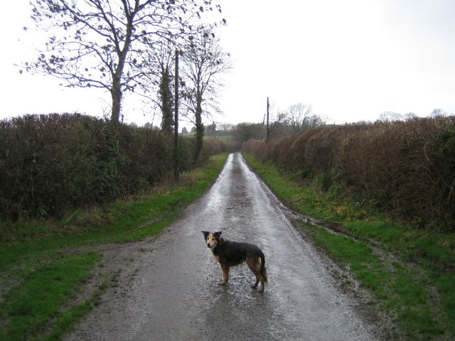
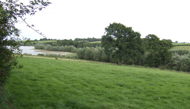
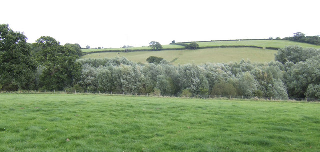
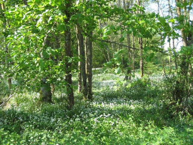
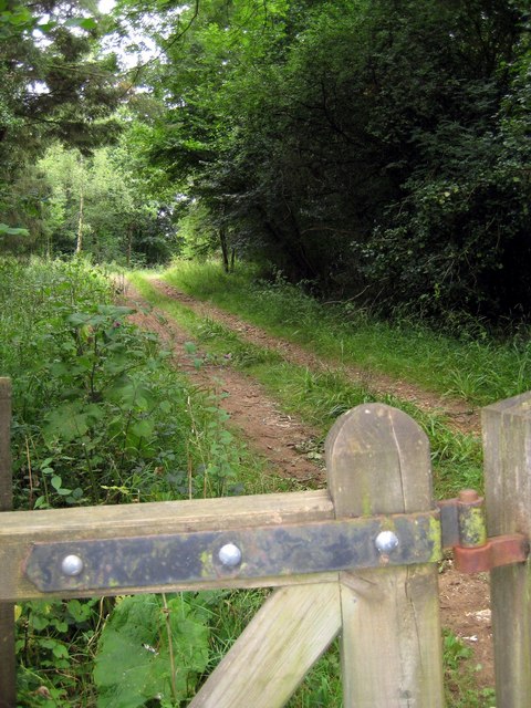
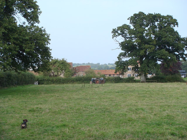
Situated in a rural setting, Abbot's Hill is characterized by its rolling green hills, dense vegetation, and stunning panoramic vistas. The hill is covered in lush grass and dotted with occasional patches of wildflowers, creating a vibrant and colorful landscape during the summer months.
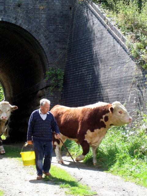
The hill is home to a diverse range of flora and fauna, with numerous species of birds, insects, and small mammals inhabiting its slopes. As visitors explore the hill, they may encounter rabbits, foxes, and even the occasional deer.
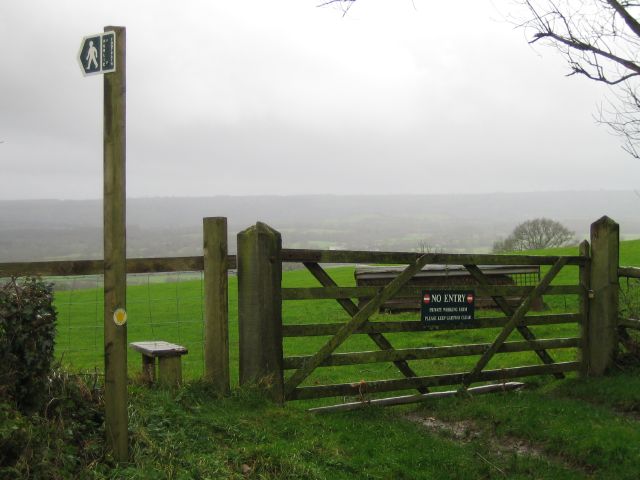
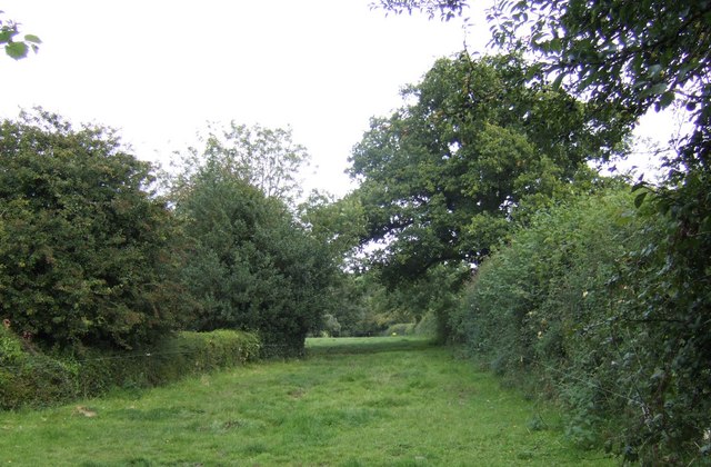
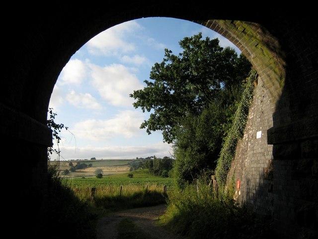
For outdoor enthusiasts, Abbot's Hill offers a network of well-maintained hiking trails that cater to different difficulty levels, providing options for both casual walkers and experienced trekkers. These trails wind through the hill's undulating terrain, offering breathtaking views of the Dorset countryside and the nearby coastline.
At the summit of Abbot's Hill, visitors are rewarded with a panoramic view that stretches as far as the eye can see. On clear days, it is possible to catch glimpses of the English Channel and the Isle of Wight in the distance, making the hill a favorite spot for photographers and nature lovers seeking to capture the beauty of the region.
Overall, Abbot's Hill in Dorset is a natural gem that offers stunning vistas, diverse wildlife, and a peaceful retreat for those seeking to connect with nature.
If you have any feedback on the listing, please let us know in the comments section below.
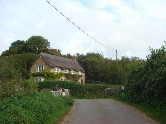
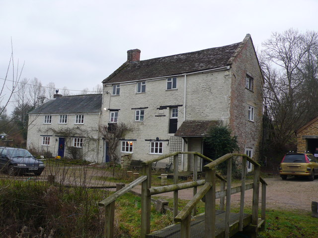
Abbot's Hill Images
Images are sourced within 2km of 50.884152/-2.6655024 or Grid Reference ST5309. Thanks to Geograph Open Source API. All images are credited.
Abbot's Hill is located at Grid Ref: ST5309 (Lat: 50.884152, Lng: -2.6655024)
Unitary Authority: Dorset
Police Authority: Dorset
What 3 Words
///gong.thirsty.submerge. Near West Coker, Somerset
Nearby Locations
Related Wikis

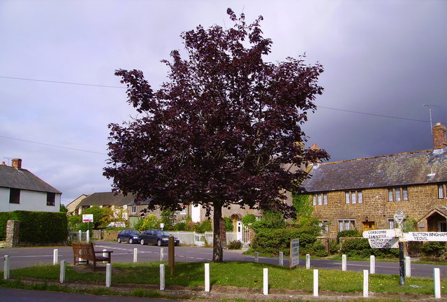
Pendomer
Pendomer is a village and former parish in the parish of Closworth, 4.5 miles south-west of Yeovil, in the county of Somerset, England, and on the border...
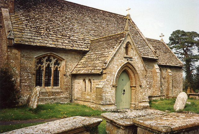
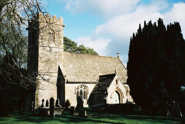
Church of St Roch, Pendomer
The Anglican Church of St Roch at Pendomer in Closworth, Somerset, England was built in the 14th century. It is a Grade II* listed building. == History... ==

Halstock
Halstock is a village and civil parish in the county of Dorset in southern England, situated approximately five miles (8.0 km) south of Yeovil in Somerset...
Grove Farm, Somerset
Grove Farm (grid reference ST513096) is a 36.5 hectare (90.2 acre) biological Site of Special Scientific Interest in Somerset, notified in 1989. This site...
Church of All Saints, Sutton Bingham
The Church of All Saints in Sutton Bingham in the civil parish of Closworth, Somerset, England, dates from the 12th and 13th centuries and has been designated...

Sutton Bingham Reservoir
Sutton Bingham Reservoir is a reservoir near the village of Sutton Bingham in the civil parish of Closworth, Somerset, England. The reservoir was built...

Sutton Bingham Halt railway station
Sutton Bingham Halt railway station served the hamlet of Sutton Bingham, South Somerset, England, from 1860 to 1962 on the West of England line. ��2�...

Coker Court
Coker Court is a substantial manor house in East Coker, Somerset, England. It was built in the fifteenth and eighteenth centuries and has been designated...
Have you been to Abbot's Hill?
Leave your review of Abbot's Hill below (or comments, questions and feedback).