Brackloch Craig
Hill, Mountain in Aberdeenshire
Scotland
Brackloch Craig

Brackloch Craig is a prominent hill located in Aberdeenshire, Scotland. It is part of the larger Cairngorms National Park, which is known for its stunning natural beauty and diverse wildlife. Brackloch Craig stands at an elevation of approximately 803 meters (2,635 feet) and is a popular destination for hikers and nature enthusiasts.
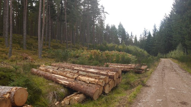
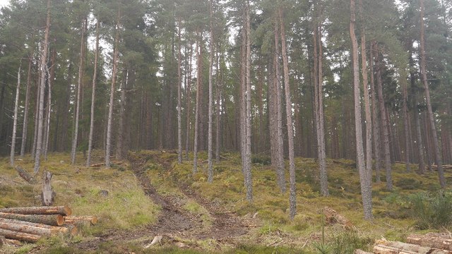
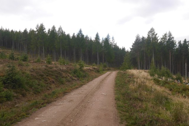
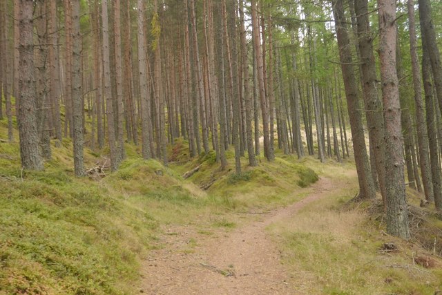
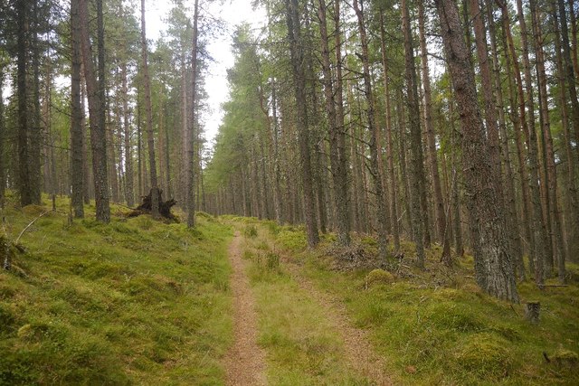
The hill offers breathtaking panoramic views of the surrounding landscape, including the picturesque River Dee and the rolling hills of Aberdeenshire. The terrain is characterized by heather-covered moorland, rocky outcrops, and scattered birch trees, creating a unique and rugged atmosphere.
The ascent to the summit of Brackloch Craig can be challenging, with steep gradients and uneven ground. However, the effort is rewarded with stunning vistas and a sense of accomplishment. The hill is also home to various species of birds, including golden eagles, peregrine falcons, and red grouse, making it a haven for birdwatching enthusiasts.
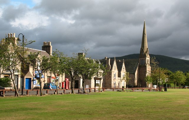
The area surrounding Brackloch Craig is rich in history and cultural heritage. There are several ancient settlements and archaeological sites nearby, providing insights into the region's past. Additionally, the hill is situated close to the village of Ballater, which offers amenities such as accommodation, restaurants, and shops for visitors to enjoy.
Overall, Brackloch Craig is a must-visit destination for outdoor enthusiasts seeking a challenging hike, stunning views, and a chance to immerse themselves in the natural beauty of Aberdeenshire.
If you have any feedback on the listing, please let us know in the comments section below.
Brackloch Craig Images
Images are sourced within 2km of 57.047606/-2.7777136 or Grid Reference NO5295. Thanks to Geograph Open Source API. All images are credited.


Brackloch Craig is located at Grid Ref: NO5295 (Lat: 57.047606, Lng: -2.7777136)
Unitary Authority: Aberdeenshire
Police Authority: North East
What 3 Words
///stoppage.selects.laughs. Near Aboyne, Aberdeenshire
Nearby Locations
Related Wikis

Birsemore
Birsemore is a village in Aberdeenshire, Scotland opposite Aboyne on the River Dee. == References ==

Water of Tanar
Water of Tanar is a river of the Grampian Mountains of Aberdeenshire, Scotland. It flows through Glen Tanar to join the River Dee at the mouth of the glen...

Birse
Birse (Scottish Gaelic: Braois/Breis) is a parish in the Lower Deeside area of Aberdeenshire, Scotland, which includes the communities of Finzean and Ballogie...
Aboyne
Aboyne (Scots: Abyne, Scottish Gaelic: Abèidh) is a village on the edge of the Highlands in Aberdeenshire, Scotland, on the River Dee, approximately 30...
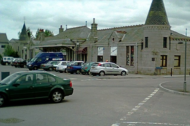
Aboyne railway station
Aboyne railway station was a station which served Aboyne in the Scottish county of Aberdeenshire. It was served by trains on the line from Aberdeen to...
Aboyne Academy
Aboyne Academy is a secondary school in Aboyne, Aberdeenshire, Scotland. The school is located on the Western side of the village and serves many other...

Aboyne Hospital
Aboyne Hospital is a community hospital in Bellwood Road, Aboyne, Scotland. It is managed by NHS Grampian. == History == The facility, which was designed...
Kinminity
Kinminity is a former village located south-east of Birse, Aberdeenshire in Scotland. == History == The property was in hands of the cadet family of Sutherlands...
Nearby Amenities
Located within 500m of 57.047606,-2.7777136Have you been to Brackloch Craig?
Leave your review of Brackloch Craig below (or comments, questions and feedback).