Dovecot Hill
Hill, Mountain in Aberdeenshire
Scotland
Dovecot Hill
Dovecot Hill is a prominent hill located in Aberdeenshire, Scotland. Rising to an elevation of 149 meters (489 feet), it is situated in the charming village of Insch, approximately 30 miles northwest of Aberdeen. The hill is part of the rolling landscape that characterizes the region, offering picturesque views of the surrounding countryside.
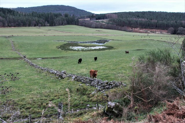
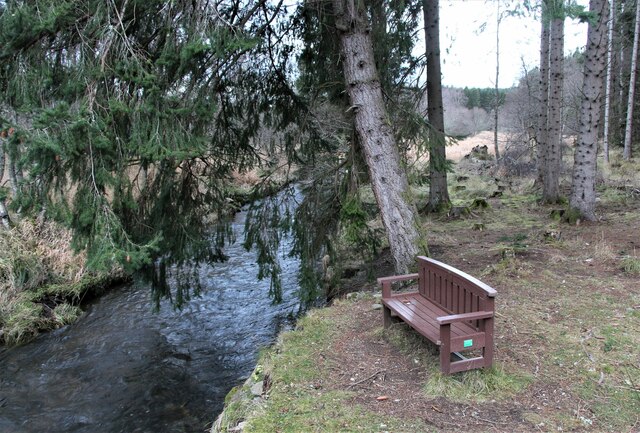
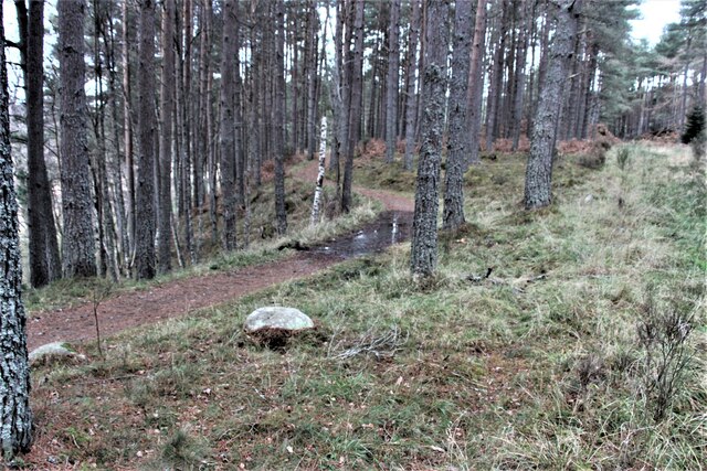
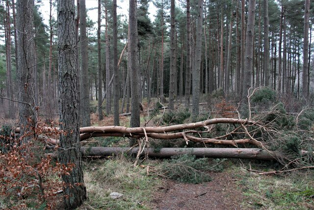
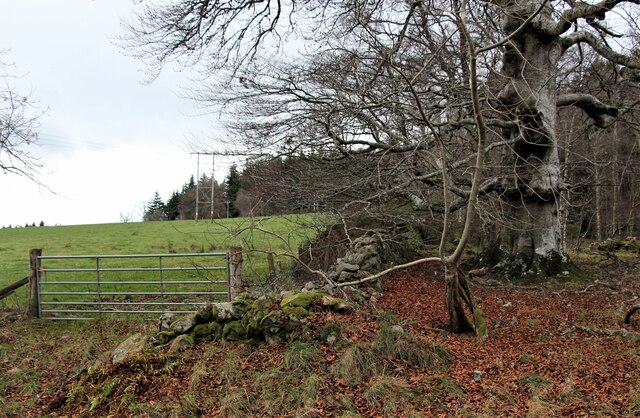
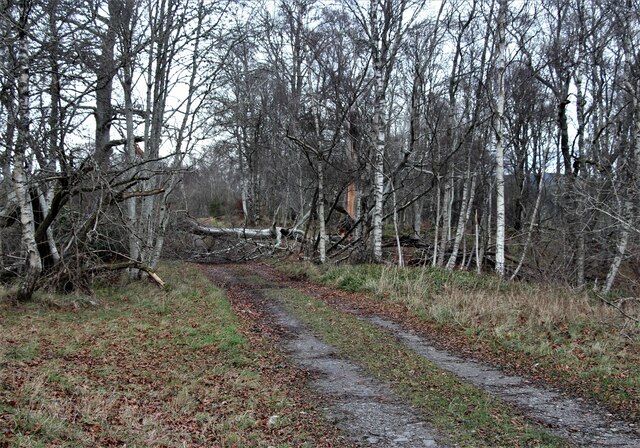
Dovecot Hill is a popular destination for both locals and tourists alike, attracting outdoor enthusiasts and nature lovers. The hill is accessible via well-maintained trails, making it an ideal location for hikers and walkers of all abilities. The paths wind through a mixture of grasslands, woodlands, and farmlands, providing a diverse and scenic experience.
At the summit of Dovecot Hill, there is an ancient fort known as The Doune. This historical site dates back to the Iron Age and offers a glimpse into the region's rich past. The fort's remnants include stone ramparts and ditches, serving as a testament to the hill's strategic importance in ancient times.
Visitors to Dovecot Hill can also enjoy the sight of various wildlife species, including birds, rabbits, and occasionally deer. The hill is renowned for its vibrant flora, with an array of wildflowers and trees adorning its slopes.
Overall, Dovecot Hill offers a tranquil escape from the hustle and bustle of daily life, providing an opportunity to immerse oneself in nature and enjoy breathtaking panoramic views of Aberdeenshire's captivating landscape.
If you have any feedback on the listing, please let us know in the comments section below.
Dovecot Hill Images
Images are sourced within 2km of 57.083167/-2.7798438 or Grid Reference NO5299. Thanks to Geograph Open Source API. All images are credited.


Dovecot Hill is located at Grid Ref: NO5299 (Lat: 57.083167, Lng: -2.7798438)
Unitary Authority: Aberdeenshire
Police Authority: North East
What 3 Words
///sampled.manicured.dance. Near Aboyne, Aberdeenshire
Nearby Locations
Related Wikis
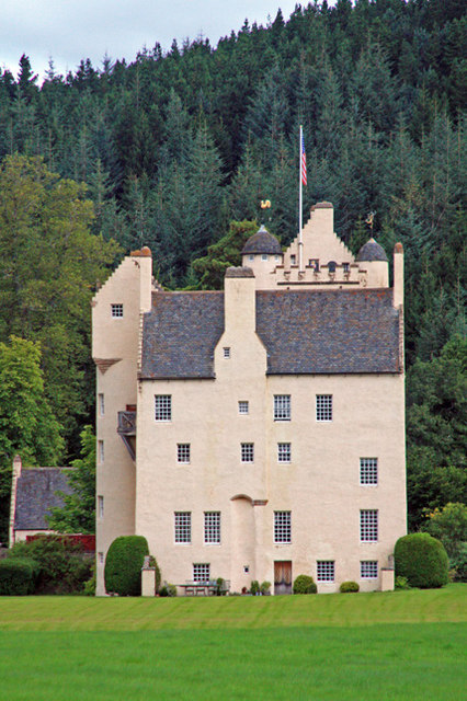
Aboyne Castle
Aboyne Castle (historical name: castrum de Obeyn; alternate names: Castle Of Aboyne or Aboyne Castle Policies; also Bonty Castle or Bunty Castle) is a...

Aboyne Golf Club
Aboyne Golf Club is the oldest golf course in Royal Deeside, Scotland. It lies southwest of the Loch of Aboyne.The golf club was originally a nine-hole...
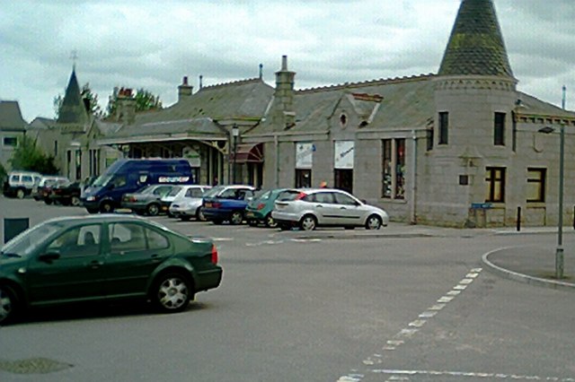
Aboyne railway station
Aboyne railway station was a station which served Aboyne in the Scottish county of Aberdeenshire. It was served by trains on the line from Aberdeen to...
Aboyne Curling Pond railway station
Aboyne Curling Pond railway station, Loch of Aboyne Platform or Curlers' Platform was a private station opened on the Deeside Extension Railway for the...
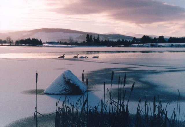
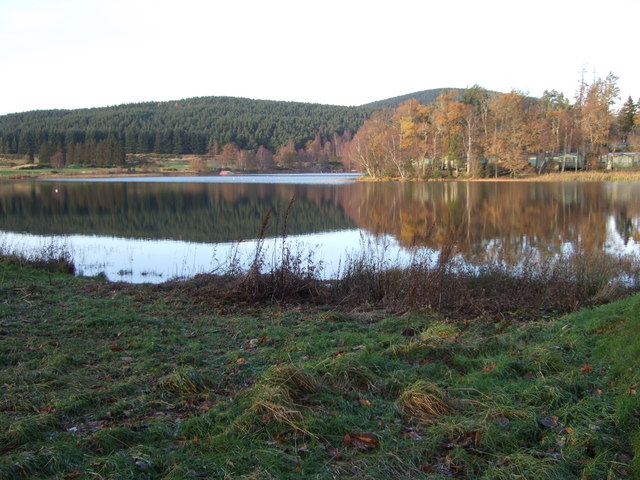
Loch of Aboyne
Loch of Aboyne is a shallow, artificial formed, freshwater loch in Grampian, Scotland. It lies 1+1⁄4 miles (2 km) northeast of Aboyne and 28 miles (45...
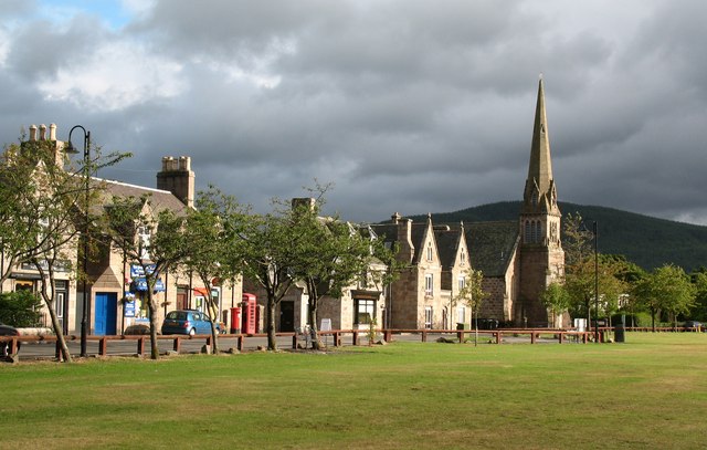
Aboyne
Aboyne (Scots: Abyne, Scottish Gaelic: Abèidh) is a village on the edge of the Highlands in Aberdeenshire, Scotland, on the River Dee, approximately 30...

Aboyne Hospital
Aboyne Hospital is a community hospital in Bellwood Road, Aboyne, Scotland. It is managed by NHS Grampian. == History == The facility, which was designed...
Aboyne Academy
Aboyne Academy is a secondary school in Aboyne, Aberdeenshire, Scotland. The school is located on the Western side of the village and serves many other...
Related Videos
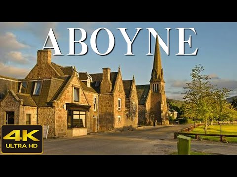
Aboyne Scotland Walking Tour 4K, May 2023
Aboyne Scotland Walking Tour 4K, May 2023. Join me on an enchanting exploration of Aboyne Village in Scotland.
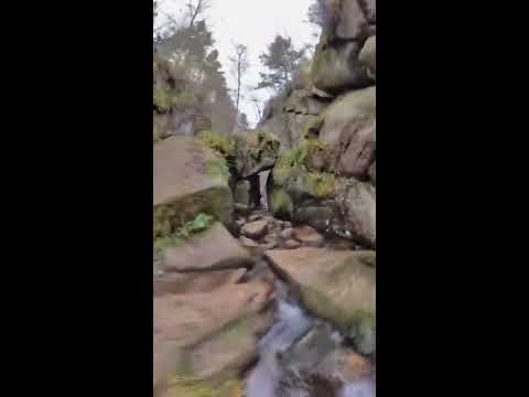
Burn of Vat
The Burn o Vat near Aboyne Aberdeenshire.

Aboyne Stone Circle (pocket sized).
Donations much appreciated https://www.paypal.com/paypalme/larrybees Aboyne Stone Circle: An extremely small stone circle; ...

Nearby Amenities
Located within 500m of 57.083167,-2.7798438Have you been to Dovecot Hill?
Leave your review of Dovecot Hill below (or comments, questions and feedback).