Birsemore Hill

Hill, Mountain in Aberdeenshire

Scotland

Birsemore Hill

Track on Birsemore Hill The track goes right round Birsemore Hill, which is on the right.
Track on Birsemore Hill Credit: Anne Burgess

Birsemore Hill is a prominent hill located in Aberdeenshire, Scotland. Standing at an elevation of approximately 450 meters (1,480 feet), it is part of the Grampian Mountains range. The hill is situated about 40 kilometers (25 miles) west of Aberdeen, near the village of Finzean.

Birsemore Hill offers breathtaking panoramic views of the surrounding landscape, including the beautiful River Dee valley and the nearby hills of Mount Battock and Mount Keen. The hill is characterized by its gentle slopes and is covered in heather and grasses, providing a picturesque setting for hikers and nature enthusiasts.

The ascent to the summit of Birsemore Hill is relatively easy, making it a popular destination for outdoor activities such as hillwalking and birdwatching. The hill is home to a variety of bird species, including golden eagles, buzzards, and peregrine falcons. Wildlife such as red deer and mountain hares can also be spotted in the area.

Birsemore Hill is steeped in history, with several ancient sites located nearby. The hill is believed to have been used as a ceremonial site by the Picts, an ancient Celtic people. Additionally, remnants of prehistoric settlements and stone circles can be found in the surrounding area.

Overall, Birsemore Hill offers visitors a chance to experience the natural beauty and rich history of Aberdeenshire. Whether it's for a peaceful hike or to immerse oneself in the region's ancient past, this hill is a must-visit destination for outdoor enthusiasts and history buffs alike.

If you have any feedback on the listing, please let us know in the comments section below.

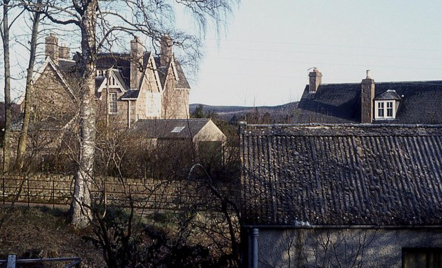
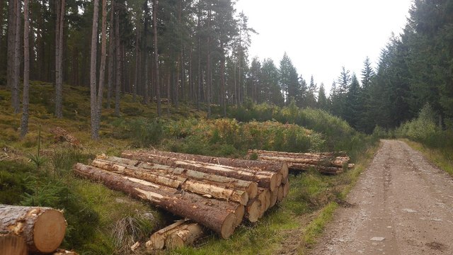
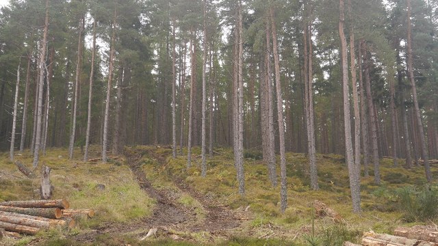
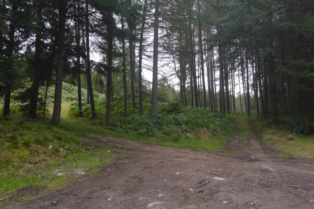
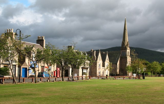
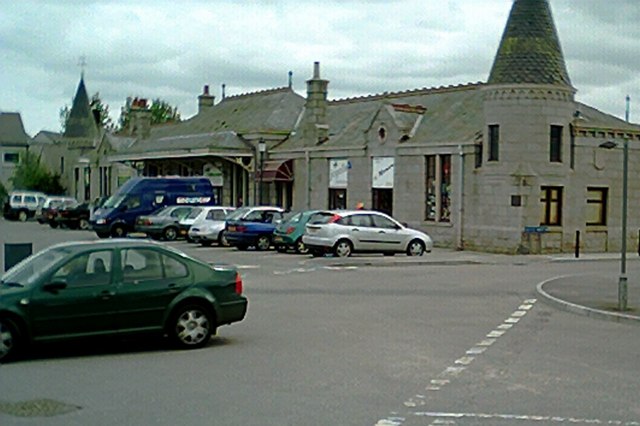
Birsemore Hill Images

Images are sourced within 2km of 57.052705/-2.7811832 or Grid Reference NO5296. Thanks to Geograph Open Source API. All images are credited.

Track on Birsemore Hill The track goes right round Birsemore Hill, which is on the right.
Track on Birsemore Hill
The track goes right round Birsemore Hill, which is on the right.
Water Tank This tank feeds two smaller tanks further down, but I'm not sure what they supply.
Water Tank
This tank feeds two smaller tanks further down, but I'm not sure what they supply.
Hidden Dyke The bracken hides a crumbling dyke of pink granite blocks.
Hidden Dyke
The bracken hides a crumbling dyke of pink granite blocks.
Granite houses near Ballater
Aboyne - Birsemore Suburb on the South Deeside Road.
Aboyne - Birsemore
Suburb on the South Deeside Road.
Log piles, Balfour Forest Thinning in progress.
Log piles, Balfour Forest
Thinning in progress.
Thinning, Balfour Forest A community woodland.  There are few old trees here, the area was nearly clear felled completely in the two big twentieth century wars - there was a Canadian work camp nearby in World War II.  The few trees which survived the war were taken out by the great gale of 1953.   The forest is now restored.
Thinning, Balfour Forest
A community woodland. There are few old trees here, the area was nearly clear felled completely in the two big twentieth century wars - there was a Canadian work camp nearby in World War II. The few trees which survived the war were taken out by the great gale of 1953. The forest is now restored.
Path, Balfour Forest The path goes through the woods over to Glencat or along the side of Craig Ferg.
Path, Balfour Forest
The path goes through the woods over to Glencat or along the side of Craig Ferg.
Path, Balfour Forest The netting and sign is there due to forestry work further down the hill.  The owners do not want folk turning up at high speed where the trees are being thinned.
Path, Balfour Forest
The netting and sign is there due to forestry work further down the hill. The owners do not want folk turning up at high speed where the trees are being thinned.
Balfour Forest There is some path building going on in this part of the wood.
Balfour Forest
There is some path building going on in this part of the wood.
The River Dee at Aboyne Looking upstream from the B968 bridge. Ahead, there is an island in the river, which flows on both sides.
The River Dee at Aboyne
Looking upstream from the B968 bridge. Ahead, there is an island in the river, which flows on both sides.
River Dee Bridge, near Aboyne
Road at Birsemore near Aboyne Looking south-westward.
Road at Birsemore near Aboyne
Looking south-westward.
Path by the River Dee
River Dee, Aboyne
River Dee, Aboyne
Knappy Park Woodland, Birse
Knappy Park
Woodland, Birse
Tracks into Knappy Park
Show me another place!

Birsemore Hill is located at Grid Ref: NO5296 (Lat: 57.052705, Lng: -2.7811832)

Unitary Authority: Aberdeenshire

Police Authority: North East

What 3 Words

///teeth.louder.spent. Near Aboyne, Aberdeenshire

Nearby Locations

Birsemore Hill

Related Wikis

Birsemore

Birsemore is a village in Aberdeenshire, Scotland opposite Aboyne on the River Dee. == References ==

Water of Tanar

Water of Tanar is a river of the Grampian Mountains of Aberdeenshire, Scotland. It flows through Glen Tanar to join the River Dee at the mouth of the glen...

Aboyne

Aboyne (Scots: Abyne, Scottish Gaelic: Abèidh) is a village on the edge of the Highlands in Aberdeenshire, Scotland, on the River Dee, approximately 30...

Aboyne railway station

Aboyne railway station was a station which served Aboyne in the Scottish county of Aberdeenshire. It was served by trains on the line from Aberdeen to...

Nearby Amenities

Located within 500m of 57.052705,-2.7811832
Birsemore Hill
Ele: 333
Natural: peak
Lat/Long: 57.054216/-2.7804618
The data included in this document is from www.openstreetmap.org. The data is made available under ODbL.

Have you been to Birsemore Hill?

Leave your review of Birsemore Hill below (or comments, questions and feedback).