Bennygray

Hill, Mountain in Angus

Scotland

Bennygray

Trench of the Castlehill Burn Looking across moorland to the course of the Castlehill Burn heading up the hillside.
Trench of the Castlehill Burn Credit: Scott Cormie

Bennygray, Angus is a prominent hill/mountain located in the county of Angus, Scotland. Standing at an elevation of approximately 522 meters (1,713 feet), it is a notable feature of the local landscape. The hill/mountain is situated within the southern end of the Grampian Mountains, which are known for their rugged beauty and scenic vistas.

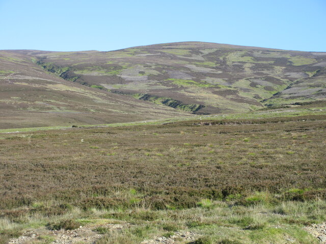
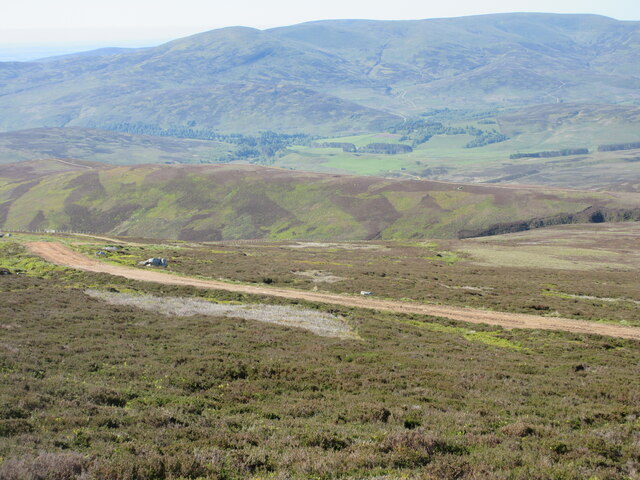
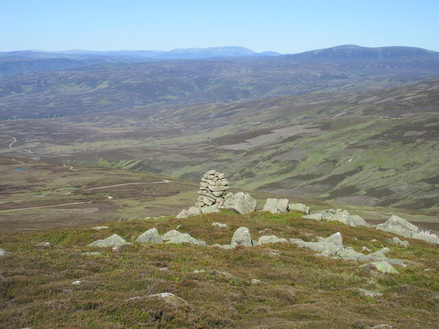
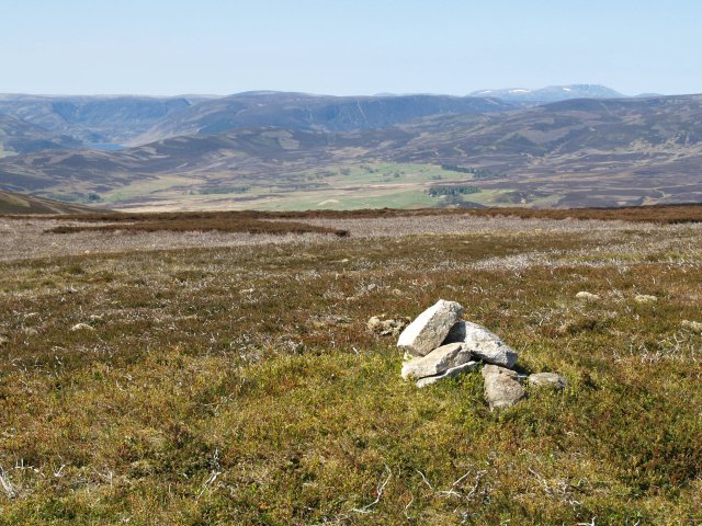
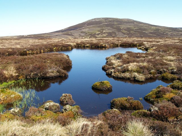
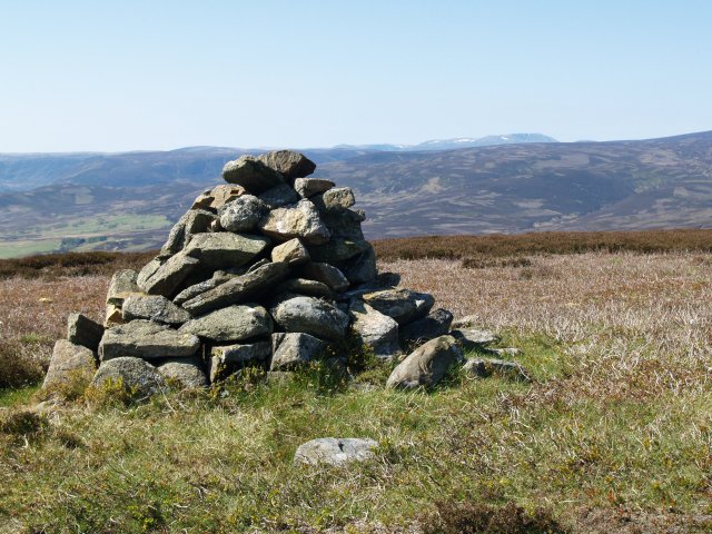
Bennygray is characterized by its distinctive shape, with a gently sloping northern side and a steeper, craggy southern face. The summit of Bennygray offers panoramic views of the surrounding countryside, including the fertile farmland of Angus and the expansive North Sea coastline. On clear days, it is even possible to catch a glimpse of the distant Cairngorms National Park to the north.

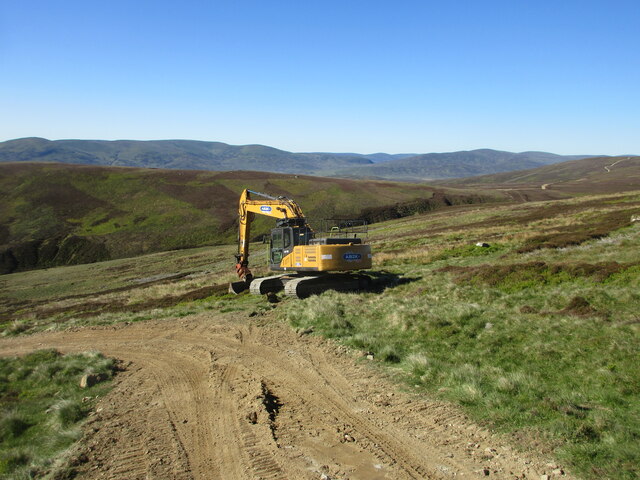
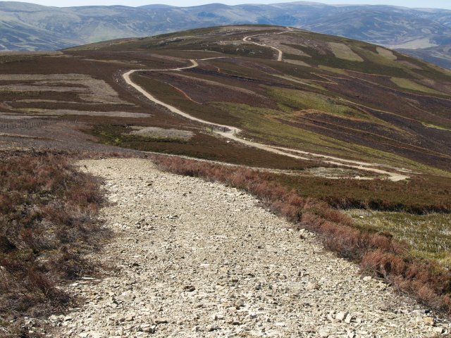
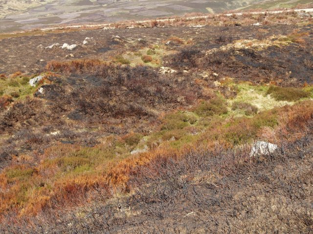
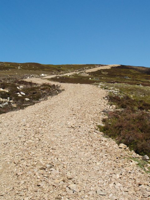
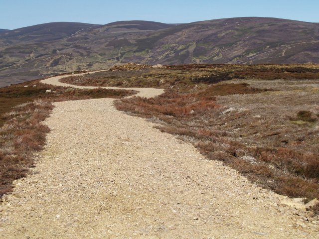
The hill/mountain is a popular destination for outdoor enthusiasts, attracting hikers, walkers, and nature lovers from near and far. Several well-marked trails lead to the summit, providing opportunities for both leisurely strolls and more challenging hikes. The area is also home to a diverse range of flora and fauna, with heather, bracken, and wildflowers dotting the landscape, and various bird species, such as red grouse and kestrels, soaring overhead.

Bennygray, Angus offers a tranquil and picturesque escape from the hustle and bustle of everyday life. Its natural beauty, combined with its accessibility and recreational opportunities, make it a beloved destination for those seeking to connect with nature and explore the stunning Scottish countryside.

If you have any feedback on the listing, please let us know in the comments section below.

Bennygray Images

Images are sourced within 2km of 56.939379/-2.7822302 or Grid Reference NO5283. Thanks to Geograph Open Source API. All images are credited.

Trench of the Castlehill Burn Looking across moorland to the course of the Castlehill Burn heading up the hillside.
Trench of the Castlehill Burn
Looking across moorland to the course of the Castlehill Burn heading up the hillside.
Digger halfway up a mountain Excavator on the track heading up Wester Cairn.
Digger halfway up a mountain
Excavator on the track heading up Wester Cairn.
Track up Wester Cairn Looking south to the track heading up Wester Cairn, with Glen Esk in the distance.
Track up Wester Cairn
Looking south to the track heading up Wester Cairn, with Glen Esk in the distance.
The Cairn on Wester Cairn Looking west to the cairn, with Lochnagar and Mount Keen on the horizon.
The Cairn on Wester Cairn
Looking west to the cairn, with Lochnagar and Mount Keen on the horizon.
View towards Wester Cairn from Mount Battock
Estate road, Mount Een The track from the summit of Mount Een to Craig Soales.  Patches of heather at various stages or regeneration after burning can be seen.
Estate road, Mount Een
The track from the summit of Mount Een to Craig Soales. Patches of heather at various stages or regeneration after burning can be seen.
Burnt heather,  Mount Een The heather is regularly burnt to promote new growth, which provides food for the Grouse.
Burnt heather, Mount Een
The heather is regularly burnt to promote new growth, which provides food for the Grouse.
Summit Cairn, Mount Een The top is rather flat but with good views.
Summit Cairn, Mount Een
The top is rather flat but with good views.
Estate road, Mount Een The network of estate roads in this area rather distract from the landscape.
Estate road, Mount Een
The network of estate roads in this area rather distract from the landscape.
Estate road, Mount Een Takes the flat ridge between Mount Een and Bennygray.
Estate road, Mount Een
Takes the flat ridge between Mount Een and Bennygray.
Bogpool, Bennygray Looking towards Mount Battock.
Bogpool, Bennygray
Looking towards Mount Battock.
Summit Cairn, Bennygray Another flat summit with good views.
Summit Cairn, Bennygray
Another flat summit with good views.
Estate road, Bennygray Looking towards Wester Cairn.
Estate road, Bennygray
Looking towards Wester Cairn.
Peat and bogpool, Castle Hill Most of the flat ground around these hills is relatively dry, but this area is more waterlogged and eroded.
Peat and bogpool, Castle Hill
Most of the flat ground around these hills is relatively dry, but this area is more waterlogged and eroded.
Track junction, Wester Cairn The tracks here rather spoil the landscape.
Track junction, Wester Cairn
The tracks here rather spoil the landscape.
Cairn, Wester Cairn Not the summit, but slightly lower.  A shapely pile of Cairngorm granite.
Cairn, Wester Cairn
Not the summit, but slightly lower. A shapely pile of Cairngorm granite.
Grouse butts, Wester Cairn Looking more like giant packing cases discarded by some passing helicopter...
Grouse butts, Wester Cairn
Looking more like giant packing cases discarded by some passing helicopter...
Confluence, White and Black Burns Black comes in from the left, almost hidden in the photograph, to join with the White Burn, both uniting to form the Burn of Turret.
Confluence, White and Black Burns
Black comes in from the left, almost hidden in the photograph, to join with the White Burn, both uniting to form the Burn of Turret.
Show me another place!

Bennygray is located at Grid Ref: NO5283 (Lat: 56.939379, Lng: -2.7822302)

Unitary Authority: Angus

Police Authority: Tayside

What 3 Words

///cakewalk.snapping.necklaces. Near Aboyne, Aberdeenshire

Nearby Locations

Bennygray

Related Wikis

Mount Battock

Mount Battock (778 m) is a mountain in the Mounth on the eastern edge of the Scottish Highlands, on the border between Aberdeenshire and Angus. A rounded...

Millden

Millden is a hamlet, estate and farmstead in Glenesk, Angus, Scotland. It is situated in the upper course of the Glen Esk valley, where the Burn of Turret...

Tarfside

Tarfside is a small hamlet in Angus, Scotland. It is situated in Glen Esk, on the upper course of the River North Esk, around 8 miles north of Edzell,...

Colmeallie stone circle

The Colmeallie stone circle is a recumbent stone circle in Glen Esk, Angus, Scotland. It is located 8 km north of Edzell at Colmeallie Farm, adjacent to...

Nearby Amenities

Located within 500m of 56.939379,-2.7822302
Bennygray
Ele: 557
Natural: peak
Lat/Long: 56.9390777/-2.7820375
The data included in this document is from www.openstreetmap.org. The data is made available under ODbL.

Have you been to Bennygray?

Leave your review of Bennygray below (or comments, questions and feedback).