Brackenstake

Hill, Mountain in Aberdeenshire

Scotland

Brackenstake

Forest of Birse Kirk
Forest of Birse Kirk Credit: Mike Pennington

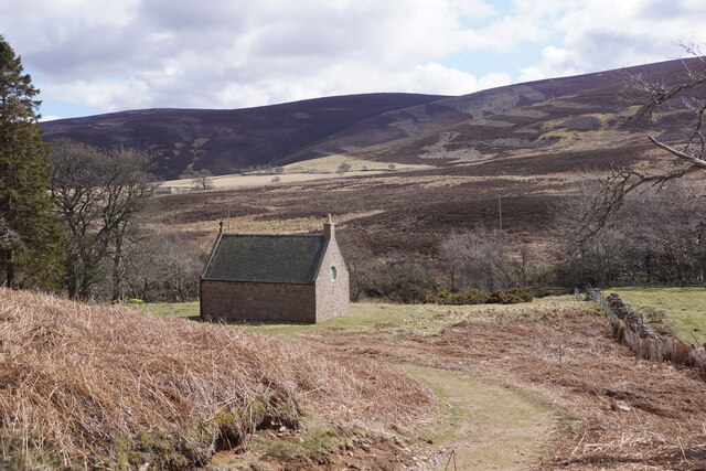
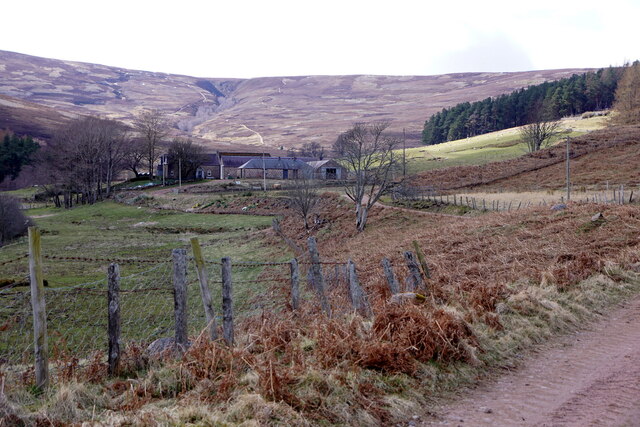
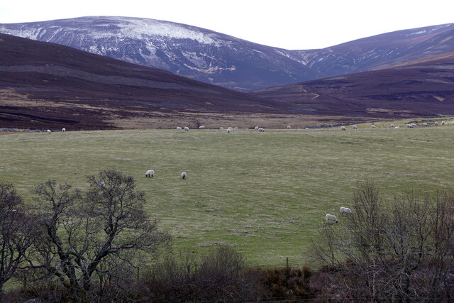
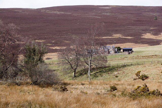
Brackenstake is a prominent hill located in the picturesque region of Aberdeenshire, Scotland. Rising majestically to an elevation of approximately 600 meters, it forms part of the stunning Grampian Mountain range. The hill is situated in a remote and tranquil area, surrounded by rolling green pastures, charming villages, and dense forests, making it a haven for outdoor enthusiasts and nature lovers.

Brackenstake boasts a distinctive shape with a gently sloping, grassy terrain, adorned with an abundance of bracken, heather, and wildflowers during the summer months. Its summit offers breathtaking panoramic views of the surrounding countryside, including the shimmering waters of nearby Loch Kinord and the distant Cairngorms National Park.

For hikers, Brackenstake provides a rewarding and challenging ascent, with various trails to cater to different levels of experience. The well-marked paths guide visitors through enchanting woodlands, over babbling brooks, and across open moorland, allowing them to immerse themselves in the captivating natural beauty of the area.

Aside from its natural allure, Brackenstake holds historical significance as well. The hill is known to have been a site of ancient settlements, with remnants of stone circles and cairns still visible. These archaeological features add an intriguing layer to the already captivating landscape, providing a glimpse into the rich history of the region.

In conclusion, Brackenstake in Aberdeenshire is a captivating hill that offers visitors a chance to immerse themselves in the stunning natural beauty of the Scottish countryside. With its picturesque trails, breathtaking views, and historical significance, it is a destination that truly captures the essence of the Scottish Highlands.

If you have any feedback on the listing, please let us know in the comments section below.
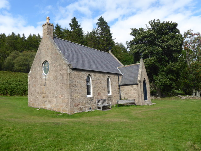
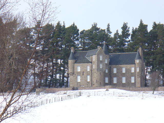
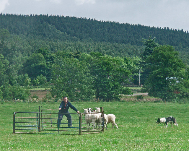
Brackenstake Images

Images are sourced within 2km of 57.019113/-2.787297 or Grid Reference NO5292. Thanks to Geograph Open Source API. All images are credited.

Forest of Birse Kirk
Ballochan, Forest of Birse
Fields at Ballochan, Forest of Birse
Wester Floors, Forest of Birse
Forest of Birse Parish Church Open for summer services; and a popular hiker's resting site in the upper valley of the River Feugh. Built originally to minister to a small community of scattered farmsteads.
Forest of Birse Parish Church
Open for summer services; and a popular hiker's resting site in the upper valley of the River Feugh. Built originally to minister to a small community of scattered farmsteads.
Interior of Forest of Birse Kirk (Sept 2017) Pulpit, altar and organ beneath an oriel window; with hymn number board still showing last Sunday's order of service.
Interior of Forest of Birse Kirk (Sept 2017)
Pulpit, altar and organ beneath an oriel window; with hymn number board still showing last Sunday's order of service.
A photo collage inside Forest of Birse kirk On display at the rear of the pews.
A photo collage inside Forest of Birse kirk
On display at the rear of the pews.
Access path to Forest of Birse kirk From the parking place on the public road.
Access path to Forest of Birse kirk
From the parking place on the public road.
Balfour to The Fungle path Heading for a choice of routes - either over Craig Ferg or along the old route on the flanks of the hill.
Balfour to The Fungle path
Heading for a choice of routes - either over Craig Ferg or along the old route on the flanks of the hill.
Lamawhillis A small wooded hill above Glencat. The southern side is more open than the densely wooded area north of the ridge.
Lamawhillis
A small wooded hill above Glencat. The southern side is more open than the densely wooded area north of the ridge.
Forest of Birse kirk in its surroundings The tiny kirk was erected in 1891 and is C-listed (LB47114):  <span class="nowrap"><a title="http://portal.historicenvironment.scot/designation/LB47114" rel="nofollow ugc noopener" href="http://portal.historicenvironment.scot/designation/LB47114">Link</a><img style="margin-left:2px;" alt="External link" title="External link - shift click to open in new window" src="https://s1.geograph.org.uk/img/external.png" width="10" height="10"/></span> .
Forest of Birse kirk in its surroundings
The tiny kirk was erected in 1891 and is C-listed (LB47114): LinkExternal link .
Allachaller burn
Allachaller burn
Distant view of Wester Floors farm... ...with Brackenstake hill (elev. 474 m) behind it.
Distant view of Wester Floors farm...
...with Brackenstake hill (elev. 474 m) behind it.
Forest of Birse Church Forest of Birse Church is located in a remote, rural valley, accessed only by a five mile long single-track road. There is sparse woodland and rough grazing land around the church site and a narrow stream is a short distance to the south. 

The church or chapel was built in the early 1890s to act as a church and school for the remote and sparsely-populated community. It replaced a late 18th century church built by local heritors. A small ruin close to the church was the school teacher's house, but this was abandoned in the 1890s and the church ceased to be a school in 1933. The church is still in use today for fairly regular services. 
Source:  Places of Worship in Scotland <span class="nowrap"><a title="http://www.scottishchurches.org.uk/sites/site/id/9652/name/Forest+of+Birse+Church+Birse+Grampian" rel="nofollow ugc noopener" href="http://www.scottishchurches.org.uk/sites/site/id/9652/name/Forest+of+Birse+Church+Birse+Grampian">Link</a><img style="margin-left:2px;" alt="External link" title="External link - shift click to open in new window" src="https://s1.geograph.org.uk/img/external.png" width="10" height="10"/></span>
Forest of Birse Church
Forest of Birse Church is located in a remote, rural valley, accessed only by a five mile long single-track road. There is sparse woodland and rough grazing land around the church site and a narrow stream is a short distance to the south. The church or chapel was built in the early 1890s to act as a church and school for the remote and sparsely-populated community. It replaced a late 18th century church built by local heritors. A small ruin close to the church was the school teacher's house, but this was abandoned in the 1890s and the church ceased to be a school in 1933. The church is still in use today for fairly regular services. Source: Places of Worship in Scotland LinkExternal link
View to Carn Ferg from shooting hut on Fungle Road View to Carn Ferg from shooting hut on Fungle Road, lovely day
View to Carn Ferg from shooting hut on Fungle Road
View to Carn Ferg from shooting hut on Fungle Road, lovely day
Forest of Birse Kirk Isolated kirk tucked away in a quiet glen in the eastern Highlands.
Forest of Birse Kirk
Isolated kirk tucked away in a quiet glen in the eastern Highlands.
Fungle Track Above Upper Feughside Moorland track descending to the headwaters of the Feugh by Birse Castle. The way carries on, over the Mounth, to Tarfside in Angus.
Fungle Track Above Upper Feughside
Moorland track descending to the headwaters of the Feugh by Birse Castle. The way carries on, over the Mounth, to Tarfside in Angus.
Show me another place!

Brackenstake is located at Grid Ref: NO5292 (Lat: 57.019113, Lng: -2.787297)

Unitary Authority: Aberdeenshire

Police Authority: North East

What 3 Words

///mailing.kitchen.distilled. Near Aboyne, Aberdeenshire

Nearby Locations

Brackenstake

Related Wikis

Nearby Amenities

Located within 500m of 57.019113,-2.787297
Brackenstake
Ele: 474
Natural: peak
Lat/Long: 57.0192905/-2.789837
The data included in this document is from www.openstreetmap.org. The data is made available under ODbL.

Have you been to Brackenstake?

Leave your review of Brackenstake below (or comments, questions and feedback).