Camp Hill
Hill, Mountain in Somerset South Somerset
England
Camp Hill
Camp Hill is a small hill located in Somerset, England. Standing at an elevation of approximately 60 meters, it is considered a "hill" rather than a "mountain." Despite its modest height, Camp Hill offers breathtaking panoramic views of the surrounding countryside, making it a popular spot for tourists and locals alike.
This picturesque hill is situated near the town of Shepton Mallet, in the Mendip Hills Area of Outstanding Natural Beauty. Its location in this designated protected area ensures that the natural environment remains largely untouched and preserved. The hill is covered in lush vegetation, including an assortment of trees, wildflowers, and grasses.
Camp Hill also holds historical significance, as it was once the site of an Iron Age hillfort. Archaeological evidence suggests that the fort was occupied from the late Bronze Age until the Roman period. Today, visitors can explore the remnants of the hillfort, including the earthworks and defensive ditches that were once used to protect the inhabitants.
For outdoor enthusiasts, Camp Hill offers a range of activities. Hiking and walking trails crisscross the hill, providing opportunities to explore the surrounding countryside and enjoy the stunning views. The hill is also a popular spot for picnicking, birdwatching, and nature photography.
In summary, Camp Hill in Somerset is a beautiful and historically significant hill that offers breathtaking views and a range of outdoor activities. Whether visitors are seeking a peaceful nature retreat or an opportunity to delve into the area's past, Camp Hill provides a memorable experience for all.
If you have any feedback on the listing, please let us know in the comments section below.
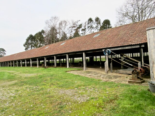
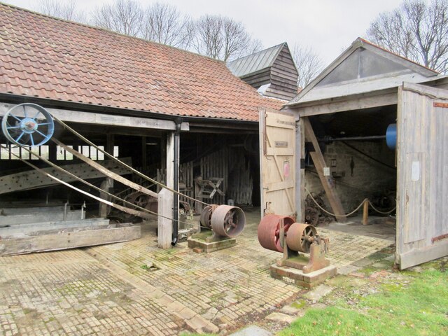
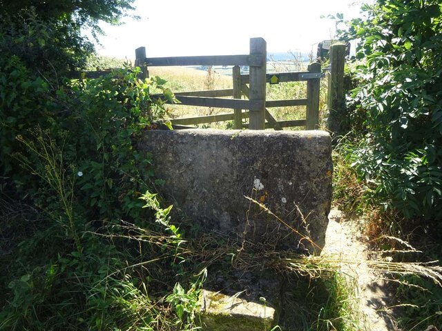
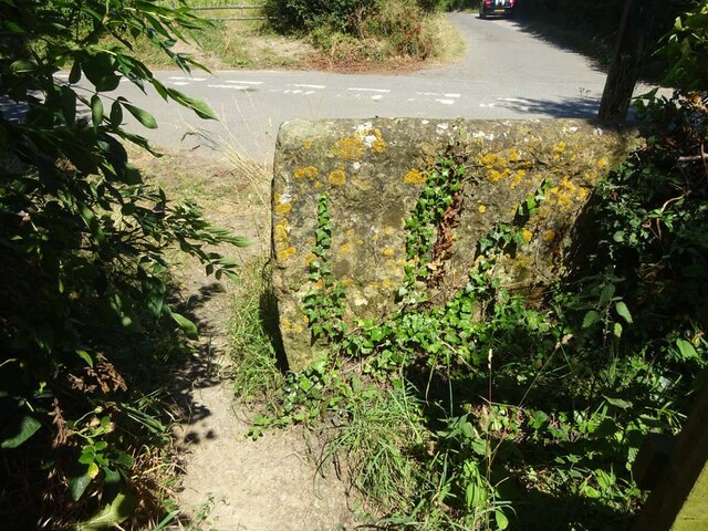
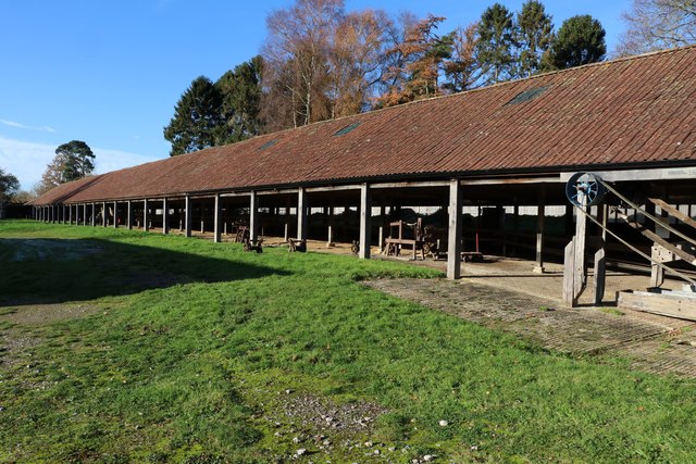
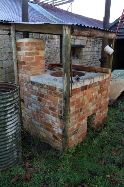
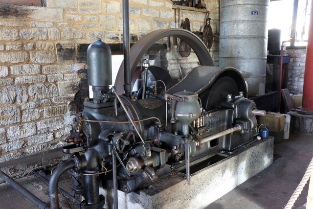
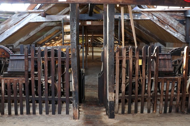
Camp Hill Images
Images are sourced within 2km of 50.926299/-2.6811575 or Grid Reference ST5214. Thanks to Geograph Open Source API. All images are credited.


Camp Hill is located at Grid Ref: ST5214 (Lat: 50.926299, Lng: -2.6811575)
Administrative County: Somerset
District: South Somerset
Police Authority: Avon and Somerset
What 3 Words
///composers.poodle.radically. Near West Coker, Somerset
Nearby Locations
Related Wikis

Manor House, West Coker
The Manor House in West Coker, Somerset, England has medieval origins, however the earliest surviving portions of the current building probably date from...

St Martin of Tours' Church, West Coker
St Martin of Tours' Church, West Coker is a Grade II* listed parish church in the Church of England in West Coker, Somerset. == History == The church dates...
St Andrew's Church, Brympton
The Church of St Andrew in Brympton, Somerset, England, dates from the 13th century and has been designated as a Grade I listed building. It is closely...

West Coker
West Coker is a large village and civil parish in Somerset, England, situated 3 miles (4.8 km) south west of Yeovil in the South Somerset district. �...

Brympton d'Evercy
Brympton d'Evercy (alternatively Brympton House), a grade I listed manor house near Yeovil in the county of Somerset, England, has been called the most...

Brympton
Brympton is a civil parish and electoral ward in Somerset, England. The parish is situated on the north-west edge of Yeovil in the South Somerset district...

Naish Priory
Naish Priory in East Coker, Somerset, England, contains portions of a substantial house dating from the mid 14th century to around 1400. Emery says the...

Hardington Moor
Hardington Moor (grid reference ST515130) is an 8.7 hectare biological Site of Special Scientific Interest between Hardington Mandeville and West Coker...
Nearby Amenities
Located within 500m of 50.926299,-2.6811575Have you been to Camp Hill?
Leave your review of Camp Hill below (or comments, questions and feedback).