Carnbee Law
Hill, Mountain in Fife
Scotland
Carnbee Law

Carnbee Law is a prominent hill located in the region of Fife, Scotland. Situated near the village of Carnbee, it is a well-known landmark in the area. The hill stands at an elevation of approximately 187 meters (614 feet) and offers stunning panoramic views of the surrounding countryside.
Carnbee Law is characterized by its distinctive conical shape, which is a result of its volcanic origins. The hill is composed of basalt, a type of volcanic rock, and is part of the larger volcanic complex known as the Largo Law Volcanic System. This system includes several other hills and rocky outcrops in the region.
The hill is accessible to hikers and outdoor enthusiasts, with a network of paths and trails leading to the summit. The ascent is relatively moderate, making it suitable for individuals of various fitness levels. Along the way, visitors can admire the diverse flora and fauna that inhabit the area, including heather, gorse, and various bird species.
Once at the top, visitors are rewarded with breathtaking views of the surrounding landscape. On clear days, it is possible to see as far as the Firth of Forth and the East Neuk of Fife. The hill also offers a vantage point to observe nearby landmarks, such as the Largo Law and the town of St Andrews.
Carnbee Law serves as a popular destination for both locals and tourists, attracting nature lovers, walkers, and photographers seeking to capture the beauty of the Fife countryside.
If you have any feedback on the listing, please let us know in the comments section below.
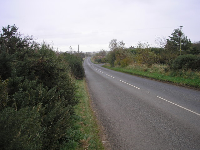
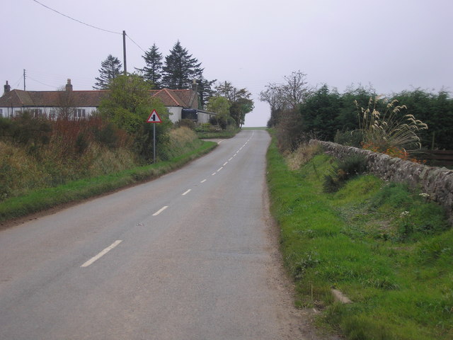
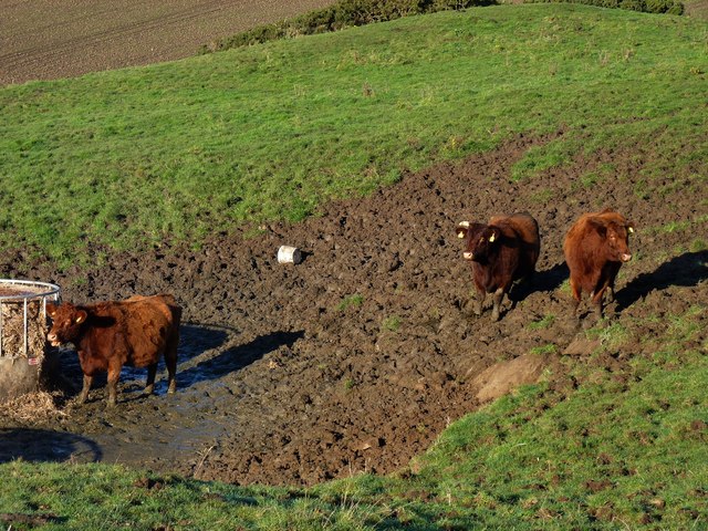
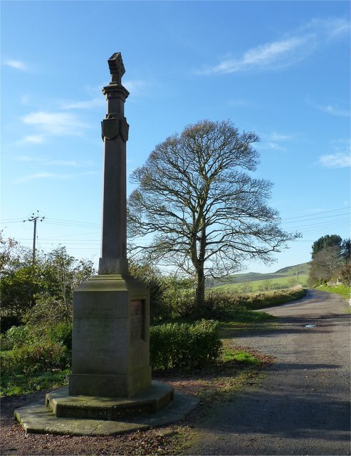
Carnbee Law Images
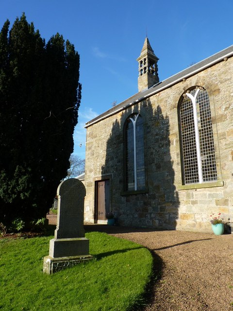
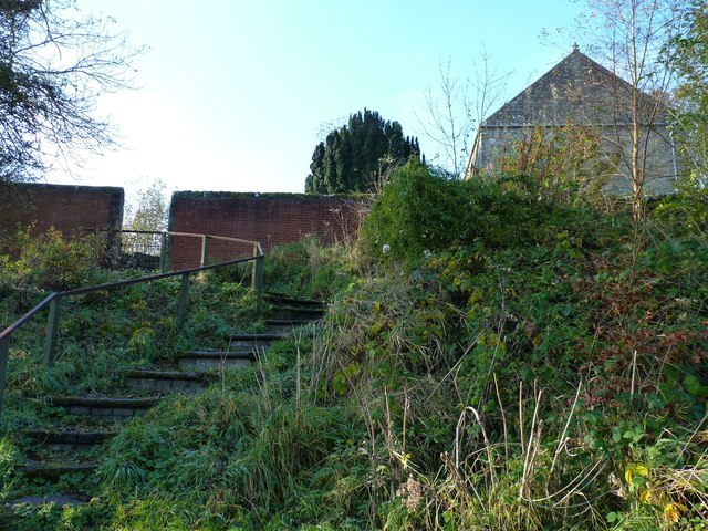
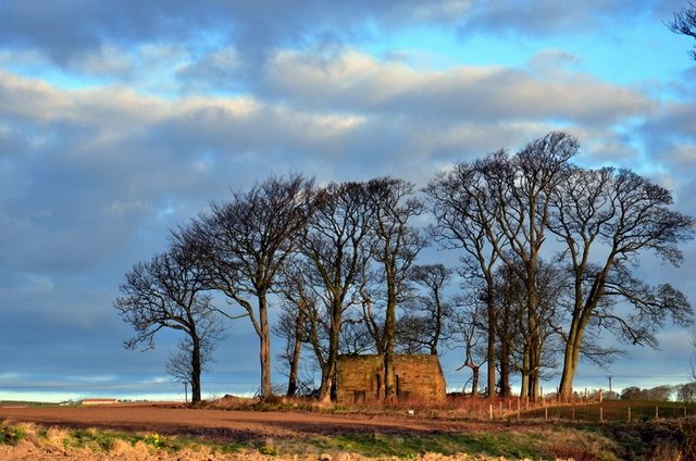
Images are sourced within 2km of 56.250459/-2.7733816 or Grid Reference NO5206. Thanks to Geograph Open Source API. All images are credited.


Carnbee Law is located at Grid Ref: NO5206 (Lat: 56.250459, Lng: -2.7733816)
Unitary Authority: Fife
Police Authority: Fife
What 3 Words
///firms.guests.vesting. Near St Monans, Fife
Nearby Locations
Related Wikis
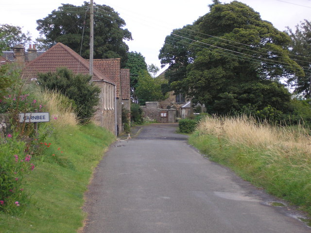
Carnbee, Fife
Carnbee is a village and rural parish in the inland part of the East Neuk of Fife, Scotland. == Location == It lies to the north of Anstruther and Pittenweem...

Kellie Castle
Kellie Castle is a castle just outside Arncroach and below the dominant hill in the area, Kellie Law. It is about 4 kilometres north of Pittenweem in...

Pittarthie Castle
Pittarthie Castle is the remains of what was a laird’s tower house in Fife, Scotland dating to the end of the sixteenth century. The ruins of the structure...

Arncroach
Arncroach is a small village situated in the east of Fife, four miles inland of the fishing village of Pittenweem and around 10 miles away from St Andrews...
Nearby Amenities
Located within 500m of 56.250459,-2.7733816Have you been to Carnbee Law?
Leave your review of Carnbee Law below (or comments, questions and feedback).