Craig Crane

Hill, Mountain in Angus

Scotland

Craig Crane

Mill of Aucheen Looking up the road to the farmhouse at the Mill of Aucheen.
Mill of Aucheen Credit: Scott Cormie

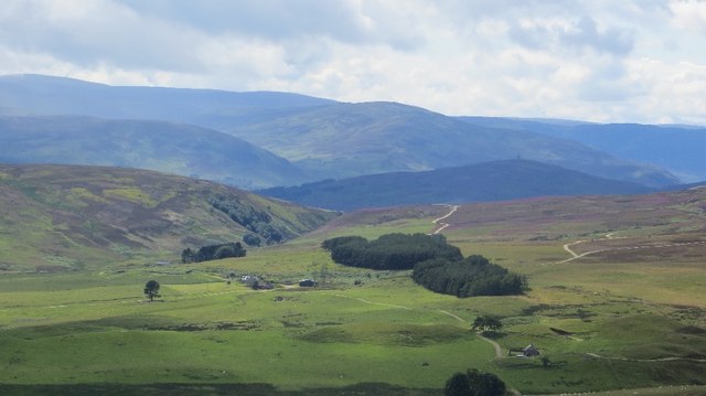
Craig Crane, also known as Angus Hill or Angus Mountain, is a prominent geographical feature located in the county of Angus, Scotland. Rising to an elevation of approximately 560 meters (1,840 feet), it is situated within the Grampian Mountain range, which spans across the eastern part of the country.

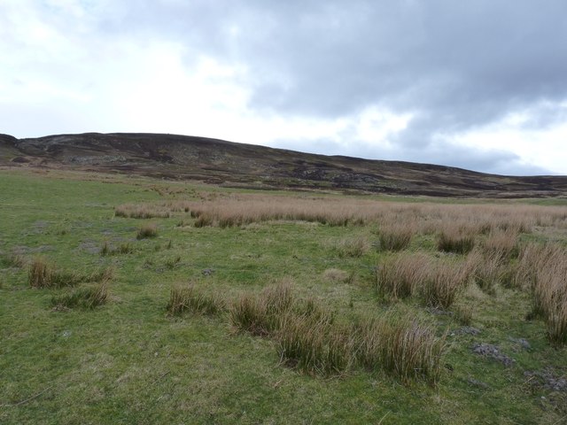
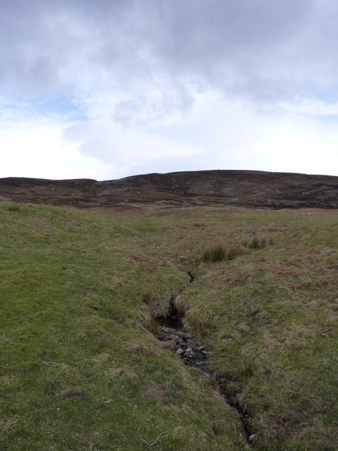
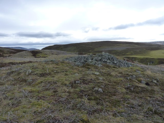
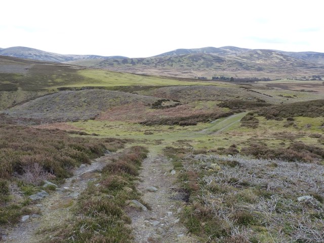
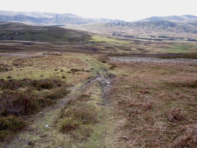
Craig Crane is characterized by its rugged and steep slopes, which are predominantly composed of sedimentary rocks such as sandstone and shale. The mountain's summit offers breathtaking panoramic views of the surrounding landscape, including the rolling hills and glens that stretch out towards the horizon.

The region surrounding Craig Crane is known for its rich biodiversity. The mountain is home to a variety of plant and animal species, with heather, mosses, and grasses covering its slopes. Birdwatchers often flock to the area to observe the numerous species of birds that inhabit the mountain, including buzzards, kestrels, and peregrine falcons.

Craig Crane attracts outdoor enthusiasts and hikers who are eager to explore its challenging terrain. There are several well-marked trails that lead to the summit, offering visitors the opportunity to experience the beauty of the Scottish countryside up close. However, caution is advised, as the weather conditions in the area can change rapidly, and the terrain can be treacherous, especially during winter months when snow and ice cover the slopes.

Overall, Craig Crane, also known as Angus Hill or Angus Mountain, is a magnificent natural landmark that showcases the rugged beauty of the Angus region in Scotland. Its towering presence and stunning views make it a popular destination for nature lovers and adventurers alike.

If you have any feedback on the listing, please let us know in the comments section below.
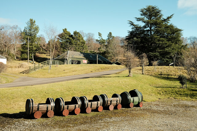
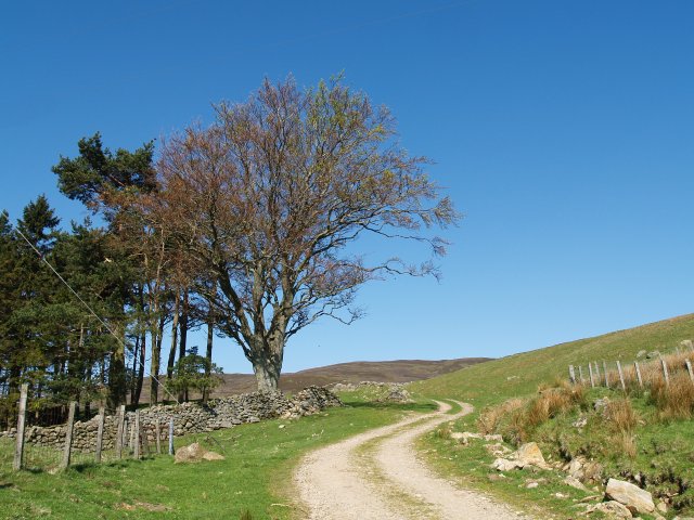
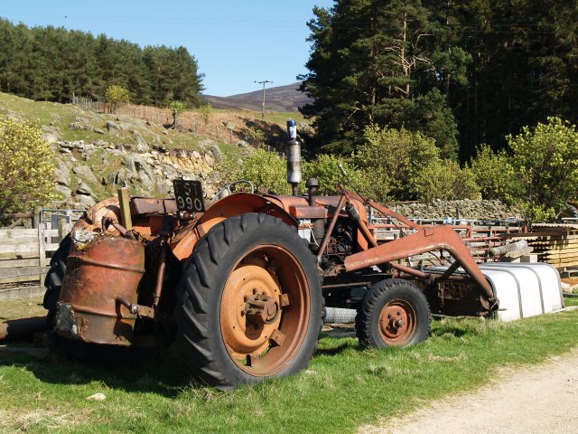
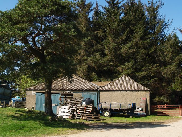
Craig Crane Images

Images are sourced within 2km of 56.900284/-2.7919199 or Grid Reference NO5179. Thanks to Geograph Open Source API. All images are credited.

Mill of Aucheen Looking up the road to the farmhouse at the Mill of Aucheen.
Mill of Aucheen
Looking up the road to the farmhouse at the Mill of Aucheen.
Road from Glen Esk Looking down the road from Glen Esk
Road from Glen Esk
Looking down the road from Glen Esk
Looking up Glen Esk The view from a handy layby
Looking up Glen Esk
The view from a handy layby
Train for plants Whisky barrels ready to be planted with flowers at this folk museum
Train for plants
Whisky barrels ready to be planted with flowers at this folk museum
Track, Wester Aucheen The track climbs past Broomfaulds then contours West to Townhead and Tarfside.
Track, Wester Aucheen
The track climbs past Broomfaulds then contours West to Townhead and Tarfside.
Old tractor, Blackcraigs This square is mixed woodland, rough grazing, and heather, with two farms.
Old tractor, Blackcraigs
This square is mixed woodland, rough grazing, and heather, with two farms.
Old sheds, Blackcraigs Farm
Blackcraigs View from Hill of Turret.
Blackcraigs
View from Hill of Turret.
The lower slopes of Craig Soales Lightly improved grassland at lower altitudes, which gives way to extensive grouse moor above.
The lower slopes of Craig Soales
Lightly improved grassland at lower altitudes, which gives way to extensive grouse moor above.
A tributary of the Burn of Mangey
The Mile Cairn An ancient cairn on the pass between Tarfside and Millden, with Craig Crane beyond.
The Mile Cairn
An ancient cairn on the pass between Tarfside and Millden, with Craig Crane beyond.
Track junction above Tarfside A few feet above the junction of tracks in the valley - the one we're climbing here leads high up onto Craig Soales and the grouse moors above.
Track junction above Tarfside
A few feet above the junction of tracks in the valley - the one we're climbing here leads high up onto Craig Soales and the grouse moors above.
Down the track that climbs Craig Soales
A small cairn on the hillside Unmarked on the maps, this cairn sits at about 1400' on the south side of Craig Soales.
A small cairn on the hillside
Unmarked on the maps, this cairn sits at about 1400' on the south side of Craig Soales.
Grouse moor and shooting butts above the Burn of Greenholm The whole hillside is actively managed for grouse rearing, and there's plenty of shooting to be had.
Grouse moor and shooting butts above the Burn of Greenholm
The whole hillside is actively managed for grouse rearing, and there's plenty of shooting to be had.
Rocks on the North Esk Interesting rock formations as the river cuts its way through the landscape. Taken from a private vehicle bridge crossing the river.
Rocks on the North Esk
Interesting rock formations as the river cuts its way through the landscape. Taken from a private vehicle bridge crossing the river.
Conifer plantation near Skelly
A farm track heading towards Millden estate above Tarfside Easy walking on the farm track, with grouse moors on the hills to the left, just out of shot.
A farm track heading towards Millden estate above Tarfside
Easy walking on the farm track, with grouse moors on the hills to the left, just out of shot.
Show me another place!

Craig Crane is located at Grid Ref: NO5179 (Lat: 56.900284, Lng: -2.7919199)

Unitary Authority: Angus

Police Authority: Tayside

What 3 Words

///life.litigate.cove. Near Aboyne, Aberdeenshire

Nearby Locations

Craig Crane

Related Wikis

Millden

Millden is a hamlet, estate and farmstead in Glenesk, Angus, Scotland. It is situated in the upper course of the Glen Esk valley, where the Burn of Turret...

Tarfside

Tarfside is a small hamlet in Angus, Scotland. It is situated in Glen Esk, on the upper course of the River North Esk, around 8 miles north of Edzell,...

Colmeallie stone circle

The Colmeallie stone circle is a recumbent stone circle in Glen Esk, Angus, Scotland. It is located 8 km north of Edzell at Colmeallie Farm, adjacent to...

Mount Battock

Mount Battock (778 m) is a mountain in the Mounth on the eastern edge of the Scottish Highlands, on the border between Aberdeenshire and Angus. A rounded...

Nearby Amenities

Located within 500m of 56.900284,-2.7919199
Craig Crane
Ele: 335
Natural: peak
Lat/Long: 56.9004298/-2.7916458
Power: pole
Lat/Long: 56.8984543/-2.7992608
Power: pole
Lat/Long: 56.8985458/-2.7980891
Power: pole
Lat/Long: 56.8982668/-2.7970199
Power: pole
Lat/Long: 56.8979867/-2.7959882
Power: pole
Lat/Long: 56.8977109/-2.7949506
Power: pole
Lat/Long: 56.8974286/-2.7938754
Power: pole
Lat/Long: 56.8971399/-2.7928023
Power: pole
Lat/Long: 56.8968555/-2.7917311
Power: pole
Lat/Long: 56.8965689/-2.7906521
Power: pole
Lat/Long: 56.896278/-2.7896204
Power: pole
Lat/Long: 56.8973112/-2.7957002
Power: pole
Lat/Long: 56.896932/-2.7964123
The data included in this document is from www.openstreetmap.org. The data is made available under ODbL.

Have you been to Craig Crane?

Leave your review of Craig Crane below (or comments, questions and feedback).