Bleaberry Hill

Hill, Mountain in Cumberland Eden

England

Bleaberry Hill

Eden Valley farmland A roadside view taken in mid-December.
Eden Valley farmland Credit: Mary and Angus Hogg

Bleaberry Hill, located in the county of Cumberland in England, is a prominent hill and part of the Skiddaw range in the Lake District National Park. Standing at an elevation of 590 meters (1,936 feet), it is classified as a Marilyn, which refers to hills in the British Isles with a prominence of at least 150 meters.

The hill boasts a distinct rounded shape with grassy slopes, making it a popular destination for hikers and nature enthusiasts. It offers breathtaking panoramic views of the surrounding landscape, including nearby Bassenthwaite Lake, Keswick, and the Skiddaw massif. On clear days, the summit provides vistas that extend as far as the Solway Firth and the Scottish hills.

The ascent to Bleaberry Hill is relatively straightforward, with well-defined paths leading to the top. One of the most common routes starts from the village of Applethwaite, taking hikers through scenic woodlands before reaching the open hillside. The hike typically takes around 2-3 hours to complete, depending on individual fitness levels.

Wildlife is abundant in the area, with various bird species, including the rare ring ouzel, frequently spotted. The hill's heather-covered slopes also attract a diverse range of insects and butterflies. Additionally, Bleaberry Hill is part of a network of trails that connect it with neighboring peaks, providing further opportunities for exploration and longer hikes.

Overall, Bleaberry Hill offers visitors a chance to immerse themselves in the natural beauty of the Lake District, providing a rewarding experience for outdoor enthusiasts and those seeking stunning views of the surrounding countryside.

If you have any feedback on the listing, please let us know in the comments section below.

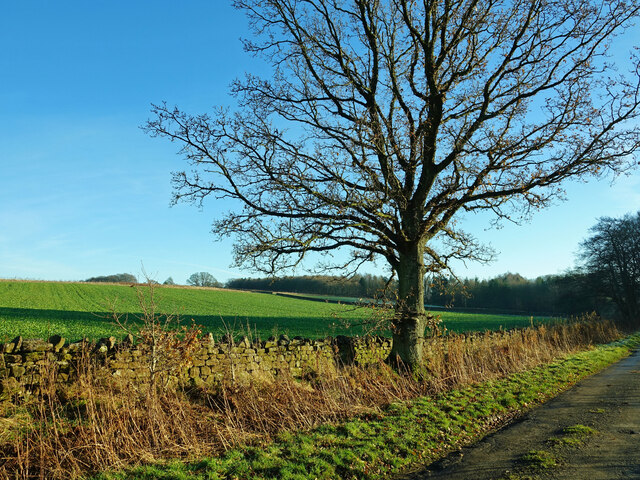
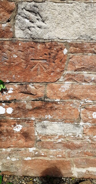
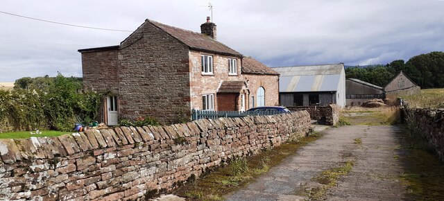
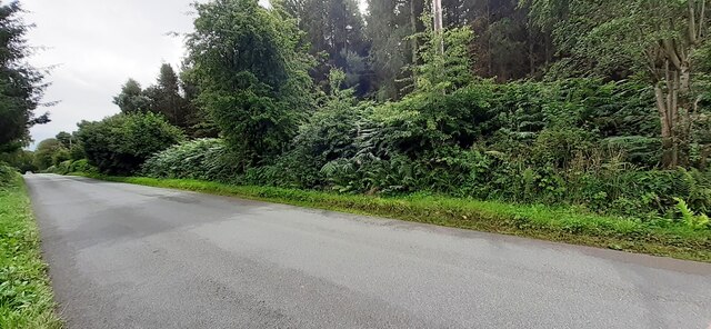
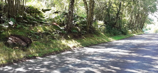
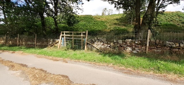
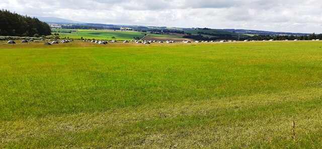
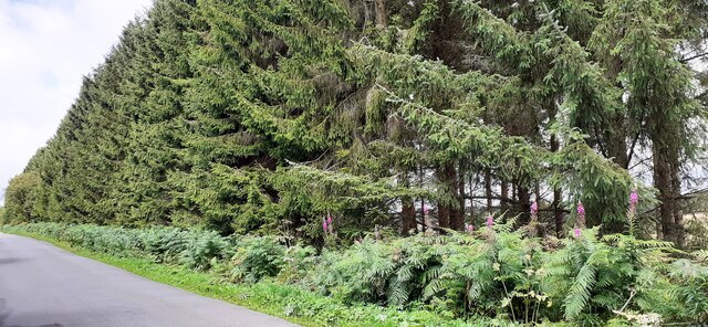
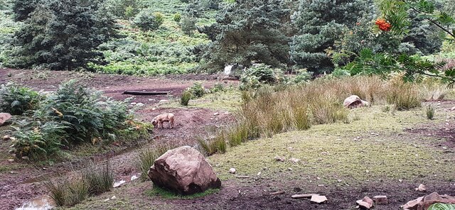
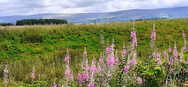
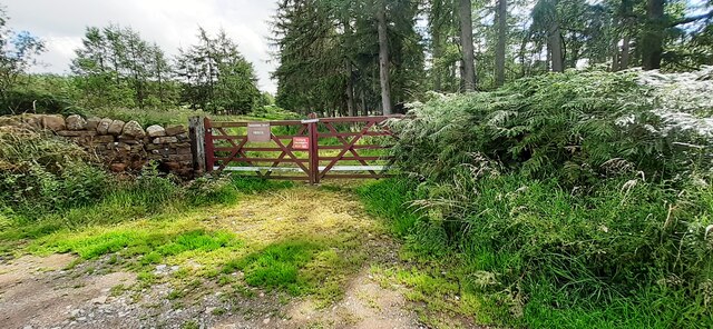
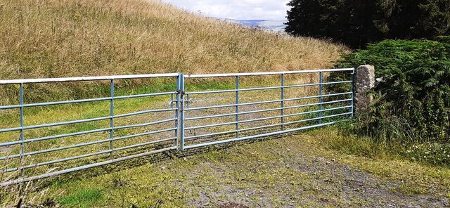
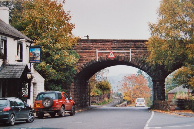
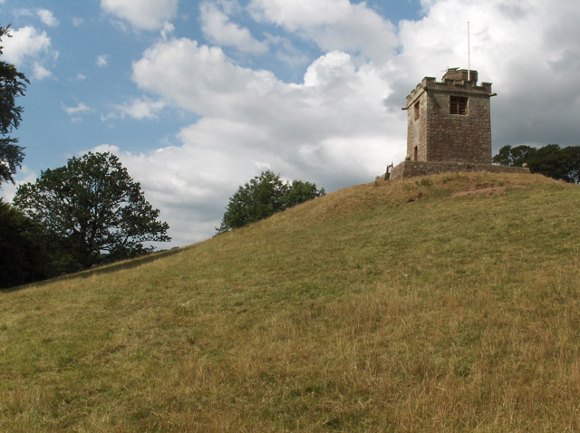
Bleaberry Hill Images

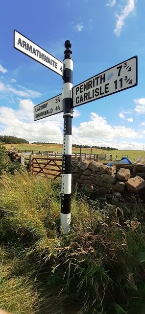
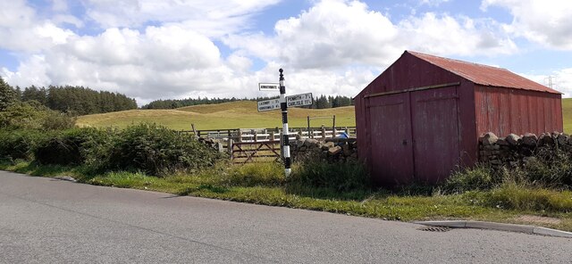
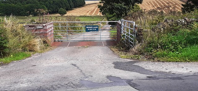
Images are sourced within 2km of 54.752892/-2.7520849 or Grid Reference NY5140. Thanks to Geograph Open Source API. All images are credited.

Eden Valley farmland A roadside view taken in mid-December.
Eden Valley farmland
A roadside view taken in mid-December.
Benchmark on Cragnook Farm House Ordnance Survey cut mark benchmark levelled at 146.069m above Newlyn Datum verified 1972
Benchmark on Cragnook Farm House
Ordnance Survey cut mark benchmark levelled at 146.069m above Newlyn Datum verified 1972
Cragnook Farm farm house and access road There is an Ordnance Survey benchmark <a href="https://www.geograph.org.uk/photo/7245210">NY5340 : Benchmark on Cragnook Farm House</a> on the near corner, right hand face, of the farmhouse
Cragnook Farm farm house and access road
There is an Ordnance Survey benchmark NY5340 : Benchmark on Cragnook Farm House on the near corner, right hand face, of the farmhouse
Rural road through forestry NW of Crag Nook Ordnance Survey documents indicate that a benchmark levelled at 151.197m above Newlyn Datum was verified in 1972 on the side of the road here
Rural road through forestry NW of Crag Nook
Ordnance Survey documents indicate that a benchmark levelled at 151.197m above Newlyn Datum was verified in 1972 on the side of the road here
Cumberland County Council finger signpost at T-junction south of Low Plains The signpost has Milestone Society National ID:  CU_NY5040
Cumberland County Council finger signpost at T-junction south of Low Plains
The signpost has Milestone Society National ID: CU_NY5040
Signpost and shed on south side of rural road near Castlerigg Farm There is a close-up of the Cumberland County Council signpost at <a href="https://www.geograph.org.uk/photo/7245275">NY5040 : Cumberland County Council finger signpost at T-junction south of Low Plains</a>
Signpost and shed on south side of rural road near Castlerigg Farm
There is a close-up of the Cumberland County Council signpost at NY5040 : Cumberland County Council finger signpost at T-junction south of Low Plains
Entrance gateway for access to farmland of Lazonby Estate from NW side of road Ordnance Survey records indicate that a benchmark levelled at 153.568m above Newlyn Datum was verified in 1974 on a gatepost closer to the public road than the present gateway
Entrance gateway for access to farmland of Lazonby Estate from NW side of road
Ordnance Survey records indicate that a benchmark levelled at 153.568m above Newlyn Datum was verified in 1974 on a gatepost closer to the public road than the present gateway
Benchmark on rock on south side of road at Bleaberry Hill Ordnance Survey pivot benchmark levelled at 166.819m above Newlyn Datum verified 1974
Benchmark on rock on south side of road at Bleaberry Hill
Ordnance Survey pivot benchmark levelled at 166.819m above Newlyn Datum verified 1974
Rural road passing through woodland at Bleaberry Hill There is an Ordnance Survey benchmark <a href="https://www.geograph.org.uk/photo/7245601">NY5141 : Benchmark on rock on south side of road at Bleaberry Hill</a> on the rock in the roadside verge near the left hand edge of the image
Rural road passing through woodland at Bleaberry Hill
There is an Ordnance Survey benchmark NY5141 : Benchmark on rock on south side of road at Bleaberry Hill on the rock in the roadside verge near the left hand edge of the image
Gate into Castlerigg Plantation from road to Castlerigg Farm
Field with pig shelters viewed from road to Castlerigg Farm
Woodland strip on NE side of rural road NW of Crag Nook
Pigs in rough field on SW side of road near Bleaberry Hill
Field on NE side of rural road at Baronwood Park
Gateway into Lazonby Fell Plantation at Bleaberry Hill (Brackenburgh Estate) Ordnance Survey records indicate that a benchmark levelled at 152.653m above Newlyn Datum was verified in 1974 on a stone in the wall on the left hand side of the gateway
Gateway into Lazonby Fell Plantation at Bleaberry Hill (Brackenburgh Estate)
Ordnance Survey records indicate that a benchmark levelled at 152.653m above Newlyn Datum was verified in 1974 on a stone in the wall on the left hand side of the gateway
Gateway on north side of road giving access to farmland near Middleholm Moss
Benchmark on rock on south side of road at Bleaberry Hill Ordnance Survey pivot benchmark levelled at 152.653m above Newlyn Datum verified 1973
Benchmark on rock on south side of road at Bleaberry Hill
Ordnance Survey pivot benchmark levelled at 152.653m above Newlyn Datum verified 1973
Rural road heading east past Bleaberry Hill There is an Ordnance Survey benchmark <a href="https://www.geograph.org.uk/photo/7250866">NY5141 : Benchmark on rock on south side of road at Bleaberry Hill</a> on top of the rock on the verge in the right foreground
Rural road heading east past Bleaberry Hill
There is an Ordnance Survey benchmark NY5141 : Benchmark on rock on south side of road at Bleaberry Hill on top of the rock on the verge in the right foreground
Show me another place!

Bleaberry Hill is located at Grid Ref: NY5140 (Lat: 54.752892, Lng: -2.7520849)

Administrative County: Cumbria

District: Eden

Police Authority: Cumbria

What 3 Words

///lakeside.resort.invest. Near Penrith, Cumbria

Related Wikis

Have you been to Bleaberry Hill?

Leave your review of Bleaberry Hill below (or comments, questions and feedback).